
Repeated floods: where should site review start, GenAnywhere
A review sequence for sites that flood more than once.
Begin with the route water takes through the site, then work outward to drainage, access and the uses that cannot move aside. A site that floods repeatedly rarely has one cause, so the review has to hold floodplain setting, ground, pipes and people in the same frame. Get that frame right and the argument about mitigation has something to stand on.
1 Fix the flood question before drawing anything
1.1 Which event should the review describe?
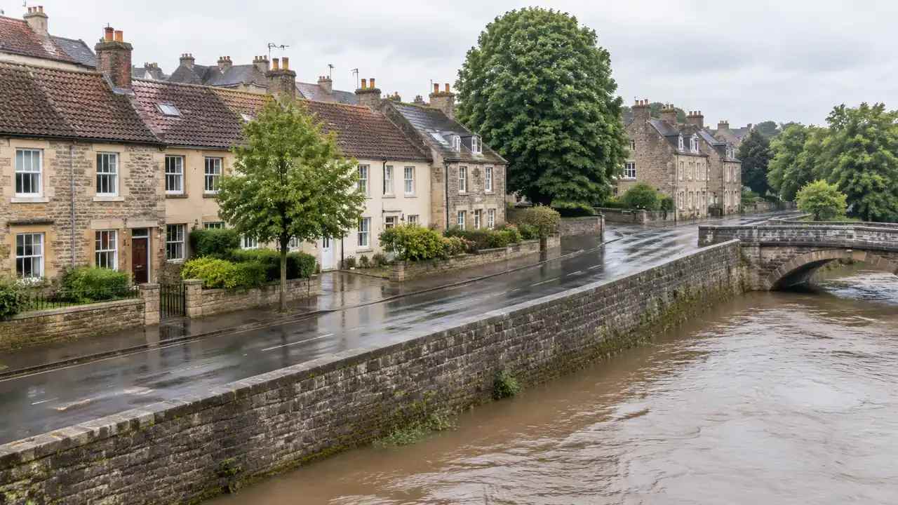
Pick a dated event and describe it in the record: rainfall, river level, tide and how long water stood. A review that merges three events into one picture cannot separate a drainage failure from a river problem. Use the event residents remember, then confirm the details with whoever keeps the records. If no event is documented, say so and treat the review as a screening exercise.
The review area should follow the water rather than the property line. Include the upstream inlet, the downstream outfall and the street that carries overland flow past the site. A boundary drawn tight around one building hides the cause and shows nothing but the effect.
1.2 What do existing records already show?
Flood studies, maintenance logs, insurance files and photographs from the day usually answer more than a new model will. Collect them before drawing anything, and note where they disagree. Two studies that give different depths for the same street are a finding in themselves. The review should name the conflict rather than average it away.
Ask neighbours what they remember about the same event. A shop two doors down may hold a photograph of the water line, and that image settles an argument about how far the water reached. Add the date and the viewpoint to the note so the photograph can be placed on the scene later.
2 Read the floodplain setting before the buildings
2.1 Where does the site sit in the floodplain?
Flood maps describe zones, not parcels, so the work is to see how a parcel sits inside its zone. FEMA publishes flood insurance rate maps for many communities in the United States, and the mapped zones there set the frame for the conversation. Link that frame to the buildings: the low corner of a car park, the raised ground floor, the wall that meets the river path. A site plan flattens those differences, while a scene keeps them in view.
Read the zone boundary against the access routes as well as the buildings. A site can sit mostly outside a mapped zone and still lose its entrance, its substation or its loading bay to the part that is inside. Draw the zone line on the scene and check what it crosses.
2.2 Where does water enter and leave?
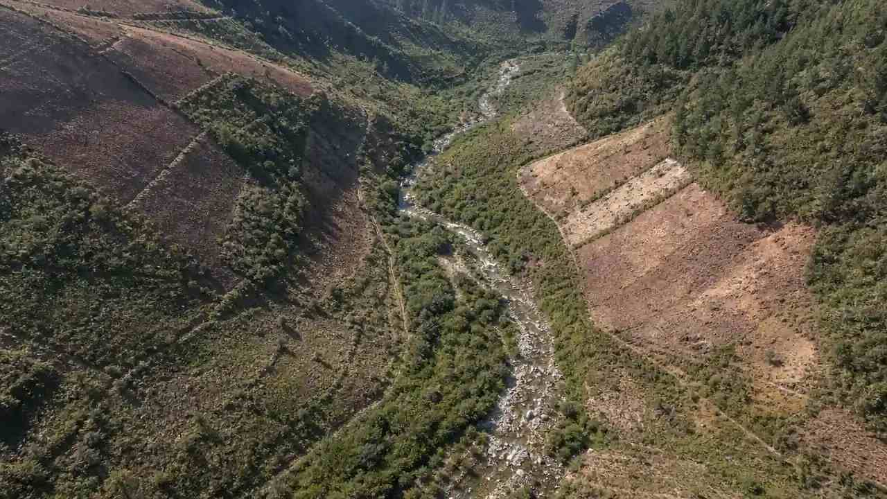
Trace entry points and exits separately. Water may arrive overland from a road, back up through a culvert, or rise from a river the site turns its back on. Each route implies a different response, and each needs its own line on the drawing. Mark the routes in the scene before anyone proposes a wall.
Flow paths ignore ownership. Water that crosses a neighbour's yard on its way to the site belongs in the review even when the neighbour is not a client. Mark the crossing point and note who maintains the wall or fence there, since that boundary often hides maintenance nobody has recorded.
3 Check drainage, ground and access
3.1 What does the drainage record show?
A drainage record tells you what was built, not what still works. Look for the outfall, the pumps, the non-return valves and the date of the last inspection. Where a system has been altered by later works, the drawings may be out of date. Ask the operator for the maintenance history and put the answer beside the asset on the drawing.
3.2 Can people and vehicles still reach the site during a flood?
Access is where a flood becomes a service problem. A route that closes at shallow depth cuts off deliveries, staff and emergency vehicles well before the building itself is affected. Check the approaches, the bridge or culvert that carries them, and the higher ground where vehicles could wait. The scene shows the approaches in context, while depth thresholds come from the highway authority.
Record the second route, if one exists. Many sites have an alternative that looks usable on a map and fails in practice because it passes through a dip or under a rail bridge. A short note on each approach saves an argument during the next closure.
4 Find the vulnerable uses and the places people can wait
4.1 Which uses cannot tolerate water?
List the ground-floor uses that fail early: electrical rooms, record stores, kitchens, clinics, basements used as workshops. A building can be dry upstairs and unusable for weeks if the ground floor holds the services. Mark those rooms on the plan, then check where they sit relative to the routes water takes.
Some of the most exposed rooms are the least visible. A switch room may sit behind a car park with no kerb, and a store may open onto a ramp that leads straight down. Ask the facilities team which rooms they protect with sandbags, because that answer points to the weak spots faster than any drawing.
4.2 Where can people wait out a closure?
Refuges are usually found by walking the site, not by drawing it. Look for upper floors with separate access, a hall on higher ground, a neighbour building outside the zone. The scene helps by showing which of those places stay reachable when the usual route is under water. Record the walking route and who would need help along it.
5 Read the site layers in GenAnywhere
5.1 What can a generated scene show about a flood-prone site?
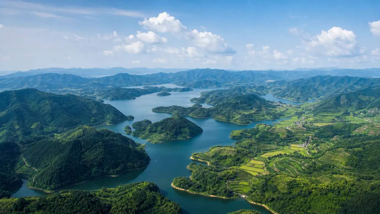
Working from satellite and map data, GenAnywhere applies AI 3D generation to an area outlined on a map and returns an editable site model. Footprints are identified, heights estimated and building types inferred, and the vegetation around them is picked out. Buildings, terrain, water and vegetation stay on separate layers, which is the part that matters for a flood review, because ground, water and buildings can be read one at a time. A building can be replaced or re-scaled to test how a change reads, and the result can be previewed before export.
5.2 What can the scene not tell you?
A GenAnywhere scene cannot say how deep water will be, how fast it will move, or which route it will take in a future event. The geometry is context built from imagery rather than a hydraulic study, and its ground levels are estimated instead of surveyed. Depth, extent and return periods come from flood studies and the authority that holds the records. Place those findings on the site, and keep the calculation in the tools built for it.
A scene can be exported as a general GLB file for use in 3D, GIS and visualization tools. Hand the same file to the drainage engineer and the facilities team so both work from one geometry. Test a single export with the receiving tool before the review meeting, then confirm scale and orientation.
Start a site scene in the GenAnywhere app and mark the routes water takes before the next site meeting.
6 Turn the review into a resilience brief
6.1 What belongs in the brief?
A dated event, the routes water took, the assets that failed and the uses that could not continue. Add the questions nobody could answer, because they become the scope for the next study. Keep it to a few pages a facilities team can use during a closure, with the photographs beside the notes they support.
6.2 Which options need specialist design?
Anything that changes how water moves, holds or drains needs an engineer: storage, diversion, pumping, raised floor levels, barriers at doorways. The site review can show where those measures would sit and what they would interrupt. It cannot size them, and a barrier sketched in a scene is a question rather than a design.
Ask the engineer to work from the same scene, so the measures land on the rooms and routes the review identified. A drawing that ignores the site context tends to solve the water problem somewhere else on the block.
6.3 How should the review be repeated?
Repeat it after any event, after major works on the drainage network, and whenever a new use moves into a ground floor. The layer set stays the same, which keeps the comparison simple: same boundary, new imagery date, new notes. Resilience here is a record that gets updated, and a single signed document will not hold it.
See how a drawn area becomes an exported file in the GenAnywhere workflow overview.
7 FAQ
FAQ-1 Is a generated scene a flood model?
No. It shows buildings, ground, water bodies and vegetation as separate editable layers, so a team can place the findings of a flood study onto the site. It does not calculate depth, velocity or extent, and it should not be used to size drainage or defence works. Where a decision depends on those numbers, commission the study and use the scene to show where the results apply.
FAQ-2 Do we need survey data before starting?
Not for the opening conversation. Satellite and map data are enough to place the site, the buildings and the routes, as long as everyone knows the ground is estimated. Survey becomes necessary when a threshold, a floor level or a wall height decides the outcome. Add the survey to the record when it arrives, and mark which parts of the scene it replaced.
FAQ-3 How do we handle a site that floods from several directions?
Treat each direction as its own section: overland from the street, river or tide, and backing up through drainage. Give each one a map and a list of the assets it reaches. When the sections sit side by side, the ranking of measures often changes, because the shallow overland route is frequently the one that closes access before the building is touched.
FAQ-4 What can a facilities team use from the review?
The routes, the assets, the vulnerable rooms and the places people can wait, written in plain language. Photographs of the entry points help more than a plan on its own. Keep the page short enough to read during a closure, and update it when a tenant changes or a pump is replaced.
Content and technical notes
This article was prepared by the GenAnywhere team with AI-assisted drafting and human review.
Product features, formats, and availability change as the platform evolves; refer to the official GenAnywhere website for current details.
For technical questions or corrections, contact support@genanywhere.com.
Last reviewed: 2026-11-06.