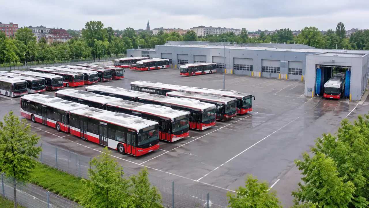
Entertainment district planning: a GenAnywhere early checklist
An entertainment district works on walking distance, service access, and the clock. A generated site model shows the blocks, transit stops, and neighbors, helping a team test venue placement and phasing. Licensing, acoustics, crowd safety, and fire access remain with specialists and current codes. Design the street for the clock.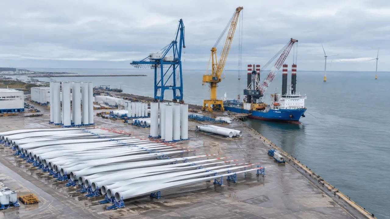
Offshore wind port staging: what planners can test in GenAnywhere
Offshore wind port staging is a space and flow question. A generated site model shows the quay, laydown yard, roads, and neighboring district, so planners can test component layouts and capacity constraints. Marine studies, quay strength, permits, and operating plans remain with the port and its engineers. Start with space.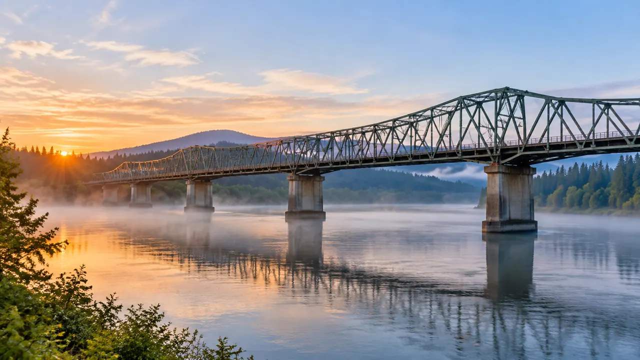
Bridge bid review on I-5: where GenAnywhere helps early
Bridge bid review compares proposals against one river, road, and neighborhood. A generated site model gives reviewers a shared base for staging, access, and nearby buildings, while keeping cost, structural analysis, and construction methods with the technical team. Record the model version and its assumptions. Keep a clean, dated record.
Campus master planning: how terrain shapes an early GenAnywhere test
Campus master planning is shaped by slope, drainage, tree cover, and long views. A generated site model shows the whole campus and its town edge, lets a committee test building volumes, and compares compact growth with edge expansion. Surveys, geotechnical work, and design remain separate commissions. That framing helps early.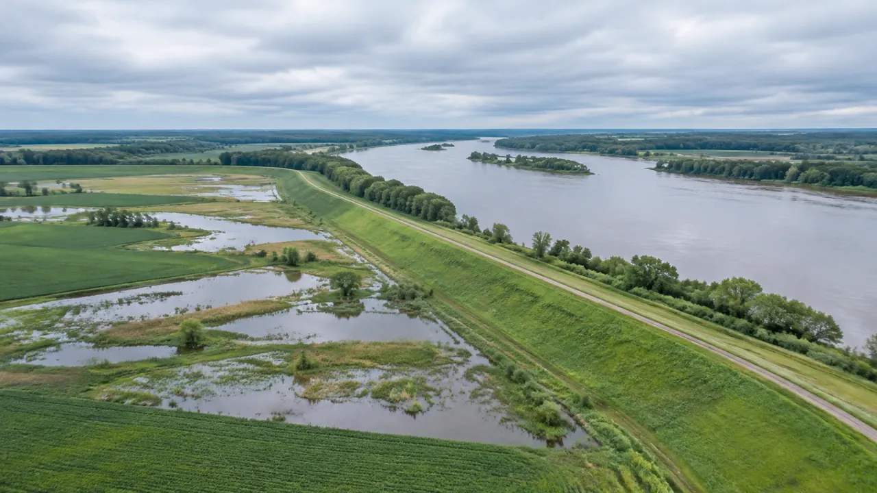
Flood map updates: what a new release can reveal with GenAnywhere
A revised flood map changes official lines, not necessarily the weather. A generated site model shows the buildings, roads, and low ground near a changed boundary, helping owners and staff ask better questions. Elevations, insurance decisions, and map corrections stay with surveyors, agents, and the map program. Ask questions early.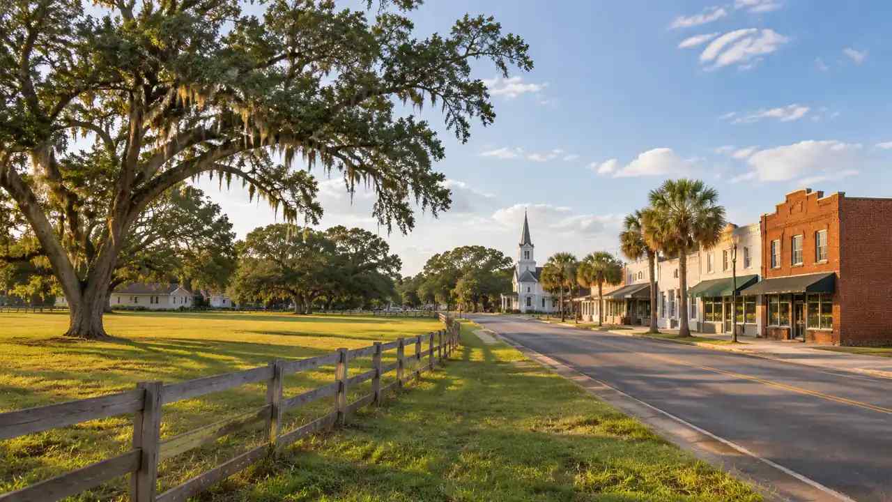
Zoning pause lines: how Dade City can test a boundary with GenAnywhere
A development pause is a boundary question. Staff can map utility service areas, parcel status, and the town edge in a generated site model, then show residents what each line would include. The model supports the workshop; the legal boundary still belongs on a surveyed parcel map. Protect the record.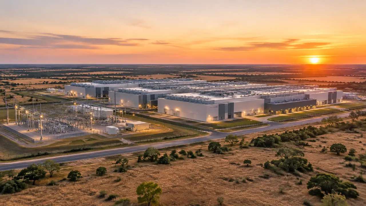
Data center permit review in Texas: where GenAnywhere fits
Texas reviews split into county, state, and utility questions. A generated site model puts terrain, floodplain edges, neighbors, and truck access on one base, which helps applicants and staff discuss the same drawing before a hearing. Legal findings, permits, and engineering studies remain with the responsible offices. It stays context.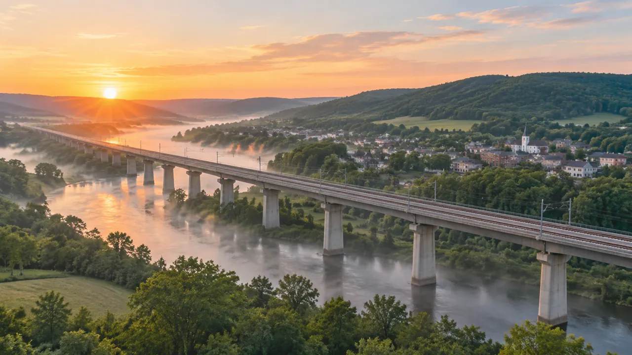
High-speed rail siting: what GenAnywhere can test early
A high-speed rail corridor is a land question before it is an engineering one. A generated site model shows terrain, towns, and buildings along the line, so teams can compare options, spot the questions specialists must answer, and prepare clearer public meetings before formal alignment studies begin. Early context helps.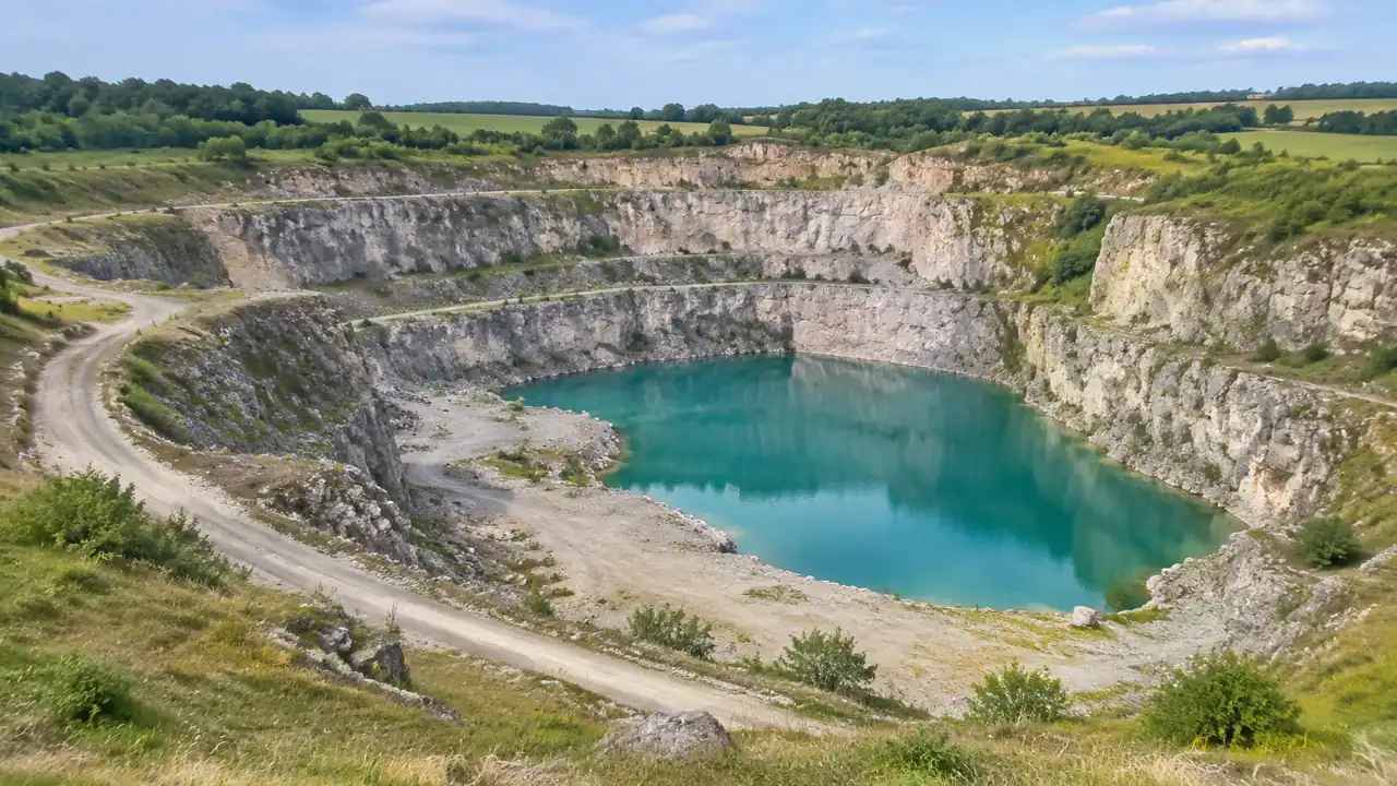
Quarry redevelopment: how should GenAnywhere map terrain?
A quarry is a terrain problem. Map the benches, walls, floor, and water before placing anything, and check where the generated surface smooths. The model supports option comparison across the same ground. Slope stability and groundwater remain engineering questions that need a proper topographic survey and an independent specialist review.