
 No drone survey required
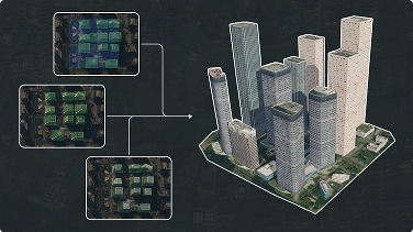
Start faster

Generate a usable 3D site context in seconds instead of spending days on manual blockout and site preparation.
Generate buildings, terrain, water and vegetation from satellite and map data. Preview your site in seconds and export models for Unity, Unreal, Blender, BIM and GIS workflows.
Shapezo gives teams an editable 3D starting point from satellite imagery, so they can move from site research to design and presentation without rebuilding the surrounding world by hand.
Generate a usable 3D site context in seconds instead of spending days on manual blockout and site preparation.
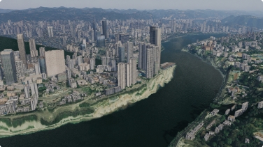
Keep buildings, terrain, water and vegetation as editable layers that you can review, adjust and refine.
Take the model into the 3D, BIM, GIS or game-engine tools your team already uses.
Shapezo gives you a structured 3D starting point, not a locked render. Edit individual buildings, manage each layer and move the result into your existing workflow.
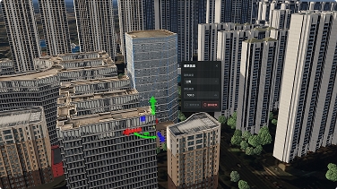
Replace or rotate a building, and make object-level adjustments when the site needs a closer fit.
Review each layer independently while keeping the full site visible.
Move the model into the compatible 3D, BIM, GIS or game-engine tools your team uses.
Shapezo combines automatic site recognition, rapid 3D scene generation and hands-on building edits in one workflow.


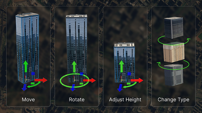
No drone surveys. No manual blockout. Simply select an area, let Shapezo generate the buildings and surrounding site layers, then refine and export.
Choose a location and draw the exact area you want to model.
Let Shapezo build the surrounding site context from map data.
Review the result, toggle layers and fine-tune the model when needed.
Send the model to the compatible 3D, BIM, GIS or game-engine workflow your team uses.
Use Shapezo as the fast world-building layer for 3D, game, BIM, GIS and digital-twin workflows. Supported output formats vary by workflow and integration.


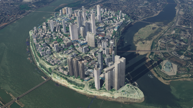
Select an area, generate editable buildings and surrounding site layers, and preview the result in seconds.

 Recognize the site automatically