
Terminal construction staging at O'Hare with GenAnywhere
A site model for phasing decisions around an active terminal, not a construction schedule.
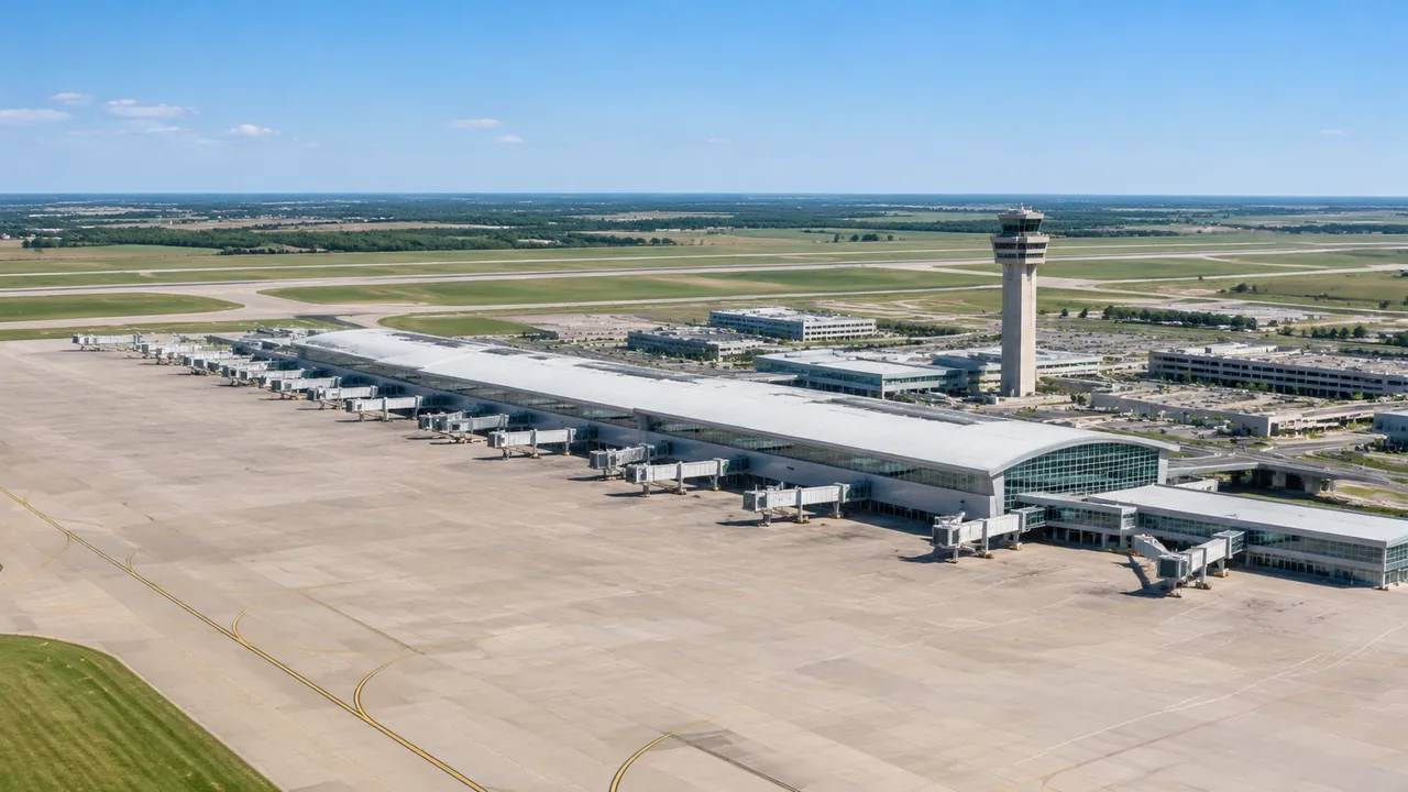
Terminal construction staging at an active airport is a spatial problem before it is a scheduling problem. Laydown areas, crane positions, haul routes, and temporary closures all compete for the same ground while the terminal keeps operating. GenAnywhere can give the team a shared 3D picture of that ground, so phasing options are discussed against the same site instead of separate drawings.
1 What staging a terminal project involves
1.1 Separate the permanent build from temporary space
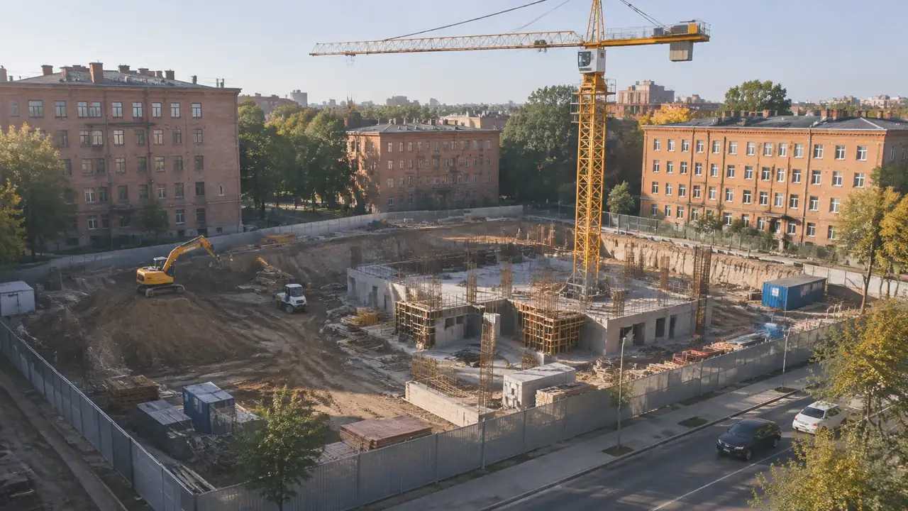
Every terminal project has two footprints: the one that will remain and the one needed to build it. The temporary footprint is easy to underestimate. It includes material storage, contractor parking, equipment yards, and the paths that connect them to the work face.
Mapping both footprints in one scene makes the overlap obvious. A laydown area that looks available in plan may sit under a crane radius or block a service road. Seeing the two uses in three dimensions helps the team spot those conflicts before they become site instructions.
1.2 Map the constraints around an active apron
Airside constraints are not visible in a typical site plan. Aircraft parking positions, taxi lanes, and vehicle service roads define where equipment can go and where it cannot. Add those boundaries to the model and the staging plan starts to reflect the airport as it operates, not as it appears in a drawing.
The apron edge also shifts. A gate that is closed during one phase may be active in the next, and a temporary haul route can cross a taxilane if the airport allows it at certain hours. Representing those changes as separate scenes keeps the sequence honest.
2 Set up the airport context
2.1 Trace the terminal footprint from map data
GenAnywhere generates an editable site model from an area selected on the map. Buildings, terrain, and vegetation arrive as separate layers, and each building can be adjusted or replaced. For an airport site, the terminal and adjacent structures provide the fixed frame that staging options have to respect.
Expect the base model to be approximate. Roof shapes, canopies, and airside structures are simplified, and recent works may not appear. The team should correct the parts that matter for staging: the terminal edge, the service roads, and the open ground between them.
2.2 Add the pieces that shape access
Ground access often decides a phasing plan. Gates, perimeter roads, and the routes that connect landside deliveries to the work area can be represented as simple blocks or paths in the scene. The point is not to model traffic. It is to show where a route crosses a work zone and where a temporary closure would send people.
Once those routes are visible, the team can test small changes without redrawing the plan. Move a gate, close a lane, or shift a delivery yard, then look at what the change does to the rest of the site.
3 Test a phased sequence in the model
3.1 Move the laydown areas between phases
Build phase one as a scene with its storage, equipment, and access in place. Save it, then copy the scene and move the temporary elements for phase two. Keeping the terminal unchanged across versions makes the sequence readable and shows which ground is released and which is claimed.
The copy also preserves the camera and the labels, which matters in a meeting. A reviewer can flip between phases and see the same corner of the site change, rather than hunting for the equivalent location in a new drawing.
3.2 Check heights against nearby structures
Cranes and temporary structures change the vertical picture. A crane that clears one building may conflict with another, and a tall hoist can alter the view from a concourse window. Checking heights in the same scene as the terminal gives the team a way to raise those issues early.
Height checks are coarse at this stage, and that is acceptable. The model is there to prompt a question, not to settle a lift plan. If a concern survives the initial look, the project team takes it to the documents that govern the equipment.
4 Use the model in coordination meetings
4.1 Brief contractors on the same picture
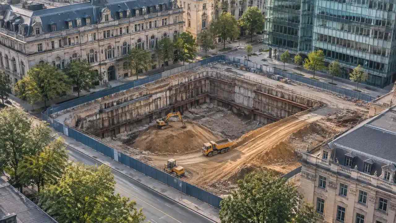
Drawings and schedules leave room for interpretation, especially when several contractors share a site. A single model with the current phase visible reduces that gap. Walk the group through the sequence, then let each trade point to its own area and confirm what it needs.
Contractors tend to raise practical issues once they see the space. Where does the concrete pump stand, how does a delivery reach the work face, and who controls access at shift change. Those questions are easier to answer in front of a scene than in a list of coordinates.
A walkthrough order helps the meeting stay useful. Start at the terminal edge, follow a delivery route to the work face, then return along the passenger side of the building. Following a route rather than jumping between highlights reveals conflicts that a set of disconnected views would miss.
4.2 Capture questions before they reach the field
Most staging problems surface as questions: where does this delivery go, who controls that gate, when does the road reopen. A model session can turn those into a list with locations attached. The list is more useful than a meeting note because each item points to a place on the site.
5 What the model cannot settle
5.1 Airside operations and safety cases
A site model does not approve a construction phasing plan. Operational safety, aircraft movement, and the airport's construction safety requirements sit with the airport operator and the relevant authorities. Guidance such as the FAA advisory circulars on airport construction safety describes the kind of review that applies; the model can inform that review but cannot replace it.
This boundary matters when the team presents to the airport. Show the model as a communication and coordination tool, and keep the safety case in the hands of the people who own it.
5.2 Surveys, utilities, and as-built records
Underground utilities, survey control, and as-built conditions come from records and field work. The generated model is a context layer, not a record of what is buried or built. Any staging decision that depends on a utility location or a structural capacity needs the source document behind it.
The same caution applies to boundaries. Property lines, lease limits, and airport operating areas are legal constructs that a geometric model can represent but cannot verify. Confirm them with the airport's real estate and operations staff before using them to justify a plan.
6 Handoff to design and construction tools
6.1 Keep a single baseline for comparison
Choose one version of the existing condition and treat it as the reference for every phase. When the terminal changes in the real world, update the baseline and note the date. Without that discipline, two phase drawings can look different for reasons that have nothing to do with the staging plan.
6.2 Prepare exports for the design team
When the geometry is settled, export the scene as GLB and bring it into the tools the project already uses, such as Revit, Rhino, Blender, or a game engine. The receiving team decides which elements to keep and which to replace with design models.
The export is a starting point for coordination, not a deliverable on its own. Design teams will add structure, systems, and tolerances that a context model does not contain, and the staging conversation can continue in their environment.
6.3 Record what changed between phases
A short written log next to each phase scene saves time later. List the temporary works added or removed, the access routes affected, and any question still open. Six months into construction, that log is often more valuable than the images.
Keep the log where the team can reach it. A shared document with a date column and a link to the matching scene takes little effort and prevents the familiar argument about which version was presented at which meeting.
To build a staging scene for an airport site, open the GenAnywhere app and start from the terminal footprint. The platform workflow overview covers how a scene moves from map selection to export.
7 FAQ
FAQ-1 Can the model show a crane and its lift radius?
Partially. You can place a simple volume to represent the crane and check how it sits against the terminal, but the model does not calculate lift capacity or operational clearances. Use it to start a conversation about space and height, then confirm the actual envelope with the lift plan and the manufacturer's data. The value is in seeing the conflict early, not in certifying the setup.
FAQ-2 How current is the map data behind the scene?
It reflects the date of the source imagery, which may lag behind recent construction. Treat the initial version as a draft and correct the terminal edge, service roads, and open ground before the staging discussion. Keep a note of the base date and every manual edit. If the project depends on a recent change, request the current drawing from the airport or the design team.
FAQ-3 Can contractors view phases without design software?
Yes. The scene can be opened in a browser and navigated with basic controls, so a site supervisor can look at the phase that affects the next week's work. Editing stays with the person who owns the model, which reduces accidental changes. For teams that need the geometry inside their own tools, the export covers that case separately.
FAQ-4 Does this replace a construction schedule or phasing plan?
No. It is a spatial reference that helps a team discuss where work happens and what ground it occupies. Durations, sequencing logic, and resource loading belong in the schedule. The model adds a check that the plan fits the site and that temporary works do not collide with operations. Bring both to the meeting and keep the roles clear.
Content and technical notes
This article was prepared by the GenAnywhere team with AI-assisted drafting and human review.
Product features, formats, and availability change as the platform evolves; refer to the official GenAnywhere website for current details.
For technical questions or corrections, contact support@genanywhere.com.
Last reviewed: 2026-11-12.