
Settling pond generation: how GenAnywhere builds a site
Generation runs from an area on the map to a previewable scene: terrain, water, vegetation and building masses, with the pond's engineering left to the design model.
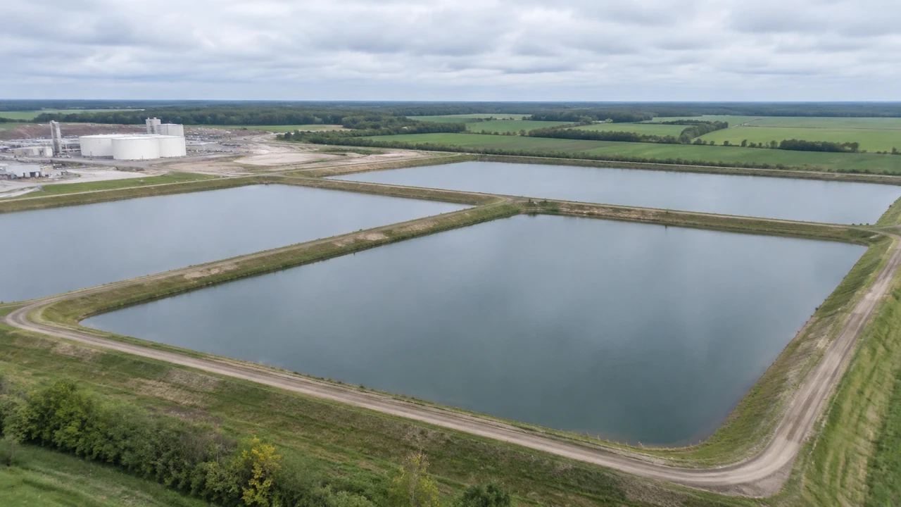
Building a settling pond site in GenAnywhere follows a fixed sequence. You define an area on the map, the platform generates a 3D site from map and satellite data, you review and edit what it produced, then you preview and export. The pond appears as water where the imagery shows water. Its volume, liner, embankments and outlet works are design decisions and do not come from the generator. That order matters when a review starts with the water and forgets the ground.
1 The sequence
1.1 Framing the area
The sequence starts with an area drawn on the map, and that boundary decides how much context the scene can offer. A pond site usually needs the basins, the plant buildings, the access ground and the land between them, plus a margin to show what the site sits beside. Draw the boundary around the features the review will discuss. A boundary drawn tightly around one basin leaves the audience asking what is next to it. A margin of surrounding land costs little and answers the obvious question.
1.2 What the generator returns
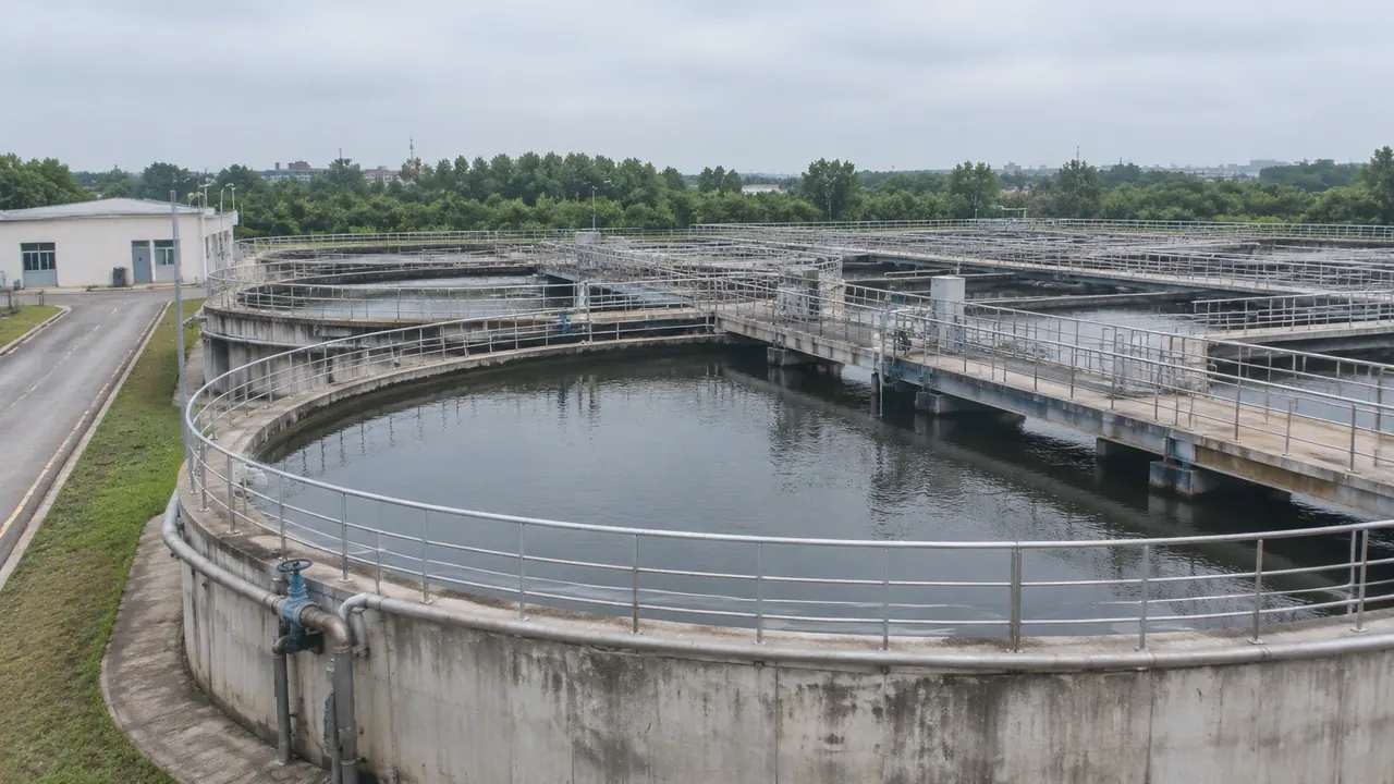
Generation returns terrain, open water, vegetation coverage and building masses, each with the attributes the platform infers from imagery. Buildings get a footprint, an estimated height and a type; water gets a surface that follows the ground it sits in. Vegetation arrives as coverage rather than as individual plants. Nothing in that list is a survey product, and nothing carries the engineering data a pond design needs. It is a site, offered as a starting point. Anyone who needs more should bring the survey and the design rather than a wider scene.
2 Reading the site
2.1 Water surface and basin
The water surface is the feature most pond reviews look at, and the scene shows it as a shape within the terrain. Where the basin was excavated, the ground falls to the water and the edge reads as an embankment or a bank. Where the water sits in flat ground, the edge is a line and little more. Orbiting the scene tells you which case you have, and that difference matters when the audience includes people who have not visited the site. A basin that looks shallow from above can read as deep from the bank.
2.2 Ground, vegetation and plant buildings
The ground between the basins carries as much information as the water. Slopes show where runoff would travel, flat areas show where the site was graded, and vegetation shows the boundary between the works and the fields. Plant buildings arrive as masses, which helps when a review needs to show the pond in relation to the process area. None of this is a drainage study, but it is enough to orient a conversation about where things sit. Keep that limit in mind before anyone points at a slope and calls it a gradient.
3 After generation
3.1 Buildings and site structures
Buildings can be replaced, moved, rotated, re-typed and re-heighted. On a pond site that covers a pump house, a control building, a workshop or a store that has changed since the imagery was captured. Structures such as weirs, outfalls, pipe bridges and access roads are not generated buildings, and they belong in the design model. Keep the two lists separate: what the scene shows as a mass, and what the design team will add. Two columns on one page are enough to keep them straight.
3.2 Layers as a review tool
Terrain, water, vegetation and buildings can be toggled as layers. Hiding vegetation shows the ground around the basins; hiding water shows the terrain shape underneath, which is often the clearest way to explain a basin profile to a non-specialist. Layers are a reading aid and not an edit. Show the state you are using so the audience does not read a hidden layer as a missing feature. The water toggle is the one audiences ask for most, because the basin shape underneath explains the site.
4 Where generation stops
4.1 No volumes, liners or water quality
The scene does not compute storage volume, residence time, settling performance, liner requirements or discharge quality. Those are engineering and environmental questions with their own data, standards and specialists. Remote sensing practice, described by bodies such as the American Society for Photogrammetry and Remote Sensing, is one reference point for how imagery is captured and interpreted, and it is a different discipline from pond design. Keep the boundary clear in every review. A regulator will ask for the study, and the scene should never be offered in its place.
4.2 Imagery date and seasonal water
Water bodies change with the season, with rainfall and with the operating state of a plant. A basin drawn full may be drawn empty in reality, and a pond that looks permanent may be a temporary lagoon. Check the imagery date and ask the site team what the water was doing that week. A scene that captures a dry period is still useful, as long as nobody presents it as the normal condition. Ask the site team before the meeting rather than during it.
5 From scene to design model
5.1 Preview and export
Preview before export, and walk the site from the ground as well as from above. The ground view is where an embankment becomes a slope and a basin becomes a place. When the scene is right, export a GLB and open it in the receiving tool. The platform overview describes what the generated scene holds, which is the paragraph to send when a new team asks where the pond design is. Forwarding that link costs less than repeating the explanation in every call.
5.2 The handover note
The note should say what the file contains, the imagery date, the buildings you changed and the engineering work that is not there. A pond review usually involves an engineer, an operator and a regulator, and each of them will look for something different. Saying what is missing saves each of them a question. It also keeps the scene from being judged as a design submission. The note is the place to say which condition the imagery captured.
Open the GenAnywhere app and build a pond site
6 Before you generate
6.1 What the site needs to show
Decide whether the review is about the pond in its setting, the pond in relation to the plant, or the ground between the two. Each answer changes the boundary and the camera height. A regulator may want the wider setting and the receiving water; an operator may want the basin and the pump house. Generate the extent that matches the audience, and do not try to serve both with one scene. Two audiences, two scenes, and a short line in each note explaining which is which.
6.2 The asset list
List the elements the file will not contain: embankment profiles, liners, weirs, outfalls, pipework, access roads and monitoring points. Name where each comes from. That list is the practical difference between a scene that supports a design review and a scene that invites the wrong questions. It takes a few minutes and it travels with the file. Update it when the design adds something the scene never had.
6.3 Next step
Name the decision the scene supports and who makes it. A site selection, an environmental review and an operating discussion all use the same water in different ways. If the next step is a design review, the design team needs the export early. If it is a stakeholder session, the scene needs more surrounding land and fewer technical labels. Write the decision on the file note, and the next review starts in the right place.
7 FAQ
FAQ-1 Does GenAnywhere generate the pond itself?
The water surface is generated where the source imagery shows water, so an existing basin appears in the scene. A new pond is a design object and does not. If the review concerns a proposed basin, the shape comes from the design model and is placed on the generated ground. The scene supplies the setting, and the design supplies the pond. That split is the fact to state before any image appears.
FAQ-2 Can I size a pond in the scene?
No. The scene has no volume calculation, no storage curve and no operating rules. Sizing depends on inflow, settling requirements and discharge limits, and it is done in engineering tools with site data. Use the scene to show where the pond sits and how it relates to the plant, and keep the numbers in the design report. Sizing work needs inflow records and a settling basis, and neither is a scene attribute.
FAQ-3 What about embankments and outfalls?
Embankments appear as terrain where the imagery shows a raised edge, and outfalls usually do not appear at all. Both are designed structures with profiles, materials and hydraulic purposes. They belong in the design model, placed on the exported site. A scene that shows a bank is showing ground shape, not an engineered embankment. If the review turns on the embankment, bring the drawing.
FAQ-4 Can I show a basin that is normally empty?
As far as the imagery allows. If the capture shows water, the scene shows water; there is no control to drain it. For a dry basin condition, the design model and a terrain surface are a better route than the generated scene. Say which condition the image represents whenever the scene is shown. A dry condition is an operations question, not a display setting.
See how a generated pond site moves into a GLB workflow
Content and technical notes
This article was prepared by the GenAnywhere team with AI-assisted drafting and human review.
Product features, formats, and availability change as the platform evolves; refer to the official GenAnywhere website for current details.
For technical questions or corrections, contact support@genanywhere.com.
Last reviewed: 2026-11-13.