
Sacramento flood works: what should a levee review show, GenAnywhere?
How to review a levee corridor as a working system, not a single line on a map.
A levee review has to show more than a crest line. The corridor includes the landward access, the waterside vegetation, the crossings, and the neighborhoods that depend on the system. GenAnywhere can assemble that context into an editable 3D scene, so a review team sees the whole working edge before it debates details. The model supports the conversation; the engineering and permitting work still belong to the specialists.
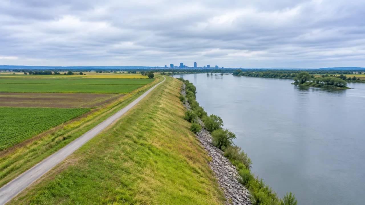
1 What a levee review should make visible
A levee is a long, narrow asset with many neighbors. Its performance depends on continuity, access, and the condition of the land on both sides. A review that looks at one reach at a time can miss the places where those conditions change. The corridor view exists to catch those transitions.
1.1 Trace the alignment across ownership
Follow the alignment from one end to the other and mark every change of owner or jurisdiction. Each change is a potential gap in maintenance, access, or records. Put those boundaries on the model and name the responsible party. Keep the ownership map with the model and update it when a parcel changes hands. A stale map can send a maintenance crew to the wrong gate. The update is small, but it protects the credibility of the whole review.
1.2 Read the land on both sides
The waterside and the landside carry different risks. Look for roads, rail, utilities, and buildings that sit close to the slope. Note where a new development has narrowed the maintenance bench. Look beyond the adjacent parcels. The land uses that depend on the levee matter too.
A road, a rail line, or a utility corridor may rely on the same access. The review should show those dependencies before it proposes a change.
2 The river edge is a working corridor
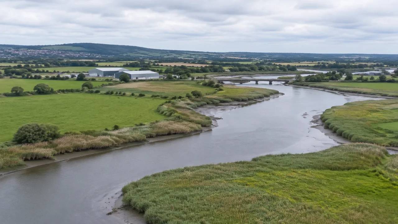
The river edge is a working route for maintenance crews, equipment, and inspections. It is also a place where vegetation, wildlife, and public access compete for space. Treating it as a corridor makes those conflicts easier to discuss.
2.1 Map access for maintenance
Mark every gate, ramp, and turning area along the levee. Check whether a maintenance truck can reach each segment without crossing private land. Note the segments that depend on a single access point. Time the access review for the season when the route is hardest to use. Wet ground and dense vegetation can close a path that looks open on a map. Record the seasonal constraint and share it with the maintenance team.
2.2 Note vegetation and encroachments
Trees and brush affect inspection and can hide defects. Structures, fences, and storage yards can reduce the working width. Photograph the encroachments from a fixed point and repeat the view each year. The comparison shows whether a problem is growing.
It also gives the operator evidence when a conversation with a landowner is needed. U.S. Army Corps of Engineers guidance on levee safety is a useful reference for framing the inventory.
3 Where a site model fits
A site model helps a review team see the corridor as a whole. It does not analyze seepage, stability, or flood levels. It does show the geometry, the access, and the surrounding development that those analyses must account for. That distinction keeps the review honest.
3.1 Build terrain and water context from map data
Select the corridor and a band on each side, then generate the scene. GenAnywhere produces terrain, water, buildings, and vegetation as separate layers. A planner can trace the levee against the ground, replace a nearby building, or adjust a test mass to study the view from a neighborhood street. The scene gives the review a common base without a drone flight or a new topographical contract. Keep the source layer separate from the design layer so the review can tell what is mapped and what is proposed. A clean separation prevents a test mass from being mistaken for an existing building.
3.2 Compare alternatives at one scale
When the team studies a setback, a ramp change, or a new maintenance road, keep the same camera and scale for each option. Reviewers can then judge the trade-off rather than the drawing style. Write down the land that each option would need, and mark it beside the view. A footprint that looks compact may require a temporary easement that the team has not discussed. The note keeps the visual comparison tied to the real constraints.
4 Questions for the public workshop
A levee workshop can turn technical detail into public anxiety if the framing is poor. Start with what the corridor does today and what the review is trying to protect. Show the limits of the model before showing its views.
4.1 Separate facts from assumptions
Label what is measured, what is mapped, and what is still unknown. Residents may know about drainage problems that the record missed. Give them a way to add those observations to the map. Record local observations in the same frame as the model view. A resident's comment about a wet yard is easier to use when it can be placed on the map. Follow up on the items that can be checked, and say when a claim cannot be confirmed.
4.2 Explain what the view leaves out
A model view does not show water pressure, soil layers, or the probability of a future event. Say so in plain language. Explain that the scene is a spatial aid and that the engineering studies will determine the actual design. This honesty protects the process and keeps the public focused on the right questions.
5 Handing off to engineers
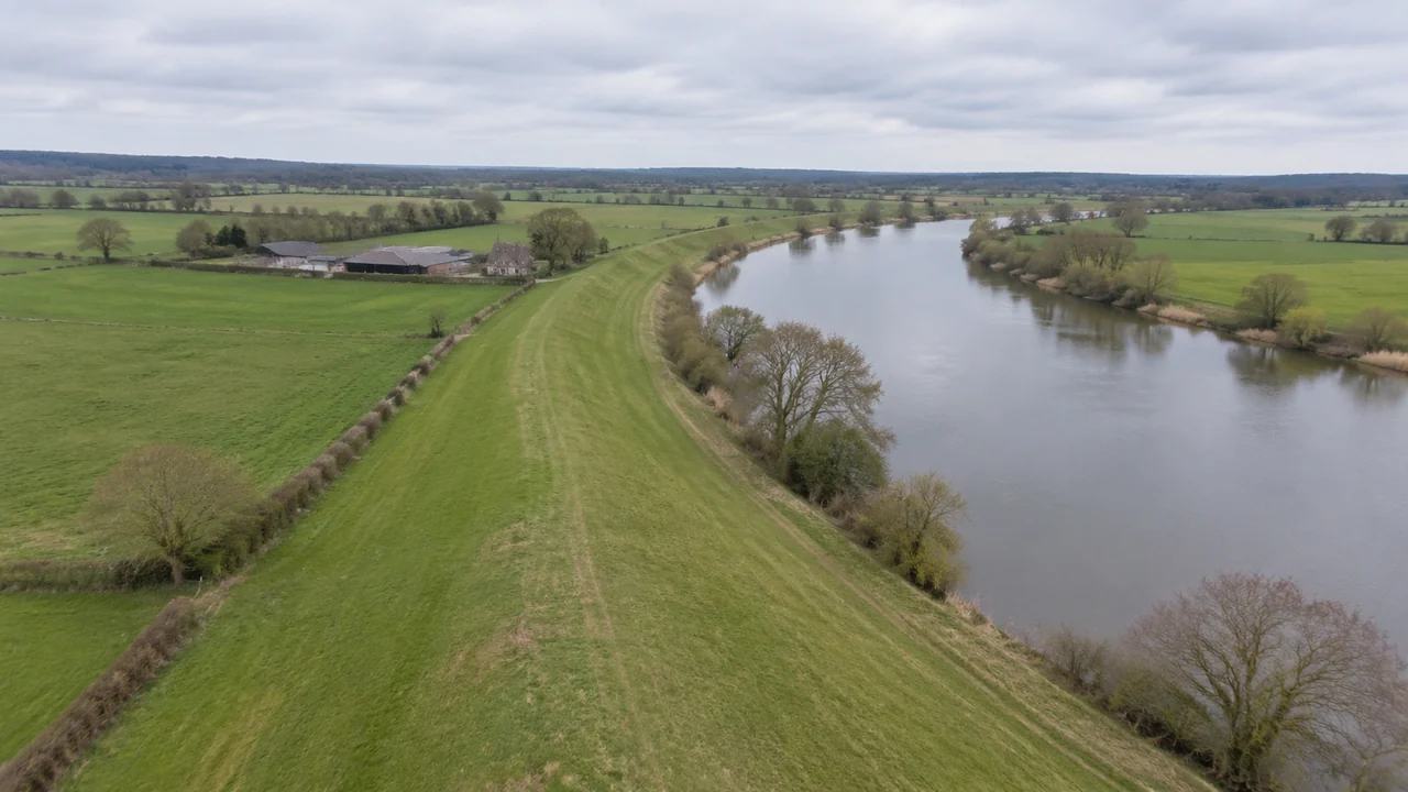
The review team's output should be a clean brief for the engineers, not a competing analysis. That means a clear corridor scene, a list of open questions, and a record of public comments. The handover is successful when the next team can pick it up without a briefing call.
5.1 Export the corridor scene
Name the layers, remove test variants, and keep the camera sequence used in the workshop. GenAnywhere can export the scene as GLB for common 3D, BIM, GIS, and game-engine workflows. The engineering team can then place its own survey and hydraulic work against the same geometry. Ask the engineering team to confirm the coordinate and format needs before the export. A scene that arrives in the wrong frame can cost a week of repair. The check is quick and belongs in the handover checklist.
5.2 Keep review comments with the model
Store each comment with the location it refers to. A comment without a location is hard to resolve later. Use the model's view to anchor the note, and keep a short summary for readers who do not open the scene. The record should show which comments changed the brief and which were deferred.
6 How to run a disciplined review
A levee corridor invites strong opinions because it touches homes and businesses. A disciplined review keeps those opinions in a process that can be followed. GenAnywhere can support the visual part of that process and leave the technical conclusions to the right experts. Open the app when the corridor boundary is ready, and follow the workflow for a repeatable review sequence.
6.1 Start with the corridor, not the render
Begin with the alignment, the access, and the neighbors. A beautiful render of one reach can distract from a gap three miles away. The corridor view sets the priorities before any detail work begins. Keep a short list of corridor-wide issues beside the reach-by-reach notes. The list catches the problems that appear in more than one place. It also gives the review a way to set priorities.
6.2 Reuse the same frame each time
Return to the same stations and camera angles at every review. Consistency lets the team see change and compare options. It also makes the record easier to audit. New views are useful, but they should supplement the fixed sequence rather than replace it.
6.3 Keep the model in its lane
The model is a coordination aid. It does not certify a levee, predict flooding, or replace a geotechnical study. State that in every meeting and in the handover note. A team that respects the boundary earns more trust from engineers and residents alike.
7 FAQ
FAQ-1 Can the model show which areas would flood?
No. Flood behavior depends on hydrology, hydraulics, and the condition of the system, which are separate engineering studies. The model shows terrain, water, and surrounding development as context. Use it to frame questions for the engineers and to show where the corridor meets the community. Do not present a visual scene as a flood prediction.
FAQ-2 How much of the corridor should be included?
Include the full alignment plus a band wide enough to show access roads and nearby buildings. The landside band should reach the nearest row of properties that depend on the levee. The waterside band should show the bank and the immediate channel. Record the boundary so later reviews use the same frame.
FAQ-3 Is a drone flight required to start?
Not for the initial context. GenAnywhere builds the scene from satellite and map data for the selected area. That is enough to organize a review and compare options. If a later phase needs newer or more detailed source data, the project should obtain it through its normal procurement and confirm the license.
FAQ-4 What should residents see at a workshop?
A simple corridor view, a clear statement of what is known, and a list of questions still open. Show the access points and the places where the levee meets neighborhoods. Invite residents to mark local drainage problems. Avoid presenting the model as a final design or as a safety determination.
Content and technical notes
This article was prepared by the GenAnywhere team with AI-assisted drafting and human review.
Product features, formats, and availability change as the platform evolves; refer to the official GenAnywhere website for current details.
For technical questions or corrections, contact support@genanywhere.com.
Last reviewed: 2026-11-19.