
Bus rapid transit lessons from LA G Line: a GenAnywhere review
What a dedicated busway teaches a corridor team about blocks, stations, and access
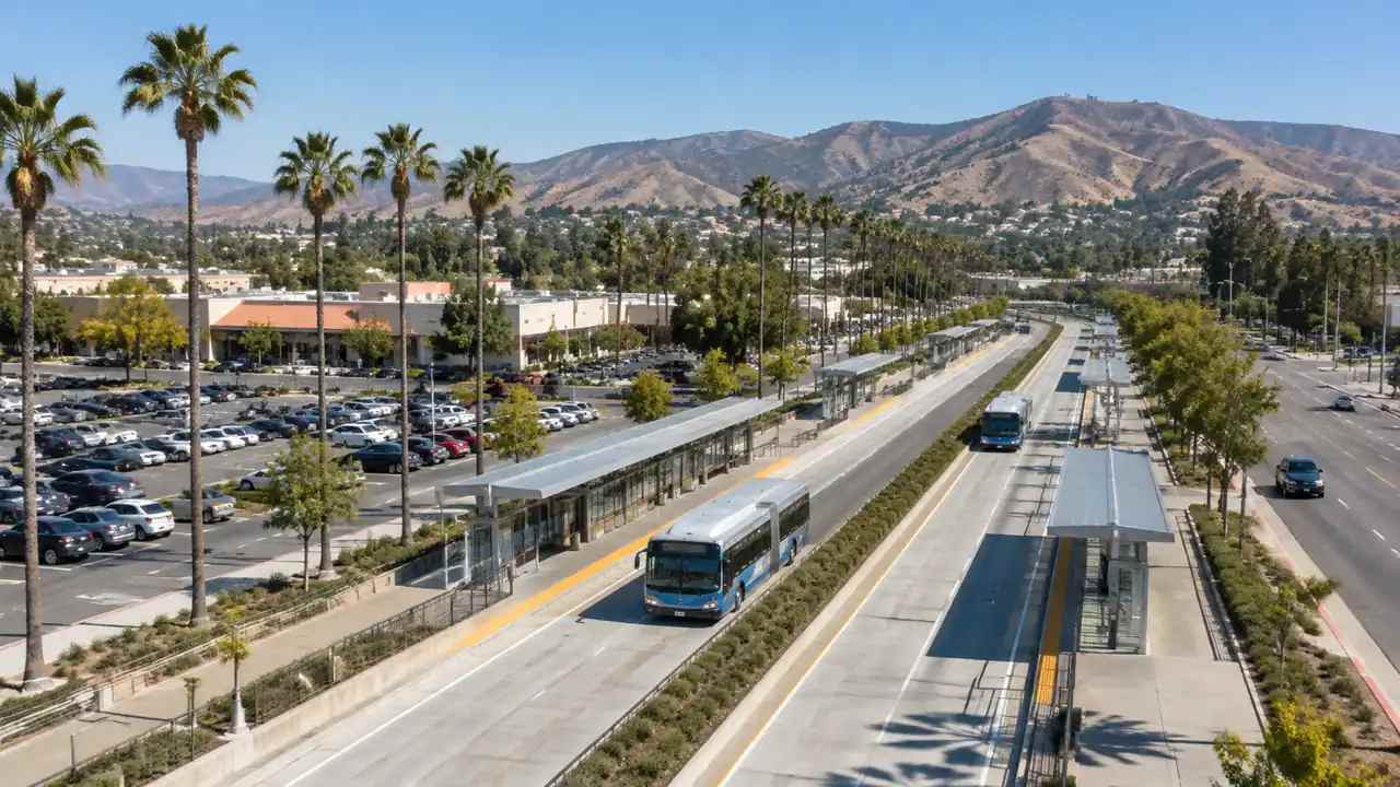
The G Line in the San Fernando Valley is a useful teacher because it runs on its own busway rather than in mixed traffic. That single fact changes everything around it: the stations sit behind commercial parcels, the crossings are few, and the walkshed depends on where people can actually get across. A corridor team studying a new bus rapid transit line can learn more from those details than from a speed chart.
1 What the G Line shows about station context
A dedicated busway separates the bus from traffic, and the separation has consequences above ground. Parcels that once faced a street now face a corridor, and the station becomes the address that matters. Reading those consequences is the opening step in any corridor review.
1.1 Dedicated lanes change the block
When a bus runs in its own lane, the block beside it loses a traffic lane and gains a barrier. Driveways that used to connect to the street may now connect to nothing, and parking lots that faced the road may turn their backs. The review should map those changes parcel by parcel. A corridor that looks like a line on a regional map is a series of small access decisions on the ground, and each one affects a property owner.
1.2 Station spacing sets the walkshed
Station spacing decides how far a rider will walk, and the walking route decides whether the station is usable. A stop placed every half mile produces a different walkshed than one placed every mile, and the difference shows up in parking demand and in the number of riders who drive to the station. Walk the route from the platform to the nearest crosswalk before drawing the walkshed circle. The circle is a claim, and the walk is the evidence. Photograph the route at the pace a rider would walk it, because a photo taken from a car hides the curb cuts and the fence gaps.
2 Reading a corridor before a BRT upgrade
Before a corridor team draws a station, it should read the street as it works today. Traffic, driveways, and crossings set the constraints that a new lane and platform will have to respect.
2.1 Measure the intersections, not the miles
Corridor length is a poor measure of difficulty. A ten-mile corridor with four complex intersections can be harder than a fifteen-mile corridor with simple ones. Count the signalized intersections, the turn lanes, and the pedestrian crossings, then rank them by complexity. The rank tells the team where the design effort belongs and where the public meeting will be hardest, so the schedule can put the hardest block early rather than late.
2.2 Count the driveways that cross the lane
A dedicated lane has to pass every driveway that crosses it. Each driveway is a potential conflict, and each one needs a decision: close it, consolidate it, or allow a crossing. Count them before the alignment is fixed. A corridor with forty driveways on one side will need a different design than a corridor with four, and the difference is visible to residents who use those driveways every day.
3 Comparing station designs on a real block
Station design is where a corridor review becomes concrete. Two layouts can serve the same stop and produce very different experiences for riders and neighbors.
3.1 Two platform layouts, one corner
Test a side platform and a center platform on the same corner. The side platform may take sidewalk space; the center platform may take a traffic lane. Neither is free. Draw both inside the same block context, with the buildings, trees, and crossings in place. The drawing shows what each layout costs in space, and the cost is what the neighborhood will negotiate over.
3.2 The crossing that decides the design
Most station designs are settled by one crossing. If riders must cross a wide arterial to reach the platform, the station needs a signal, a refuge, or a grade separation. Find that crossing early and test the options in section and in plan. A station that works on paper but requires an unsafe crossing will fail review, and the failure usually surfaces late unless the review looks for it.
4 Where BRT meets land use
A bus rapid transit line is also a land-use project. Stations change which parcels are attractive, and the change begins before the line opens.
4.1 Parking, frontage, and access
Stations generate short parking demand and long walking demand. Parcels with frontage near the platform can support active uses, while parcels behind a parking lot struggle to connect. Map the frontage conditions around each station and note where a parking lot blocks the walk. Those blocks are candidates for redevelopment, and the corridor plan should say so without promising a timeline it cannot control. A short map of frontage conditions is enough to start the conversation with property owners.
4.2 The parcels that move early
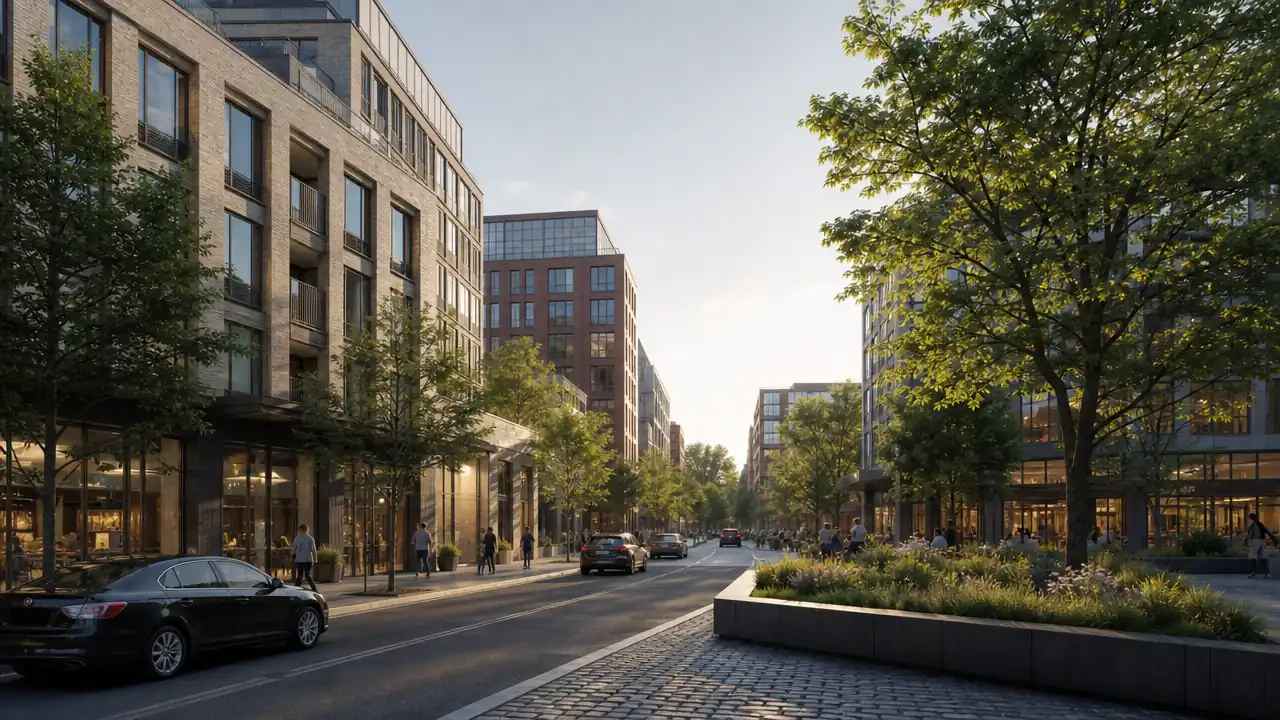
The parcels that move early are usually the ones with a single owner, a shallow building, and direct access to the platform. Identify them and show them in context. This is where a 3D site model helps. GenAnywhere builds a site from map and satellite data, with buildings, terrain, and vegetation as separate layers, so a corridor team can show a station block as it is and test a redevelopment option inside the same scene.
5 A 3D site model in a corridor review
A site model is a communication tool as much as an analysis tool. In a corridor review, it lets a team show a block to people who will never visit the site during construction.
5.1 What GenAnywhere generates
GenAnywhere produces an editable 3D site model from a map selection. It recognizes building footprints, estimates heights, infers building types, and reads surrounding vegetation. Buildings, terrain, water, and vegetation are separate layers for preview and editing. A building can be replaced, moved, or rotated, and its height and type adjusted. The scene exports as a GLB file for downstream 3D, BIM, GIS, or game engine work under a perpetual commercial license.
5.2 Limits worth stating
The model does not simulate bus travel, ridership, or traffic. It does not know the station design or the service plan, and its heights and footprints are estimates from imagery. Terrain is generalized. State those limits before the review begins, because a corridor conversation can drift into operations questions that a site model cannot answer. The model shows the block, and the service plan belongs to the transit agency, which keeps the review focused on the decisions the city can influence.
6 A short review sequence for a corridor team
A corridor review can run for years, and the sequence below keeps the early work focused on decisions that matter.
6.1 Pick three blocks
Choose three blocks that represent the corridor: one at a major intersection, one at a station near a shopping center, and one at a station with low-density surroundings. Study them in detail. Three blocks tell a corridor team more than a citywide map, because the details repeat and the exceptions become visible.
6.2 Show the tradeoff
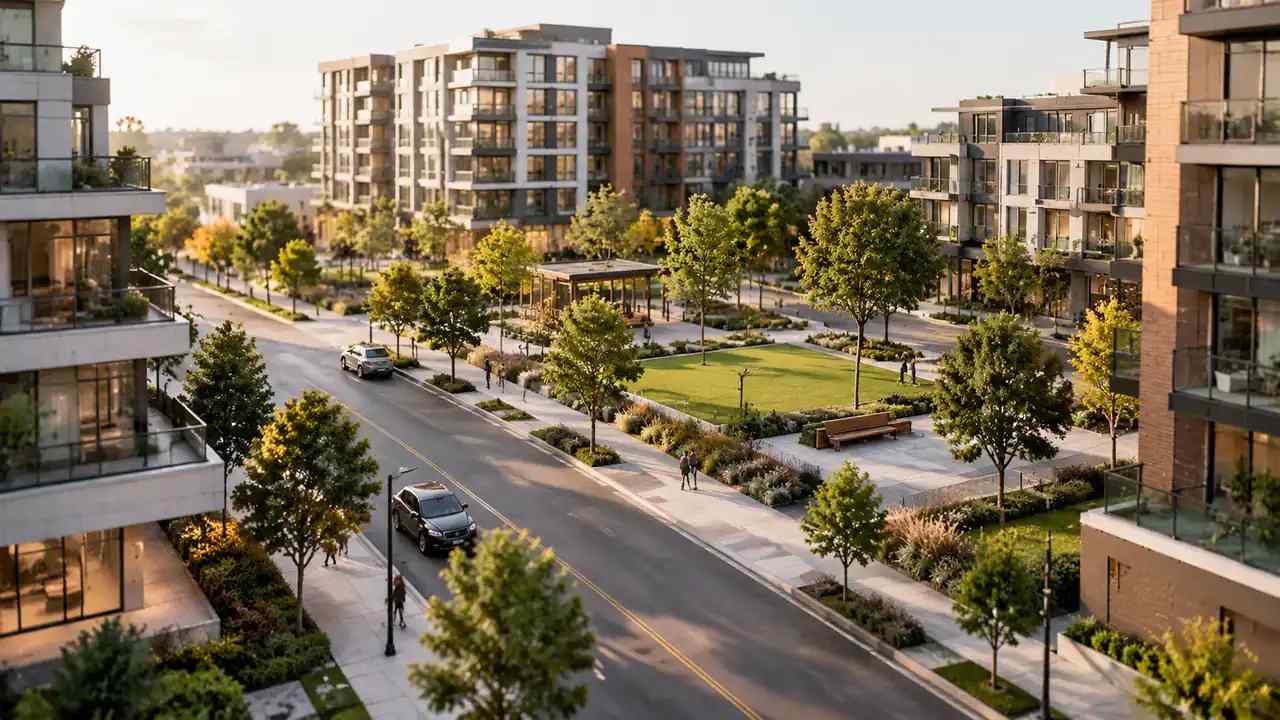
Each block should produce one tradeoff, stated plainly: a lane for a platform, a parking row for a sidewalk, a driveway consolidation for a station entrance. Show the tradeoff in plan and in section. A tradeoff that is visible can be negotiated. A tradeoff that is buried in a technical appendix becomes a surprise at the public meeting, and surprises cost more than the tradeoff itself.
6.3 Hand off with a list
End the early review with a list: the blocks studied, the tradeoffs found, the questions open, and the owner for each question. The list becomes the agenda for the next phase. It also protects the team, because it shows what was known and what was not when the corridor decisions were made.
To test a station block in context, open the GenAnywhere app and select the area. The workflow overview shows how the scene is built and exported.
7 FAQ
FAQ-1 What can a corridor team learn from the G Line?
It shows how a dedicated busway reshapes the blocks beside it. Stations sit behind parcels, crossings are limited, and access depends on a few key intersections. A team studying a new line can learn to count driveways, measure crossings, and read frontage before drawing a station. The G Line also shows that a corridor is a land-use project as much as a transit project.
FAQ-2 Can GenAnywhere model bus travel times or ridership?
No. GenAnywhere builds a site model from map and satellite data. Travel times, ridership, and service planning come from the transit agency's models and from field observation. The site model contributes context: the block around a station, the crossing a rider must use, and the parcels that face the platform. Keep the operations analysis separate and cite it in the review.
FAQ-3 What should a BRT corridor review include?
It should include intersection complexity, driveway counts, station spacing, and the walking route from each platform. Add the frontage conditions and the parcels that could change. The review should also state which decisions belong to the transit agency and which belong to the city. That division keeps the conversation honest, especially when a station design affects a sidewalk or a parking lane.
FAQ-4 How do stations affect nearby land use?
Stations raise the value of access, and access is worth more on parcels that can connect to the platform without crossing a parking lot. Over time, those parcels tend to redevelop early. The effect is not automatic, and it depends on zoning, ownership, and the quality of the walking route. The BRT Standard maintained by the Institute for Transportation and Development Policy offers one framework for judging those conditions.
Content and technical notes
This article was prepared by the GenAnywhere team with AI-assisted drafting and human review.
Product features, formats, and availability change as the platform evolves; refer to the official GenAnywhere website for current details.
For technical questions or corrections, contact support@genanywhere.com.
Last reviewed: 2026-11-17.