
Vessel models: which project types fit GenAnywhere
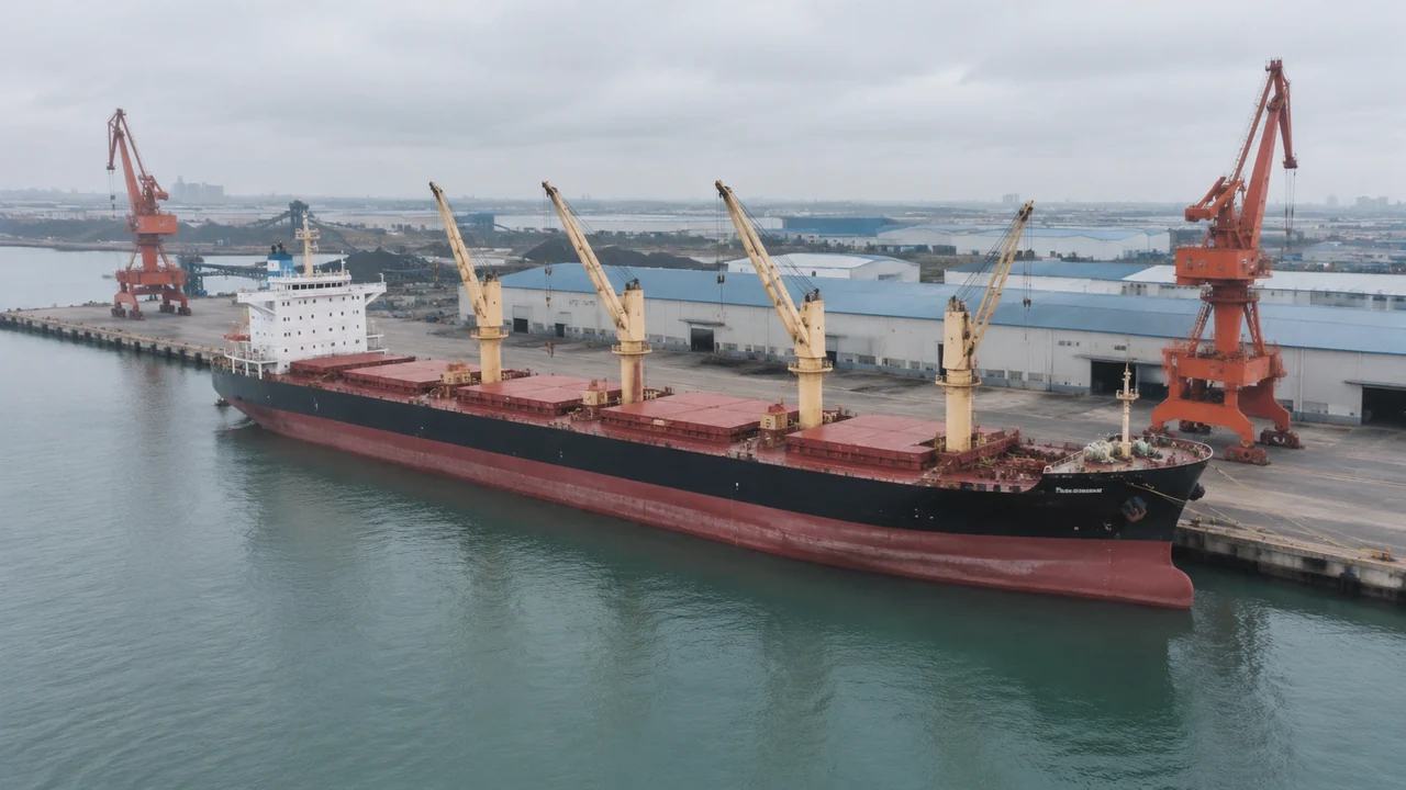
Ships are placed assets here, so the projects that fit are the ones where the berth, the yard and the approach carry the question.
Ship projects fit GenAnywhere when the decision on the table is about land: a berth, a terminal, the quay edge, the road behind it. The platform does not generate hulls, superstructures or cargo gear, and the documented output makes no claim to. That single boundary sorts a project list quickly, because a study that needs a ship's particulars at the centre of the argument belongs in a naval architecture tool instead.
1 A fit test you can apply quickly
1.1 Where the uncertainty actually sits
The useful test is where the doubt lives. If nobody can agree how a new berth meets the shed line, the gate or the access road, a generated site does the work. If the argument is about under-keel allowance, squat or tug power, the site is the wrong instrument and a marine study is the right one. Most briefs mix the two, so separate them before the session rather than in the middle of it. Two columns on one page, land questions on the left and marine questions on the right, will show which review you are actually holding.
1.2 How much ship the answer needs
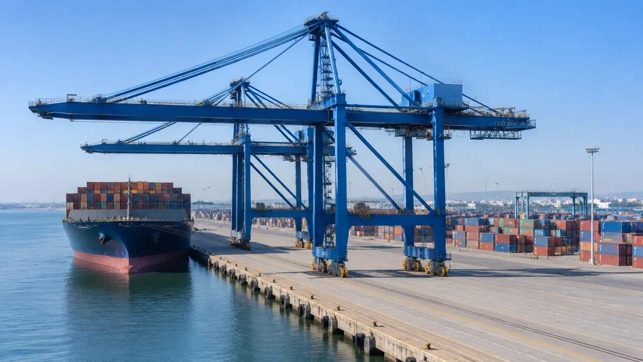
A block hull at the right length and beam is often enough, and a detailed one can pull the room off course. What people read from a berth view is occupancy: how much quay length a ship takes, where a ramp lands, how a crane rail lines up with a hatch. Get those relationships right and hull detail stops mattering. Spend the preparation time on the berth and the yard instead. Agree the level of detail with the marine team in advance, so the hull does not become the thing the meeting argues about.
2 Berth and quay projects
2.1 Berth reconfiguration and new frontage
Adding a berth, lengthening a quay or moving a transit shed changes how ships, cranes and trucks meet. A generated scene shows the existing frontage, the sheds behind it and the water in front, which is the frame any change has to fit. Building volumes can be moved and resized, so two berth layouts can be compared in one sitting. This is where a site-only scene proves itself immediately, because the land is the variable. Keep the water in those views as well, since a berth without water reads as an extension of the yard.
2.2 RoRo and ferry terminals
RoRo work turns on ramps, marshalling areas and the road beyond the gate, and those are land questions. A ferry berth with its linkspan and queue lanes reads clearly from above, and a scene built from map data gives that view without a site visit. A vessel placed at the berth shows whether a longer ship still clears the apron. Keep ramp geometry with the marine designer, and use the scene for the space it occupies. Check the queue depth against the road behind the gate, since that is where a longer ship turns into a longer queue.
3 Passenger and small craft work
3.1 Cruise and passenger berths
Passenger projects care about the walk from ship to terminal, and that distance is visible in a scene even with a simple hull in place. Terminal buildings, car parks and the road network come from map footprints, so a circulation argument can start from the layout rather than from a diagram. The platform does not model passenger movement, and a discussion about where a second gangway would land rarely needs it. Terminal footprints take a minute to correct and bring the walk distances in the picture closer to the ones people know from the site.
3.2 Fishing harbours, boatyards and inland quays
Smaller harbours are often the easiest fit, because the whole site holds in one view. Quay walls, sheds, ice plants and the channel mouth sit together, and a few representative hulls restore the scale that photographs lose. Inland quays work the same way with barges in place of coasters. These projects seldom need vessel detail and seldom carry a survey budget, which makes a map-based scene a practical opening move. Aerial capture also shows the mud berths and slipways that a plan drawing tends to simplify away.
4 Where the hulls come from
4.1 Libraries and designer files
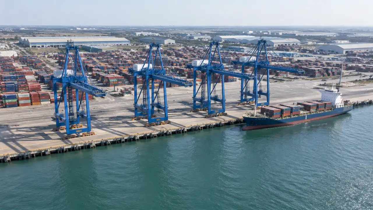
Vessels arrive as assets: a library model, a designer's file or a labelled block. The platform does not infer a ship from imagery and does not generate one from a footprint. That is normal for context work and it keeps files small. Ask the marine team which class they want to discuss, place one or two, and resist populating the whole quay with a fleet that will never berth there. If a class is missing, say so in the caption rather than substituting a hull of a different size.
4.2 Placing a hull without overclaiming
Once a hull is in the scene it looks authoritative, which is the risk. Label vessel geometry as reference in the caption, keep it at the size and heading the design gives, and do not rescale it to improve a picture. A ship stretched to fill a berth makes a poor layout look workable, and that image will outlive the meeting. One correctly sized hull says more than four approximate ones. The caption is the cheapest place to keep that honest, and the handover note is the second.
5 Where the fit breaks
5.1 Manoeuvring, mooring and channel design
No amount of scene detail answers a manoeuvring question. Turning circles, tug assistance, mooring loads and channel width depend on hydrodynamics, vessel particulars and operator practice, and the platform holds none of them. It also does not generate dredged channels, navigation marks or breakwater design. Where a project turns on those, the site can set the context for a meeting about them and should stop there. PIANC publishes the technical guidance that work follows. The scene can still show where a channel mouth sits relative to the berth, which helps a non-specialist follow the study.
5.2 Internal arrangement and retrofit studies
A retrofit inside a hull, a hold survey or a stability check has no use for a site model. Neither does a yard layout that depends on block assembly sequence. These are vessel-side problems, and putting them into a geographic scene adds a coordinate system without adding information. Recognising that early protects the platform from being asked for something it was never meant to produce, and it protects the review from a week of waiting. A hold survey photograph and a berth layout answer different questions, and merging them into one file helps nobody.
6 Setting up and handing on
6.1 Choosing the extent
Frame the water, the berth and the land behind it, then stop before the scene becomes a coastline. One terminal with its approach is usually right, since a whole estuary loses the quay detail that made the review worth holding. Where two options sit far apart, generate two scenes rather than stretching one until both are unreadable. Record the extent in the note so a later meeting can rebuild it. Two scenes also let each option keep its own camera position, which makes a fair comparison possible months later.
6.2 What the export carries
The GLB carries terrain, water, vegetation, buildings and the edits made before export. It does not carry vessel assets, fender schedules, berth data or mooring information, and layers are a preview feature rather than a file format. Teams open it in 3D, BIM, GIS and engine workflows and add marine content there. Test it in the tool that will open it before a meeting depends on it. The platform overview sets out the content behind each layer. Anyone opening the file will see a site without ships, so the note should say why they are absent.
6.3 Who supplies the ships
Name the person who will place the vessels before the opening review, because it is rarely the person who built the scene. Sometimes the marine designer supplies a class model; sometimes a block is enough for a planning panel. Whoever takes it on, agree the size convention and the heading convention in the same conversation. Two teams working from different conventions will place the same ship at two lengths, and the comparison collapses. Write the convention in one line and keep it where both teams can see it.
7 FAQ
FAQ-1 Does GenAnywhere generate vessels?
No. Hulls, superstructures and cargo gear are assets that come from a library or a designer's file. The platform generates the site a vessel would use: water, quay line, terrain, buildings and vegetation. Teams place vessel geometry in the same environment or in the receiving tool after export. Treat the ship as a scale reference and the scene as the ground it berths against. A one-line caption does that job better than a slide of disclaimers.
FAQ-2 Which vessel project types suit the platform?
Those where the question is about land: frontage, sheds, yards, access roads and the water directly in front. Ferry and RoRo terminals fit well because ramps and marshalling areas are land-side. Small harbours fit because the whole site holds in one view. Manoeuvring and channel studies do not fit, and they should start from marine data rather than from a scene. Ask which decision the meeting has to close, then judge whether that decision is about ground or about water.
FAQ-3 Can I show a specific ship class?
Yes, if you hold geometry for it. Ask the marine team for a model or build a labelled block at the published length and beam, then place it at the berth. The platform will not produce the hull for you, and it will not check the vessel against the berth or the channel. What it gives you is the site, so the class can be seen in the place it would occupy.
FAQ-4 Does the export include vessels?
Not unless they were added after export. The GLB contains the site: terrain, water, vegetation and buildings, plus any edits. Vessel assets placed in a scene are illustrations and are not generated content, so keep them in a separate file and note the class used. The receiving team can merge them in its own tool if the review still needs them. Check the class name against the design file before the file leaves the building.
Open the GenAnywhere app and frame a berth
See how a berth scene becomes a GLB
Content and technical notes
This article was prepared by the GenAnywhere team with AI-assisted drafting and human review.
Product features, formats, and availability change as the platform evolves; refer to the official GenAnywhere website for current details.
For technical questions or corrections, contact support@genanywhere.com.
Last reviewed: 2026-11-13.