
Transit digital twin inputs: a site model checklist, GenAnywhere
What the site layer has to hold for a twin to be useful
A transit digital twin is as good as the site context beneath it. Stations, tracks, roads, and the buildings around them set the frame for every scenario the twin will run. Getting that layer right at the start saves rework later, when the model is already tied to operations.
1 What a twin needs from the site
1.1 Which station-area features carry the most weight?
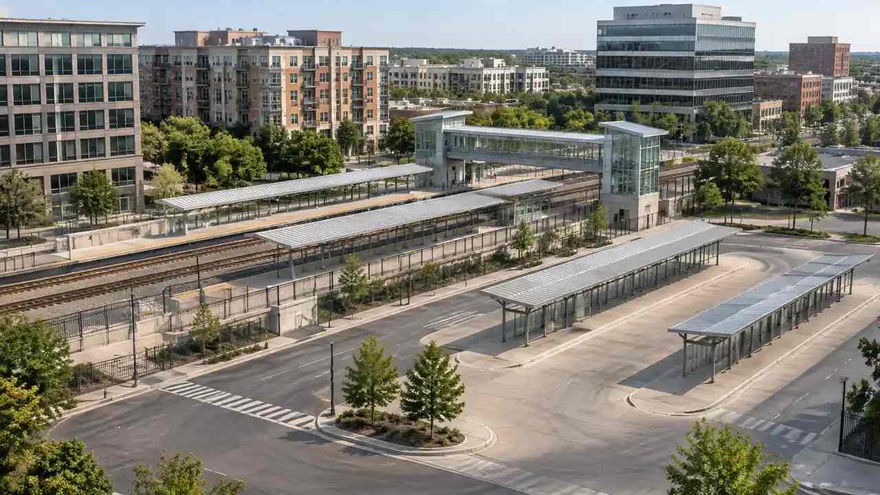
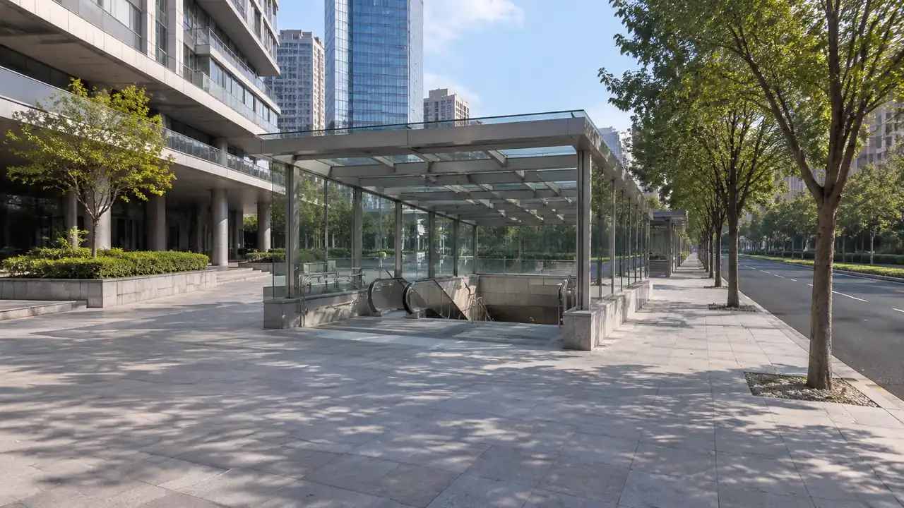
Platforms, entrances, concourses, and the streets that feed them decide how a station works. So do the buildings next door, because they shape wind, shade, access, and the views passengers get when they leave. A twin that ignores those surroundings can run a clean scenario that never matches the street.
The station edge matters as much as the station itself. Bus stops, taxi areas, bike parking, and service entrances sit in a narrow band that is easy to compress on a plan. In 3D, the band becomes a place with dimensions, and the conflicts between modes become visible.
1.2 Where does the corridor meet the ground?
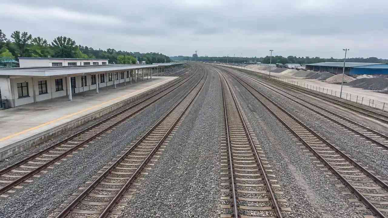
A rail or bus corridor touches the ground at stations, depots, bridges, and crossings. Each of those points has its own constraints: a bridge has clearance below, a crossing has road traffic, and a depot has yard space. The twin needs to know where the corridor sits relative to the land at each point.
Elevation is part of that. A corridor that runs on an embankment, in a cutting, or at grade behaves differently in a scenario about access or flooding. Site context shows which condition applies, even when the design is not final.
2 Data the twin depends on
2.1 Which sources feed the site layer?
Site context comes from several places. Aerial and satellite imagery provides the surface, building records provide footprints and heights, and local plans provide roads and boundaries. Transit operators may hold their own drawings for tracks, platforms, and depots, and those are usually more reliable than any public source.
The mix matters more than any single source. Imagery shows what exists, records show what is permitted, and operator drawings show what is actually built. A site layer that blends them without labels hides disagreements that the twin team needs to see.
2.2 What has to be checked before use?
Check the date, the coverage, and the coordinate handling of each source. Older imagery can miss a new entrance or a demolished building, and a source without clear coordinates can shift when it is combined with another. Those problems are easier to fix before the data enters the twin than after.
Check the classification too. A building tagged as commercial may be a station entrance, and a paved area may be a bus loop rather than a parking lot. Labels drive how the twin treats a feature, so they deserve a review pass.
3 Making the model usable by operators
3.1 How should layers be organized?
Layers should follow the questions the twin will answer. One layer for the station structure, one for streets and access, one for buildings around the station, and one for terrain is a workable start. Operators can then turn off what they do not need instead of scrolling through a single merged object.
Names should be plain. A layer called "context" tells a new user nothing, while "buildings within 400 meters" says what it holds. The same rule applies to objects: a station entrance should be named as an entrance, not as a generic building. The test is whether a new user can find the station entrance without being told where it is.
3.2 How do teams keep versions clear?
Every version needs a date and a short note about what changed. A site layer that gains a new building or loses a demolished one is a different input, and a scenario run on the old layer may not hold on the new one. Keep the note short, but keep it.
Store the versions where the twin team can reach them, and retire old ones with a clear label. A folder of files named final, final2, and final3 is a sign that nobody owns the input.
4 Testing scenarios before hardware
4.1 Which scenarios belong in an opening pass?
Start with scenarios that depend on geometry: passenger flow at an entrance, bus and taxi conflicts at the curb, service access at the rear of the station, and sightlines from the platform. These can be discussed with a site scene before any sensor or simulation is connected.
Add one or two disruption scenarios that the operators care about, such as a closed entrance or a diverted bus route. The aim is not to model the disruption in detail, but to see whether the site layout gives people a reasonable alternative.
4.2 When does a scenario review mislead?
A scenario review misleads when the site layer is treated as current. If the scene is a year old and the street has changed, the scenario is testing a place that no longer exists. It also misleads when the geometry is too coarse for the question, such as reviewing a queue with a single block for the whole curb.
Keep a note beside each scenario that states the source date and the level of detail. Readers can then judge how much weight the result deserves.
5 Building the site input in GenAnywhere
5.1 How does a station area become a scene?
GenAnywhere builds a scene from a map selection, using map and satellite data to generate buildings, terrain, water, and vegetation. Building outlines, estimated heights, inferred types, and surrounding greenery arrive as editable objects. For a station area, that covers the platforms, nearby buildings, streets, and the ground between them.
The scene will need correction. A new entrance may be missing, a demolished structure may still appear, and heights are estimates. Correcting those items is part of preparing the input, not a separate step.
5.2 What can be adjusted before export?
Buildings can be replaced, moved, rotated, and changed in height or type. Layers for buildings, terrain, and vegetation can be shown or hidden, which helps when the twin team needs a clean ground surface for one test and full context for another. The scene can be reviewed from any angle before it leaves the platform.
Terrain follows the ground rather than sitting flat, which matters at a station on a slope or beside a cutting. Vegetation can be hidden when the twin team needs a clean surface for a test, then shown again for a context view.
The export is a general GLB file that can enter 3D, BIM, GIS, and game engine workflows. It is a visualization and review input, not a native twin format, and coordinate handling belongs to the receiving system. BIM and infrastructure handoffs follow conventions developed through buildingSMART International, which publishes the IFC standards used for infrastructure exchange. Record the settings used in the browser, because the engine team may want the same framing. Open the browser app to build the station area, then follow the site workflow for the review.
6 Limits and handoff
6.1 When is a site scene not enough?
A site scene is not enough when the twin needs live data, equipment state, or passenger counts. Those come from systems the scene does not connect to. It is also not enough when the question depends on structural capacity, fire engineering, or accessibility compliance, which need discipline-specific analysis.
Treat the scene as the geographic frame, not the twin itself. The twin adds data, rules, and interfaces; the scene gives those pieces a place to sit.
6.2 What should accompany the model?
Send the scene with a short data note: source dates, the corrections made, the layers included, and the questions the scene is meant to support. Add the names of the people who reviewed it, because a twin team will need someone to ask when a feature looks wrong.
Include a version identifier that matches the one in the twin's records. Without that link, the team cannot tell which site input a scenario used, and reproducing the result becomes guesswork.
6.3 How does a team begin?
Pick one station and build the area within walking distance. Keep the opening pass focused on the station structure, the streets, and the buildings that shape access. Review it with the operators before adding detail, because their questions will set the priority for the next pass.
Then connect the scene to one scenario, not five. A single test that uses the site layer properly teaches the team more than a broad demonstration that skips the details.
7 FAQ
FAQ-1 Is a site model a digital twin?
No. A site model describes the ground and the objects on it. A twin adds live or recorded data, rules, and interfaces that let someone monitor or test the real system. The site model is one input to that larger structure, and it needs its own date, version, and review record. Treat it as a layer with a job, not as the twin itself.
FAQ-2 How current is the imagery?
The scene reflects the map and satellite data available when the area was generated. Changes since that date, such as a new entrance or a closed street, may not appear. Check the source date and correct what matters before the scene becomes a twin input. Put the date in the file name so the twin team can match the scene to a scenario.
FAQ-3 Can teams test several station options?
Yes. Build each option on its own base scene or as an edit of a shared one, then review them with the same camera, layers, and question list. Record which assumptions differ, because those differences often explain the result. The platform supports comparison; it does not evaluate the options. Keep the same base scene where possible so the comparison is not measuring terrain differences.
FAQ-4 Which formats can the export enter?
The scene exports as a general GLB file, which many 3D, BIM, GIS, and game engine applications can import. The receiving system decides how it handles units, materials, and coordinates. Test the path with a small area before the twin team depends on it, and keep a copy of the file that was tested with the twin team.
Content and technical notes
This article was prepared by the GenAnywhere team with AI-assisted drafting and human review.
Product features, formats, and availability change as the platform evolves; refer to the official GenAnywhere website for current details.
For technical questions or corrections, contact support@genanywhere.com.
Last reviewed: 2026-11-11.