
Factory scenes: how GenAnywhere builds from a map
From picking an area on the map to a scene someone else can review, in a sequence you can repeat on the next site.
A factory scene in GenAnywhere starts with an area drawn on a map, not with a blank file. The platform reads that area, generates terrain, water, vegetation and building masses, and hands you something you can turn, edit and review within the hour. The rest of this piece follows that path in order, because most of the avoidable mistakes happen at the start or at the handover, and few of them happen in the middle.
1 Drawing the area on the map
1.1 Choosing an extent
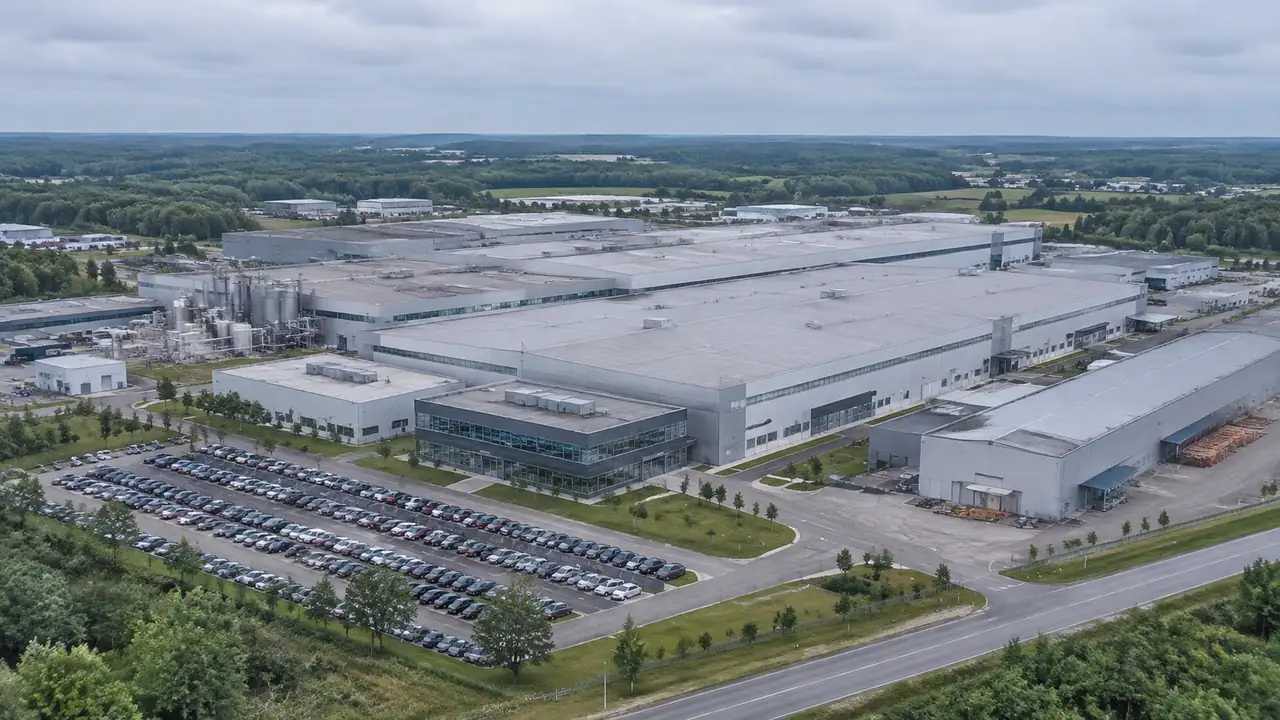
The area you select sets everything that follows. Too tight and the scene has no neighbours, so a review cannot discuss screening or access; too wide and the plant becomes a speck with half a town attached. Draw around the fence where you can, then add a margin on the sides that face housing, water or a main road. If two decisions need two extents, make two scenes. A single scene that tries to serve both usually serves neither well. Make the choice with the agenda in front of you, not with the mouse.
1.2 What the source already holds
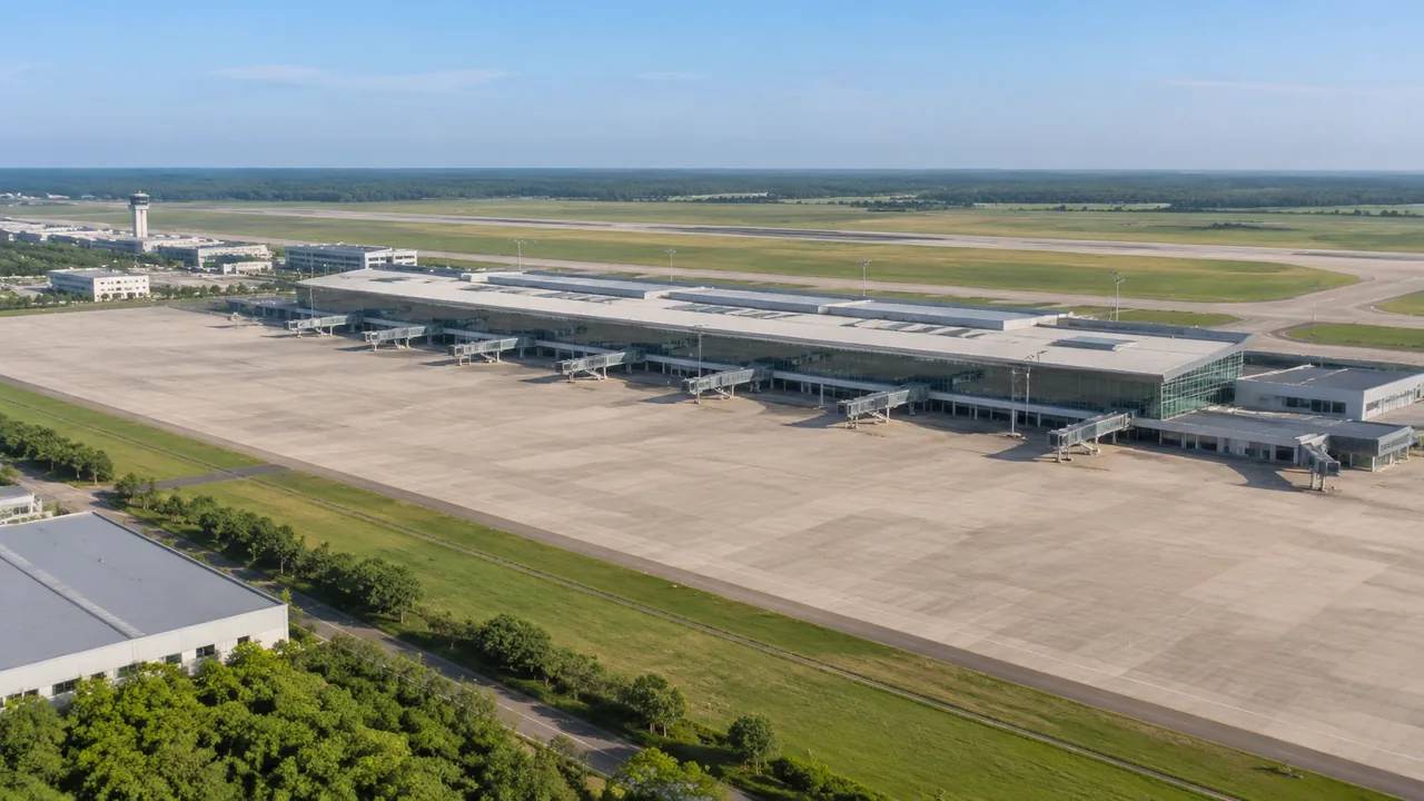
The map data behind the selection carries building outlines, a rough sense of height, a land cover class and a water outline. None of it was made for engineering, and all of it is good enough to start a conversation about massing. What comes through depends on the area: a well-mapped estate arrives close to its true shape, while a yard of sheds behind trees may arrive as two lumps. Look at the result before you judge the platform, and compare it with one aerial photograph you trust.
2 What the generation produces
2.1 Ground, water and planting
Terrain comes out as a surface with the local slope and any embankment the data supports. Water bodies appear as surfaces where the map shows a pond, a canal or a river. Vegetation appears as a layer, grouped rather than individually surveyed, which is why a wood reads as a mass and a row of trees reads as a line. Together these three give the plant its setting, and the setting is often the part a review argues about. A scene without them looks like a layout on a table; with them, it looks like a place.
2.2 Building masses and their attributes
Each building arrives as a closed volume with a footprint from the outline, an estimated height and an inferred type. Type matters because it drives how a mass is drawn and how a reader interprets it: a production hall, a warehouse and an office block should not look alike at a glance. The masses cast shadows on the terrain, which is a small thing that makes a scene legible. What they do not carry is any internal arrangement, which is why nobody should read a roofline as evidence of what happens underneath it.
3 The correction pass
3.1 Buildings that need to change
Every factory scene needs a correction pass, and it takes minutes rather than hours. A hall extended last year is stretched to match, a demolished shed is replaced or removed, a new warehouse is placed on open ground. Height can be raised or lowered, alignment rotated, type changed. Work through the site from the gate inward, because the buildings near the entrance are the ones a visitor uses to judge whether the scene is credible. Tick each building off against the drawing as you go, and stop when the tick list runs out.
3.2 Reading the scene in layers
Buildings, terrain and vegetation toggle as layers, which turns the scene into a diagnostic tool as well as a picture. Hide the vegetation to see whether the ground under a tree belt is flat or sloping. Hide the buildings to see the plot as open land, which is how a new build will be judged. Do this pass before anyone else sees the scene, and fix what the layers expose rather than explaining it later. Two minutes of layer work prevents twenty minutes of apologies.
4 Where a map-made scene stops
4.1 Equipment, roads and process
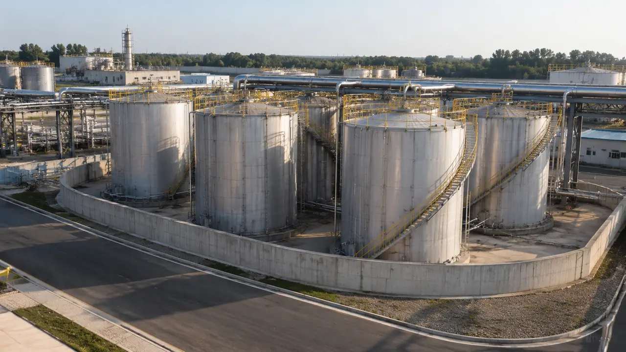
Pipe racks, tanks, conveyors, chimneys, crane rails and process lines are not generated, and neither are internal roads, rail sidings or drainage. They are design assets and civil works that come from other models and libraries, added in the downstream tool. The OGC community publishes a good deal on how such layers are described and exchanged. In the scene, the plant is a set of volumes on ground, and that is the honest description to give a reviewer. Anyone who needs the pipe route should be pointed at the model that holds it, not at a zoomed-in corner of this one.
4.2 Imagery date and site change
A factory changes faster than the map does. A new bay, a removed stack or a resurfaced yard can postdate the imagery by a year or more, and the generated scene will reflect the older state. Check the date for the area before you present, and say it in the opening minute. Where a change is known, correct it; where it is uncertain, describe it. A dated scene is a useful scene, and an undated one invites arguments it cannot win. If the imagery is years old, put the year in the scene name so it travels with the file.
5 Making the scene reviewable
5.1 Framing the views you will use
A scene is reviewed from a handful of positions, and those positions are worth choosing in advance. One wide view for the setting, one from the gate for arrival, one oblique view over the hall under discussion. Save or note each one, so the conversation does not drift while somebody hunts for an angle. A view from above the yard explains circulation better than a view from above the roof, and a low view explains height better than any plan. Four views are usually enough for a one-hour review.
5.2 Notes the next person needs
Write down the extent, the date of the source data and every edit you made. That note is what separates a scene that can be reused from one that has to be rebuilt. It also settles the question every reviewer asks eventually: is this the site as it is, or as it will be? A three-line note answers that before it is asked, which keeps the discussion on the decision rather than on the provenance of a wall. Store the note beside the export, where the next person will look.
Open the GenAnywhere app and build a factory scene
6 Handover to other tools
6.1 Preview, then export
Preview the finished scene from the views you chose, then export a GLB. The file carries the terrain, water, vegetation, building masses and your edits into 3D, BIM, GIS and game engine workflows. The authorization statement covers what the licence allows, including permanent commercial use. Formats vary with the receiving tool, so treat the export as one step in a workflow rather than a universal interchange that every application will read the same way. Read the format notes for the host tool before promising a file to anyone outside the team.
6.2 Standing the file up elsewhere
Import the GLB into the tool that will host the work and check three things: scale against a known building, up axis, and whether the terrain sits under the masses rather than through them. Fix what needs fixing in the host tool, and record the fix. If the scene will be shown in a game engine, decide early whether the plant is one object or a set of named groups, because renaming afterwards is dull work that nobody budgets for. Check the ground plane too, since a scene that floats leaves a gap at every fence line.
6.3 What the next team adds
The design team adds what the map never had: equipment, conveyors, racking, pipework, vehicles, signage, and the ground-level detail that makes a plant recognisable. That work is faster when the scene beneath it is right, and slower when the masses are in the wrong place. A useful habit is to hand over a scene plus a two-line summary of its known errors, so the next team starts from a corrected base instead of rediscovering the same problems. Errors that are written down stop being arguments and start being tasks.
7 FAQ
FAQ-1 How long does a factory scene take?
The generation itself is quick once the area is drawn, and most of the time goes into the correction pass. A site with a dozen halls might take a few minutes to generate and longer to check against a drawing or a recent photograph. Sites with long sheds and attached canopies take longer, because outlines blur there and the masses need editing before they read correctly. Budget the correction pass, not the generation, when you plan the session.
FAQ-2 Can I bring my own data into the scene?
Not as a data import. The scene is generated from the map selection, and your knowledge enters through edits: moving, resizing, replacing or removing masses. For survey data, drone capture or as-built drawings, the place to combine them is the downstream tool that receives the export. Keeping the two streams separate makes it clear which parts of a picture came from the map, which matters when the picture is later used as a record.
FAQ-3 Does the scene include the plant's roads?
No. Internal roads, yards, rail sidings and drainage are not generated. The terrain shows the ground they sit on, and the buildings show where they must pass, which is enough for an early conversation about circulation. The road geometry itself comes from a civil model or a map layer added in the receiving tool, along with markings and kerbs. Ask the civil team for that layer early, because access questions come up sooner than most people expect.
FAQ-4 What does a reviewer see?
A turnable scene with the plant in its setting, correct enough in mass and position to support a discussion about layout, screening, expansion or access. It is not a survey and it is not a design. Say both things at the start, then let the scene do its work, which is to give everyone in the room the same picture of where things stand. Agreement about the picture is worth more than detail at this stage, and it arrives faster.
See how a mapped site becomes a shareable scene
Content and technical notes
This article was prepared by the GenAnywhere team with AI-assisted drafting and human review.
Product features, formats, and availability change as the platform evolves; refer to the official GenAnywhere website for current details.
For technical questions or corrections, contact support@genanywhere.com.
Last reviewed: 2026-11-13.