
Site model from a map: where GenAnywhere fits early design
A working base for the weeks before a survey arrives, and a clear list of what it cannot settle.
A site model from a map gives the design team something to look at before a survey or a drawing exists. GenAnywhere builds that base from satellite and map data, and the result stays editable, so a block can move and a building can change height without a rebuild. What follows is a practical account of the layers, the estimates, the export and the limits.
1 What the base contains
1.1 Which layers appear?
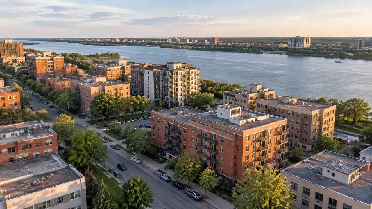
The base arrives in three working layers: buildings, terrain and vegetation. Water is generated where the source shows it, and the terrain is matched to the surrounding ground rather than left flat. Each layer can be reviewed on its own, which matters when a planner wants the ground without the trees.
Building outlines follow the map footprints. Heights are estimated, not surveyed, and the type is inferred from the surrounding pattern. That is enough to judge massing and street enclosure, and not enough to set a finished floor level.
Water arrives as a separate surface where the source records a river, canal or lake. Its edge follows the map, so a riverbank that has been rebuilt since the source date will sit in the wrong place. Treat the water layer as a shape for orientation, not as a flood line or a legal boundary.
1.2 What is estimated?
Three things are estimated: height, building type and the vegetation band around the site. The estimates are useful for proportion and useless for structural work. A team that treats them as measured values will spend the rest of the project correcting assumptions.
The honest position is simple. The base shows what a map can support, and the note says so. Estimates that are labelled are useful; estimates that are hidden become a liability at the opening review.
2 How early design uses it
2.1 What can be tested?
Early design asks about massing, access, view corridors and the relationship between a proposal and its neighbours. A map-based base supports all four at the scale of a conversation. A designer can drop a block into the scene, rotate it, and see whether the street still reads.
The base also helps a team decide what to survey. A gap that is visible in the model becomes a specific request rather than a general worry. That alone can save a site visit.
2.2 What stays outside?
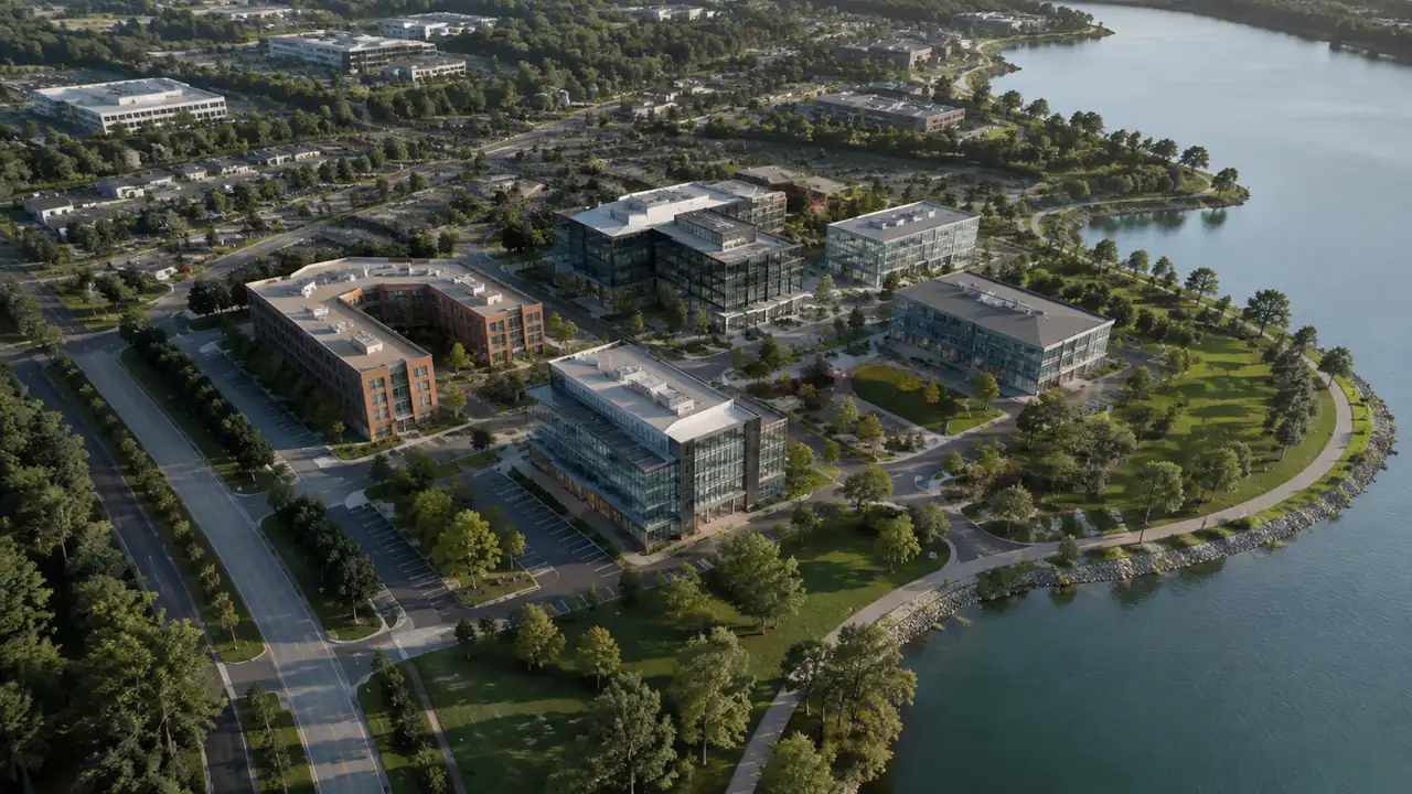
Detailed facades, structural grids and interior layouts stay outside the base. So do legal boundaries, ownership and any question that depends on a measured level. The model is context, and context is a different job from documentation.
Teams get into trouble when they ask a context model to settle a documentation question. The answer looks plausible on screen, which is the reason the note has to say what the scene is for. A short scope line at the top of the note does more work than a long disclaimer at the bottom.
3 Where the source matters
3.1 How fresh is the map?
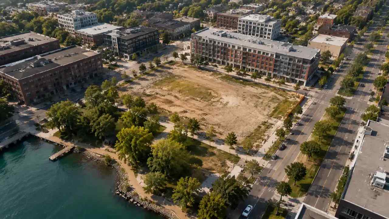
Map data carries a date, and the date is the cheapest check available. A new road, a demolished building or a cleared lot can be missing from a source that is a year old. The model inherits that gap without warning.
Check the date against anything the team already knows about the site. If the site has changed recently, the base is a starting point rather than a record. Recording the date in the handover note keeps the next reader from assuming more than the source can carry.
3.2 What does coverage miss?
Coverage can stop at a boundary or thin out at the edge of a city. A base that covers the plot but not the street leaves out the argument, because the street is usually where the question lives. Draw the area with the neighbours included.
Standards work such as the OGC's CityGML specification describes how such datasets are structured, which helps when a team has to explain the source to someone outside the project.
A coverage drawing belongs in the package. It takes a few minutes to make and answers the question that arrives by email two weeks later: which streets were in the scene, and which were not.
4 From base to design tool
4.1 How does the export work?
Preview the scene, then export it as a general GLB. The file carries geometry and materials, and it opens in the tools a studio already uses. The workflow page lists the directions the team supports, including game engines and design software.
The export is a handover, not a translation of intent. Layers and names may survive the trip, and they may not. Test the file in the receiving tool before the team builds a habit around it.
4.2 What does the designer check?
Three checks cover most of the risk. Confirm one known dimension, confirm the layer names and confirm that the site sits at the origin the receiving tool expects. A file that opens is not the same as a file that behaves.
If a check fails, fix it before the scene spreads through the project. A wrong scale discovered after a week of work is expensive, and the same error caught at import is a two-minute correction.
It also helps to open the file on a second machine. Import settings differ between workstations, and a scene that behaves on the machine that made it can arrive at a different size elsewhere. The second check is quick, and it catches the sort of problem that is hard to explain later.
5 What to record
5.1 What goes in the note?
Five items are worth a page: the source, its date, the area covered, the edits made and the person who checked the file. The note is not bureaucracy. It is the difference between a colleague opening the scene with confidence and opening it with a set of questions.
Edits deserve a line each. A replaced building or a raised terrain edge changes the scene in ways that are invisible later, and a short log keeps the change explainable.
The note should also say who owns the next update. A name is better than a team, because a team cannot answer an email. When the owner changes, the note changes with it.
5.2 How do you keep it current?
Refresh the base when the question changes, not on a calendar. A model built for a massing study does not need updating for a landscape review unless the terrain is the subject. Tie the refresh to the decision.
When a new version replaces an old one, retire the old file rather than leaving both in the project folder. Two scenes with similar names are a reliable source of confusion in a busy week.
6 When to move on
6.1 When is the base enough?
The base is enough while the question is about arrangement and context. If the team is comparing two massing options, testing a street edge or preparing a consultation image, the map-based scene does the work. Draw the area in the GenAnywhere app and start there.
6.2 When is a survey needed?
A survey is needed when a measured level, a boundary or an existing condition drives the decision. The base can frame the brief for that survey, and it cannot replace the result. Saying this early protects the model from being asked to do a job it was never built for.
The transition is easier when the survey team receives the scene. They can see the area, the neighbours and the questions that prompted the commission, and their report can refer to the same boundary. That continuity is worth more than another round of emails.
6.3 When does the model retire?
The model retires when the design moves into documentation, or when the site changes enough that the base no longer describes it. Keep the note with the file so the retirement is a decision rather than an accident.
Follow the map-to-model workflow in GenAnywhere.
7 FAQ
FAQ-1 Is the base a survey?
No. It is a context model built from map and satellite data, with estimated heights and inferred types. It is useful for massing, access and neighbour studies, and it is not a measured record of the site. If a decision depends on a level or a boundary, commission a survey and use the base to explain what the survey needs to cover.
FAQ-2 Does it work outside cities?
It works wherever the map source has usable coverage. Dense urban areas usually carry the most detail, and rural areas can be thinner, with fewer building outlines and simpler ground. Check the coverage before promising a scene, and add a site visit where the source is weak.
A rural scene often needs more manual work after generation: a missing barn, a track that is not in the map, a tree line that has moved. None of that is a reason to skip the base, and it is a reason to budget an hour of editing before the opening review.
FAQ-3 Can I edit a single building?
Yes. A building can be replaced, moved, rotated and given a different height or type, and the change stays inside the layer structure. The edit is a design move, not a survey correction, so record it in the note. A short line per change is enough for the next reader to follow what happened.
FAQ-4 Which file do I get?
The scene previews in the browser and exports as a general GLB for use in 3D, BIM, GIS and game-engine workflows. The receiving tool decides what survives, so test one dimension and the layer names after import. Formats vary by workflow, and the export is a working handover rather than a finished asset.
Content and technical notes
This article was prepared by the GenAnywhere team with AI-assisted drafting and human review.
Product features, formats, and availability change as the platform evolves; refer to the official GenAnywhere website for current details.
For technical questions or corrections, contact support@genanywhere.com.
Last reviewed: 2026-11-06.