
Rail link planning: a terrain-first workflow in GenAnywhere
Reading ground, cuttings, and crossings before alignment work
Rail link planning is a conversation with the ground before it is a line on a plan. Grade, drainage, and the places where the route has to cross something decide much of the cost and most of the early arguments. Starting from terrain gives the team a way to test ideas before an alignment is fixed.
1 Why terrain comes before alignment
1.1 How does grade shape a rail link?
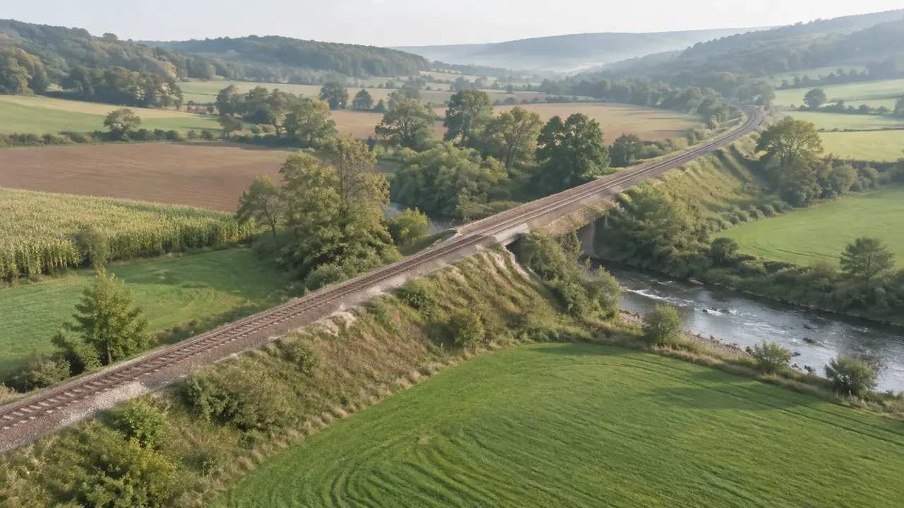
Rail needs gentle grades, and the ground rarely cooperates. A route that follows a valley may be long, and a route that cuts across a ridge may need deep excavation or a tunnel. Those trade-offs show up early when the terrain is the starting point rather than a background layer.
Grade also affects operations. A steep section can limit speed or train length, and a long climb can shape where a station or a siding has to sit. The scene cannot design the profile, but it can show where the ground forces a decision.
1.2 Where do cuttings and embankments appear?
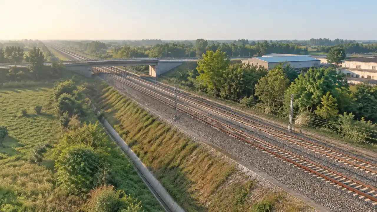
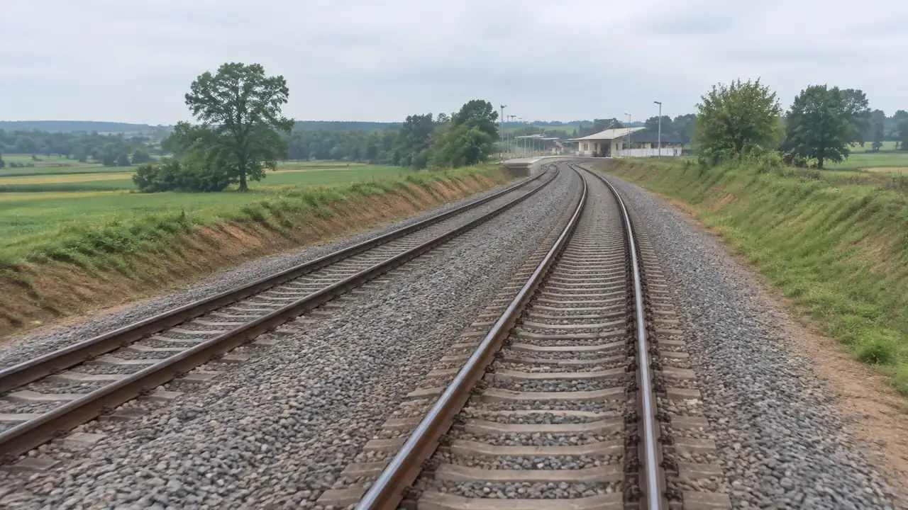
Cuttings and embankments are the visible cost of holding a grade. A cutting removes material, an embankment adds it, and both change drainage and access along the route. On a 3D surface, the places where a line would cut or fill stand out without a contour map.
A shallow cutting may be enough for one section and useless for the next, which is why the review moves along the route rather than stopping at one point. Those places are also where the route meets neighbors. A deep cutting can separate a community, and a high embankment can block a view or a road. Seeing the height difference in context helps the team discuss mitigation before the alignment hardens.
2 Crossings and constraints
2.1 Which crossings drive the route?
Crossings often decide more than the open sections between them. A river, a highway, or an existing rail line fixes a point that the route has to reach, and the approach to that point shapes the rest. Put the crossing in the scene, and the route becomes a set of connections rather than an abstract line.
Each crossing has its own constraints. A bridge needs clearance and approaches, a road crossing needs a grade separation or a level crossing decision, and a rail-to-rail connection needs track geometry that works. The model can show the ground at each point, while the engineering comes later.
2.2 How do towns and roads affect the corridor?
Towns affect a rail link through noise, access, and land. A route that passes close to houses will face questions that a route through open land will not, and a route that cuts a farm in two will face others. Those conditions vary along the corridor and are easy to lose in a long drawing.
Roads add conflict points. Every road crossing is a place where the route and the local network interact, and every new access road is a place where the project changes the neighborhood. Marking those points on the model keeps them in view as the route moves. Local plans and planning policy, such as the material published by the Royal Town Planning Institute, shape how a corridor is received.
3 Comparing corridor options
3.1 What should each option show?
Each option should show the same things: the corridor footprint, the main cuttings and embankments, the crossings, and the stations or stops under consideration. Use the same camera positions for every option so the group compares routes rather than viewpoints.
Show the terrain with and without the corridor. A route that looks reasonable on a flat base can look very different when the ground is visible, and the difference is often the argument the team needs to hear.
3.2 How do teams avoid false comparisons?
Keep the assumptions constant. If one option assumes a tunnel at a ridge and another assumes a cutting, the comparison is about two different engineering choices, not two routes. State the assumption for each option and compare like with like.
Keep the level of detail constant too. A detailed option with station buildings will feel more real than a bare corridor, even if the bare one is better. Either add the same level of detail to both or strip both back.
4 Building a terrain-first review
4.1 What enters the scene early?
Terrain, water, and existing buildings enter before any route. That order matters, because it forces the team to read the land before drawing a line. The opening review should be about where the ground is difficult, not about where the route should go.
Add the crossings next. Mark the river, the highway, and the existing rail line, and look at the ground around each one. Those points will constrain the route more than any open field, and they deserve attention early.
4.2 How can a route idea be tested without design tools?
A rough corridor can be represented with simple blocks or a moved building mass, enough to show where the route would sit and how it would meet the ground. It will not be an alignment, and it should not be presented as one. Keep the idea labeled as a sketch so nobody mistakes it for a design. What it can do is start a conversation about the places where the route conflicts with something.
Use views from the side as well as from above. A side view shows the cut and fill in a way a plan cannot, and it shows how the route would appear to someone standing nearby.
5 Where GenAnywhere fits
5.1 How does a corridor site enter the model?
GenAnywhere generates a scene from a map selection, using map and satellite data for buildings, terrain, water, and vegetation. Building outlines, estimated heights, inferred types, and greenery arrive as editable objects. For a rail corridor, that gives the team the ground and the built context along the route.
The scene is broad rather than detailed. It will not show track, signals, or structures in their engineering form, and it will not replace the operator's drawings. It gives the team a shared view of the land the route has to cross.
5.2 What can be changed and exported?
Buildings can be replaced, moved, rotated, and adjusted in height or type, and terrain and vegetation can be toggled by layer. A team can test a station footprint, clear a view, or move a mass to represent a corridor idea. Those changes are quick enough to use during a workshop.
Terrain follows the ground across the corridor, so a cutting or an embankment shows its height against the surrounding land. Layers let the team hide vegetation for a grade view and bring it back for a screening view.
The scene exports as a general GLB file for 3D, BIM, GIS, and game engine workflows. It is a review asset, not an alignment model, and coordinate handling sits with the receiving software. Open the browser app to build the corridor area, then use the site workflow for the terrain review.
6 Limits and next steps
6.1 When is the scene not enough?
The scene is not enough when the question needs alignment geometry, structural design, or operating rules. Track curvature, gradient limits, signaling, and clearance all come from rail engineering standards and the operator's requirements. A terrain scene can frame those questions but cannot answer them.
It is also not enough when the ground is not what the imagery shows. New construction, mining, or erosion can change a corridor, and the scene will not know. Verify the ground before a review depends on it.
6.2 What should go to the alignment team?
Send the scene, the views that show the difficult ground, and a note on what each view is meant to test. Include the crossings and the constraints that shaped them, plus the assumptions behind any rough corridor. The alignment team can then start from a shared list of problems.
Add the source dates and the questions the scene could not answer. A clean handoff is more useful than a polished model, because it tells the next team where to look. Where the scene and the field notes disagree, the field notes should win.
6.3 How does a team begin?
Pick a section between two crossings and build the ground around it. Keep the corridor rough and the terrain honest. Review the section from above and from the side before adding any detail.
Then walk the section with the people who know it. Local knowledge will correct the imagery and raise constraints that no model contains. Record those corrections, and let them shape the next pass.
7 FAQ
FAQ-1 Can the model design an alignment?
No. An alignment needs geometry, gradient, curvature, and operating requirements that the scene does not provide. The model shows the ground and the built context so the team can see where an alignment would face difficulty. Design still happens in rail engineering tools and under the operator's standards. The scene can show where those questions will be hardest to answer.
FAQ-2 How current is the imagery?
The scene reflects the map and satellite data available when the corridor was generated. Construction, vegetation, and ground changes since that date may not appear. Check the capture date and verify the sections that matter on site or with newer sources. For a long corridor, check a few sections rather than the whole route at once.
FAQ-3 Can teams compare two corridors?
Yes. Build each corridor area from its own map selection or as an edit of a shared scene, then review both with the same camera and layer settings. Keep the assumptions about cuttings, tunnels, and crossings explicit. The scene supports the discussion; it does not rank the corridors. Record which sections drove the choice, because the reason often matters more than the overall line.
FAQ-4 Which tools can open the export?
The export is a general GLB file that many 3D, BIM, GIS, and game engine applications can import. Units, materials, and origin placement may need adjustment in the receiving tool. Test with a small area before the alignment team relies on the file. Keep the tested file with the review notes so the team can reproduce the view.
Content and technical notes
This article was prepared by the GenAnywhere team with AI-assisted drafting and human review.
Product features, formats, and availability change as the platform evolves; refer to the official GenAnywhere website for current details.
For technical questions or corrections, contact support@genanywhere.com.
Last reviewed: 2026-11-11.