
Pipeline upgrades: where GenAnywhere sets the base map
For an upgrade inside a live corridor, the generated site is the base layer under the drawings; the line itself stays in the design tool.
A pipeline upgrade usually starts with a question about ground: where the existing easement runs, what sits beside it, and what a new access track would cross. GenAnywhere answers the ground part by generating an editable 3D site from map data and exporting it as a GLB. The pipe, the valves and the station equipment are design assets, so they sit above that base rather than inside it.
1 What the base map contains
1.1 Generated ground and cover
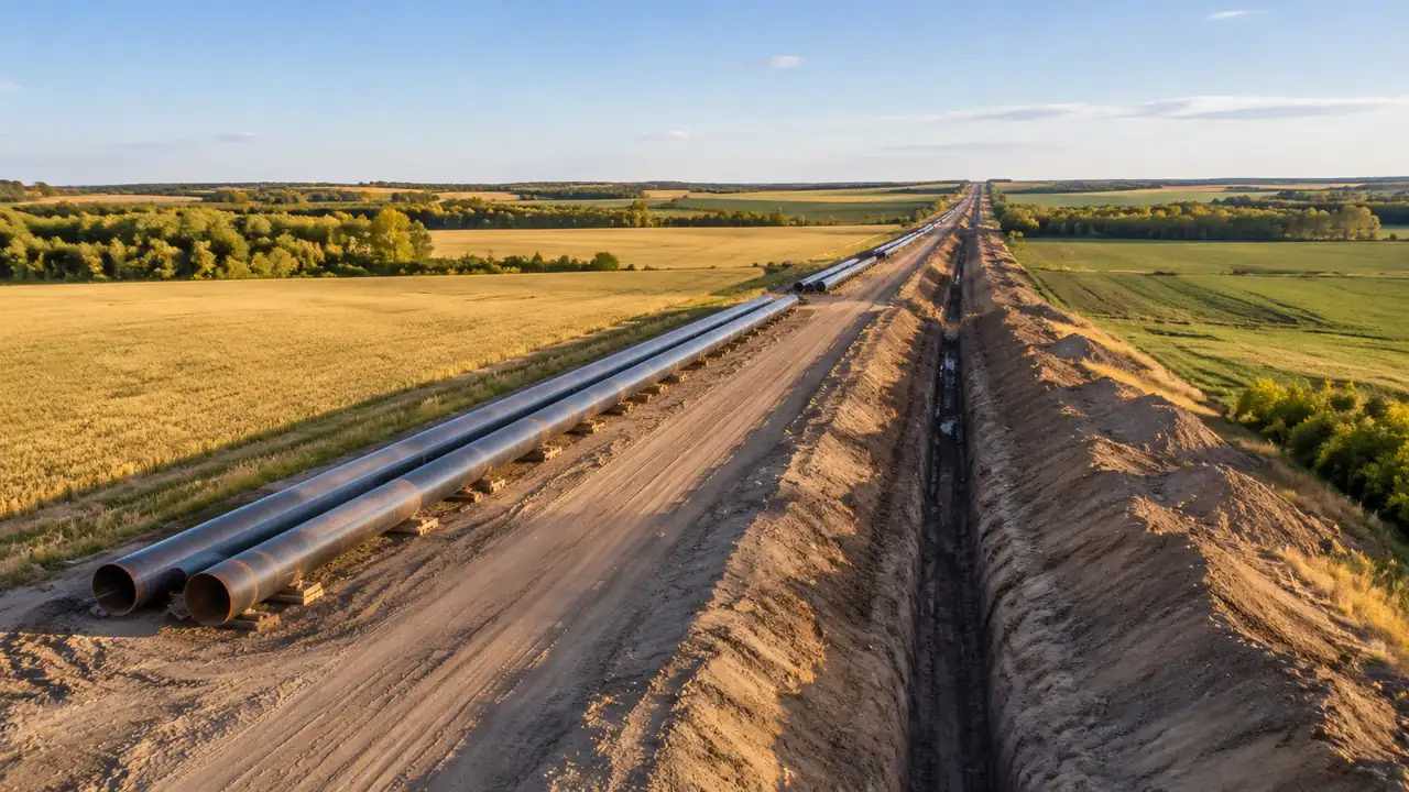
The base map here means the generated site: terrain from elevation data, water bodies where mapping shows them, vegetation inferred from imagery, and building masses with estimated heights. It is a scene rather than a drawing, so a corridor can be seen from the air and from ground level without anyone building a model by hand. Cover matters for upgrades, because a route that crosses pasture, orchard and housing has three different conversations attached to it. The platform overview lists what the generated set includes.
1.2 Overlays that stay outside
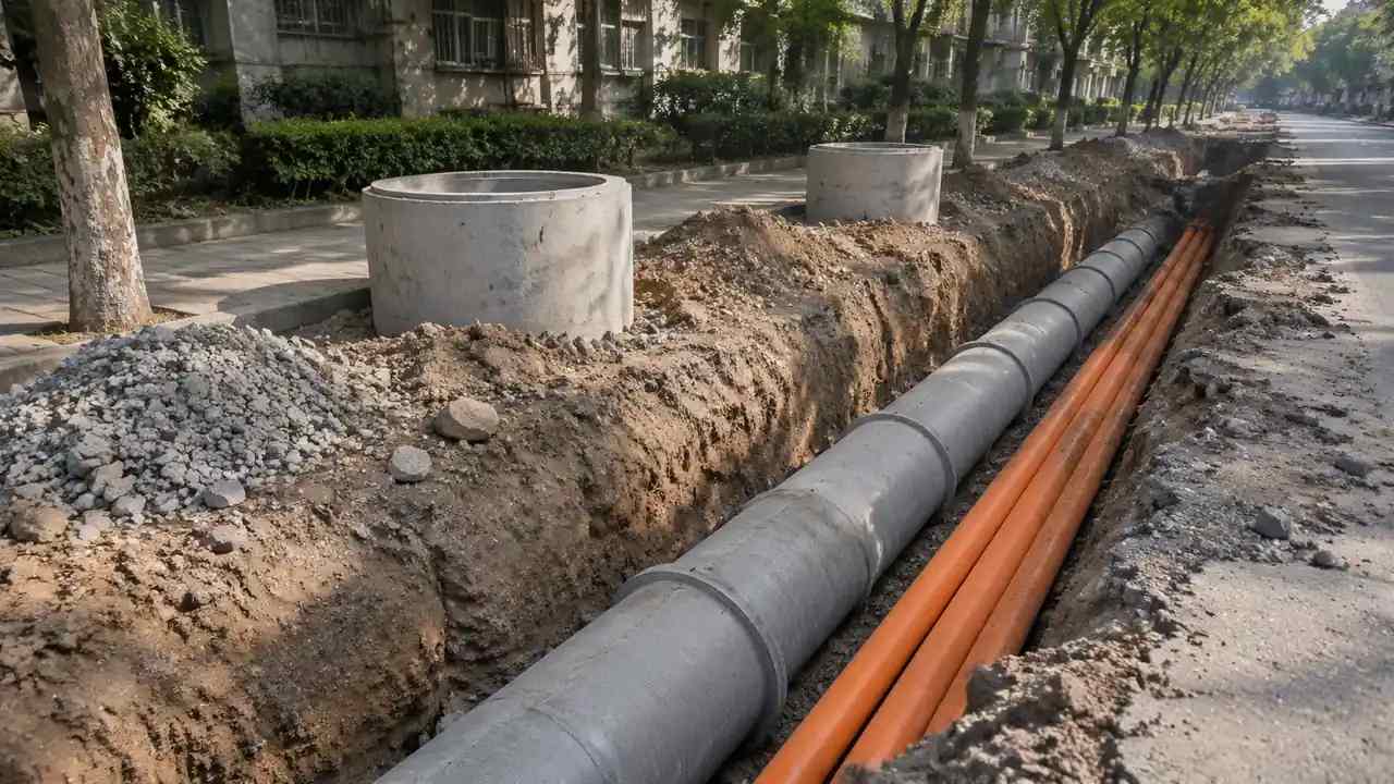
Hydrocarbons do not travel through generated geometry. Pipe centrelines, valves, pig traps, compressor stations and cathodic protection are engineering assets with their own data and their own owners. In an upgrade review they are overlays placed on the base map in a design tool, a GIS or a game engine. Saying which layer is context and which is the asset prevents the common mistake of reading a corridor scene as a route record. It also keeps the base map reusable when the design changes.
2 Upgrades that change the base
2.1 Stations, tracks and cleared ground
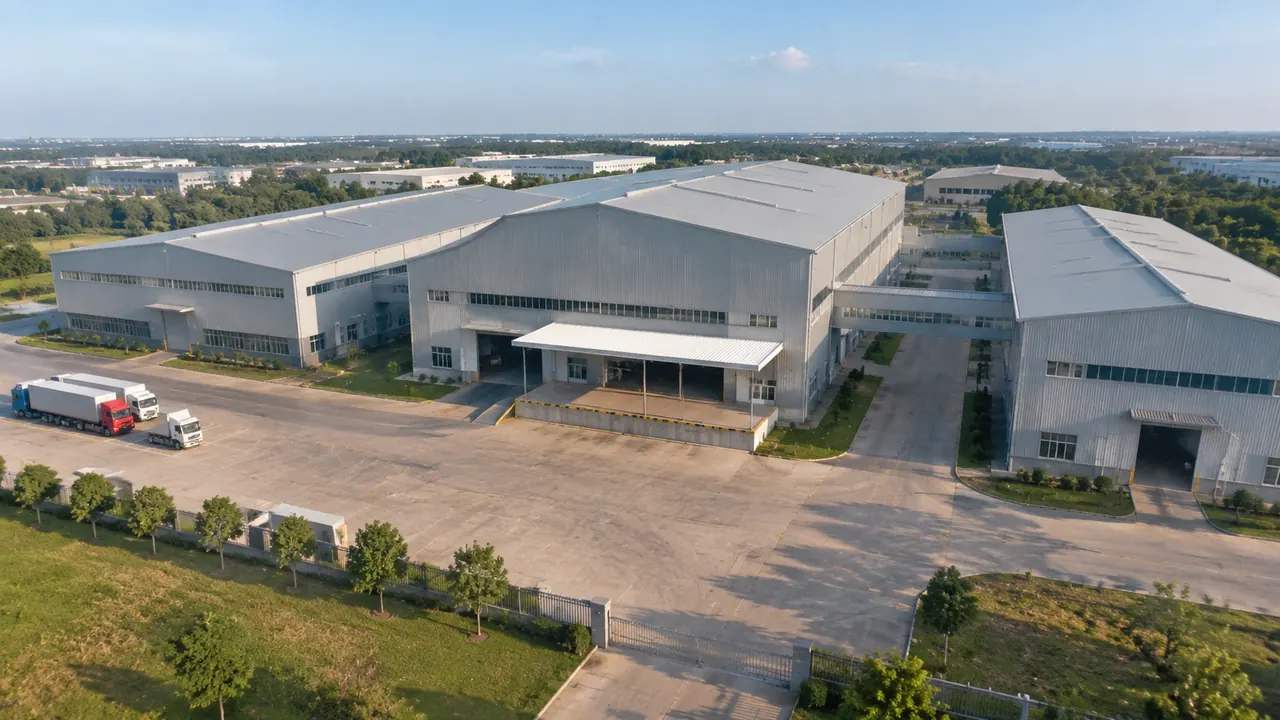
An upgrade often adds a launcher, a metering skid or a small compound, and those show up on the ground as cleared areas, hardstanding and a new access track. The generated base map will not contain them if the imagery predates the work. Building masses can be added, moved and resized, which covers the compound shed but not the skid. Plan the split before the review: masses in the scene, equipment in the overlay. A clear split saves an argument about why the pump looks like a box.
2.2 Sections replaced in a corridor
Replacement work is where the base map does the most work, since the argument is usually about disturbance: how much vegetation, how many field boundaries, which properties sit close to the new trench line. The scene shows the corridor as it is, and a drawn alignment can be laid over it to see what it passes. Nothing in the file measures that disturbance. It shows it, which is enough to frame the question and to decide who needs to look closer.
3 Where the base map earns its place
3.1 Walking the corridor
Eye-level views are the underrated part of a corridor scene. A plan hides a hedgerow, a lane, a farmyard that sits twenty metres off the easement. Walking the base map at eye level shows those relationships quickly, and it is the sort of detail that residents and landowners raise early. Take three or four viewpoints along the corridor and label them by chainage or by the nearest road. That labelling turns a set of pictures into something a project team can reuse.
3.2 Land use and access conversations
Upgrade work disturbs access before it disturbs anything else: gates, tracks, field corners, a lane used by a school run. The base map shows the existing network of minor roads and tracks, which is a better starting point for an access discussion than a corridor drawing alone. It will not tell you which track is usable in winter, and it will not show an agreement with a landowner. It gives the conversation a shared picture, which is the part that usually goes missing.
4 Limits
4.1 No route, hydraulic or integrity work
The platform does not design a route, size a line, check a hydraulic gradient, assess a crossing or evaluate integrity. Those belong to engineering tools and to the codes and practices that govern them, such as the standards published by the American Petroleum Institute. What the base map contributes is setting: the ground, the cover and the neighbours. Keep design results in their own documents and bring them into the review as overlays, so the base stays a base.
4.2 Imagery date in an operating corridor
An operating corridor changes in small ways that matter: a new fence, a widened gate, a reseeded slope, a replaced section of track. Imagery can be several years behind, and the scene inherits that date. Check the date for each tile you use, note it in the handover, and ask the operations team what has changed since. Where a change is central to the decision, mark it on the scene as a note rather than assuming the picture shows it.
5 Running an upgrade review
5.1 A sequence that holds
Begin with the corridor in its wider landscape, then move to the section under discussion, then to the specific crossing or compound. The wide view answers how the line sits between towns and rivers, the section view answers what the trench would pass, and the close view is where overlays do their work. Keeping that order stops the meeting from opening on a detail that just two people can place. If the corridor is long, split it into named sections and keep the camera height consistent.
5.2 Handover
Send the exported scene with the overlay files and a short note. The note should name the extent, the imagery date, the edits you made and the design files that sit on top. A receiving team that knows the base is dated will check the ground before it trusts it, which is the behaviour you want. A team that assumes the base is current will spend the meeting discussing a fence that moved two years ago. Keep a copy of the scene file as well, in case the corridor needs to be regenerated with a newer tile.
Open the GenAnywhere app and frame a pipeline corridor
6 Before you export
6.1 Set the extent by decision
Frame the corridor around the decision, not around the whole asset. A crossing review needs a few hundred metres and the buildings either side; a compression upgrade needs the compound and the access. Write the extent in the note in the units the project uses, whether that is chainage, kilometre points or named sections. One extent per question is easier to defend than a corridor that covers everything and answers nothing. A sketch of the extent on a map is quicker to agree than a paragraph describing it.
6.2 List the overlays
List what will be added downstream: pipe centreline, valves, launcher, skid, fencing, tracks, signage. The list tells the receiving team what to prepare and tells the audience what the picture leaves out. It also gives the review a checklist for the next stage, since an overlay that nobody lists tends to arrive late. Keep the list in the same document as the extent and the imagery date, so the handover is one read rather than three. A list with owners, even provisional ones, is easier to chase than a list without.
6.3 Keep versions apart
Upgrade projects run for months and the base map will be regenerated at least once. Name files with the area, the imagery date and a version, and keep the previous export until the new one has been checked. A folder of files called final and final2 is a warning sign in any review. Two lines of naming discipline save the team from re-exporting a corridor to answer a question about which version was on screen. Keep the note with the file, not in a separate message that gets lost.
7 FAQ
FAQ-1 Does GenAnywhere generate the pipeline?
No. The platform generates the site: terrain, water, vegetation and building masses. A pipeline is design geometry that comes from the engineering side, with its own data, codes and checks. The generated site is the base those drawings sit on, which is why an upgrade review can start quickly without a survey mobilisation. Describe the line as an overlay whenever the scene is shown. A named owner for that overlay keeps the split visible after the meeting ends.
FAQ-2 Can I compare an old and a new alignment?
Yes, as two views of the same base. Keep the camera position fixed, place the old alignment, capture the view, then replace it with the new one and capture again. The pair shows what changed on the ground without either drawing being edited. Label both images with the alignment version and the imagery date, because a comparison without those labels invites the wrong conclusion. Put the two images on one slide, side by side, so nobody has to remember the earlier view.
FAQ-3 Is the base map current enough for an upgrade?
That depends on the imagery date for your area, which you should check before the review rather than after. Recent imagery covers most corridors well, but small works completed in the last year or two may be missing. Treat the scene as context and confirm current conditions with the operations team. Where currency matters to a decision, say so on the slide and in the handover note. A base map with a stated date is easier to defend than one presented as the present.
FAQ-4 What does the base map leave as?
A previewable 3D scene and an exported GLB that carries the site into 3D, BIM, GIS and game engine workflows. The file includes terrain, water, vegetation and building masses plus your edits, and it does not include the pipeline or survey coordinates. How it lands depends on the receiving application, so check origin and scale before overlays are placed on top. Keep the export date beside the imagery date, since the two tell different stories.
See how a generated corridor moves into a GLB workflow
Content and technical notes
This article was prepared by the GenAnywhere team with AI-assisted drafting and human review.
Product features, formats, and availability change as the platform evolves; refer to the official GenAnywhere website for current details.
For technical questions or corrections, contact support@genanywhere.com.
Last reviewed: 2026-11-13.