
Utility load growth: compare site options, GenAnywhere
Turning a load forecast into a land comparison before the engineering starts
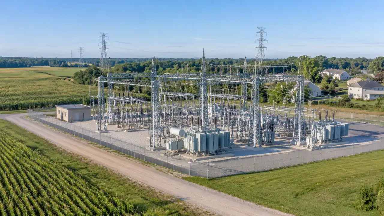
Load growth shows up as a number on a planning slide. Meeting it requires land: a substation, a battery yard, a peaker, or a switchyard with a buffer around it. The step between the number and the land is a site comparison, and it is where a 3D scene earns its place. GenAnywhere builds each candidate from a map selection so the options can be judged on the same terms.
1 What load growth asks of a site team
1.1 Turning a forecast into a land question
A forecast says how much power a region will need. A site team has to find places where equipment can sit, crews can reach it, and neighbors will tolerate it. Those are spatial questions with a limited set of answers in any given corridor.
Writing the requirements down helps. Footprint, access width, buffer distance, flood exposure, and distance to the existing network are the usual entries. A scene lets the team test those requirements against real parcels instead of abstract criteria.
The site team is not choosing the technology. It is finding land for a decision someone else has already made, and the search improves when the requirement is stated in meters and setbacks rather than in megawatts alone.
1.2 The constraints that eliminate sites early
Most candidates fail on something visible. The parcel is too narrow for the yard and its setback. The access road cannot take a low-loader. The nearest houses sit inside the buffer. The site is in a floodplain that the utility has already decided to avoid.
Finding those failures early is the value of an early pass. A scene that shows the parcel, the road, and the houses together makes the failure obvious without a survey.
Access is the constraint that surprises people. A parcel beside a highway looks ideal until the turn radius is measured, and a parcel on a narrow county road looks impossible until a second route is found.
2 Comparing candidate sites
2.1 Building each option from a map
Select an area around each parcel and generate a scene. In GenAnywhere, the map selection produces an editable model with buildings, terrain, water, and vegetation. The context is what makes the comparison useful: a yard that fits the parcel may still crowd a neighbor.
Keep the scenes separate but consistent. Same level of detail, same viewpoints where the terrain allows. A comparison between a detailed scene and a rough one is not a comparison.
Context also includes the things that are not buildings: the tree row, the drainage channel, the fence line that marks a boundary. Those features often decide where a buffer can sit.
2.2 Sizing the yard and the buffer
Place a block for the equipment yard and a strip for the buffer. GenAnywhere lets you replace a building, move or rotate it, and change its height and type, so the yard can be tested in two positions without rebuilding the site.
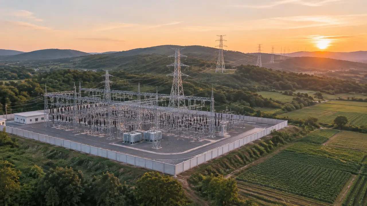
The buffer is where most community objections land. Seeing it from the nearest house is different from seeing it on a plan, and the difference often changes the preferred site.
Test the yard at the largest plausible footprint, not the smallest. A yard that fits at the low end of the equipment range can fail when the utility adds a transformer bay or a control building.
3 Reading the options against the neighborhood
3.1 Views from the nearest houses
Drop to eye level at the closest homes and look toward the yard. Equipment, fencing, and lighting are the visible elements, and their height matters. A scene shows how much of the yard is screened by existing trees and how much is exposed.
That view is not a visual impact assessment. It is a way to notice what a plan hides, and to decide whether a screening plan needs to be part of the comparison.
Time of day changes the view. A yard seen at noon looks different from one seen at dusk with lights on, and lighting is often the complaint that reaches the council.
3.2 Access for equipment and crews
Follow the route from the main road to the yard. Check the turns, the bridge weights, and the places where a large vehicle would have to cross a sidewalk. A route that works for a pickup may fail for a transformer transport.
The scene will not certify a route. It will show the geometry, and the geometry is what the transport planner needs to start.
Construction access is a separate route from operating access. A crane or a delivery may need a wider turning area and a temporary surface that the permanent layout does not show.
4 Where the scene stops
4.1 Load studies and interconnection
Load flow, short circuit, protection, and interconnection studies sit outside the scene. So does the utility's own planning process. A site that looks good in 3D can fail a system study, and a site that looks awkward can pass one.
The scene's role is to narrow the field before those studies begin. That saves engineering time, and it keeps the community conversation focused on sites that have a chance.
4.2 Keeping the comparison fair
Use the same assumptions for every candidate. Same yard size, same buffer, same level of context. If one site is modeled with a generous setback and another with a tight one, the comparison is measuring the modeler, not the sites.
Write the assumptions down and keep them with the scenes. A short note is enough, and it prevents a later meeting from reopening a decision that was made on different terms.
A comparison that changes assumptions between options will not survive a review. Write the assumptions on one page and attach it to every scene.
5 Handing the chosen site to engineering
5.1 Exporting the context model
GenAnywhere exports a general GLB that opens in Unreal Engine, Unity, Blender, Revit, Rhino, SketchUp, ArcGIS Pro, and similar tools. The engineering team can use it as the site context for layout and visualization work.
The export is context, not a design. Equipment, structures, and connections are the engineer's work, and the file should be described that way in the handoff note.
5.2 Reviewing with the utility and the community
Two audiences, two concerns. The utility wants access, constructability, and room to expand. The community wants screening, traffic, and reassurance. A shared scene lets both look at the same corner of the parcel.
Run the sessions separately if the room would be tense, and use the same views in each. Consistency between meetings is what keeps the story straight.
Bring a map of the alternatives to the community session, even if the utility has already chosen. People accept a decision more readily when they can see what was compared.
6 Where this fits
6.1 Teams that benefit
Utility siting groups, transmission planners, and consultants supporting a siting study get value from a shared scene. So do community liaison teams who have to explain why one parcel was chosen over another.
Transmission and distribution teams often run separate siting exercises. A shared scene format lets the two compare notes without converting files, and it gives both a way to show the same parcel to the same audience.
6.2 When a spreadsheet is enough
If the candidates differ just in acreage and price, a spreadsheet answers faster. A scene earns its place when terrain, access, or the view from a neighbor changes the ranking. The comparison is cheap, and the shortlist it produces is easier to explain to the people who fund the next study.
6.3 A short checklist
Confirm the parcel boundaries, the access routes, and the nearest homes. Fix the yard size and the buffer for every option. Set the viewpoints and record the assumptions. Then build each scene and compare them side by side. The comparison is the deliverable, not any single scene.
You can compare sites at the GenAnywhere app and see how the scene moves into engineering tools on the workflow pages. For regional demand context, EIA publishes data that a site scene does not replace.
7 FAQ
FAQ-1 Can the model show electrical capacity?
No. It shows land, access, and surroundings. Capacity comes from the utility's system studies and from the interconnection process. Use the scene to compare sites, then let the utility answer the capacity question for each one. A capacity answer that ignores the site is as incomplete as a site that ignores capacity.
FAQ-2 Can it compare three sites at once?
Three separate scenes with the same assumptions work better than one file. Switch between them from fixed viewpoints and keep a written record of what each option includes. That approach stays manageable as the number of candidates grows. Keep one page of assumptions beside the files. Keep one page of assumptions beside the files.
FAQ-3 Does it include existing transmission lines?
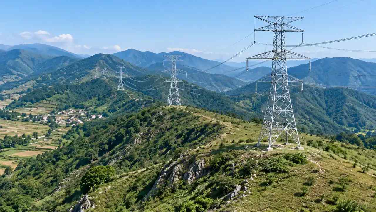
It shows what the map data shows, which may include visible towers and corridors. It does not know voltage, ownership, or capacity. Confirm those details with the utility before a route is treated as available. The map is a starting point, not a record. A visible tower is a prompt to call, not a corridor on file.
FAQ-4 Can it support a community meeting?
Yes, as a way to show what a yard would look like from a nearby street. Keep the scene honest about its limits and avoid implying that the choice is final. A clear view of the buffer often does more for the conversation than a slide of criteria. The scene does not decide anything, and saying so helps.
Content and technical notes
This article was prepared by the GenAnywhere team with AI-assisted drafting and human review.
Product features, formats, and availability change as the platform evolves; refer to the official GenAnywhere website for current details.
For technical questions or corrections, contact support@genanywhere.com.
Last reviewed: 2026-11-13.