
Camp Washington zoning: what residents should see, GenAnywhere
How a neighborhood group can turn a zoning map into a conversation about buildings
Zoning maps are precise about boundaries and vague about consequences. A resident can see that a parcel changed from one district to another without understanding what that change would look like from the sidewalk. A 3D site model does not settle the policy question, but it can show the physical difference a district change would make.
1 What zoning conversations miss
Most zoning meetings revolve around a map with colored parcels and a table of allowed uses. That format answers legal questions well. It answers everyday questions poorly.
1.1 The map is not the neighborhood
A zoning map does not show the height of the building next door, the width of the alley, or the fact that a loading dock faces a playground. Residents carry those details in their heads, and they often struggle to connect them to a district boundary. The gap between the map and the street is where trust erodes.
It also makes public comment harder to give. A resident who cannot describe the physical effect of a standard is left with a yes or no, while a developer arrives with a rendering. The imbalance is not about expertise; it is about tools.
1.2 Why residents need a 3D view
A 3D view lets a resident point at a corner and ask what would change there. It also lets a planner show the difference between a two-story building and a four-story building on the same lot. That comparison is difficult with a table of dimensional standards.
2 Camp Washington's mix of uses
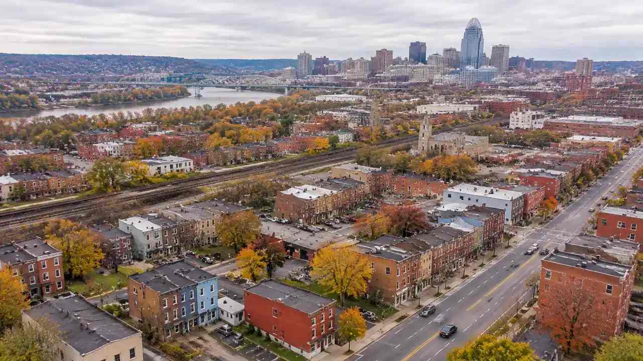
Camp Washington sits close to the center of Cincinnati, with a long history of industry, rail, and working-class housing. That mix is the source of both its character and its zoning conflicts.
2.1 Housing beside industry
Houses and workshops often share a block, separated by a fence, an alley, or a narrow strip of pavement. A change in allowed use can put a louder or taller activity next to a home. Residents want to see how a new building would sit against the existing fabric.
2.2 Streets, rail, and the hillside
The neighborhood is shaped by rail lines, Mill Creek, and the rise of the ground toward the surrounding hills. Those features limit where buildings can go and where trucks can turn. A terrain view helps residents explain constraints that are obvious on foot but invisible on a zoning map.
It also shows where a steep grade would make a driveway or a loading area difficult. Those details rarely appear in a district schedule, but they shape what can be built on a lot. Residents who know the block can point them out and make the model more accurate.
3 Showing existing conditions
Before a community can discuss a change, it needs a shared picture of what is there now. Existing conditions are the baseline that keeps the conversation honest.
3.1 What the model can show residents
GenAnywhere builds an editable 3D site model from an area selected on a map, using satellite and map data. It identifies building footprints, estimates heights, infers building types, and reads surrounding vegetation. Terrain, water, buildings, and vegetation are separate layers, so a group can show the street, the rooftops, or the tree canopy as needed.
The model can be previewed in the browser and exported as GLB for 3D, BIM, GIS, or game engine workflows. A community group can use it to prepare simple views for a meeting or a newsletter. The model is a planning aid, not a survey product, and it does not carry survey coordinates.
3.2 Building a block-level view
Start with one block, not the whole neighborhood. A block is small enough to review in a single meeting and large enough to show the relationships that matter. Look at the street edge, the rear yards, and the transition to any industrial use.
A block-level model also makes it easier to check the model against reality. Residents can walk the block and mark what is wrong, which improves the scene and builds confidence in the process. Corrections are easier to make while the area is small.
4 Comparing a zoning change
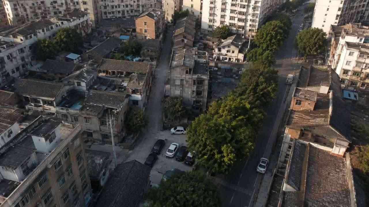
A zoning change is a legal instrument, but its effect is physical. The model can help residents see the physical side without pretending to interpret the code.
4.1 Testing allowed height and massing
Place a simple mass at the maximum height the district would allow and look at it from the street. Then place a mass at the height of the existing buildings. The difference is often more dramatic than the numbers suggest, especially on a narrow lot.
A group can test two or three massing options for the same parcel. The exercise does not predict what a developer will build. It shows the range that the code would permit, which is the part residents need to understand.
A simple before-and-after pair is often enough. Show the existing block, then show the same block with one study mass added. Residents can react to the change without reading a dimensional table, and the planner can explain which standard produced the shape.
4.2 What the model cannot say about the code
The model cannot tell you whether a use is permitted, whether a variance is needed, or how a board will interpret a standard. Those questions belong to the zoning administrator and the adopted code. A model that appears to answer them can mislead a community.
Keep the code conversation separate from the model conversation. Use the model to ask better questions, then take those questions to the people who administer the code. That division keeps the discussion accurate.
5 Making a community meeting useful
5.1 A short agenda
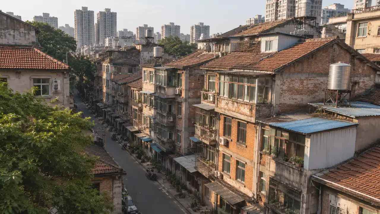
Open with the existing block, then show one proposed change, then leave time for questions. A meeting that tries to cover the whole neighborhood in one night will exhaust everyone and settle nothing. A focused agenda respects the time residents give up.
Showing the same view at the start and the end helps. Repetition gives people a chance to absorb what they saw and to revise their reaction. A single image flashed on a screen rarely changes a mind.
5.2 Recording questions and corrections
Assign one person to write down questions and another to note corrections to the model. Those notes become the agenda for the next meeting and a record of what the group has learned. The American Planning Association publishes guidance on community engagement that can help structure that record.
Keep the notes public and simple. A shared document with dates and names is more useful than a polished report that arrives too late to influence the decision. Residents should be able to see their own questions in the record.
Note which questions the city has answered and which remain open. A visible list of open items gives the group something to follow up on and discourages the feeling that public comment disappears after the meeting.
6 Keeping residents in the conversation
6.1 When a model helps
A model helps when the question is about height, bulk, access, or the relationship between buildings. It is also useful for showing residents that a proposed change is smaller or larger than they imagined. That correction can calm a meeting or sharpen an objection, and both outcomes are better than confusion.
GenAnywhere fits the early, explanatory part of that work. A community group can select an area, review the layers, and export a file for a volunteer who knows 3D tools. The model does not require a GIS license or a planning degree to open, which keeps the barrier low for a volunteer group.
6.2 When to ask for professional review
Ask for professional review when the question turns to code interpretation, traffic, drainage, or structural safety. A planner, engineer, or attorney can address those issues with the authority the model lacks. The model can organize the conversation, but it cannot provide the answer.
6.3 A next step
Pick the block where the change is proposed and build a model of the surrounding streets. Open GenAnywhere, select the area, and use the workflow to prepare views for the next community meeting.
7 FAQ
FAQ-1 Does GenAnywhere show zoning districts?
No. Zoning districts come from the city's adopted map and code, and they should be reviewed in the city's own system. GenAnywhere shows the physical scene: buildings, terrain, water, and vegetation. A community group can use the model alongside the zoning map for residents, but the map remains the legal reference.
FAQ-2 Can residents see proposed buildings?
Yes, at a conceptual level. A simple mass can be placed on a parcel to show the height and bulk that a district would allow. It does not represent a specific developer's design, and it should be labeled as a study mass rather than a proposal to the group at a meeting.
FAQ-3 Is the model official?
No. It is a planning aid built from map and satellite data, with estimated heights and inferred building types. It is not a survey, a permit drawing, or an official record. Residents should treat it as a way to understand the block, not as evidence in a legal proceeding or a record of title.
FAQ-4 How can a community group start?
Choose one block and one question, such as how a new four-story building would sit beside existing homes. Build a small model, review it with a few residents, and correct what is clearly wrong. Then bring the corrected view to a larger meeting and ask the city to respond to the specific questions it raises.
Content and technical notes
This article was prepared by the GenAnywhere team with AI-assisted drafting and human review.
Product features, formats, and availability change as the platform evolves; refer to the official GenAnywhere website for current details.
For technical questions or corrections, contact support@genanywhere.com.
Last reviewed: 2026-11-07.