
Data center permit review in Texas: where GenAnywhere fits
A generated site model can answer the neighborhood questions that arrive before the engineering does.
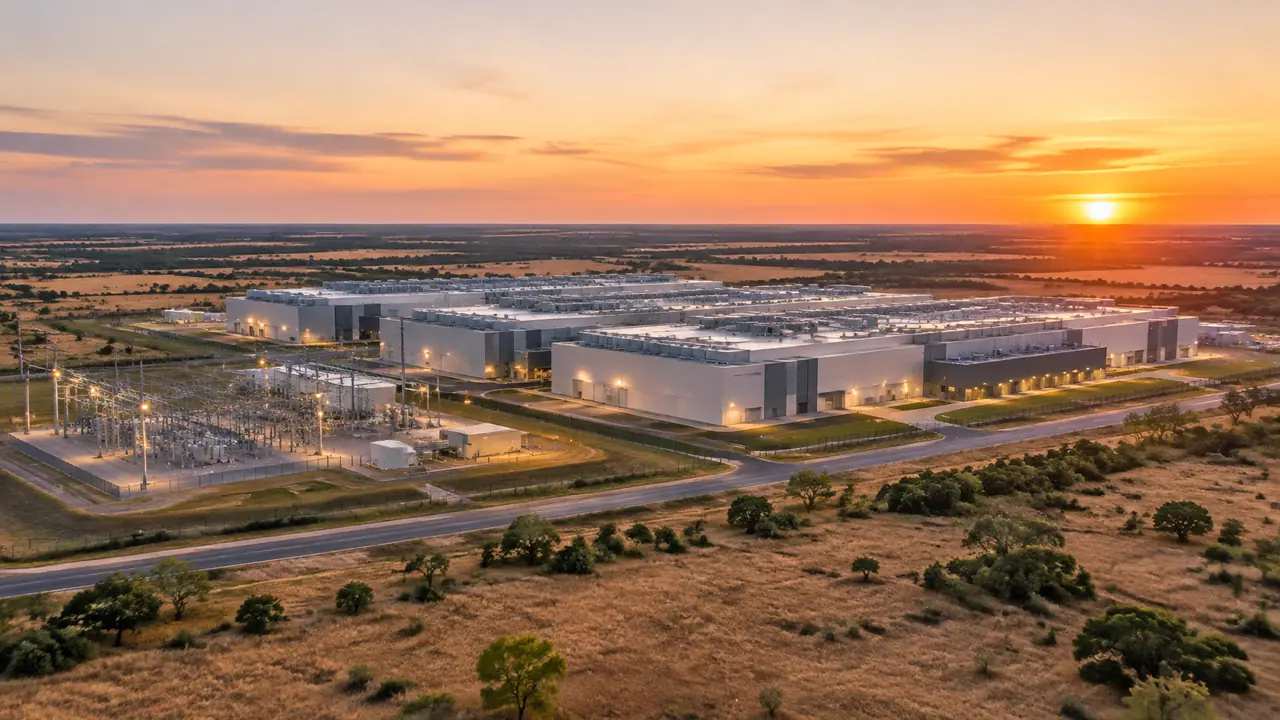
A data center permit review in Texas moves through several rooms at once: county commissioners, state environmental staff, utility planners, and the people who live on the road. Most of the early questions are about the site itself. A generated 3D model of the parcel and its surroundings can put those questions on common ground without pretending to settle the legal ones.
1 What a Texas data center review covers
1.1 Separate county, state, and utility questions
A data center is not approved by one office. Counties handle subdivision, roads, and some drainage questions. The Texas Commission on Environmental Quality reviews air authorizations and certain water and waste issues. Utilities decide whether the site can be served, and emergency services judge whether they can reach it.
Each room asks for a different document. A county may want a site plan and a traffic letter. A state reviewer may want emissions data and a stormwater plan. A utility may want load projections and a construction schedule. None of those asks disappear because a project has a nice rendering.
1.2 Find the issues a site model can inform
A site model speaks to geometry. It shows where the building sits, how the land falls, what neighbors see, and where trucks would enter. Those are real review questions in every county, and they surface long before the electrical design is finished.
It will not answer the legal ones. Zoning, platting, tax agreements, and environmental permits depend on statutes, local rules, and professional findings. Keep the model in the geometry lane and let counsel and licensed engineers handle the rest.
2 The site questions that arrive early
2.1 Terrain, drainage, and floodplain edges
Data halls want flat pads. Texas ground rarely cooperates. A parcel may rise twenty feet from the road to the back fence, or fall toward a creek that carries stormwater from half the county. The pad location decides how much cut and fill the project needs and where the stormwater will go.
Floodplain edges matter for the same reason. A building can sit outside a mapped floodplain and still depend on an access road that crosses it. The model shows the fall of the land and the shape of the drainage, which helps a team ask better questions of the surveyor and the drainage engineer.
2.2 Neighbors, screening, and access
Neighbors react to what they can see and hear. A row of houses may face the blank wall of a data hall, or a pasture may buffer the site for a mile. Screen walls, berms, and evergreen rows change that relationship, and their height and placement are visible in three dimensions.
Access belongs in the same conversation. A site on a farm-to-market road may need turning lanes and a longer driveway. A site beside a subdivision may draw complaints about truck traffic at shift change. The model shows the surrounding street pattern, the nearby homes, and the distance between them.
3 Where GenAnywhere helps a review file
3.1 Generate the surrounding site from a map
GenAnywhere starts with a map selection. The platform generates an editable 3D site model from satellite and map data, identifying building footprints, estimating heights, inferring building types, and analyzing vegetation. Terrain, water, and vegetation are matched automatically.
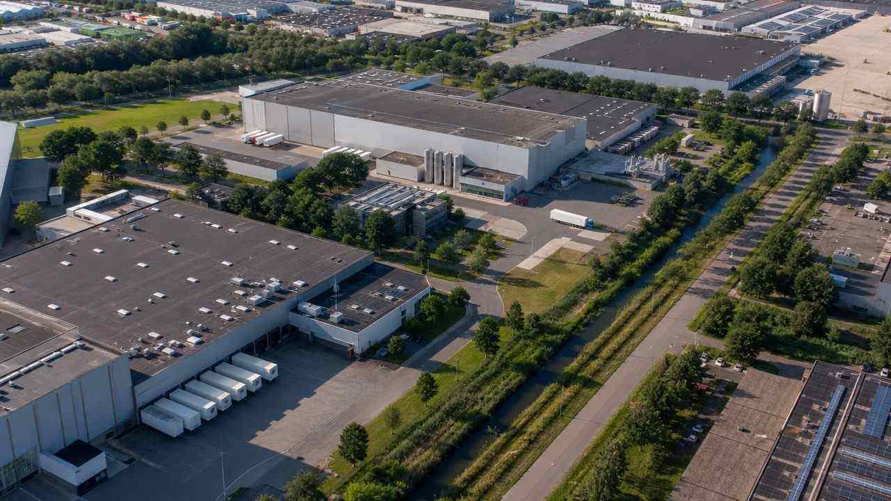
For a data center permit review, that gives staff and applicants a shared picture of the neighborhood. The model shows the existing homes, barns, sheds, and tree lines around the parcel. It also shows the roads and creeks that shape access and drainage, which are the details residents tend to raise.
3.2 Test massing before the application is fixed
Buildings sit on their own layer. You can replace a single building, move or rotate it, adjust its height or type, and preview the result before export. A data hall can be tested at two heights. A generator yard can move behind a berm. A parking field can shift away from a property line.
That flexibility is useful before a site plan is frozen. Two massing options on the same ground let the applicant and the county discuss specifics: which wall faces the neighbors, where the mechanical yard sits, and how much screening the scheme needs.
The platform generates terrain, water, vegetation, and building volumes. It does not generate cooling systems, generators, substations, fiber routes, or detailed architecture. Those arrive from engineering models and are added in a downstream tool.
The model is also a snapshot. Imagery may lag behind a new subdivision, and building heights are estimates. It is a context tool for review conversations, not a survey product, a construction document, or a permit exhibit on its own.
4 Building a review packet people can follow
4.1 Keep one base model for every sheet
A review packet works when every drawing agrees. One base model of the parcel and its surroundings can supply the same terrain, the same neighbors, and the same viewpoints for the site plan, the screening study, and the access sketch. Staff spend less time reconciling versions.
Keep the camera positions fixed as well. A view from the county road, a view from the nearest house, and an overhead view cover most questions. When a packet uses the same three views for every option, readers can compare without hunting for the difference.
4.2 Show alternatives, not just the preferred plan
Counties and residents both benefit from seeing what was rejected. Two site layouts, each drawn on the same base, make the trade-offs visible. One may preserve more trees. The other may move trucks away from a school bus stop.
The point is not to stage a contest. It is to show that the applicant studied the ground and made choices. A short written note on why the preferred layout won does more than another rendering.
5 Working with utilities and emergency services
5.1 Coordinate power and water early
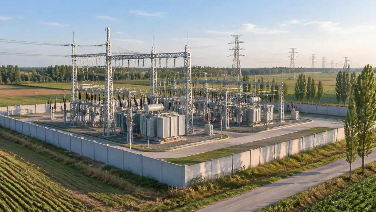
A data center can be a large electrical load, and the utility's answer shapes the site. Transmission capacity, substation location, and the route of new lines are utility questions. Water for cooling and wastewater disposal are separate questions with their own reviewers.
The site model cannot answer any of them, but it can host the conversation. Show the substation, the proposed line route, and the water connection on the same ground as the buildings. Staff can then see which neighbors the infrastructure would affect.
5.2 Plan access for trucks and response vehicles
Construction brings heavy trucks. Operation brings staff cars, service vans, and fuel deliveries. Emergency services want a route that works in bad weather and a site they can reach without crossing a drainage ditch.
A model that shows the access road, the gate, and the turning area helps the fire marshal and the county engineer test the layout together. It also lets a resident see whether trucks would pass a bedroom window or a front porch.
6 What to settle before a hearing
6.1 Walk the parcel and correct the model
Every generated model rests on assumptions. A barn may be gone. A new house may stand where the imagery shows pasture. A creek may have moved after a flood. Walk the parcel and the road frontage, and correct what the model got wrong.
Talk to adjacent owners about planned changes. A quiet field may be under contract for housing, which changes the screening question. A shared driveway may already serve three parcels. The model should reflect what the ground says, not what the satellite saw two years ago.
6.2 Decide what goes to counsel and engineers
Some questions need a lawyer or a licensed professional. Setbacks, platting, tax agreements, air permits, and drainage design are not model questions. Assign them early, and keep the model out of documents where it could be mistaken for a technical finding.
A simple rule helps. If the answer depends on a statute, a test, or a stamped drawing, it belongs to a specialist. If it depends on where a building sits and what a neighbor sees, the model can help.
6.3 Prepare the public summary
A public meeting needs one clear picture and a short list of open questions. The picture can come from the shared base model. The list should name the studies still underway, the agencies still reviewing, and the decisions the county has not made.
That summary does more for trust than a promise. It tells residents what the project can show today and what it cannot. It also gives the county a record of what was presented and when.
7 FAQ
FAQ-1 Does GenAnywhere decide whether a data center permit is approved?
No. GenAnywhere generates a 3D site model for context and comparison. Permit decisions rest with counties, state agencies, utilities, and the professionals who prepare the required documents. The model can show massing, terrain, access, and nearby buildings, but it does not interpret local rules, issue findings, or replace legal and engineering review.
FAQ-2 What Texas-specific issues can the model help explain?
It can show terrain and drainage patterns, the edge of a mapped floodplain, the distance to neighboring homes, and where trucks would enter and leave. Those are common concerns in Texas county reviews. Air permits, water rights, wastewater service, tax abatements, and grid interconnection remain separate questions for the responsible agencies and utilities.
FAQ-3 How current is the imagery behind the model?
The model reflects the satellite and map data available when the area was generated. New subdivisions, cleared lots, and recent construction may be missing. Treat it as a snapshot for early discussion, verify conditions on the ground, and regenerate closer to a hearing if the area is changing. A current aerial photo from the county can help until then.
FAQ-4 Can the export be used in GIS or design software?
The export is a general GLB, and the tutorials cover ArcGIS Pro, GISBox, Revit, Rhino, SketchUp, Blender, Unreal Engine, and Unity. Import behavior varies by tool, and a large site may need splitting. The file carries geometry and materials, not engineering data or survey coordinates. Ask the design team to test one import before the full site moves.
Content and technical notes
This article was prepared by the GenAnywhere team with AI-assisted drafting and human review.
Product features, formats, and availability change as the platform evolves; refer to the official GenAnywhere website for current details.
For technical questions or corrections, contact support@genanywhere.com.
Last reviewed: 2026-11-22.