
Transmission tower generation: how GenAnywhere starts a line
A line study begins with the ground it has to cross; the towers themselves come later, from the electrical design.
GenAnywhere does not generate transmission towers. It generates the corridor a line would cross: terrain, water, vegetation and the buildings in the way. That makes it a starting point rather than a finished route, which is how most line work actually begins, with a landscape question before any structure is committed to a position.
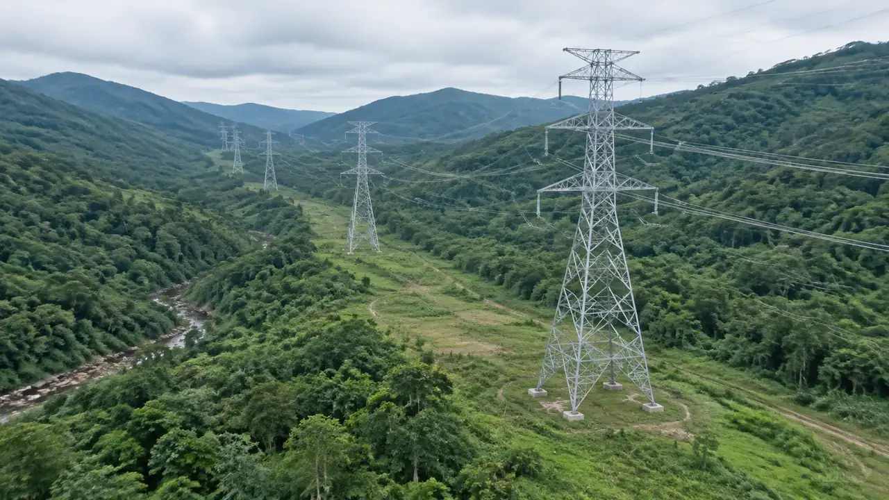
1 Where a line study starts
1.1 The corridor before any tower exists
An empty corridor is a useful thing to look at, because it shows the constraints without suggesting an answer. Ridges that a route would follow, valleys it would cross, a village it would pass, a forest block it would cut through: all of that is legible before a single structure is placed. Teams that start with towers on screen tend to argue about positions. Teams that start with the ground tend to agree on the corridor, and the positions follow from that agreement.
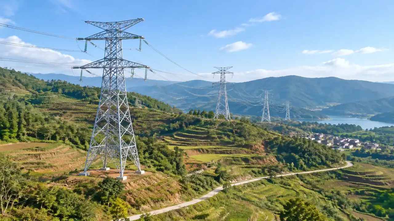
1.2 Reading terrain along a proposed route
The terrain layer shows the shape a route has to work with, which is the thing a line engineer wants to see before anything else. Where the ground rises steeply, a structure is harder to build; where a valley opens, a longer crossing becomes possible. None of that is a design decision, and the scene does not make one. It narrows the conversation to the sections that deserve attention, which is a real saving on a route that runs for tens of kilometres and a real relief for a team that has been arguing about the whole of it.
2 What the platform supplies to that start
2.1 Ground, water and vegetation along the route
The generated scene carries the ground surface, water bodies and the vegetation the analysis can see. On a line corridor, water matters for crossings and for access, and vegetation matters because a route through mature woodland is a different proposition from one across pasture. Both can be shown or hidden as layers, so a review can move between the landform and the land cover. That switch is often the quickest way to explain why one section is difficult and another is not.
2.2 Buildings and land use in the corridor
Buildings arrive as volumes with estimated heights and inferred types, taken from footprints in the map data. Along a corridor that means farmsteads, industrial sheds, houses at the edge of a village and the occasional larger block. They are editable, so a building that has been demolished or replaced can be corrected before the review. Getting those right matters more than usual on a line study, because a single building in the wrong place can dominate a corridor discussion, and a building that no longer exists can be cited in support of a route that avoids nothing.
3 Where towers come from
3.1 Tower geometry and spotting from the line design
Tower types, heights and positions are electrical design decisions, made with structural and electrical criteria the platform does not hold. Geometry usually comes from a standard library or from the line designer. The scene's job is to show the ground those decisions land on, and to make the consequences visible to people who do not read alignment drawings. That division keeps the review honest: the corridor is context and the structure is design, and nobody in the room has to pretend otherwise.
3.2 Placing towers without redesigning them
When towers are placed in the same environment as the scene, keep them at the dimensions the design supplies and move the camera instead. A tower scaled by eye to make a picture look better is a picture that misleads the next person who opens it. Place a handful of representative structures to start with, enough to show how the line reads across a valley, then add the rest when the discussion turns to a specific section. That order also keeps the session from dissolving into a debate about tower families. Fewer, correct structures beat many approximations.
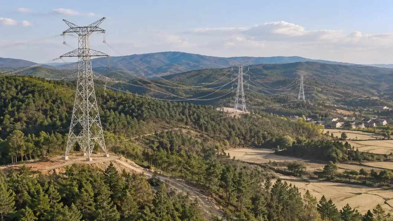
4 Limits at the start of a line
4.1 No electrical, structural or route work
The platform does not design a route, calculate spans, check sag or verify structural and electrical requirements. It does not assess vegetation growth against a conductor over time, and it does not produce anything that could be submitted as a route study. The scene shows the corridor as it was captured, not as it will be at commissioning. Those tasks need the line design, the survey and the engineering team, and they usually take longer than the corridor study that precedes them. Saying this at the start of the session is more useful than defending it afterwards. Bodies such as IEEE publish technical material behind those calculations.
4.2 Imagery date and new corridors
A corridor that has been cleared since the imagery was captured will still look wooded in the scene, and a track built for construction will be missing entirely. Check the date for the area before the review and mention it where the scene is shown. On a line study the error compounds, because a whole section can be out of date at once. Ask the project team which sections have changed on the ground, and mark those sections in the note that travels with the images. A section flagged as out of date is easier to discuss than a scene quietly presented as current, especially with an audience that knows the ground.
5 Working through a route review
5.1 A sequence along the corridor
Show the corridor in one wide view, then walk through it section by section in the order the route runs. That order matches how people travel the line and how they remember it, which makes the review easier to follow than a set of disconnected viewpoints. Name the sections as you go, using landmarks rather than coordinates. If a section needs a closer look, take it in the same sequence rather than jumping back, so the audience keeps its place.
5.2 Layer views for land use
Hiding vegetation shows the landform and the ground under a wooded section; hiding buildings shows the corridor without the settlements competing for attention. Moving between those states during a review answers different questions without rebuilding the scene. Keep a note of which state each screenshot used, because a corridor with the buildings hidden can look far emptier than the place the team will visit, and that impression tends to survive into the minutes. The platform overview lists the content behind each layer.
Open the GenAnywhere app and start a line corridor
6 Handover
6.1 Corridor extents and segment names
A long route rarely fits one scene well. Record each extent generated, the segment it covers and the landmark at each end. Segment names that match the project's own naming save everyone time, and they make the images findable months later. If the route changes, the names let the team keep the sections that still apply and regenerate just the ones that moved, which is cheaper than starting again.
6.2 What the export carries
The GLB holds the corridor: terrain, water, vegetation, existing buildings and any edits made before export. It does not hold towers, conductors or foundations. Line teams use it as the ground for their own structures, and planning teams use it for context images. Test the file in the receiving tool and note the imagery date, since a corridor that has been cleared since the capture will arrive still wooded.
6.3 Which team adds the structures
Agree who places the towers before the review, because it is not a job that belongs to the site model. Sometimes the line designer supplies a full set; sometimes a single representative structure is enough for a public meeting. Naming that owner in the handover avoids a file being passed around while everyone assumes someone else will add the structures. The scene is complete without them, as long as everyone knows what is missing and who is bringing it.
7 FAQ
FAQ-1 Does GenAnywhere generate transmission towers?
No. Towers, conductors and foundations are design assets supplied by a line designer or a component library. The platform generates the corridor they would stand in: terrain, water, vegetation and buildings. Teams place structures in the same environment or in the receiving tool after export. Treat the scene as the ground a route must cross rather than as a model of the line itself.
FAQ-2 Can I check span length or sag in the scene?
No. Span calculations depend on conductor data, tension, structure types and the profile between two supports, and the scene holds none of that. It shows the ground a span would cross, which helps a team decide where a span is worth calculating. Keep the calculation with the line design and use the scene to explain the result to people who do not work in that tool.
FAQ-3 Do existing lines appear in the model?
Not as structures. The corridor a line runs through may show as a break in the vegetation where the imagery captures it, and the pylons themselves are not generated content. If an existing line matters to the review, place representative assets for it as you would for the proposed one. Check the imagery date as well, since a line built recently may leave no visible trace at all.
FAQ-4 What does the export give a line team?
A GLB with the corridor context: terrain, water, vegetation, buildings and any edits. It does not include towers or conductors, and it carries no electrical data. Line teams use it as a ground reference for their own route work, and communication teams use it for images. Test the file in the tool that will open it, and pass on the segment names used in the review.
See how a corridor becomes a shared line reference
Content and technical notes
This article was prepared by the GenAnywhere team with AI-assisted drafting and human review.
Product features, formats, and availability change as the platform evolves; refer to the official GenAnywhere website for current details.
For technical questions or corrections, contact support@genanywhere.com.
Last reviewed: 2026-11-13.