
Drone hub site plan review in Nampa, modeled in GenAnywhere
What local reviewers look at when a new aviation use arrives on a familiar parcel.
A drone hub site plan asks a local planning department to review a use that is still new to many codes. The questions are familiar: access, setbacks, screening, and compatibility with neighboring parcels. A 3D site model helps the applicant and the reviewer look at the same arrangement and separate local land use issues from airspace rules.
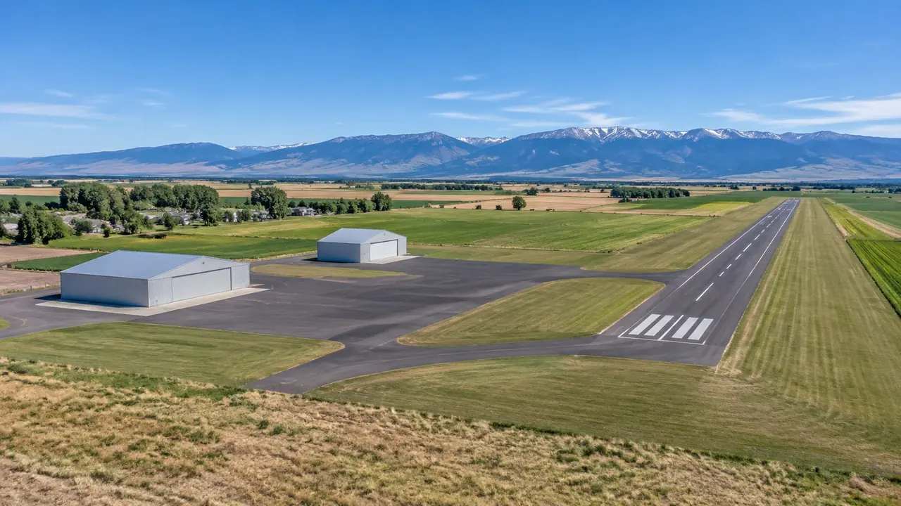
1 What a drone hub application asks reviewers
1.1 Land use, setbacks, and access
A drone hub combines aviation functions with ordinary industrial site needs. There are pads or launch areas, storage for equipment, a control space, parking, and a route for vehicles. The local code may not name the use, so the reviewer has to map it onto existing categories and apply the standards that come with them.
Setbacks and access are the usual starting points. How close can the operation sit to a property line, and how do vehicles enter and leave without disrupting the street. Those are questions a site plan can answer, and they are the ones a planning commission will ask about.
1.2 Questions a site plan should answer
A good site plan shows the arrangement clearly enough that a reviewer can find the pads, the buildings, the parking, and the access route without a verbal tour. It should also show what surrounds the site, because compatibility depends on the neighbors as much as on the proposal.
Many plans fall short on that second part. They show the parcel in detail and the context as a thin outline, which makes it hard to judge how the operation will be experienced from the street or the adjacent lot.
2 Put the site in its surroundings
2.1 Map the parcel and neighboring uses
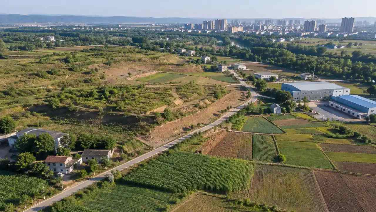
GenAnywhere builds an editable site model from an area drawn on the map, with buildings, terrain, and vegetation as separate layers. For a review, the useful step is to include the neighboring parcels. A warehouse, a field, and a row of homes each respond differently to a new aviation use.
The model will not tell you which category a neighbor belongs to. That comes from the zoning map and the staff report. What the model adds is a view of how the uses sit together and where the proposal will be visible.
2.2 Mark the edges that matter
Not every boundary carries the same weight. The edge along a residential street, the corner near a school bus stop, and the side that faces open land each raise different questions. Mark those edges in the scene and use them as the places to compare layouts.
Seeing the edges also helps the applicant. A layout that works from the air may leave a storage yard exposed to the nearest home, and a simple shift can reduce the exposure without changing the operation.
3 Test layout options for the hub
3.1 Place pads, storage, and access as blocks
Represent each part of the operation as a block: the launch area, the equipment storage, the control building, the parking, and the access drive. The shapes can be simple. What matters is that the pieces occupy realistic areas and sit in the places the plan proposes.
A blockout at this level is enough to test the arrangement. It shows whether the pieces fit, whether the access route reaches everything it needs to serve, and whether the site has room to grow if the operation expands. It also gives the reviewer a way to point at a specific gap instead of describing a concern in general terms.
3.2 Compare two arrangements
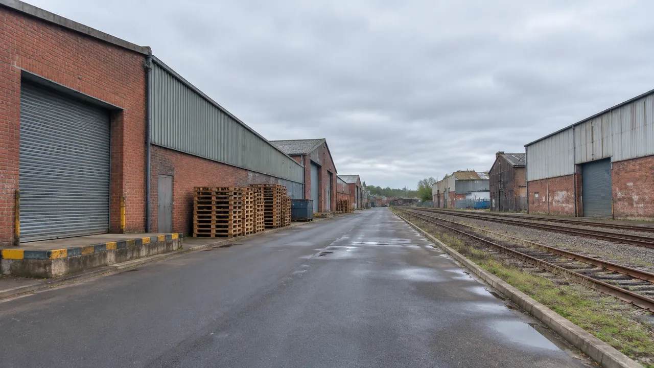
Most sites can hold more than one layout. Test a compact version and a spread out version, or compare a layout with the storage at the front against one with it at the rear. Look at each from the nearest neighbor and from the road, and note which version reduces the friction.
The comparison does not identify a winner. It shows the trade-offs, and those trade-offs are what the applicant and the reviewer need to discuss. A plan that is better for the neighbors may be worse for operations, and the conversation should acknowledge both.
4 Keep the review grounded
4.1 Separate local review from airspace rules
Local land use review and federal airspace regulation are different processes. A city or county can decide whether a use fits its zoning, while airspace questions sit with the Federal Aviation Administration. A site model can support the land use conversation, but it does not address airspace.
The Federal Aviation Administration publishes guidance for unmanned aircraft operations, which is the place to look for the rules that apply to flying. Keep that material separate from the site plan review, and be clear in the staff report about which questions belong to which process.
4.2 Show what the plan leaves open
A site plan often leaves details for later, such as the exact position of a fence or the final landscaping. Those gaps are normal, but they should be visible. A model can show the assumed areas and mark them as provisional, so the reviewer knows which parts of the plan are settled.
That honesty helps the applicant too. A reviewer who understands what is still open is less likely to assume the worst, and the conditions of approval can address the open items directly.
A phasing note can carry the same information. If the operator expects to add pads or storage later, show the future area as a dotted outline or a separate version. Reviewers can then see the build out without mistaking it for the current application.
5 What a model cannot decide
5.1 Noise, operations, and safety cases
A drone hub may raise questions about noise, frequency of flights, and safety. Those questions require operational information and, in some cases, a separate analysis. A site model shows where the activity would occur, not how often or how loud it would be.
If the review depends on those answers, ask the applicant for an operations plan. The model can illustrate where the activity is concentrated, which helps the discussion, but it cannot substitute for the operational detail.
5.2 Utilities and drainage
Water, sewer, power, and drainage are part of the site plan review, and they depend on information that a surface model does not contain. A pad may look fine in the scene and still fail a grading check. Keep the utility and drainage questions with the civil drawings.
The same caution applies to fire access. A route that appears wide enough in a massing scene may not meet the turning requirements in the code. Confirm those dimensions with the applicant's engineer.
6 Prepare a submittal package
6.1 Choose views a reviewer can read
A submittal does not need a dozen images. Three views often carry the case: the approach from the public road, the edge nearest the most sensitive neighbor, and an aerial that shows the arrangement of the whole parcel. Each one should answer a question the reviewer is likely to ask.
Make sure the views are labeled with the direction and the date. A reviewer who can place the image quickly will spend more attention on the content.
6.2 Label assumptions
State the size of each pad, the height of the storage, the width of the access drive, and the source of the base data. The numbers do not need to be exact, but they should be honest. A note that says the pad dimensions are provisional is better than a precise looking figure with no basis.
6.3 Export for the applicant's designer
When the review is complete, export the scene as GLB so the applicant's designer can bring it into their own software. That gives the project a common base for the next round of drawings and reduces the chance that the approved layout is redrawn from scratch.
To test a hub layout on a parcel in your area, open the GenAnywhere app and model the site with its neighbors before placing the pads. The platform workflow overview explains how a scene moves from map selection to export.
7 FAQ
FAQ-1 Can the model show takeoff and landing areas?
Yes, the pads and launch areas can be represented as simple surfaces or volumes at the size the applicant proposes. That shows how much of the site the operation occupies and how the pads relate to parking, storage, and the property line. The model does not calculate flight paths or safety zones. Those belong to the operations plan and the applicable federal rules.
FAQ-2 Does the model address FAA airspace rules?
No. Airspace regulation is a federal matter, separate from local land use review. The model can show where the site sits and how the operation would occupy the ground, but it does not evaluate airspace, flight corridors, or operating limits. Consult the FAA's unmanned aircraft guidance for those questions, and keep the two processes distinct in the staff report.
FAQ-3 Can a small city use this for a pre-application meeting?
Yes. A pre-application meeting is a practical place to look at the site together, before the applicant invests in detailed drawings. Staff can show the parcel in context, point to the edges that will draw comments, and discuss which layout questions need answers. The scene does not replace the application, but it can make the initial conversation more productive.
FAQ-4 Does a site model approve a conditional use permit?
No. A model is a visual reference, not a decision. Approval depends on the applicable code, the complete application, and the judgment of the deciding body. The model can help staff and neighbors understand what the proposal would look like and where it might conflict with surrounding uses. It supports the review without determining the outcome.
Content and technical notes
This article was prepared by the GenAnywhere team with AI-assisted drafting and human review.
Product features, formats, and availability change as the platform evolves; refer to the official GenAnywhere website for current details.
For technical questions or corrections, contact support@genanywhere.com.
Last reviewed: 2026-11-12.