
Inclusionary zoning review: a Boston site method with GenAnywhere
A practical way to read parcel geometry, overlay rules, and unit yield before a Boston filing
Boston's affordability rules rarely fail a project on principle. They fail on arithmetic and geometry. A parcel that looks generous in a broker flyer can lose a third of its unit yield to setbacks, slope, and the way an overlay stacks on the base district. Finding that gap before a filing costs less than finding it in a comment letter.

1 What the affordability policy asks of a Boston site
Boston applies its affordability requirement through an inclusionary development policy rather than a single citywide zoning section. The practical consequence for a site review is simple. You cannot discuss the affordable share until you know how many units the parcel can hold.
1.1 Read the overlay and the base district together
The base district sets use, height, and setback. The overlay adds the affordability term, and in some areas a bonus that changes the envelope. Reading one without the other produces optimistic numbers. A frequent error is to model the bonus height while ignoring the deeper affordability that comes with it. Another is to treat a neighborhood overlay as background when it carries design review of its own. Pull both documents, note which one controls when they conflict, and record the answer where the whole team can see it. The American Planning Association keeps plain-language guidance on how districts and overlays interact, which helps when the two disagree.
1.2 Map unit yield before anyone draws
Yield at this stage is a range, and that is fine. What matters is that every option uses the same assumptions. Start with gross floor area, subtract circulation and structure, then test two or three unit mixes against the result. A parcel that yields 24 units under a two-bedroom mix may reach 31 under studios and one-bedrooms. That spread moves the affordable count more than most design decisions. Write the range down before any massing sketch. The review will test the range, not the drawing.
2 Why lot geometry decides so much
Two parcels can carry the same zoning and produce very different outcomes. The difference usually sits in frontage width, corner conditions, and the direction of the slope. A narrow lot forces a single-loaded corridor. A wide lot allows a courtyard. Both can pencil, but they produce different unit types and different affordability math.
2.1 Setbacks, height, and the buildable envelope
Setback rules are easy to read and easy to apply wrongly. Front, side, and rear setbacks interact with height step-backs, and a shallow parcel can lose most of its upper floors to a step-back line that the flyer never mentioned. Draw the envelope in plan and in section before testing massing. If the parcel slopes, draw the envelope at both the high and low corner. A six-foot grade change can remove an entire row of units on the downhill side, and that loss compounds through the affordable calculation.
2.2 Transit proximity changes the review path
Projects near frequent transit often follow a different track, with different parking expectations and sometimes a different affordability term. Proximity is usually defined by walking distance, not by straight-line distance. A parcel that sits 900 feet from a station entrance but has no crossing at the obvious corner may not qualify in practice. Walk the route and time it. Then check which definition the policy uses. This is a case where the map and the sidewalk disagree, and the sidewalk wins.
3 A site walk that produces evidence
Review meetings reward specific observations. A sentence like "the alley is too narrow for service vehicles" lands better with a photo and a dimension. Build the walk around edges, because edges are where the design constraints hide.
3.1 Photograph edges and frontage conditions
Start at each corner and shoot along the frontage. Record curb cuts, fire hydrants, utility poles, mature trees, and the location of every driveway. These features set the rhythm of the ground floor and sometimes rule out a curb cut the traffic engineer assumed. Photograph the edges of adjacent buildings too. Window heights and party wall conditions tell you what the new building has to meet. Keep the images labeled by address and direction so the packet can be read without you in the room.
3.2 Record what the assessor data misses
City parcel data is a good starting point and a poor ending point. It may list a garage that was demolished, a lot line that was adjusted, or a grade that the elevation model smooths away. Check the assessor record against the sidewalk. Photograph retaining walls, exposed foundations, and any sign that the ground has been regraded. Those details change how a building sits and how stormwater behaves. An hour of field notes here saves a week of redesign later.
4 Comparing two parcels on the same terms
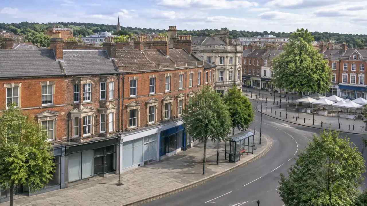
Boards and lenders respond to comparisons built on identical assumptions. The quickest way to lose credibility is to give one site a generous unit mix and the other a cautious one. Set the assumptions, then let the sites differ.
4.1 Build a block context for each option
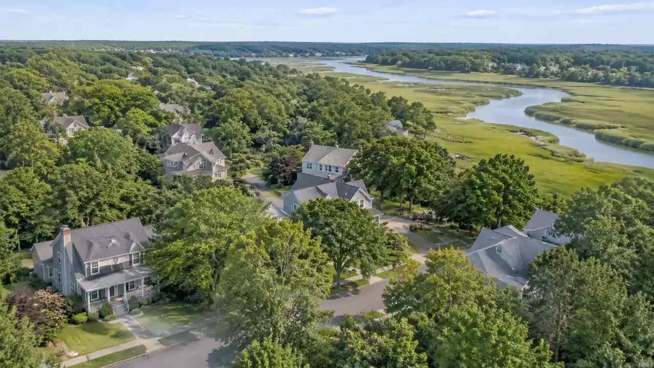
A parcel is not an island. Drop each site into a simple three-dimensional block context that includes neighbors, street widths, and tree cover. This is where GenAnywhere helps: select an area on the map and it generates an editable site model with building footprints, estimated heights, terrain, and vegetation. The point is not decoration. Seeing both parcels inside the same context exposes differences in daylight, access, and visibility that a plan view hides.
4.2 Test massing swaps before a filing
Once the context exists, swap massing options inside it. Move a bar, rotate a wing, and push height to the rear. Watch what happens to the courtyard, the street wall, and the shadow on the neighbor's roof. Each swap takes minutes rather than a redraw. Save the two or three options that survive, and name them clearly so the review can discuss option A against option B instead of arguing about a single scheme. A named set of options is easier to approve, reject, or amend.
5 Where a 3D site model fits, and where it does not
A site model supports judgment. It does not replace the zoning analysis, the survey, or the architect. Teams that treat it as a sketch tool get the most from it, because they keep asking the document questions the model cannot answer.
5.1 What GenAnywhere produces from a map selection
GenAnywhere builds a site from map and satellite data. It recognizes building footprints, estimates heights, infers building types, and reads surrounding vegetation. You can replace a single building, rotate or move structures, and adjust height and type. Buildings, terrain, and vegetation are separated into layers for preview and editing. When the scene is ready, you export a GLB file for downstream 3D, BIM, GIS, or game engine work. Exports carry a perpetual commercial license, though the terms restrict resale of source files and use for AI training.
5.2 Limits to state up front
Say plainly what the model is not. It is not a boundary survey, not a zoning determination, and not a substitute for current recorded plans. Heights are estimates, footprints can lag recent construction, and terrain is generalized. The model also cannot tell you whether a unit mix complies with the affordability term. Put those limits on the opening slide of the review packet. Reviewers trust a tool more when its author states the boundaries without being asked.
6 Assembling a review packet the board can follow
A good packet answers the questions a board will ask in the order they will ask them. It leads with site facts, names the uncertainties, and leaves design authorship where it belongs.
6.1 One page of site facts
Give each parcel a single page: area, frontage, zoning, overlay, existing use, and the unit range under stated assumptions. Add the walk distance to transit and the number of curb cuts. Keep the page free of renderings. Facts lead and images follow, because a rendering invites opinions before the facts are settled.
6.2 A short list of open questions
List what the review still needs: a boundary survey, a geotechnical opinion, a traffic count, or a ruling on which overlay controls. Assign an owner to each question and a date. A short list of owned questions reads as competence. A long list of general concerns reads as delay.
6.3 What to leave for the architect
The packet should stop at the envelope. Hand the architect the buildable volume, the unit range, the site constraints, and the open questions, then let the design work begin. When a review team designs the building in the meeting, the architect spends the next month undoing it. A clear handoff protects the schedule and the professional relationship.
Ready to test a Boston parcel against its neighbors? Open the GenAnywhere app and select the block. If you want to see how a map selection becomes an editable scene, walk through the workflow overview.
7 FAQ
FAQ-1 Is a 3D site model a substitute for a zoning analysis?
No. A site model shows geometry and context, while a zoning analysis interprets the code and the overlay. The model can show how much envelope a setback leaves, but it cannot decide which standard applies or whether a bonus is available. Use the model to frame the questions and the analysis to answer them. Keep the zoning memo separate and cite it in the review packet so the two documents can be checked independently.
FAQ-2 Can GenAnywhere calculate affordable unit counts?
No, and it should not be asked to. GenAnywhere generates and edits a site model, then exports it. The affordable count depends on the applicable policy term, the unit mix, and the gross floor area calculation, all of which sit outside the model. Teams usually run the count in a spreadsheet beside the model. That separation is useful because a policy change updates the spreadsheet without invalidating the scene.
FAQ-3 What should a Boston parcel review start with?
Start with the recorded lot, the base district, and every overlay that touches the parcel. Then add the walk distance to frequent transit and the field conditions along each frontage. With those in hand, build the envelope and test a unit range. This order matters because each step narrows the next. Beginning with massing usually means rebuilding it once the overlay and the field notes arrive.
FAQ-4 How do teams handle a parcel with split zoning?
Split zoning requires a line on the drawing before anything else. Map the boundary between districts, then test the envelope on each side separately. In many cases the stricter district governs the transition, and the setback from the zoning line behaves like an internal yard. A single massing study that ignores the line will overstate yield. Show both sides in one context so the review can see where the constraint binds.
Content and technical notes
This article was prepared by the GenAnywhere team with AI-assisted drafting and human review.
Product features, formats, and availability change as the platform evolves; refer to the official GenAnywhere website for current details.
For technical questions or corrections, contact support@genanywhere.com.
Last reviewed: 2026-11-17.