
Geospatial site data: five checks before export, GenAnywhere
A short pre-export routine for teams moving a site model into another tool
Exporting a site model is easy. Exporting one that behaves correctly in the next application takes a few checks. Most problems show up after the file has been shared, when a colleague opens it and finds a missing building, a shifted scene, or a layer nobody can identify.
1 Step one: confirm the area and boundary
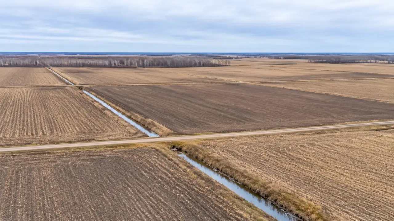
The selected area sets the edge of everything that follows. A boundary that is too tight cuts off a road or a building that the next team needs. A boundary that is too large adds weight without adding context.
1.1 Draw the smallest useful area
Start with the site plus the features that affect it: the access road, the neighboring buildings, the creek, and the tree line. Anything beyond that is optional. A compact area is faster to review and easier to explain.
It also keeps the file size down, which matters when a colleague opens the scene on a laptop. A wide area with low detail is often less useful than a tight area with the features that shape the decision.
1.2 Check the edge for cut-off features
Look along the boundary for buildings or roads that are half in and half out. A half building can confuse a viewer and create a false edge in the scene. Adjust the boundary or note the cut before export.
2 Step two: check the imagery date
Map and satellite data are not live. The scene reflects the source imagery available for that area, and the date can vary from one block to the next.
2.1 Where to find the date
Check the source information in the platform before you build. If the date is not visible, ask before you present the model as current. A date is part of the file's meaning, not a footnote.
Dates are easy to lose when a file moves between teams. Put the date in the file name or the handoff note so it survives the trip. A recipient who knows the age of the scene can judge how much to trust it.
2.2 What to do when the scene is stale
If the imagery predates a major change, rebuild the area or annotate the difference. A new building, a demolished structure, or a changed road can make the scene misleading. A short note in the file is better than a silent error.
If the scene is more than a season old and the site is active, plan a review with someone who has visited recently. A local contact can confirm whether a building came down or a road changed. That conversation is often faster than waiting for new imagery.
3 Step three: review each layer
A site model is a stack of layers, and each one needs a quick inspection. The goal is not perfection. It is to catch the obvious mistakes before someone else does.
3.1 Buildings, terrain, water, vegetation
Check the building footprints against the imagery. Look for missing structures, duplicates, and shapes that merge two buildings into one. Then check the terrain for a flat area that should slope, and the water layer for a channel that stops abruptly.
A quick orbit around the scene catches problems that a top view hides. Look for buildings that float above the ground, walls that lean, and vegetation that sits in the middle of a road. These are simple errors, and they undermine confidence quickly.
Vegetation is the layer people trust least, and they are right to be cautious. It is inferred from imagery, so a tree line may be thinner or thicker than reality. Label it as context, not as a survey of every trunk.
GenAnywhere keeps those layers separate in the browser preview, so a reviewer can hide vegetation and inspect the building footprints on their own. A single building can be replaced, moved, or re-typed when the source imagery is out of date. The edited scene then moves into a 3D, BIM, GIS, or game engine workflow through the export.
3.2 Fix what looks wrong
GenAnywhere lets a team replace a single building, move or rotate it, and adjust its height or type. That is enough to correct the errors that matter for a planning view. A team does not need to rebuild the whole scene for one bad footprint.
Keep a list of the edits you made. The next person who opens the file will want to know which parts are modeled and which are drawn from the source.
Layer names carry some of that information, so rename them before export. A layer called buildings is clearer than a list of object numbers. Clear names also make it easier to hide or isolate a layer during a review.
4 Step four: check position and scale in the target tool
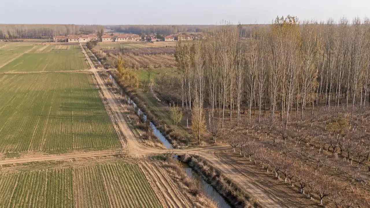
A model can look right in the browser and arrive in the wrong place in another application. The export is a geometry file, and the receiving tool decides how to interpret it.
4.1 Coordinate expectations
GenAnywhere exports a GLB model for 3D, BIM, GIS, and game engine workflows. It is a planning model built from map and satellite data, and it does not carry survey coordinates. If a project needs a specific coordinate system, that alignment belongs to the GIS or BIM team and its own controls. The GenAnywhere preview shows the scene before export, so a wrong area or a missing building can be caught while the edit is still cheap.
Say this plainly in the handoff note. A recipient who expects a georeferenced file will otherwise assume the model is wrong when it lands at the origin. Setting that expectation early prevents a long troubleshooting call.
4.2 Orientation and units
Check which way the model faces in the target tool. A scene that faces north in one application may face another direction after import. Check the scale against a known feature, such as a road width or a building footprint, before adding detail.
The OGC publishes standards information that helps teams use consistent language when they discuss spatial data. The vocabulary matters when a model moves between planning, GIS, and design teams.
Units are the other common mismatch. A scene that reads in meters in one tool may be treated as feet in another, and the error is easy to miss on a screen. Check a known distance before adding detail or sharing the file.
5 Step five: test the export before you share
5.1 Open the file in the target application
Import the GLB into the application the recipient will use, not a different one. Open it, orbit it, and check the layers. A file that works in one engine may behave differently in another.
Look for missing materials, inverted faces, or a scene that is too heavy to navigate. These issues are easier to fix before the file is attached to an email. A short test saves a long exchange.
Ask the recipient to open the file before the meeting, not during it. A two-minute check on their machine confirms that the scene loads and that the views you plan to show are available. It also gives them a chance to flag a missing layer while there is still time to fix it.
5.2 Keep a record of the version
Name the export with a date and a short description. Keep the source scene and the exported file together, along with a note about the imagery date and the edits. That record is what makes the next update possible.
A short handoff note can list the area, the imagery date, the edits, and the target application. It takes a few minutes to write and saves the next person from guessing. Keep the note with the file, not in a separate message that will be lost.
6 Making the export handoff reliable
6.1 When the five checks are enough
The five checks are enough for a planning review, a design workshop, or a scene blockout. They catch the errors that derail a conversation and leave the detailed work to the specialists. A team that runs them consistently will spend less time explaining surprises.
GenAnywhere supports that routine with a browser preview and a GLB export. A user can review the layers, make a few edits, and test the file before sharing it. The platform is not a GIS, and it does not try to replace one. It is a fast way to build the scene that the rest of the workflow needs.
6.2 When to ask a GIS specialist
Ask a GIS specialist when the project needs a specific coordinate system, a parcel overlay, or a dataset that must match an official record. Ask a BIM specialist when the model must align with a building model. Those tasks need controls that a planning scene does not provide.
6.3 A next step
Take one site you already know and run the five checks before the next export. Open GenAnywhere, select the area, and review the workflow for moving the file into your target tool.
7 FAQ
FAQ-1 Does GenAnywhere export georeferenced files?
No. It exports a GLB model built from map and satellite data, and it does not carry survey coordinates. A team that needs a specific coordinate system should align the model in a GIS or BIM environment with proper controls. Treat the export as a planning scene, not a survey deliverable.
FAQ-2 What is in the GLB?
The file contains the scene geometry: terrain, buildings, water, and vegetation, arranged as they appear in the preview. Materials and layer structure may vary by export. Open the file in your target tool to confirm what arrived before you build on it or share it with a client in your engine version.
FAQ-3 Can I export a smaller area?
Yes. Select a tighter area around the features you need, then rebuild and export again. A smaller scene is easier to review and noticeably faster to open. Keep the original selection if you may need the wider context later, and note which area each export covers for the next design review.
FAQ-4 How often should I rebuild the model?
Rebuild when the imagery changes, when a major building or road changes, or when the project moves to a new phase. There is no fixed schedule that fits every site. Check the imagery date at each handoff and decide whether the scene still supports the decision at hand and who will use it next.
Content and technical notes
This article was prepared by the GenAnywhere team with AI-assisted drafting and human review.
Product features, formats, and availability change as the platform evolves; refer to the official GenAnywhere website for current details.
For technical questions or corrections, contact support@genanywhere.com.
Last reviewed: 2026-11-07.