
Solar panel layout: how GenAnywhere arranges arrays
It does not arrange the panels. It arranges the ground, the boundaries and the buildings that a layout has to answer to.
GenAnywhere does not arrange panel rows. What it arranges is the ground a layout has to answer to: the fall of the land, the hedge on the boundary, the water at the low corner, the barns and the lane. Modules and racking are design assets placed later in another tool, so the scene's job is to get the constraints in the right order before anyone argues about pitch. That ordering sounds modest and saves a surprising amount of meeting time.
1 What arranging means for this platform
1.1 Putting the site in a readable order
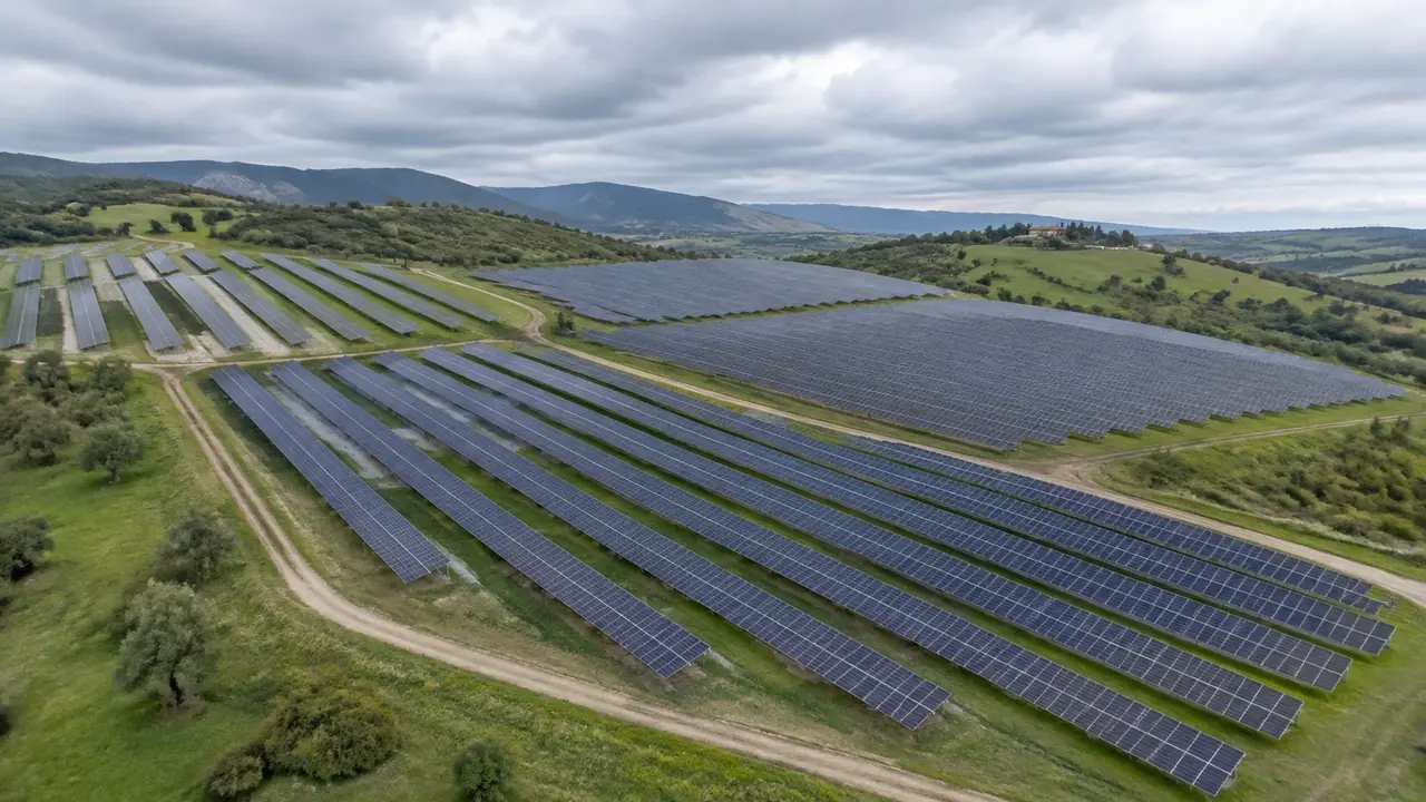
Arranging here means putting the site itself in a readable order. Terrain, water, vegetation and building masses are generated from map data and can be shown one at a time, so a reviewer sees the slope without the trees and the boundary without the buildings. That is the arrangement the platform performs, and it is a matter of what is visible rather than what is proposed. No table position comes out of it, because the decision stays with the designer, who needs the ground to be legible before making it and usually knows the site better than the person who framed the scene.
1.2 The boundary is the frame
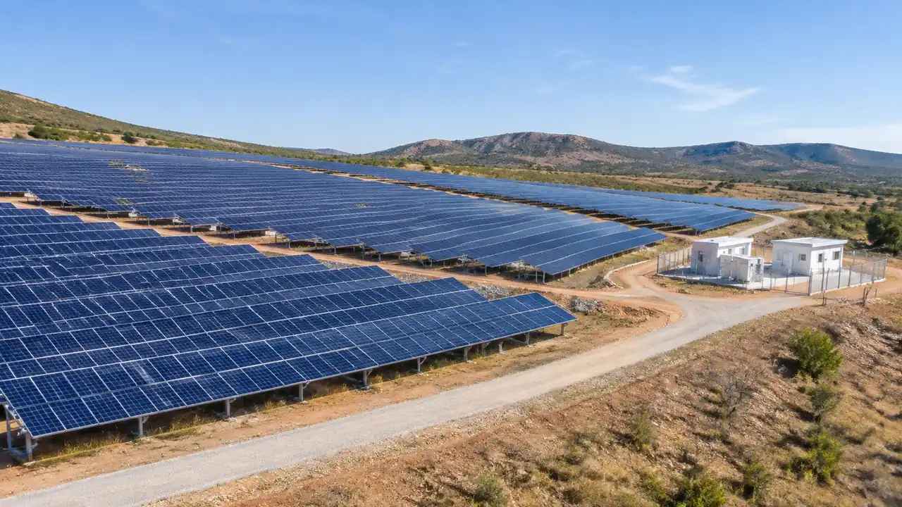
The boundary you draw is the frame for everything that follows. Draw it wider than the fenced plot, because objections in a layout review usually come from outside the fence: a neighbour's roof, a public lane, a drainage ditch that crosses the access. A boundary tight to the red line produces a scene with no argument in it. Widening by a field's width costs little, answers most of the questions that arrive in the second half of the meeting, and lets you pull the edge out again if the opening frame feels airless.
2 Site facts that decide where rows can go
2.1 Slope, banks and the lie of the land
Slope is the quiet constraint. In the scene the ground reads as a surface, so you can see where a field flattens along a contour and where it breaks into a bank at the top edge. Row direction is a design decision and the scene does not make it, but it shows why one direction will be argued for. A plot that looks level on a plan often carries a metre of fall, which is enough to start the conversation once you walk the boundary and find the bank that the plan hid.
2.2 Hedges, water and the awkward corner
Boundary planting and water shape an early layout more than a soil map does. A hedgerow arrives as a line of objects with height, so you can see how much ground it occupies and how it stands against a fence. A pond or a wet hollow appears as a water surface, and it tends to sit where someone wanted the inverter station. Both are editable and neither should move without a note saying why, while the awkward corner with both deserves a camera position of its own.
3 Buildings and access on the plot
3.1 Existing masses give the layout its scale
Buildings on and next to the plot give the layout its scale. Footprints come from map data, heights are estimated and types are inferred, which is enough to show a barn at the right size against a proposed compound. Correct the ones you know are wrong before the meeting. A neighbour's roofline that is a storey out will shift the whole discussion about screening, so fix the two or three buildings nearest the proposed rows and leave the rest alone.
3.2 Lanes, gates and turning room
Access is where many layouts fail. The scene shows the lane, the gate and the ground between them, and a building mass can be moved or removed to test whether a turning area fits. That is a sketch, not a design, and it should be described as one. What the scene will not tell you is whether the lane can carry a low loader or who owns the last fifty metres, and both questions belong in the site inquiry before a layout is drawn around an access that may not be available.

4 Where the array itself comes from
4.1 Module tables are design geometry
Module tables, rack pitch, tilt and tracker geometry are designed, not read from imagery. They come from a PV design package or a manufacturer's layout, with wind and loading assumptions behind them, and standards work such as the material published by IEEE sits with the designer. The scene holds the ground those tables will stand on. Keeping the two apart is what stops a massing view from being read as an energy study, and it keeps the equipment data where somebody maintains it.
4.2 Bringing the two together downstream
The array meets the ground downstream, in a 3D tool, a GIS or an engine, where the layout is placed on the exported scene. That is the moment a tidy plan shows a row running into a hedge or a table straddling a bank. The check is visual and takes minutes, which is why it belongs before the layout is fixed. Two camera positions are enough, one at the boundary and one at the low corner, repeated for each option so the comparison does the arguing for you.
5 Running a layout review
5.1 A sequence that keeps the argument moving
Run the review in a fixed order. Start wide enough to show the plot in its fields, move to the boundary where the neighbours are, then to the compound area, so each step answers a different objection and the order stops the session opening with a debate about module height. Keep the same camera positions across options, so two layouts can be compared without anyone arguing about perspective. Write the positions down, since memory is unreliable after the second coffee and nobody wants to rebuild a view mid-sentence.
5.2 Layers and what a screenshot leaves out
Layers do most of the work in a layout discussion. Hiding vegetation shows the ground shape under a hedge; hiding buildings shows the plot as open land; leaving both on shows what an array would sit among. Switch layers while preparing, not while someone is talking. When a screenshot leaves the room, say which layers were active, because a stripped view can look like a different site to a reader who was not there, and a caption of eight words prevents most of that confusion.
Open the GenAnywhere app and frame a solar plot
6 Before the scene leaves your desk
6.1 Choosing the extent
Decide the extent from the question. A review about setbacks needs the fence and the neighbours; a review about the connection needs the wider landscape and the road toward the substation. Two exports are better than one stretched file. Name each by the plot, the question it serves and the extent, since a file called solar option 2 stops meaning anything a month later and the name is what colleagues search for.
6.2 The assets that are not in the file
List what the file does not contain: modules, racking, inverters, transformer skids, cabling, fencing and the substation. Each one is an asset or a design item with an owner. That list tells the receiving team what to prepare and keeps a realistic image from being mistaken for a delivered scheme. Four lines in the handover note are usually enough, with an owner named next to each, so the list reads as a plan and saves an awkward question later.
6.3 Export, terms and a test import
Preview, then export a GLB. The file carries terrain, water, vegetation, buildings and your edits into 3D, BIM, GIS and engine workflows. The licence is permanent and commercial, with limits on reselling raw files and on training models with them; the authorization statement sets out the terms. Test the import on a known building before a meeting depends on it, since scale and orientation can arrive differently elsewhere and a two minute check at the receiving desk is cheaper than a wrong turn in a review.
7 FAQ
FAQ-1 Does GenAnywhere arrange panel rows automatically?
No. It does not propose rows, pitch, setbacks or a string layout, and it has no view on which arrangement produces more energy. What it does is generate and hold the ground the rows will sit on, with the slope, water, vegetation and buildings that shape the argument. The arrangement itself is made in a design tool and placed on the exported scene, so anyone expecting an auto-layout button is looking at the wrong part of the workflow.
FAQ-2 Can I compare two layouts in the scene?
Not as arrays. The scene does not carry modules, so a comparison there is about the ground and the frame. Export one base scene, place both layouts in the downstream tool, and keep the camera identical for each view. That way the difference the audience sees belongs to the design rather than to a change of viewpoint, and two options with different extents need two base scenes rather than one compromise.
FAQ-3 Which site features change a layout most?
The awkward corner, the access lane and the nearest building. Slope decides where a compound can sit, water decides where it cannot, and the neighbour's roofline decides how much screening the review will ask for. Hedges matter too, less for ecology than for the ground they take out of the plot. Look at those before the conversation turns to modules, because they are the items that survive an early redraw.
FAQ-4 What do I get at the end?
A previewable scene and an exported GLB holding terrain, water, vegetation, building masses and any edits you made. It does not hold modules, racking, inverters or cabling. Check the file in the receiving tool, note the imagery date and the buildings you corrected, and keep the scene as the base for the next layout option. Formats vary with the application that opens it, so confirm the import once rather than assuming it.
See how a solar plot becomes a layout base
Content and technical notes
This article was prepared by the GenAnywhere team with AI-assisted drafting and human review.
Product features, formats, and availability change as the platform evolves; refer to the official GenAnywhere website for current details.
For technical questions or corrections, contact support@genanywhere.com.
Last reviewed: 2026-11-13.