
Railway generation: how GenAnywhere builds an editable line
A corridor drawn on the map becomes an editable strip of ground, buildings and vegetation; the alignment itself is design work.
GenAnywhere builds a site model from map and satellite data, so a railway study starts by framing a corridor on the map and generating the land inside it. The result is a strip of editable site context: terrain, buildings, vegetation and water. The track alignment is not generated, and pretending otherwise would mislead a review, which is why the two sources stay separate.
1 What a generated line means
1.1 A corridor of site, not a track
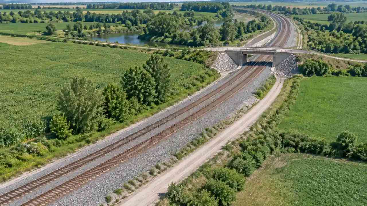
The word line here describes a strip of ground, not a pair of rails. You choose the extent on the map and the platform builds the land within it, including the ground profile, the buildings that sit on it and the vegetation around them. The corridor can follow a valley, a town edge or an industrial estate, whichever the question needs. Nothing about that corridor is a railway until a design alignment is placed on top of it. That sentence is worth keeping in the slide deck, because the picture invites the opposite assumption.
1.2 What arrives with the corridor
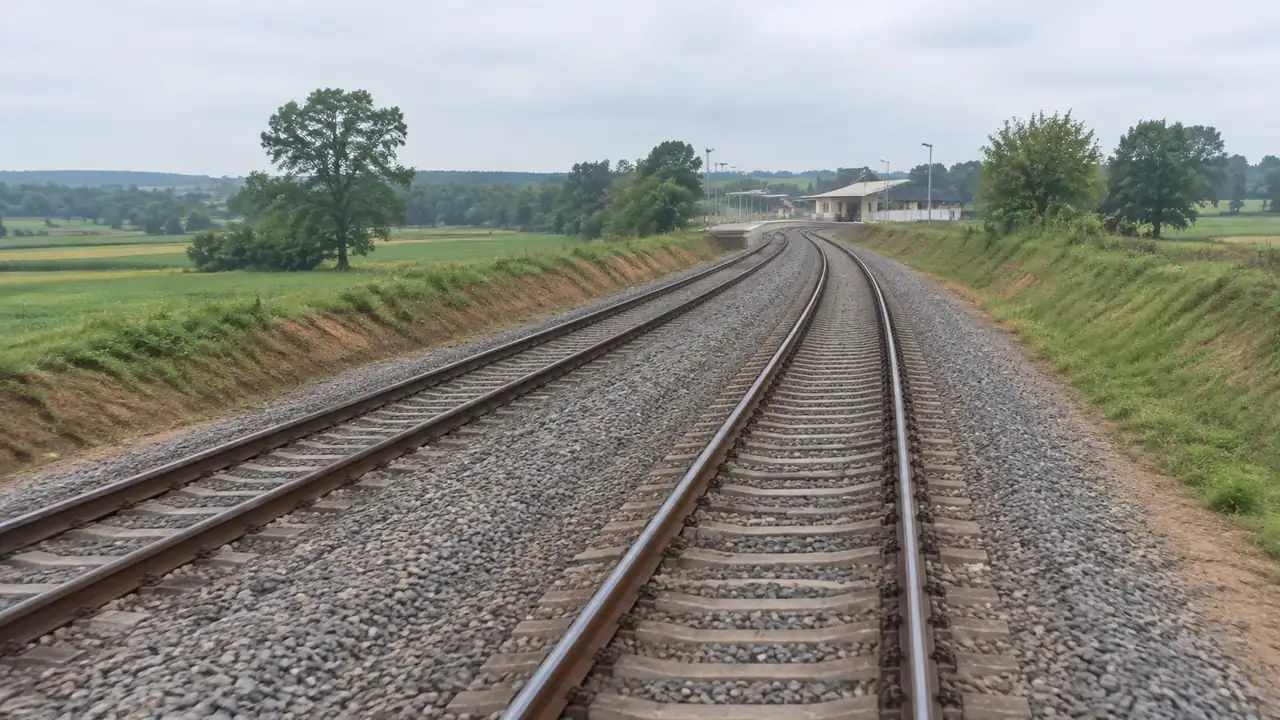
Terrain comes from the elevation data behind the map, and buildings come from mapped footprints with estimated heights and inferred types. Vegetation is inferred from what the imagery shows, which means a line of trees or a scrubby embankment appears as vegetation rather than as individual stems. Water appears where the map records it. Taken together, that is a workable setting for a route discussion, and it is available before anyone commissions a survey. It is not a substitute for survey work, and the difference matters when a decision is close.
2 The editable part
2.1 Buildings along the strip
Individual buildings can be replaced, moved, rotated and adjusted in height or type, which is the edit that matters most along a rail corridor. A shed that would be demolished for a new alignment can be removed to see the ground it frees. A depot building can be raised to test how it reads from the line. Each change appears at once, so two variants can be shown in one sitting. A corridor has dozens of buildings that could move, so pick the three that carry the argument and leave the rest alone. Label the variants, because a corridor produces many similar frames.
2.2 Layers for reading the strip
Terrain, buildings and vegetation can be previewed and managed as layers. Turning buildings off leaves the ground profile, which is usually what a route discussion needs to see before anything else. That view answers where the land rises and where a cutting would be deep. Turning vegetation off clarifies the built edge of a town. Reviewers move between these states without regenerating anything, so a workshop can move from one question to the next quickly. Say which layers are on when a frame is captured, since a bare corridor can look like a cleared site. The caption is the cheapest place to record that, and the place people actually read.
3 Working with a design alignment
3.1 The alignment comes from elsewhere
Track geometry is produced by railway designers, in tools built for horizontal and vertical alignment, cant and gauge. The platform does not create it. What it does is supply the ground and the surroundings that the alignment has to fit into, exported in a form that 3D, BIM, GIS and game engine tools can open. Bringing the two together is a downstream step, and it goes smoothly when both sides know which file holds what. Agree the handover direction before any export is made.
3.2 Stations, depots and junctions
Station areas are where the generated scene earns its place, because a station is a relationship between buildings, ground and access rather than a piece of track. A depot yard shows its sheds, hardstanding and boundary clearly enough to argue about expansion. Track fans and stabling roads still have to come from the design model, which is a distinction worth repeating at a depot review. A junction shows how the corridor sits against neighbouring land. In each case the value is the setting, and the value of the setting is that it can be edited while an option is still open. Once the option closes, the edits stop being useful and the drawings take over.
4 Limits
4.1 No rails, signalling or overhead equipment
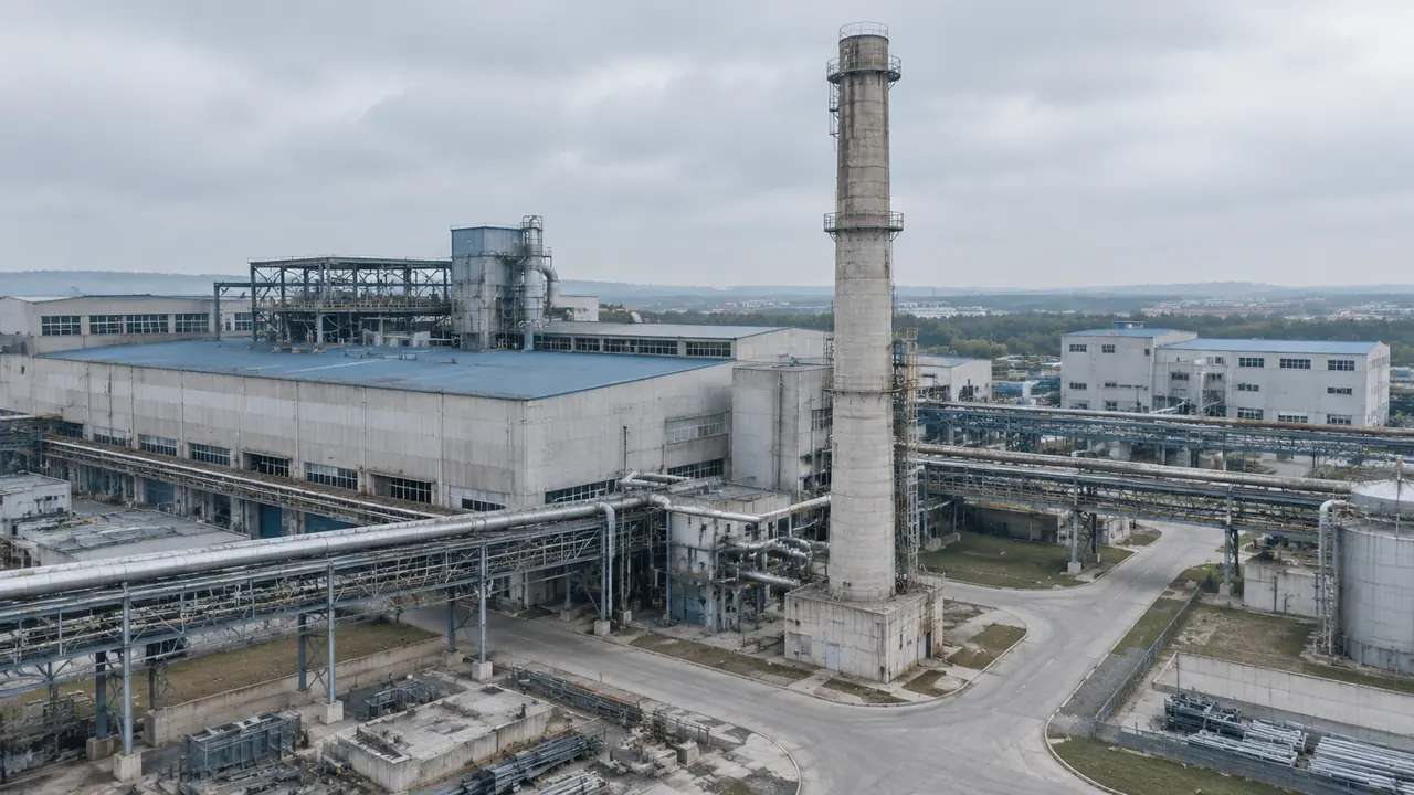
Rails, sleepers, points, signals, overhead line equipment and lineside cabinets are not generated. They belong to railway design and equipment packages, and they are placed in the downstream tool that holds the alignment. A corridor without rails can look unfinished to an audience that expects a railway, so explain the split before the picture is shown. The blank strip is not an omission; it is the part the platform deliberately leaves to the design team. Audiences accept that split once it is explained, and they distrust it when they discover it on their own.
4.2 No gauge, gradient or clearance checks
Nothing in the scene checks gauge, gradient, vertical clearance, structure gauge or track spacing. Those are engineering questions with standards behind them, and the UIC publishes material on how international rail work is organised and specified. Treat the scene as the ground the design has to meet, not as a check on the design. A corridor image that looks generous can still hide a constraint that a cross section would reveal. Sections and calculations belong to the design package, and the scene should not be read as either.
5 Review practice
5.1 A sequence for a route discussion
Start with the corridor at a scale that shows the towns it passes, then narrow to the section under debate, then show the building edits you want to argue for. Three frames carry a session. A route argument that begins with a close-up tends to become an argument about a shed. Keep the wide frame available as an inset if the software allows it, so the audience never loses the setting while the detail is discussed. A route argument needs both scales in view at once more often than people expect.
5.2 Handing the corridor on
Preview the scene and export a GLB when the work moves to the design team. The file carries ground, buildings and vegetation into the tools where the alignment lives, and it can sit beside the track model without either side overwriting the other. Test the import before a meeting depends on it. Add a note on which buildings were edited, because an edited strip is no longer a plain record of the imagery.
Open the GenAnywhere app and frame a rail corridor
6 Before you export
6.1 Scope
Decide how much of the route the file covers. A few kilometres around one station is a different product from a hundred kilometres of corridor, and the second will be coarse at every point. Choose the extent that matches the decision, and split the route into sections if the decision covers all of it. File names that carry the chainage or the place name save the receiver a guessing game. Say which end of the corridor is north, too, since a strip model has no obvious orientation once it is opened.
6.2 Missing assets
Rails, signalling, overhead line, lineside buildings that postdate the imagery and all rolling stock are outside the generated set. List them in the handover so the design team knows what it is adding. The list also protects the review from a misunderstanding about what the corridor contains. Write it while the scene is still open, because the details are easier to recall then. A list written from memory a week later is shorter and less accurate.
6.3 Purpose
Say what the exported scene is for: a route options comparison, a station area study, a visual check, a game engine environment. Purpose decides the extent, the level of building correction and the assets the receiver prepares. An export without a purpose invites the wrong expectations about what the file can answer. One sentence is enough, and the platform overview describes the same boundary between generated site and design work.
7 FAQ
FAQ-1 Does GenAnywhere generate railway track?
No. The platform generates the site inside a corridor you frame on the map. Track, signalling and overhead line equipment are design and equipment items that arrive from railway engineers. The scene supplies the ground and the surroundings that the alignment has to fit. Describe the corridor that way in a review, and the audience will not expect rails to appear in a later version.
FAQ-2 What can I edit in a rail corridor?
Buildings can be replaced, moved, rotated and adjusted in height or type. Terrain, buildings and vegetation can be shown or hidden as layers. Those edits cover massing and setting along the strip. The alignment and the track components are outside the generated content and are edited in the design tool that owns them. Keeping the two kinds of change apart makes the review easier to follow.
FAQ-3 Can I set gradients or curves?
No. Horizontal and vertical alignment, cant and gauge belong to railway design software and to the engineers who run it. The scene has a terrain surface that the alignment has to work with, and that surface is generated from elevation data. Use it to see where a grade would be awkward, then take the question to the design model for an answer that can be defended.
FAQ-4 What does the export contain?
A previewable 3D scene and a GLB carrying ground, buildings and vegetation, plus any building edits you made along the corridor. It does not contain track, signalling or rolling stock. Test the file in the receiving application, note the edits, and say which chainage the extent covers so the design team can line the file up with its own model.
See how a generated corridor moves into a GLB workflow
Content and technical notes
This article was prepared by the GenAnywhere team with AI-assisted drafting and human review.
Product features, formats, and availability change as the platform evolves; refer to the official GenAnywhere website for current details.
For technical questions or corrections, contact support@genanywhere.com.
Last reviewed: 2026-11-13.