
Airport terminal plans: can teams use GenAnywhere to phase sites?
How an early 3D read of the terminal ground can sharpen phasing talks without pretending to be a schedule.
A terminal phasing plan is a sequence of decisions about ground. Where does the next pier land, which service road stays open, and what has to move before anything new can be built? An early 3D read of the terminal ground lets teams discuss those questions before design hardens.
1 What phasing asks of a terminal site
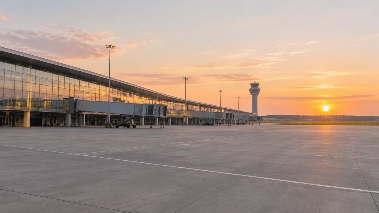
Phasing is often drawn as boxes on a plan. On the ground, each phase depends on space that already has a job: taxi lanes, apron pavement, baggage routes, parking, and access roads.
1.1 Phase boundaries follow ground, not just gates
A phase boundary that cuts through an active service road creates a problem the drawing may not show. Teams need to see where pavement ends, where a building footprint meets the apron, and where a temporary haul route could run. Those physical relationships decide whether a phase can open while the rest of the site keeps working. A 3D view makes the edge conditions visible early.
1.2 Temporary works need space too
Construction staging, contractor parking, and material laydown take ground that a terminal already uses. A phasing conversation that leaves them out tends to return later as a surprise. Mark the areas that could serve as temporary space and note what they displace. The exercise often reveals that the constraint is not the terminal footprint but the space around it. That shift in attention is often where a phasing idea improves.
2 Read the site before drawing phases
Before any phase line is drawn, the team should agree on what exists today. That sounds obvious, yet terminal sites change quickly and published imagery can lag a recent project.
2.1 Map the apron edge and service roads
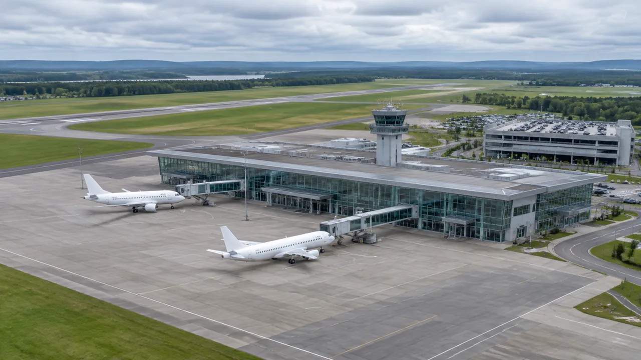
With GenAnywhere, a team selects the terminal area on the map and generates an editable 3D site model from satellite and map data. Buildings, terrain, and vegetation arrive in layers, so the apron edge, the service roads, and the open ground between them can be inspected together. A planner can replace or adjust a building volume to test a massing idea, then preview the result before export. The scene is a starting point for discussion, not a record of current airside conditions. Airside markings and equipment change quickly, so any detail that matters to operations should be checked against airport records.
2.2 Separate existing buildings from proposed massing
A terminal scene usually mixes two kinds of geometry: what stands today and what someone hopes to add. Keep them visually distinct in the review. Label added volumes, note their source, and avoid blending them into the existing fabric. When a colleague opens the scene later, the difference should be obvious without a briefing. That discipline prevents a massing test from being read as an approved layout. A simple color or note for proposed work is enough; the scene does not need to look like a finished scheme to be useful.
3 Compare phase options without pretending to schedule
A 3D scene can compare spatial options. It cannot tell a team how long a phase will take or what it will cost. Keeping the comparison spatial keeps the review inside its competence.
3.1 Hold the view constant across phases
Use the same camera position for each phase so the change is the subject, not the angle. A constant view shows how a new pier affects sightlines, how a service road shifts, and how much open ground remains after each step. It also makes a phase sequence easier to present in a meeting, because the audience can track one scene rather than a set of unrelated images. A short note beside the view names the phase and the camera, which keeps the set coherent.
3.2 Show what each phase displaces
Every phase takes something away before it adds. Parking, cargo space, a maintenance yard, or a bus lane may move. Draw those displacements into the review and label them. A phase that looks tidy in isolation may be unworkable once the displaced use is shown. Naming the trade-off early gives operations staff a concrete point to respond to. Write the displacement beside the phase name so the trade-off stays attached to the option it belongs to.
4 Where the scene supports the conversation
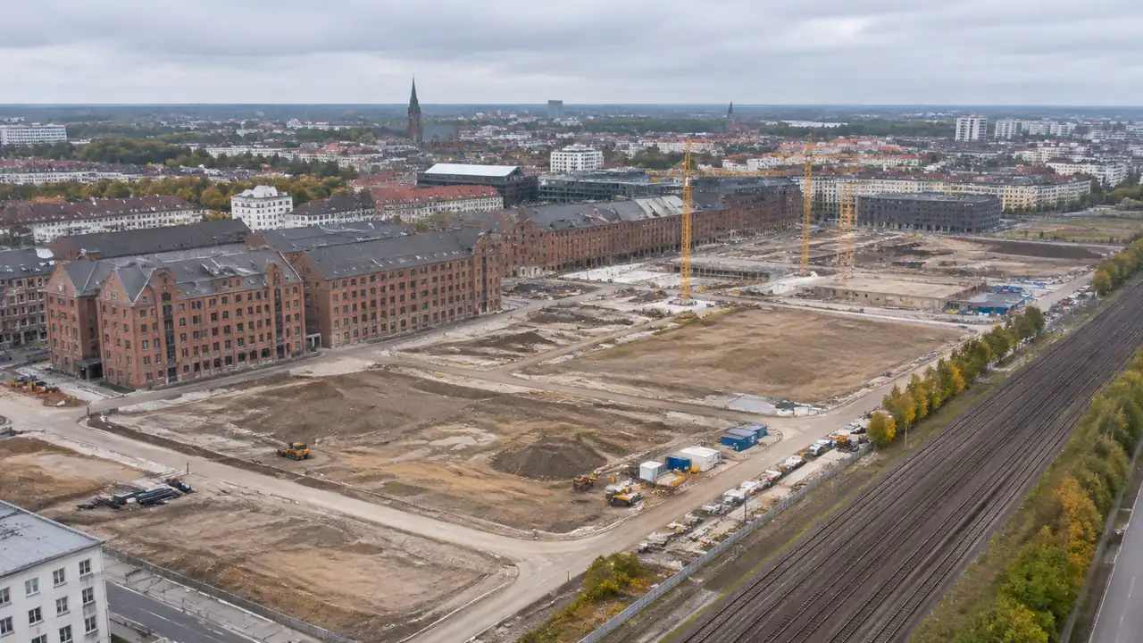
The scene earns its place when it helps operations, tenants, and designers talk about the same ground. It loses value when it is presented as a plan of record.
4.1 Briefing operations and tenants
Airport operations teams think in routes and access, while tenants think in frontage and visibility. A 3D scene lets a facilitator rotate the view and show both. A session can focus on the apron edge or on the landside approach, and a footprint can be adjusted while the room watches. That flexibility matters when an operations lead points out a route the scene omitted. Keep the session focused on the ground; operational rules and security belong to the airport.
4.2 Handoff into design tools
When a phasing direction settles, the scene can move into design. GenAnywhere exports a general GLB for 3D, BIM, GIS, and game engine workflows, and teams use it with Unreal Engine, Unity, Blender, Revit, Rhino, SketchUp, ArcGIS Pro, GISBox, or Wings Engine depending on the stage. The export carries a permanent commercial license, with limits on resale of raw files and on AI training use. Receiving teams still check scale, orientation, and data rights for their own work.
5 Keep the record honest
A phasing review is as good as its dated, labeled views. Two habits cover most of the risk.
5.1 Name the imagery date
Terminal sites change with every construction season. Put the imagery date on every view and note any known change since. If a pier opened after the imagery was captured, say so. A reader who knows the scene is behind the ground will treat it as context rather than current condition. That small label protects the review from being used for a decision it cannot support. If the scene is older than a recent pier, say that in the briefing rather than leaving the audience to discover it.
5.2 List what the model cannot decide
Runway geometry, airspace, security, and fire access sit outside a site scene, and each can veto a phasing idea. Add them to a limits list next to the views. The list is not a disclaimer paragraph buried at the end; it belongs beside the options. When an operations lead sees the list, they know which questions to raise and which ones the team has already considered. Update the list when a new constraint appears, and keep the date beside it.
6 Bringing terminal phasing together
The sequence below keeps a phasing workshop focused on ground and leaves the aviation decisions where they belong.
6.1 State the phase question
Write the question in one line, such as whether a new pier can open before the old concourse closes. That phrasing forces the team to name the operational constraint, which is usually more useful than a generic call for a phasing study. The workflow overview shows where site review ends and design begins.
6.2 Walk the construction edge
Trace the boundary where construction meets operations. Check the service road, the fence line, the apron pavement, and the space for equipment. Note where a temporary route could work and where it would cross an active movement area. Those notes are the practical core of the review. A short list of edge conditions is easier to act on than a long narrative about phasing.
6.3 Leave aviation planning to the airport
The FAA airport planning resources describe the studies and approvals that shape terminal development, and those processes sit with the airport and its regulators. A 3D site review can prepare the ground conversation and still leave layout standards, airspace, and approval to the people accountable for them.
Open the GenAnywhere workspace to map a terminal site and test a phase layout.
See how the site workflow fits together before the next phasing workshop.
7 FAQ
FAQ-1 Can GenAnywhere sequence a terminal construction program?
No. The platform builds a 3D site scene from satellite and map data and does not produce a construction schedule, cost estimate, or procurement sequence. Those depend on funding, airline agreements, operational windows, and contractor capacity. The scene supports spatial comparison: where a phase sits, what it displaces, and how the ground reads afterward. Sequencing remains an airport decision with its own planning process.
FAQ-2 Does the platform include airport-specific data?
No. There is no dedicated airport dataset behind the scene. The model is generated from satellite and map data, so airside features, pavement edges, and recent works should be checked against airport records. Imagery can lag the ground by months or more, which matters on a site that changes every construction season. Treat the scene as early context and verify conditions before relying on them.
FAQ-3 What should a phasing view show?
Show existing buildings, proposed massing, service roads, apron edges, and the uses each phase displaces. Keep the camera position constant so the change is what the audience notices. Label added volumes and note the imagery date. Add a short limits line for runway, airspace, security, and fire access, since those questions sit outside the scene. A view with those elements can carry a working meeting.
FAQ-4 Can the scene replace an airport layout plan?
No. An airport layout plan is a formal planning document with its own review and approval path. A GenAnywhere scene is early site context built from mapped imagery, not an approved layout and not a substitute for airport planning studies. Teams can use it to prepare questions, compare spatial options, and brief colleagues before the formal process begins.
Content and technical notes
This article was prepared by the GenAnywhere team with AI-assisted drafting and human review.
Product features, formats, and availability change as the platform evolves; refer to the official GenAnywhere website for current details.
For technical questions or corrections, contact support@genanywhere.com.
Last reviewed: 2026-11-09.