
Data center siting: can you test a campus with GenAnywhere?
How to compare campus options in 3D before the engineering studies start
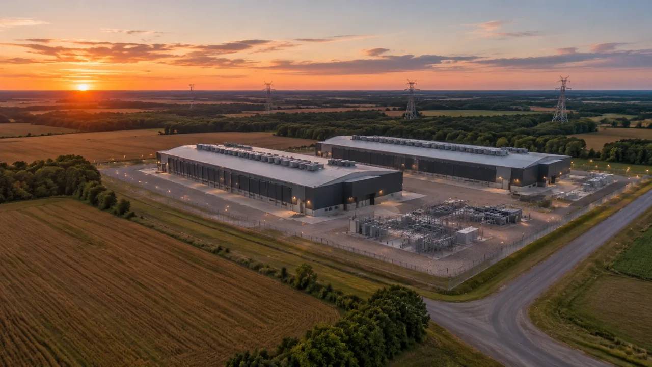
A campus is a land question before it is a building question. Parcels need room for halls, yards, cooling equipment, and a buffer that neighbors will accept. You can test those choices in an editable 3D scene before anyone commissions a study. GenAnywhere builds the scene from a map selection and exports it as a GLB, but the limits of that scene matter as much as the capability.
1 What campus screening has to answer
1.1 Which parcels are worth a closer look
Screening is a comparison exercise, not an analysis. Five parcels come in, two or three leave with a reason to continue, and the rest are set aside without anyone feeling the decision was arbitrary. The reasons are usually visible from above: usable acreage after setbacks, road access, slope, distance to a floodplain, and how close the nearest houses sit to an equipment yard.
A screen that records those reasons in a shared picture is easier to defend than a spreadsheet row. When a colleague asks why the eastern parcel dropped out, you can turn the camera and show the drainage channel cutting a sensible truck route. That is a better answer than a cell with a score in it.
1.2 How much detail belongs in an early pass
An early pass needs massing, not construction detail. You want to know whether four halls fit or three, whether the substation yard crowds the access road, and whether a tree line hides the mechanical yard from the road. Modeling every wall at this stage slows the comparison and adds nothing to the decision.
Keep the scene coarse enough that moving a building takes a minute. If an edit needs a meeting, the scene has stopped being a screening tool. Coarse massing also makes it obvious when a difference between options is structural rather than cosmetic, which is the point of comparing them at all.
2 Building a test campus from a map
2.1 Setting the boundary and the approach roads
Start with the parcel boundary and one or two approach roads. In GenAnywhere you select an area on the map, and the platform generates an editable 3D site model with existing buildings, terrain, water, and vegetation in place. That base matters more than it sounds. The neighboring warehouse, the drainage ditch, and the ridge behind the parcel all shape where the halls can go.
Seeing those features without a site visit changes the pace of an early discussion. Someone who has never stood on the parcel can still understand why the western third is awkward. The scene will not replace the visit, and for a final decision you should still walk the land with the people who will build on it.
2.2 Shaping halls, yards, and buffer strips
Then you place the campus. Blocks stand in for halls, a flat pad stands in for the equipment yard, and the existing trees stay where they are. GenAnywhere lets you replace a single building, rotate or move it, and change its height and type, so a warehouse can become a two-story administration block in a few steps.
Layer controls separate buildings, terrain, and vegetation. That separation is useful when you want to hide the trees and check the pad, or dim the buildings and look at the ground. A campus plan is mostly a set of relationships between those layers, and hiding one at a time is often how a conflict becomes visible.

3 Comparing options side by side
3.1 What a rotation or a shift reveals
Rotating a hall by twenty degrees can turn a tight service yard into a workable one. Shifting the pad fifty meters can move noise closer to the road and further from the houses. These are cheap changes in a scene and expensive changes on a drawing set, so trying them early saves the kind of rework that shows up months later.
The trick is to change one thing at a time and look at the result from the same viewpoint. Two options compared from different angles are not really compared. Save the viewpoints you use repeatedly, so a later reviewer sees the campus the way you saw it when the decision was made.
3.2 Reading terrain, water, and vegetation together
Terrain is where campus layouts usually fail. A pad that looks level on a map can need a retaining wall at one corner, and a drainage swale can cut across the sensible truck route. Turning on the terrain layer and tilting the view shows the shape quickly, before a grading plan exists to argue with.
Water and vegetation layers answer a related question: what stays, what is removed, and what the removal looks like from the road. A buffer that looks generous in plan can disappear at eye level. Looking from the property line rather than from above is often the difference between a plan that reads well and one that survives a public meeting.
4 Where a scene model stops
4.1 Questions that need engineering studies
A scene will not tell you whether the soil can carry a hall, whether the local substation has capacity, or whether the cooling water supply is adequate. Those answers come from geotechnical work, utility coordination, and permitting. Treat the scene as a way to frame those questions, not as a substitute for the studies behind them.
That framing role is more valuable than it sounds. A layout that shows the utility yard in the wrong place sends the utility engineer down a false path. Sorting out the spatial question early means the technical studies start from a configuration that has a chance of surviving contact with the site.
4.2 Keeping the model honest in review
Label the scene by what it is: a site context model built from map data. Note that building heights are estimates and that vegetation is inferred from imagery. When a reviewer asks for a number the scene cannot support, the answer should be a study, not a slider.
That habit protects the model's usefulness. Teams stop trusting a tool that pretends to answer everything, and they keep using one that is clear about its job. For data center siting, the job is layout comparison, and it is a large enough job on its own.
5 Handing the scene to design and review teams
5.1 Exporting a GLB into the design stack
When the campus option is settled, GenAnywhere exports a general GLB. That file opens in Unreal Engine, Unity, Blender, Revit, Rhino, SketchUp, ArcGIS Pro, and similar tools, so the design team starts from tested massing instead of rebuilding it. The official tutorials cover several of those directions.
The export is a starting context, not a finished design model. Detailed architecture, structure, and systems remain the receiving team's work. What the handoff saves is the rebuild of the site itself, which is usually the part nobody wants to repeat in a second tool.
5.2 Running a shorter, better review meeting
A campus review with a 3D scene tends to be shorter. People argue about the same things, but they argue while looking at the same block from the same angle. A walk along the boundary and a view from the nearest houses usually surface the objections that a plan drawing hides.
Keep the meeting to a few saved viewpoints and resist the urge to tour every corner. A review that spends its time on camera movement has less time for the decision. The scene is there to hold the conversation in one place, not to show how much of the site was modeled.
6 Where this workflow fits
6.1 Teams that get value early
Site selection groups, infrastructure planners, and design teams that need a fast comparison get the most from this. So do community-facing teams that have to explain a layout to people who do not read plans. The common thread is a decision that depends on spatial relationships rather than on numbers a study will produce later.
6.2 Cases where a simpler map is enough
If the question is just which county to shortlist, a map and a table will do. If the parcel is flat, empty, and unconstrained, a scene adds little. The workflow earns its place when terrain, neighbors, or existing buildings change the answer, and around data center campuses those conditions are common.
6.3 A short checklist before you start
Confirm the boundary, note the access roads, list the constraints you already know, and decide which two or three options you are comparing. Set a time box for the comparison, then open the map and build. A screen that takes an afternoon and produces a shared picture usually beats a month of isolated notes.
You can test the workflow on a parcel at the GenAnywhere app, and the workflow pages show how a scene moves into design tools. If your question touches flood exposure, the FEMA flood map service holds the regulatory map, which a site scene does not replace.
7 FAQ
FAQ-1 Can a site model decide whether a campus is feasible?
No. A model shows spatial relationships, and feasibility also depends on power capacity, water rights, geotechnical conditions, and permitting. Use the scene to compare layouts and to frame the questions you will send to engineers. The decision belongs to those studies and to the people who commission them. A scene that is treated as an answer will mislead the review.
FAQ-2 Does the scene include power lines or fiber routes?
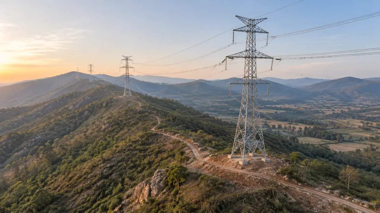
It shows what the underlying map data shows, which may include visible poles, substations, and road corridors. It does not know capacity, ownership, or available service. Confirm those with the utility before treating a route as usable. A line on the map is a prompt to make a call, not evidence that capacity exists. That distinction matters when a layout depends on where a new connection would land.
FAQ-3 What happens when the campus is larger than the selected area?
Build the campus in sections, or select a wider area where map coverage allows it. Large sites often work better as two or three linked scenes: the core campus, the utility yard, and the access corridor. Keeping each scene focused makes editing faster and keeps the file easy to hand off. Name the scenes so the set reads as one project, not three unrelated experiments.
FAQ-4 Can people without 3D software review the scene?
Yes. The exported GLB opens in common viewers, and screenshots or a shared session cover most review needs. Teams that use Unreal Engine, Unity, Blender, or a BIM tool can open the file directly. For a public meeting, a rendered view from eye level often communicates more than an interactive model. Send the viewer link with a short note on what the scene does not include.
Content and technical notes
This article was prepared by the GenAnywhere team with AI-assisted drafting and human review.
Product features, formats, and availability change as the platform evolves; refer to the official GenAnywhere website for current details.
For technical questions or corrections, contact support@genanywhere.com.
Last reviewed: 2026-11-13.