
Factory site scale: what GenAnywhere covers in one scene
A plant and its immediate setting fit in one generated scene, and the useful limit is context rather than acreage.
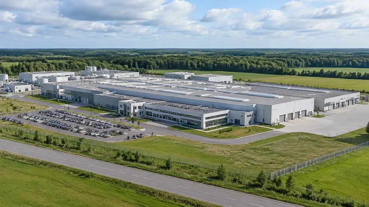
GenAnywhere generates a 3D site from map and satellite data, and for a factory that means the plant itself plus the roads, water and neighbourhoods around it. One scene can hold the whole site and enough of its setting to explain how it sits in the landscape. The practical limit is not a fixed area; it is the point where the surrounding context stops helping the question you are asking.
1 How much ground one scene holds
1.1 The site plus its surrounding context
You choose an area on the map, and the platform generates a model for that extent: buildings, terrain, water and vegetation. Around a plant, that usually includes the production halls, the yards, the access road and the edge of the nearest town or field. The model is built for orientation, so a wide extent gives you relationships and a tight extent gives you detail. Most factory reviews sit somewhere in the middle, with the plant filling half the frame. That framing is usually right for a plant, because the argument is about the edge as much as the halls.
1.2 What happens at the edge
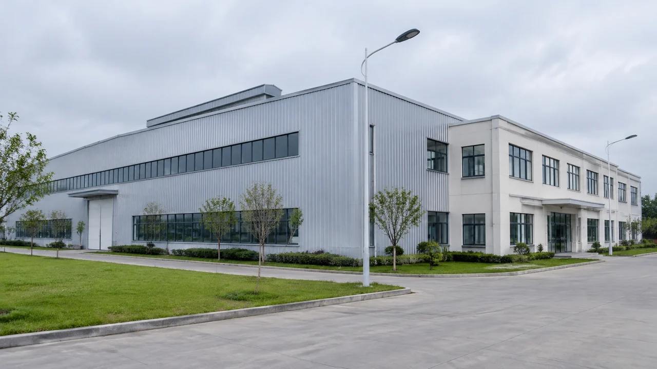
Every generated scene ends somewhere, and the edge is worth planning for. If the boundary cuts through a housing estate or a river, the cut is visible and can distract from the plant. Choose an edge that follows a road, a treeline or a shoreline so the scene ends on something that reads as a natural limit. If the review needs two different extents, generate two scenes rather than stretching one until the detail thins. A clean edge also makes the export easier to explain to someone who missed the meeting.
2 Reading scale in the model
2.1 Building heights and types
Heights are estimated from the available data and building types are inferred, so a tall silo may read as a warehouse and a low office may read as a shed. That is acceptable for massing and confusing for anything else. Correct the buildings you know, especially the ones that set the skyline, and the scene becomes a much better instrument for a scale conversation. A plant manager will spot a wrong hall in seconds. Height errors are easier to forgive than height silences, so if a building has changed, adjust it and say so.
2.2 Terrain and vegetation
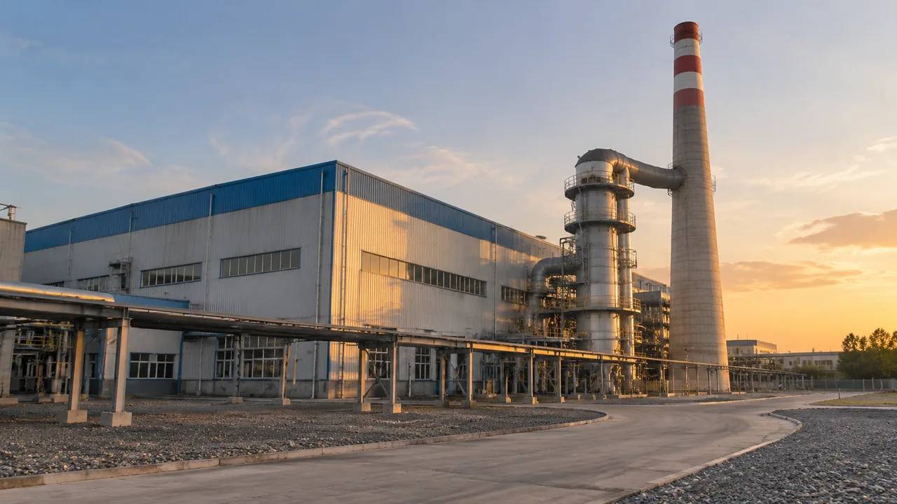
Terrain is generated to match the surrounding ground, which matters on a site with levels, retaining walls or a slope down to a watercourse. Vegetation is generated as part of the scene and can be shown or hidden as a layer. On a factory site the trees often mark the boundary better than any line on a drawing, so keep them visible when the discussion is about the edge and hide them when it is about the ground. A slope that looks gentle in the model can be a retaining wall in reality, so check the levels that matter.
3 Edits that change a factory scene
3.1 Replacing a production hall
A hall can be replaced, moved, rotated and adjusted in height or type. That is enough to test a demolition, a new building on an empty yard or a taller extension that changes the view from the road. The edit takes a moment, so two options can be compared in one session. Keep the options labelled, because a plant review often returns to the same scene weeks later and the memory of which version was which fades. If the new hall is a proposal, label it as a mass and keep it out of any statement about what exists.
3.2 Layers for a plant review
Buildings, terrain and vegetation can be previewed and managed as layers. Hiding buildings exposes the ground and the roads; hiding vegetation clarifies the built edge. Reviewers move between the views without rebuilding anything, which keeps a meeting on the question rather than on the software. Say which layers are active when a screenshot is shared, so the audience is not comparing two different scenes by accident. A layer view is also a quick way to see whether the boundary reads once the trees are hidden.
4 Limits
4.1 Not a survey extent
The scene is not a survey and does not establish boundaries, areas or levels to a measured standard. Distances read from the model are indicative, and a planning submission needs a proper drawing. Use the scene to discuss how the plant sits in its setting, and use survey data for anything that will be measured, registered or built. The platform overview describes the same boundary in fewer words. Mixing the two is how a helpful picture becomes a liability. If a measured distance is needed, take it from the drawing and use the scene for the picture.
4.2 Imagery date and phased works
Factories are built in phases, and a hall that opened last year may still be a construction site in the imagery. The date behind the scene is not always visible, so check it for the area before the review. Tell the audience which parts of the scene are older, and which current drawings supersede them. A phased site is normal; a scene that hides its own date is not. Ask which buildings were completed recently, because the site team will know without checking.
5 Running the review
5.1 A sequence for a plant
Start with the plant in its landscape, then the site boundary, then the building or yard under discussion. The wide view answers how the plant relates to the town, the road and the water; the closer views answer how the site is arranged. Keeping that order stops the audience from debating a hall before they understand the constraint outside the gate. It also makes the missing detail easy to name. If the audience is mixed, keep the wide view on screen while the detail is discussed so nobody loses the setting.
5.2 Handing the scene on
Preview the scene and export a GLB when the discussion passes to another team. The file carries the site into 3D, BIM, GIS and game engine workflows, where design geometry and equipment can be added. Test the file in the receiving tool before a meeting depends on it, because import behaviour differs. If the next step is a BIM handover, the buildingSMART community is a useful reference for how that exchange usually works. Add a note on the extent and the edits, so the next team does not rebuild a scene you already made. A one-page note is enough.
Open the GenAnywhere app and frame a factory site
6 Before you export
6.1 Agree the boundary
Decide where the scene should end and choose an edge that reads clearly. A road, a treeline or a shoreline makes a better limit than a line through a housing block. Record the choice in the agenda so the next meeting starts from the same extent, and name the features rather than quoting coordinates alone. If two questions need two boundaries, take two scenes rather than one that serves neither well.
6.2 List the missing detail
Process equipment, pipework, tanks and vehicles are not part of the generated site. List them in the handover and say where the geometry will come from. The list also tells the audience which parts of the picture are context and which are illustration. A named owner for each missing asset keeps the list useful. That distinction matters when a realistic image is used to support a decision about the site.
6.3 Set the next step
Say who receives the scene and what they will do with it. A planning team may want the landscape and the access; an engineering team may want the ground under its plant layout. Naming the next step keeps the export purposeful. If nobody can say what happens next, the review needs a question answered before it needs another file. That question usually reveals whether the scene is needed at all.
7 FAQ
FAQ-1 How large an area can one scene cover?
The extent is chosen on the map rather than fixed by the software, so the answer depends on the question. A plant plus its access and neighbours is a common working extent. Push much wider and the detail thins, which is fine for a regional diagram and poor for a site discussion. Choose the area that supports the decision and generate another scene if you need a second scale. Two honest scenes beat one strained one.
FAQ-2 Is the scene suitable for planning?
It is a context model built from map and satellite data, not a survey. Use it to discuss relationships, massing and setting, and use measured drawings for anything that will be submitted or built. The two work well together when each is labelled. Presenting the model as a survey would be a mistake, however convincing the image looks, and it is the mistake most likely to travel beyond the meeting.
FAQ-3 Can I show a proposed hall?
Yes. Buildings can be replaced, moved, rotated and adjusted in height or type, so a new hall can be tested as a mass. The scene will not resolve structure, cladding or internal layout. For an early conversation about scale and view, the mass is often enough. For a planning drawing, the mass becomes a starting point rather than an answer, and that is the right way to describe it.
FAQ-4 What do I get at the end?
A previewable 3D scene and an exported GLB carrying the site context for 3D, BIM, GIS or game engine workflows. The export includes terrain, buildings and vegetation, plus the edits you made. It does not include process equipment. Test the file in the receiving application and note the extent, so the next team knows what they are looking at and what was left out.
See how a factory site moves into a GLB workflow
Content and technical notes
This article was prepared by the GenAnywhere team with AI-assisted drafting and human review.
Product features, formats, and availability change as the platform evolves; refer to the official GenAnywhere website for current details.
For technical questions or corrections, contact support@genanywhere.com.
Last reviewed: 2026-11-13.