
Terminal scene scale: what GenAnywhere covers in one view
One terminal fits. A whole port does not, at least not at a size where anyone can still read a berth.
A generated scene in GenAnywhere comfortably holds a terminal: the quay line, the apron, the yard behind it, the sheds and the water alongside. It struggles with a port estate of five terminals and a city behind them, because the buildings shrink to dots and the water edge loses the detail that made it useful. Scale is the opening decision in a terminal review, and it is worth making deliberately rather than by scrolling out until everything fits.
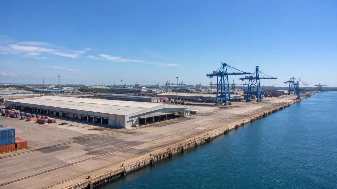
1 Defining the one view
1.1 How much fits before it stops reading
A stretch of quay a few kilometres long, with its yard and one or two berths, arrives at a size where a hall and a shed are still distinguishable. Push to a whole harbour and the same buildings become marks on a grey field. The limit is not a hard number, it is the point where a reviewer stops recognising buildings and starts recognising colours. Find that point on your own site before the meeting, then frame inside it. A ruler across the screen helps less than a known landmark, such as the main gate or a named shed.
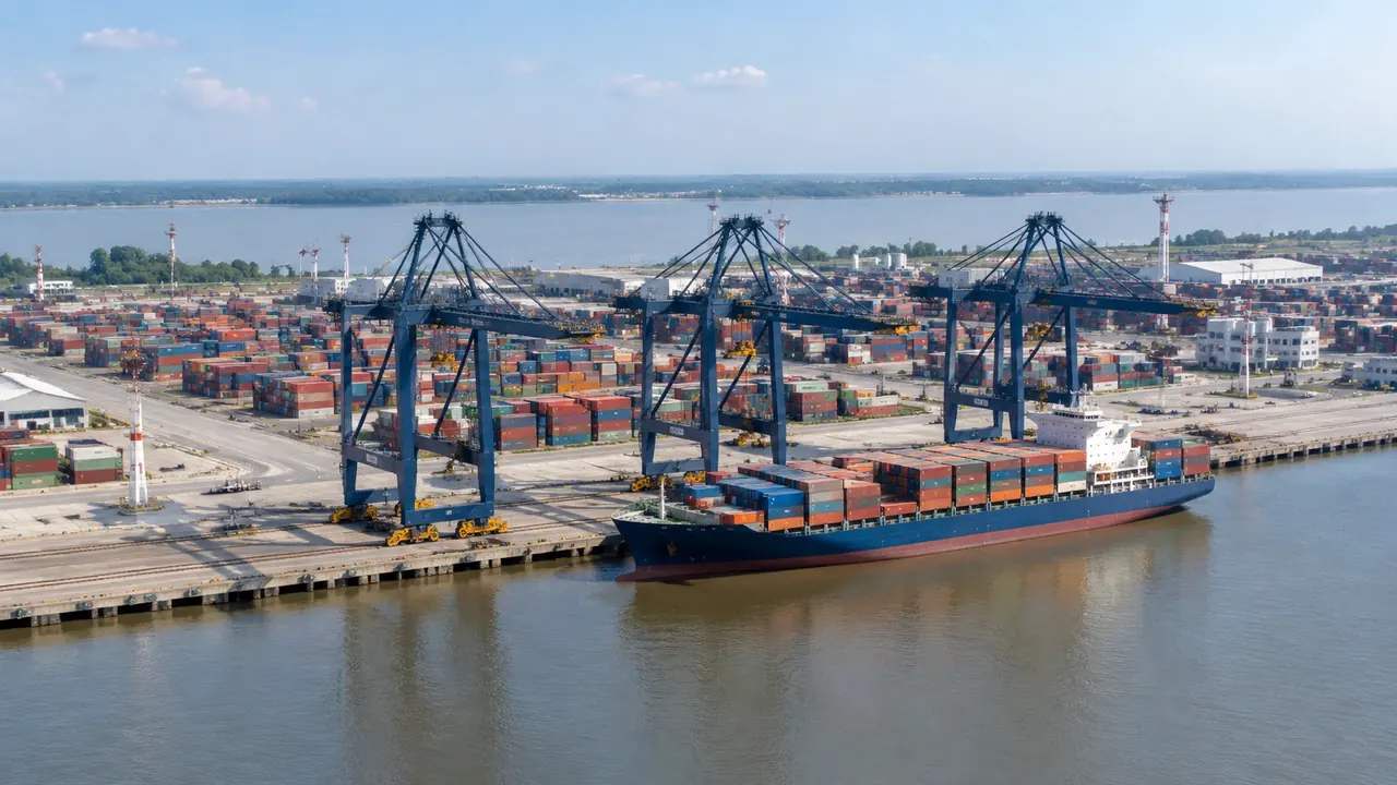
1.2 What sets the edge of the scene
The water edge on one side and the fence or rail corridor on the other make a natural frame. Take both if you can, since a terminal with no water in the view is hard to discuss, and a terminal with no landward edge is hard to explain. Where the site continues into a neighbouring operator, cut at a boundary you can name. An edge that everyone in the room accepts is worth more than a few extra hectares. If the boundary is disputed, frame to the disputed line and raise the dispute in the meeting rather than hiding it in the framing.
2 Reading a terminal from the scene
2.1 Quay, apron and yard
The generated masses show where the transit sheds, the workshop, the gatehouse and the office sit relative to the quay, and that relationship is most of what an early terminal conversation needs. Apron width is visible as the gap between the water edge and the nearest building. Yard depth is visible as the space behind it. Neither is measured by the platform, but both are obvious enough to argue about, which is the purpose. If a shed blocks the view down the apron, the scene will show that too, and it is the kind of thing a plan drawing tends to flatten.
2.2 Water and the berth line
A water surface comes through where the map shows one, and the quay edge appears where the land meets it. That line is a reasonable stand-in for a berth, though it follows the mapped water rather than a surveyed cope line. Port planning guidance such as the material published by PIANC treats the berth as a designed object with its own dimensions. The scene gives you the general arrangement, not the design. Where a berth has been extended since the imagery, the edge will follow the older line, so check the date before anyone measures a gap off the screen.
3 Layers and views for a terminal review
3.1 Hiding what is not the subject
Vegetation hides well and so do buildings, which is useful when the question is about ground or about the water edge. A tree belt along the landward fence often hides the fact that the site boundary steps; turn the vegetation off and the step appears. Do this while preparing, and keep the layer states you liked so the meeting does not spend time toggling. A scene with three useful layer states prepared is a better tool than one with a long menu nobody has opened.
3.2 Two views that carry the argument
A high oblique view along the quay shows length and the sequence of berths. A view from the water shows the frontage as a ship would see it, which is the view that decides whether a shed reads as tall. Take both, and note the height of the camera, because a view from 200 m and a view from 20 m tell different stories about the same building. Two views are usually enough for a port review, provided both are labelled with the direction they look along. An unlabelled view invites somebody to ask where the water went.
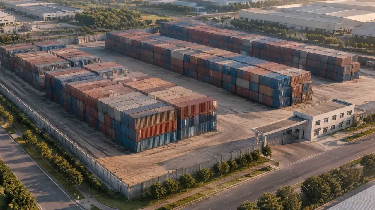
4 Where the scale stops being useful
4.1 Cranes, boxes and rail
Ship-to-shore cranes, yard cranes, reach stackers, containers, trailers and rail wagons are not generated. Nor is the track they run on. These are equipment and permanent way assets, supplied by a library or a design model and placed in the downstream tool. In the scene, the crane positions are empty apron, which is honest but plain. If the review is about crane productivity, the scene is the backdrop, not the argument. Say that once, clearly, and then use the scene to show where the machines would stand relative to the sheds and the gate.
4.2 Beyond one terminal
A port with several terminals is several scenes. Generate them separately, keep the same extent convention, and join them in the tool that can hold the whole estate without losing detail. One giant scene is easier to make and harder to use, and it tends to fail at the moment somebody asks which berth is which. Splitting also lets each terminal carry its own notes and its own imagery date. Where two terminals share a road or a rail corridor, keep that corridor in both scenes so the join is visible from either side.
5 Preparing for a port meeting
5.1 Edits that earn their place
In a terminal scene, the edits that matter are usually the big ones: a shed that has been demolished, a new gate complex, a yard extension onto reclaimed ground. Make those, and leave the small stuff alone. A scene that is right about five large masses is more credible than one that is wrong about twenty small ones. Reclaimed ground is worth a note, because the water edge there may be newer than the imagery. A yard that appears to hover over water in the scene is usually a fill area the map has not caught up with yet.
5.2 Saying what the view excludes
Before the opening slide, say what is missing: cranes, boxes, rail, paving, lighting masts, and anything built since the imagery date. A reviewer who knows the gaps reads the scene differently from one who discovers them halfway through. This takes thirty seconds and prevents the rest of the meeting from being about the gaps. It also makes any later addition of equipment look like a plan rather than a correction. If the audience is new to the site, spend forty seconds on what the scene is before showing what it holds.
Open the GenAnywhere app and frame a terminal
6 Export and reuse
6.1 GLB into the port workflow
Preview the scene and export a GLB, which carries the terrain, water, vegetation and building masses into 3D, BIM, GIS and game engine workflows. Port teams often land it in a GIS context or a visualisation engine, then add equipment and track from their own sources. Check the export in the receiving tool before the meeting, because a file that imports with the wrong scale wastes the framing work you did. Note the units the host tool expects, and compare the quay length against a known figure once. The platform overview lists what the export includes.
6.2 Rebuilding the same extent later
Keep the extent and the layer states with the notes, so a later version starts from the same frame. Terminals change, and a scene made eighteen months ago will need a correction pass; starting from the same boundary makes the two versions comparable. Label versions by the decision they supported rather than by date alone. Comparable versions are what turn a one-off picture into a record of how the terminal was understood. Two dated scenes side by side often explain a decision better than any single image could.
6.3 When to split
Split the scene when a reviewer stops being able to point at a building and name it, or when two parts of the terminal are on different decision timelines. A split costs an extra export and saves a meeting. Keep a shared origin or a shared framing rule so the two scenes can be read together, and say in each note which part of the port the other one covers. Name the split the way the port does, by terminal or by berth range.
7 FAQ
FAQ-1 How large an area can one scene hold?
Large enough for a terminal and its immediate surroundings, not large enough for a whole port region at a readable level. The practical limit is legibility: once buildings become indistinguishable marks, the scene has stopped answering questions. Extent, imagery resolution and the number of buildings all affect where that point falls on your site. A terminal with a handful of large sheds holds up at a wider extent than one packed with small buildings, because large masses survive being small on screen.
FAQ-2 Does the scene include the cranes?
No. Ship-to-shore cranes, yard equipment and containers are not generated. The apron where they stand is part of the scene, and the buildings behind it are too, so the arrangement is visible even though the machines are not. Add crane models from your library in the downstream tool if the review needs them, and place them against the apron edge rather than floating over the water. Their absence is easy to explain and easy to fix, which is why it rarely derails a review.
FAQ-3 Is the quay edge the real berth line?
It follows the mapped boundary between land and water, which is close enough for a general arrangement and not a substitute for a surveyed cope line. Where the quay has been rebuilt or extended, the mapped edge may be out of date. Treat it as the frontage in a picture, and take dimensions from the drawings that hold them. If a berth length is the subject of the meeting, bring the drawing as well as the scene, and show them together.
FAQ-4 Can I show two terminals side by side?
Yes, as two scenes with a shared framing rule, exported separately and combined in the receiving tool. That keeps each terminal readable and lets each carry its own notes and imagery date. A single scene covering both is possible but usually loses the detail that makes either one useful. Export each with the same up axis and scale, then align them on a shared landmark such as a gate or a corner of the quay.
See how a terminal scene moves into an export workflow
Content and technical notes
This article was prepared by the GenAnywhere team with AI-assisted drafting and human review.
Product features, formats, and availability change as the platform evolves; refer to the official GenAnywhere website for current details.
For technical questions or corrections, contact support@genanywhere.com.
Last reviewed: 2026-11-13.