
Oblique photography gaps: what a site model should add, GenAnywhere
The neighbour, the ground beneath the trees and the block that was never built. Filling those gaps is a modelling decision, not a photographic one.
Oblique photography is bounded by the flight, the light and the surfaces the cameras could see. Every review eventually reaches the edge of that evidence and asks what lies beyond. A site model built from map data can answer part of that question, provided the team is clear about which parts were observed and which were inferred.
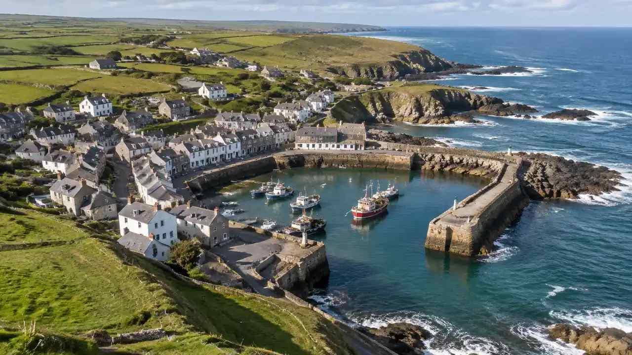
1 Name the gaps
1.1 What does a capture leave out?
The ground under dense vegetation, the surfaces behind glass, the water, and the objects that moved during the flight.
The areas outside the flight, which may be the most important part of the setting. A scheme is judged against its neighbours, and a capture that stops at the boundary leaves them out.
The future. A captured site has no room for a proposal, an alternative or a phasing option. The gap is not a defect in the capture; it is the edge of what a flight can know.
1.2 Why does it matter?
Because a review fills gaps whether or not the team does. If the neighbour is missing, the room imagines one. If the ground is hidden, the room assumes it is flat.
Filling the gaps deliberately, with a labelled source, keeps the imagination in check.
It also protects the record. A scene that openly shows where evidence ended is harder to misquote than one that looks continuous. A scene that names its gaps also tells the next team where to spend the next survey budget.
2 Add the arrangement
2.1 Surrounding blocks
Add the neighbouring buildings at a level of detail that matches their role in the argument. If the question is about overlooking, the neighbour's roof line and windows matter; their window frames do not.
Add the streets and the connections. A site that sits at the end of a cul-de-sac reads differently from one on a through route.
Add the landmarks that people use to orient themselves. A church tower or a bridge helps a room understand where it is looking. A landmark is not decoration; it is how people locate themselves in a view.
2.2 Ground and water
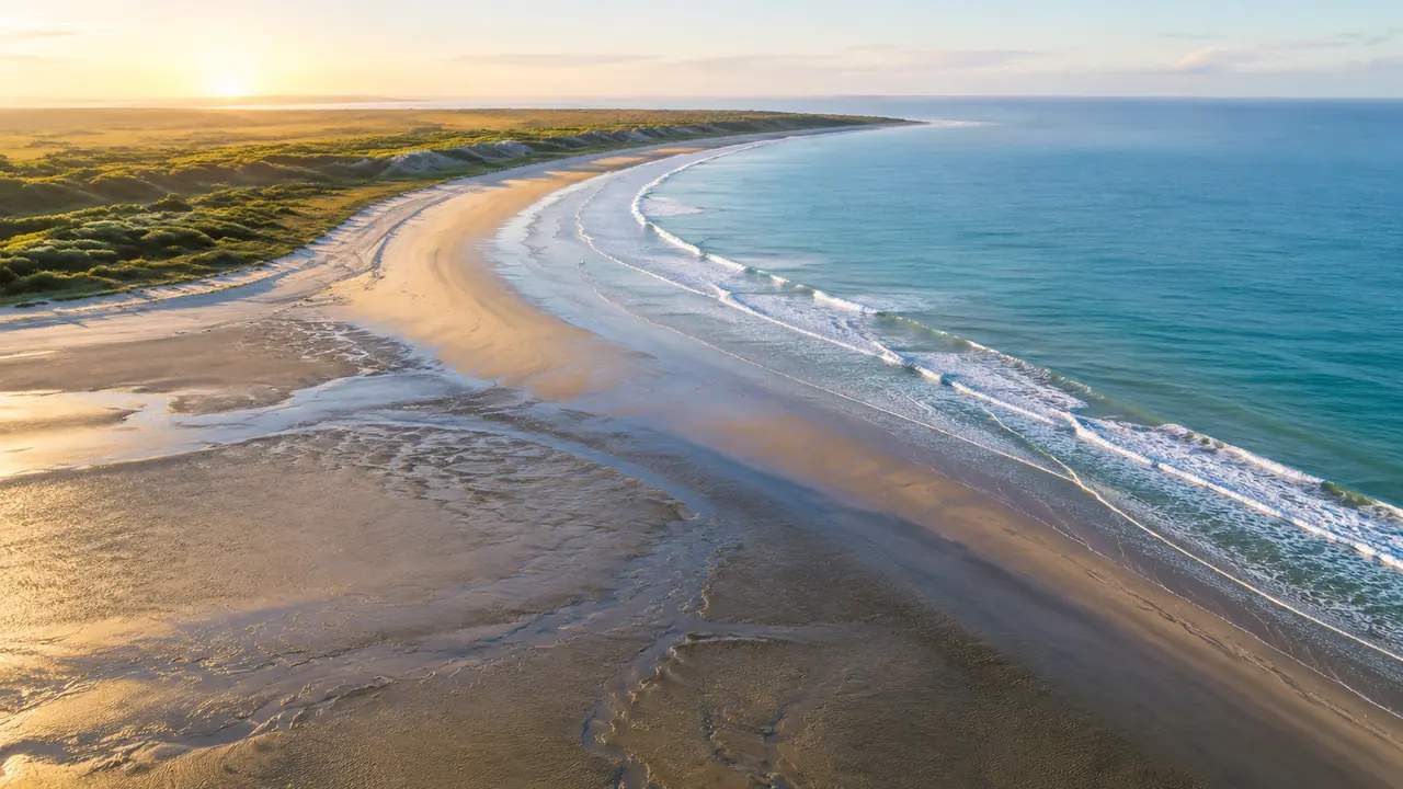
Add the ground profile. A flat site and a sloping one produce different schemes, and the capture may not show the slope under trees or behind walls.
Add the water with its edges. A riverbank that appears as a vertical cliff is a common artefact of a map-derived base, and it is worth checking before a promenade is designed onto it.
Add the vegetation as a layer. Trees affect view, shade and the sense of enclosure, and a layer that can be hidden lets the room test each effect separately. Where the ground is hidden, say whether the base carries a slope or a flat plane, because the difference changes the scheme. Where the trees hide the ground in the capture, the layer can be switched off in the base.
3 Add the editable parts
3.1 Replace and move
A site model is useful because its parts can change. GenAnywhere lets a team replace a building, move or rotate a block, and adjust height or type without editing a mesh.
That is how a review tests an alternative in the same frame as the existing context. The neighbour stays fixed while the proposal moves. Keep the original scene untouched, so the test can be repeated.
The same editing makes the model a working file. It is not touched by the capture, and the capture is not touched by it.
The base arrives with buildings, terrain, water and vegetation on separate layers, so a replacement does not disturb the rest of the scene. A moved block keeps its height and type until someone changes them, which makes the comparison about one decision at a time. The GLB export carries the result into the tool where the design work continues.
3.2 Layers
Buildings, terrain, water and vegetation arrive as separate layers, which is what makes the edits safe.
Hiding the trees shows the ground. Hiding the buildings shows the plot structure. Showing everything gives the impression the site is understood. Showing one system at a time is usually the more honest view.
Teams that use the layers tend to ask better questions, because they can look at one system at a time. A layer structure that survives export is worth more than a beautiful scene that arrives as one merged object. The base also separates ground from canopy, so a reviewer can see what the trees were hiding.
4 Add the wider area
4.1 Beyond the flight
Draw the area wider than the capture and the base will cover ground nobody photographed, at a consistent level of detail. A drawn area can cover the district even where no flight exists, and the base will hold it at one level. GenAnywhere will hold that wider area at one level of detail, and the exported GLB carries it into the next tool.
That consistency matters more than detail. A scene where one block is photographic and the next is a grey mass reads as uneven evidence unless the difference is explained.
For a district or corridor study, the base is often the practical way to hold the whole area in one view. Consistency of detail is what makes a district view readable. Open standards from buildingSMART are a useful reference when the model has to travel into a BIM workflow.
4.2 What the wider area is for
It is for context, not for claims. A base covering a kilometre of surrounding city can show relationships and cannot show condition.
It is for orientation. A committee that recognises the wider area will follow the argument about the site. That recognition is worth more than another layer of detail.
It is for scale. Seeing the proposal against the district is often more persuasive than seeing it alone. A wider area also shows the routes people will use to reach the site, which is often part of a planning argument.
5 Avoid filling gaps with guesses
5.1 Where people guess
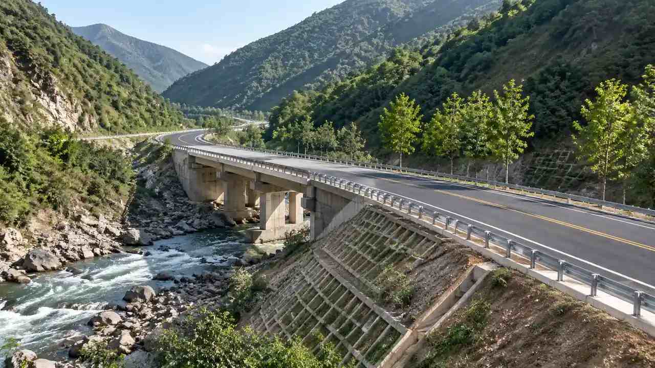
Heights are the usual guess. A height estimated from map data is a reasonable starting point and a poor basis for a planning argument unless it is labelled. The label is what turns an estimate into something a reader can use.
Edges are the next. A boundary drawn along a mapped line may not follow the fence, and the difference matters when a scheme sits close.
Condition is the third. A clean block where a building stands says nothing about the state of that building, and reviewers forget this when the block looks tidy. Condition is the hardest to label, because a tidy block looks like a maintained building.
5.2 How to label estimates
Mark estimated heights in the note and, where the tool allows, in the scene. Use a range rather than a single figure. A range is more honest than one number and usually more useful in a discussion. Estimates are easier to live with when the layer and the note say what they are.
Mark the areas outside the capture as context. A small legend or a naming convention is enough.
Mark the parts that are proposed. A proposal styled like a photograph is the most misleading object in any of these scenes.
6 Decide what to add
6.1 What is worth adding?
Whatever the decision depends on. If overlooking is the question, add the neighbour's openings. If flooding is the question, add the ground and the water edge.
Whatever helps orientation. A landmark or a street pattern earns its place if it stops the room asking where it is.
Whatever the next team will need. A model that answers today's question and tomorrow's saves a rebuild. The test is whether the addition changes a decision or merely changes the picture.
6.2 What is not?
Detail that no decision touches. Window frames on a building that will be judged by its height alone are cost without benefit. Detail that nobody will question is still cost, and it slows the scene for everyone who opens it.
Photographic texture where a flat material will do. Texture invites measurement, and measurement is not what the base is for. A flat material also makes the proposed parts easier to spot.
Speculative content. A building that might be demolished next year does not need to be modelled in two versions unless the phasing is the question.
6.3 When is the base finished?
Stop when the gaps that remain are named. A scene with two known gaps is more useful than one with none and no note. A named gap can be closed later; an unnamed one becomes an assumption.
Stop when the file size starts to discourage use. A model that opens slowly gets opened once.
Draw the area in the GenAnywhere app and label what the base adds beside what the capture observed.
7 FAQ
FAQ-1 Can GenAnywhere fill the gaps in a capture?
It does not repair a captured mesh. It builds a separate site model from map data, which can supply the surrounding arrangement and the ground where the capture has holes. The two remain distinct sources. The note should say which source answered which question, so the receiver does not treat them as interchangeable.
FAQ-2 How accurate are the heights in the base?
They are estimates derived from map and satellite data, suitable for context and massing discussion. Where a height governs a decision, it should come from a survey or a design drawing. A surveyed height or a published dataset should take precedence when the two disagree. Where the source is uncertain, say so in the note rather than presenting an estimate as a fact.
FAQ-3 Should I model the whole neighbourhood?
Model enough to answer the question and to orient the room. A wider area at block level is usually more useful than a small area at façade level, unless the argument depends on a particular surface. Model the neighbours the argument touches, and leave the rest at block level. A landmark or a street pattern earns its place when it stops the room asking where it is looking.
FAQ-4 What if the base and the capture disagree?
Decide which source governs the point in question, record the choice and keep both. Disagreement is information, and hiding it by merging the files removes the evidence a reviewer would need. The note is the place to record that decision, and it should be updated when the scene is reissued.
See how a map area becomes an editable site model in the GenAnywhere workflow.
Content and technical notes
This article was prepared by the GenAnywhere team with AI-assisted drafting and human review.
Product features, formats, and availability change as the platform evolves; refer to the official GenAnywhere website for current details.
For technical questions or corrections, contact support@genanywhere.com.
Last reviewed: 2026-11-06.