
Flood map updates: what a new release can reveal with GenAnywhere
A revised flood map changes lines on paper, and a site model can show what those lines touch on the ground.
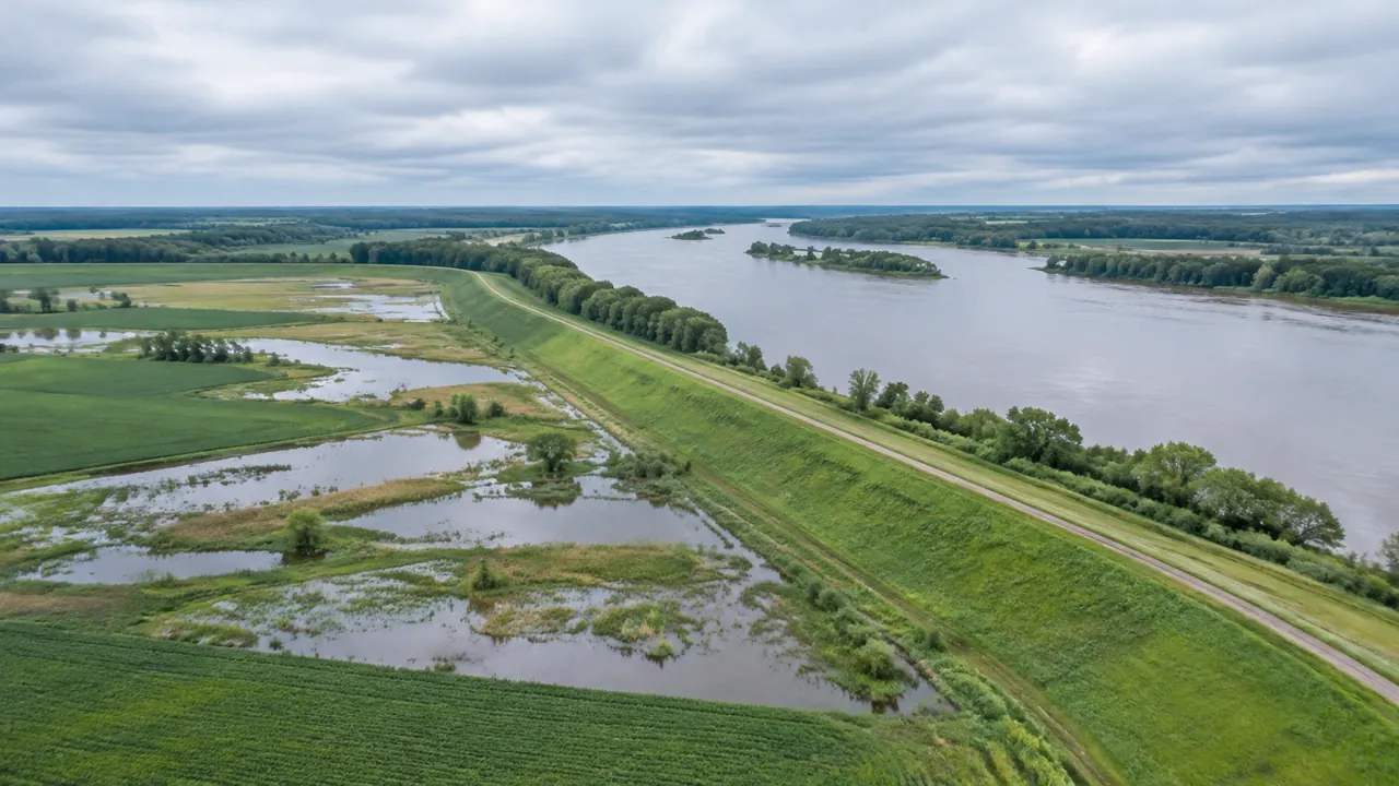
A new flood map rarely changes the weather. It changes the official picture of where water is expected to go. For a property owner, a planner, or a public works director, the practical question is what the new line runs through: a yard, a road, a utility vault, or a building that has stood for fifty years. A generated 3D site model can help answer that question at the scale of the neighborhood.
1 What a revised map changes
1.1 Read the effective date and the panel
A flood map arrives with an effective date and a panel number. Those two details decide which version governs a permit or a loan. A map that is still in draft has no legal effect, even when the lines are already public.
Find the panel that covers the parcel, then compare it with the previous panel. Look at the zone label, the base flood elevation, and the shape of the boundary. A line that moved a few feet on paper can move a building in or out of a regulated zone. Keep a copy of both panels in the permit file.
1.2 Separate mapping changes from risk changes
A line can move because the data improved, not because the risk changed. New topography, better hydrology, or a revised study can redraw a zone without any new construction in the neighborhood. The reverse also happens: a levee may be decertified, and the risk on the ground may be higher than the old map suggested.
That distinction matters in public meetings. Residents hear "new flood map" and assume the water is coming closer. Sometimes it is. Sometimes the map simply learned more about the ground it was already describing.
2 What the map can reveal about a site
2.1 Compare the old and new lines on the ground
A paper map shows the line. It does not show the shed, the driveway, or the row of houses that sit near it. Overlay the new boundary on a three-dimensional view of the neighborhood and the practical questions appear.
Which building corner sits inside the line? Does the sole access road cross the floodplain? Is the utility building on the high side or the low side? Those are the questions a property owner will ask, and they are easier to answer with a model than with a narrative.
2.2 Check drainage, low spots, and escape routes
Flood maps describe a modeled event, not every puddle. A site can flood from a blocked culvert, a filled ditch, or a storm that lands between two map panels. The model shows the shape of the ground that produces those local problems.
Look at the fall of the land, the direction of the swales, and the roads that leave the area. A route that stays above the mapped zone is worth knowing before an emergency, not during one. The model gives that route a shape. A shallow ditch that looks minor on a map can close a road in a storm.
3 Where a site model adds context
3.1 Build the neighborhood around the parcel
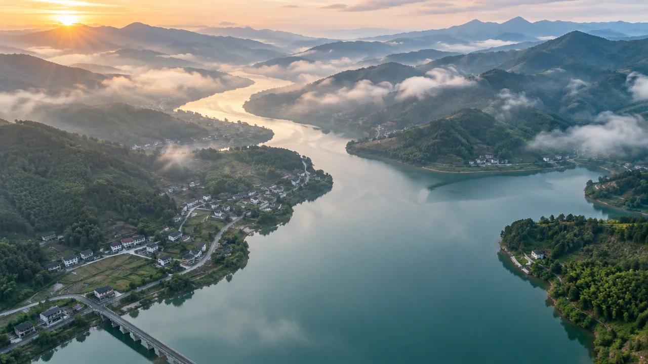
GenAnywhere starts with a map selection. The platform generates an editable 3D site model from satellite and map data, identifying building footprints, estimating heights, inferring building types, and analyzing vegetation. Terrain, water, and vegetation are matched automatically.
For a flood map review, that context is the point. The model shows the houses, businesses, roads, and tree cover around the parcel, along with the ground that drains toward it. Staff can see which neighbors share a low spot and which sit on higher ground. The model also shows where the parcel drains toward a neighbor.
3.2 Test raised pads and relocated access
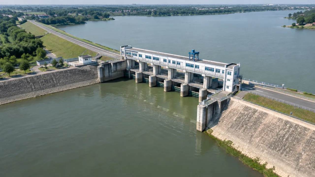
Buildings sit on their own layer. You can replace a single building, move or rotate it, adjust its height or type, and preview the result before export. A proposed pad can be raised. A driveway can be moved to the high side. An equipment yard can shift away from the drainage.
Those tests do not produce an elevation certificate or a hydraulic study. They produce a clearer question for the engineer. A sketch that shows the pad two feet higher and the access road out of the low spot is easier to discuss than a paragraph of intent. Mark the elevation difference in the note, not on the image.
The platform generates terrain, water, vegetation, and building volumes. It does not run hydrology, calculate base flood elevations, or certify a finished floor. Those come from a licensed engineer and the official map.
The model is also a snapshot. A new levee, a filled wetland, or a changed culvert may not appear. Treat it as a way to see the ground and ask better questions, not as a substitute for the effective map or a site survey.
4 Talking to owners and lenders
4.1 Explain the change without alarm
A property owner who receives a letter about a map revision often assumes the worst. Start with the facts: the effective date, the zone, the elevation if one is published, and whether the building itself is inside the line. Then explain what the change does and does not mean.
Avoid language that sounds like a determination. The map is a regulatory product, and insurance and lending decisions follow their own rules. Point the owner to the Federal Emergency Management Agency for the official map and to a qualified surveyor for elevation work.
4.2 Point to the right professionals
Different questions need different experts. An elevation certificate needs a surveyor. A drainage complaint needs the local public works department. An insurance question needs an agent licensed in the state. A map error needs the process that FEMA and the community use to request a change.
Staff can save time by naming those paths in one page. A resident who knows where to go is less likely to bring the same question to every counter in city hall. A short directory of contacts saves everyone a transfer.
5 Documents to keep with the map
5.1 Record the source and date
Every map comparison should carry its source and date. Note the panel, the effective date, and the file or website it came from. If a later revision arrives, the older record still shows what was known at the time.
Photographs help. A picture of a high-water mark on a wall, a culvert inlet, or a road edge gives the map a physical reference. Date the photo and note the location. Store the file where the next reviewer can find it.
5.2 Photograph conditions after a storm
After a heavy rain, walk the area and photograph what you see. Ponding, debris lines, and eroded banks show where water actually went. Those observations do not replace a study, but they tell an engineer where to look.
Keep the photos with the map and the notes. Over several storms, the record becomes a useful local supplement to a regional model that cannot see every ditch.
6 What to do in the month after release
6.1 Check every affected parcel
Do not wait for a permit application. Pull the new panel, list the parcels that touch the revised line, and check each one against the model and the ground. A short list with a status for each parcel prevents surprises at the counter.
Flag the parcels where a building, a road, or a utility sits close to the line. Those are the ones that will generate calls. Prepare a plain answer before the calls arrive.
6.2 Ask for a change if the data is wrong
Maps contain errors. A panel may show a building that was demolished, a ditch that was filled, or a boundary that does not match the survey. Communities and owners can request a correction through the process the map program provides.
Gather the evidence before filing: photographs, survey notes, as-built drawings, and a clear description of the error. A request built on evidence moves faster than a complaint built on frustration.
6.3 Plan the next conversation
A map release is a moment, not an endpoint. Decide who will answer questions, where the map will be posted, and how the city will track corrections. Set a date to review what the release changed.
That follow-up turns a confusing week into a managed process. It also gives the next map revision a better starting point.
7 FAQ
FAQ-1 Can GenAnywhere tell me whether my property is in a flood zone?
No. The official determination comes from the effective flood map and, where needed, an elevation certificate prepared by a qualified professional. GenAnywhere generates a 3D site model for context, showing buildings, terrain, water, and roads around a parcel. Use it to understand the ground, then confirm the zone with the map and a surveyor.
FAQ-2 What does the model show that a paper map does not?
The model shows the neighborhood in three dimensions: building heights, tree cover, the fall of the land, and the roads that cross it. That makes it easier to see which structures sit near a revised line and where water would drain. It does not calculate flood depths or replace the engineering behind the map.
FAQ-3 How current is the imagery used to build the model?
The model reflects the satellite and map data available when the area was generated. New construction, cleared land, and changed drainage may be missing. Treat it as a snapshot, verify conditions on the ground, and regenerate if the neighborhood has changed since the imagery was captured. Note the imagery date in the file.
FAQ-4 Can I use the export in GIS or engineering software?
The export is a general GLB, and the tutorials cover ArcGIS Pro, GISBox, Revit, Rhino, SketchUp, Blender, Unreal Engine, and Unity. Import behavior varies by tool, and a large study area may need splitting. The file carries geometry and materials, not hydraulic data or survey coordinates. Test one import before moving a large area.
Content and technical notes
This article was prepared by the GenAnywhere team with AI-assisted drafting and human review.
Product features, formats, and availability change as the platform evolves; refer to the official GenAnywhere website for current details.
For technical questions or corrections, contact support@genanywhere.com.
Last reviewed: 2026-11-22.