
AI 3D generation for site review: a checklist GenAnywhere supports
A review sequence for teams checking a generated site model
A site review is easier to trust when the checks are visible. AI 3D generation can produce a usable context scene, but someone still has to compare it with the site question and record what changed. This checklist follows the path a team can take in GenAnywhere, from scope to layer checks to export.
1 Set the review scope
1.1 What decision should the review support?
Write the decision in one sentence. A review may support a land-use discussion, a massing comparison, a stakeholder meeting, or a handoff to a simulation team. The decision sets the area, the detail, and the people who need to attend. If the team cannot name the decision, the review will collect observations without a conclusion. If nobody can point to the part of the model that answers the question, the review is too broad.
1.2 Which boundary, data, and permissions come before the review?
Fix the boundary and record the imagery date, coordinate system, and units. List the drawings and GIS layers that are allowed in the review, and keep restricted areas out. Confirm who approved the scope. Decide whether the review covers one site or several nearby parcels. These details are boring, but they prevent a later dispute about what the model represents.
List each input with its owner, date, and permission status. If a source is disputed, leave it out and record the reason.
2 Prepare the site scene
2.1 What should be in the review scene?
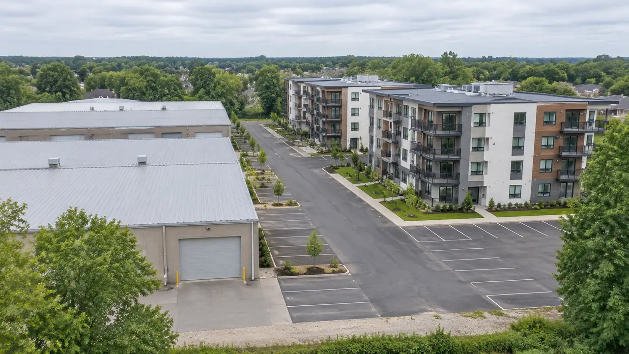
Include the buildings and surfaces that shape the decision: main structures, access roads, parking, open ground, water, and vegetation that affects visibility. Leave small objects and interior detail for a later pass. Keep the area tight enough to inspect. A scene with the right objects is more useful than a large scene with everything in it.
If a small structure changes how the site reads, include it; otherwise leave it for a later pass. The reviewer should be able to see the decision, not hunt for it. Parking areas, service yards, and loading zones often read as blank ground in a generated scene. Mark them before the review so nobody mistakes a working surface for development land.
2.2 What does GenAnywhere provide for the review?
GenAnywhere generates an editable 3D site model from satellite and map data for an area selected on a map. It identifies footprints, estimates heights, infers building types, and analyzes vegetation. Buildings, terrain, water, and vegetation remain separate layers. A reviewer can replace a building, move or rotate it, adjust its height and type, preview the scene, and export a universal GLB. Those controls support the review steps below.
3 Run the layer checklist
3.1 Which building checks belong on the list?
Check for missing major buildings, duplicated footprints, and heights that flatten the skyline. Confirm that roof forms match recent imagery and that building types fit the site reading. Look at the edge between buildings and streets, especially where a new access point is proposed. Mark each issue with a location and a short note so the next reviewer can find it. Compare the model with current imagery block by block. The mismatch is easier to describe when both views are open.
3.2 Which terrain, water, and vegetation checks belong?
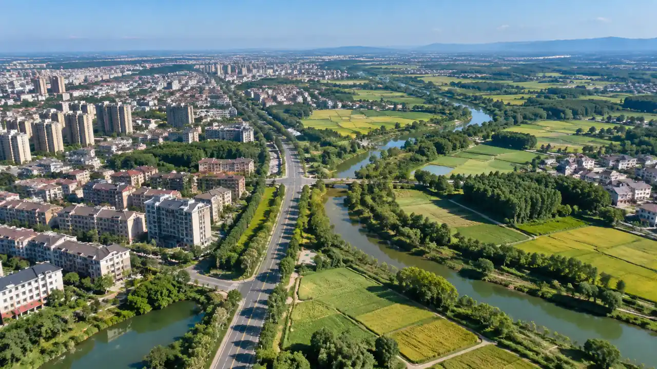
Trace roads and confirm that they sit on the ground. Look for slopes that run the wrong way, bridges that stop at the bank, and water bodies that sit above the terrain. Check that tree cover does not hide a building the review needs. Confirm that open ground reads as open ground, not as a planned surface. Finish one layer before moving to the next. If a road appears to climb through a building, the terrain and building layers disagree; note the location and check which layer to trust before editing.
4 Check edits and export
4.1 Which edits should the reviewer test?
Replace one building and see whether the block still reads correctly. Move a mass and rotate it to test a small option. Change a height and type, then check that the surrounding context still makes sense. The purpose is to confirm that the scene can carry a what-if question.
It is not a design exercise, and the result still needs professional judgment. Note the reason behind each edit, as well as the change itself. A later reviewer needs to know whether it was a test, a correction, or a proposal.
4.2 What must be checked before export?
Preview the scene and look for missing objects, floating geometry, and layer assignments that broke during editing. Export a sample and open it in the receiving tool. Check scale, orientation, object names, and whether the file loads without repair. The OGC 3D Tiles standard is a useful reference for how large 3D scenes are streamed and organized, even when the handoff uses GLB.
5 Record findings and limits
5.1 What belongs in the review log?
Record the boundary, imagery date, model version, reviewer, and every accepted or rejected change. Note which buildings were replaced and which heights were adjusted. Say which layers were left unchanged.
Add the assumptions that shaped the review. Keep the log with the exported file and make the version number easy to find. Add the imagery date to the opening page.
A reader who picks up the file six months later should not have to guess which site conditions it reflects. The log should also say what was not checked. A blank layer may look reviewed when it was simply skipped.
5.2 When does the review need a site visit?
Plan a visit when the decision depends on current conditions, hidden services, interior layout, or a dimension the model cannot provide. A building may have changed since the imagery date, or a use may be unclear. Record the gap instead of guessing. The model can organize the visit; it cannot replace the measurement. If a decision would change when a wall moves half a meter, the review has moved into measured work.
6 Put the checklist to work
6.1 When is GenAnywhere a sensible fit?
GenAnywhere fits an early site review where estimated geometry is acceptable and the team needs an editable scene. It suits workshops, option comparisons, and a clean GLB handoff. It also helps when map coverage exists but a drone flight or existing 3D base does not. The workflow overview shows the path from area selection to export.
6.2 When should the team use a different method?
Use measured survey, existing BIM, or photogrammetry when the review depends on current dimensions or a formal record. Use a specialist tool for policy tests, traffic capacity, drainage design, or structural questions. A generated context scene is the wrong instrument for those jobs. Choosing the right method is part of the review, not a failure of the model.
The two can run in parallel: generated context for the conversation, measured work for the commitments. Record the reason for the switch, too. A later team may inherit the decision and repeat the same trial without knowing why it was abandoned.
6.3 What does a complete trial look like?
Pick one site, one decision, and one receiving team. Assign a reviewer for each layer. Set a review date and a short acceptance list. Generate the scene, run the checks, test one edit, and export a sample.
Record the result and the open questions. If the trial supports the decision, extend the area; if not, the team has a clear reason to stop. Write the stopping rule in advance: layer owners, sign-off, and the result that ends the trial.
Generate a review site in GenAnywhere and run the checklist with your team.
7 FAQ
FAQ-1 Does the checklist replace a professional review?
No. The checklist organizes a visual review of a generated scene. It does not replace planning, engineering, surveying, or safety review. Those judgments depend on methods, data, and responsibilities that sit outside the model. Use the checklist to prepare better questions for the professionals who own those decisions. A short list of checked layers and open gaps is more useful to them than a polished image with no notes.
FAQ-2 Can GenAnywhere show separate layers?
Yes. Buildings, terrain, water, and vegetation remain separate in the editable scene. That separation lets a reviewer check one layer at a time and replace or adjust a building without rebuilding the whole site. It also makes the review log easier to write, because each change can be tied to a layer.
FAQ-3 What should a reviewer do with a missing building?
Add a note with the location and the source that confirms the building exists. If the edit is quick and the scene allows it, replace or add the mass and record the change. If the building changes the decision, pause the review and confirm the scope. Do not treat a gap as proof that the building is absent. A missing mass can come from imagery, from a footprint that was merged into a neighbor, or from a simple generation error. The note should say what was observed, not what was assumed.
FAQ-4 Can the exported model support a design review?
It can provide context around a design model, and it can carry a small massing option into a 3D tool. It does not replace a design model, a BIM authoring file, or a measured base. Test the export in the receiving tool and confirm what the team will actually use. Review the GenAnywhere workflow before the handoff.
Content and technical notes
This article was prepared by the GenAnywhere team with AI-assisted drafting and human review.
Product features, formats, and availability change as the platform evolves; refer to the official GenAnywhere website for current details.
For technical questions or corrections, contact support@genanywhere.com.
Last reviewed: 2026-11-05.