
Transit planning for the LA 2028 Games: what GenAnywhere adds
A site-context method for station areas, venue trips, and the blocks in between
Games transit work splits into two jobs that share a map. One job is permanent: stations, corridors, and the land uses that will outlast the event. The other job is temporary: shuttles, curb changes, and staging that last a few weeks. Reviewing them together is useful, provided the review keeps saying which is which.

1 What a Games-era transit review has to answer
The review has to answer a narrow question well: can a person get from a station to a venue, and from a venue back to a station, on the days that matter. Everything else is supporting detail. Projects that start from a corridor map often miss the last block, which is where the trip actually breaks.
1.1 Separate permanent projects from temporary operations
A station expansion and a Games shuttle program have different owners, budgets, and lifetimes. Mixing them in one diagram produces a plan that nobody can fund. Put permanent elements on one drawing and temporary operations on another, then use a third drawing to show where they touch. The third drawing is the useful one, because it shows the curb, the fence line, and the pedestrian route that both jobs need at the same hour.
1.2 Start from the station walkshed, not the venue
Venue plans tend to begin at the gate. Transit plans should begin at the platform. Walk outward from each station exit and note what a rider meets: a crossing, a parking lot, a fence, a freeway ramp. The walkshed is the area a person will accept walking, and its edge is usually a barrier rather than a distance. Identifying that barrier early tells you whether the plan needs a signal, a path, or a shuttle. The Federal Transit Administration publishes station-area guidance that treats the walk as part of the trip, which is a useful frame for this review.
2 Reading the corridor around each station
A corridor is more than a line on a map. It is a series of blocks with different widths, uses, and curbs. The review needs to read each block because that is where access is won or lost.
2.1 Measure the last block, not the straight line
Straight-line distance flatters a station. A venue that sits 1,200 feet away may require a 1,900-foot walk if the crossing is at the far corner. Time the walk at the hour the event ends, not at midday. Note the crosswalk width, the signal cycle, and whether the sidewalk narrows below a comfortable width. Those details decide whether a shuttle is needed for a short distance, and shuttle need is often the largest cost item in a temporary operations plan.
2.2 Note the land uses that generate trips at odd hours
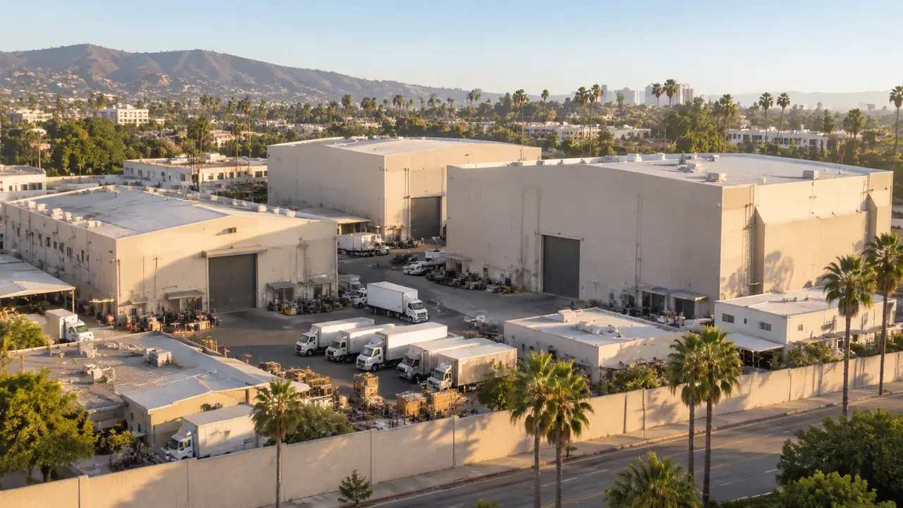
Stations sit inside neighborhoods that keep their own schedules. A distribution yard generates trucks at dawn, a school generates crossings at 3 p.m., and a night market generates foot traffic after the last train. Map those uses and their hours next to the event schedule. Conflicts often appear in the gap between the two, when a curb is needed by a shuttle and by a delivery at the same time. Naming the conflict early gives the operations team a chance to move one of them.
3 Testing station-area options before the board
Boards approve layouts, not intentions. A station-area review that shows two layouts side by side will get a decision faster than one that presents a single proposal and a list of concerns.
3.1 Compare two access layouts on the same block
Build the block once, then test two access arrangements inside it. In one, the pedestrian route runs along the frontage. In the other, it cuts through the middle of the site. Keep the buildings, trees, and street widths identical. The comparison exposes tradeoffs in shade, crossing count, and visibility from the platform. When both layouts sit in the same context, the discussion moves from preference to consequence.
3.2 Show the walk at eye level
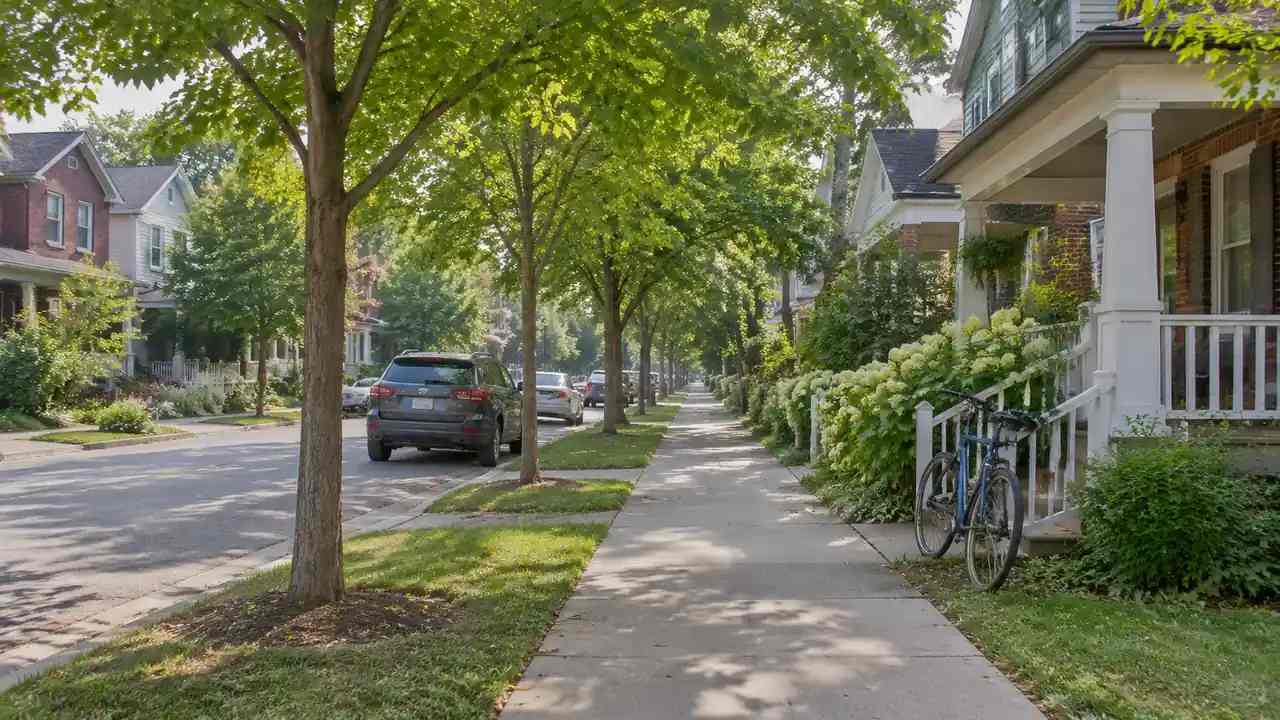
Plan views hide the experience of a walk. A short eye-level view from the station exit shows what a rider sees: the fence, the sign, the empty lot, or the shaded path. This is where a 3D site model earns its place in a transit review. GenAnywhere builds the block from map data, with buildings, terrain, and vegetation as separate layers. You can orbit to the exit, look down the route, and see whether the path reads as safe and direct.
4 Where temporary uses collide with permanent plans
Games operations introduce vehicles and fences into blocks that were designed for something else. The collision is predictable if the review maps it in advance.
4.1 Bus shuttles and curb space
A shuttle needs a stop, a layover space, and a place to turn. Those three requirements rarely fit on one curb. Map the curb by function: loading, parking, transit, and pedestrian. Then place the shuttle stop and see which function loses space. If the loss falls on a loading zone, the adjacent business will notice. If it falls on a crosswalk, pedestrians will notice. Either way, the review should name the tradeoff rather than discovering it during operations.
4.2 Construction staging on the same corridor
Station upgrades and venue buildouts often share a corridor and a calendar. Staging areas for materials, cranes, and worker parking compete with the shuttle route and the pedestrian path. Put the staging footprint on the same map as the temporary route. Where they overlap, set a date range and an owner for the conflict. A short table of overlaps is more useful than a long narrative, and it can be checked again as the schedule moves.
5 A 3D site model in the review packet
A site model helps a review see a station area as a place rather than a diagram. It is most useful when the packet states what the model contains and what it does not.
5.1 What GenAnywhere generates for a station area
Select an area on the map and GenAnywhere produces an editable 3D site model. It recognizes building footprints, estimates heights, infers building types, and reads surrounding vegetation. Buildings, terrain, water, and vegetation sit in separate layers that can be previewed and edited. A single building can be replaced, moved, or rotated, and its height and type adjusted. When the scene is ready, export a GLB file for downstream 3D, BIM, GIS, or game engine work.
5.2 Limits worth naming
The model is a context tool, not a ridership model, a traffic study, or a grading plan. It does not know boardings, headways, or event attendance, and its heights and footprints are estimates drawn from imagery. Terrain is generalized, which matters on a corridor with grade separation. Say this in the packet before anyone asks. A model presented with clear limits is easier to defend than one presented as a complete picture.
6 A review sequence that survives a deadline
Games deadlines compress review. The sequence below keeps the work moving without skipping the steps that prevent rework.
6.1 Facts, options, questions
Start with a one-page fact sheet for each station: exits, walkshed, barriers, adjacent uses, and known projects. Then present two options. Then list the open questions with owners. This order keeps the board from debating options before the facts are settled, which is the most common way a review loses an hour.
6.2 One owner per open item
Every open item needs a name and a date. "Coordinate with the city on the crossing" is not an item. "City traffic engineering to confirm the signal timing by March" is. The difference is whether the item can be closed. A review that closes items builds momentum, and momentum is what carries a project through a compressed schedule.
6.3 A short list of decisions for the board
End the packet with the decisions the board actually controls: which option to advance, which tradeoff to accept, and which item to escalate. Keep the list to three items. A long decision list invites deferral. A short one invites a vote.
If you want to test a station block on your own map, open the GenAnywhere app. The workflow overview shows how a selected area becomes an editable scene.
7 FAQ
FAQ-1 How early should station-area review start before the Games?
Start once the venue program and the station list are stable, which is often several years out. Early review is useful because the expensive decisions are the spatial ones: an exit location, a path alignment, a staging yard. Those decisions are hard to change late. A review that begins with the walkshed and the curb can run in parallel with engineering, and it gives the operations team a map to refine as the event schedule firms up.
FAQ-2 Can GenAnywhere model ridership or event attendance?
No. GenAnywhere generates and edits a site model from map and satellite data. It does not simulate trips, boardings, or attendance. Ridership and event demand belong in the regional travel model and the operations plan. The site model contributes context: where the station sits, what the walk looks like, and how the block changes when a temporary use is added. Keeping those roles separate makes each document easier to review.
FAQ-3 What should a station-area site model include?
It should include the station exits, the street network, the adjacent buildings, and the terrain that shapes the walk. Add the venue footprint if it is nearby, and the staging areas if they are known. Vegetation matters because it affects shade and sightlines. What it should not include is invented detail: a building that does not exist or a path that has not been designed. The model is most useful when it reflects what is there.
FAQ-4 How do teams compare a permanent station with a temporary venue shuttle?
Put both on the same map and compare the trips they serve. A permanent station serves daily travel and needs a durable access design. A shuttle serves an event window and needs a curb, a layover, and a turning path. The comparison should show where the two overlap and where they compete for the same space. Overlaps are opportunities for shared design; competition is where the plan needs a date and an owner.
Content and technical notes
This article was prepared by the GenAnywhere team with AI-assisted drafting and human review.
Product features, formats, and availability change as the platform evolves; refer to the official GenAnywhere website for current details.
For technical questions or corrections, contact support@genanywhere.com.
Last reviewed: 2026-11-17.