
Transmission tower layers: how GenAnywhere shows them
Buildings, terrain and vegetation switch on and off separately; the structures a line needs are placed over that ground, never inside it.
There is no tower layer in GenAnywhere. The layer panel holds three things: terrain, buildings and vegetation, all generated from map and satellite data. Towers, conductors and foundations come from the electrical design and sit over that ground as placed geometry. Once the split is clear, a layered corridor becomes a practical way to run a siting argument, and this article is about using it without overreading what a switch can tell you.
1 What the layer panel holds
1.1 The three rows on a line study
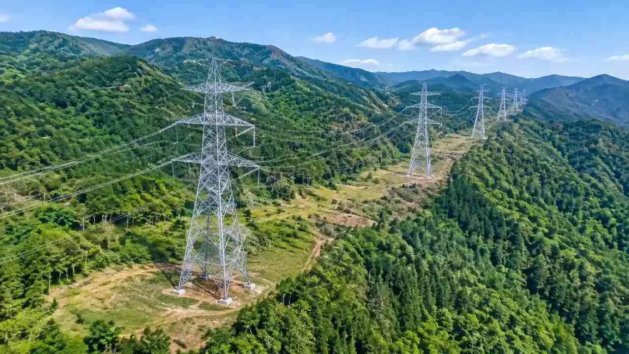
The panel has three rows. Terrain carries the ground surface and any water the capture records. Buildings carries every volume with a footprint in the map data. Vegetation carries the trees, scrub and hedgerows the analysis can pick out. Each row toggles on its own, so a corridor can be read as landform, as settlement or as cover without anything being rebuilt. On a tower study those three describe most of what a siting conversation needs: slope, crossings, neighbours and what has to be cleared. They also show what is absent, since fences, tracks and gates are not generated.
1.2 Why a tower never becomes one
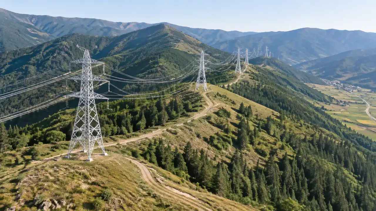
A tower has no footprint on the ground and no roof surface to infer, so there is nothing for the platform to generate. Structure geometry comes from a standard family or from the line designer, at dimensions the electrical design fixes, and it is placed over the scene rather than inside it. That difference matters at review time: hiding a layer changes the site, while hiding an overlay changes what your own file contributes. Two different actions, and they look almost identical on a screen.
2 Terrain as the siting view
2.1 Slopes, ridges and shelf width
With buildings and vegetation off, the corridor becomes a landform and the difficulty of each section turns visible. Ridges show where a route might run. Steep faces show where a platform would need cut or fill, and narrow shelves show where access would be tight and a crane pad would not fit. The surface is what the capture recorded rather than a graded design, so read it as a starting condition. For a spotting discussion that is the right resolution, because it names the sections worth arguing about.
2.2 Water crossings and access
Water appears inside the terrain layer, and on a line study it matters twice: as a crossing and as an obstacle to reaching a structure. A wide river sets the span the electrical design will have to work with; a small stream may decide where a temporary track can go. Turning vegetation off makes the water edge easier to follow. Nothing in the scene sizes a crossing or proposes a span, and no figure should be quoted from the screen. Where a valley narrows, the layer shows the two sides closing in, which is often where a span conversation begins.
3 Vegetation and the clearing question
3.1 Reading cover along the corridor
The vegetation layer shows where the corridor is wooded, grazed or mixed, and that pattern drives clearing volume, access and the visual argument at a public meeting. Hiding buildings makes the pattern easier to read on a busy screen. Because growth is captured on one date, a summer scene looks denser than a winter inspection would, and a block felled recently may still look standing. Say which season the imagery reflects when the audience knows the ground. A hedgerow that runs to the boundary is easy to miss in a full view and obvious once the buildings are off.
3.2 What the layer cannot say about clearance
The layer records vegetation as it was on the capture date and keeps no memory of earlier clearance. A corridor cut two years ago may still read as woodland, and a new access track may be missing altogether. Nothing in the panel separates regrowth from a mature stand, and no clearing width can be measured from it. Check the date before the session and flag the sections where the ground has changed since the capture. Mark those sections in the note that travels with the images, so a later reader is not misled by a picture of woodland that has already gone.
4 Buildings as constraints
4.1 Settlement along the route
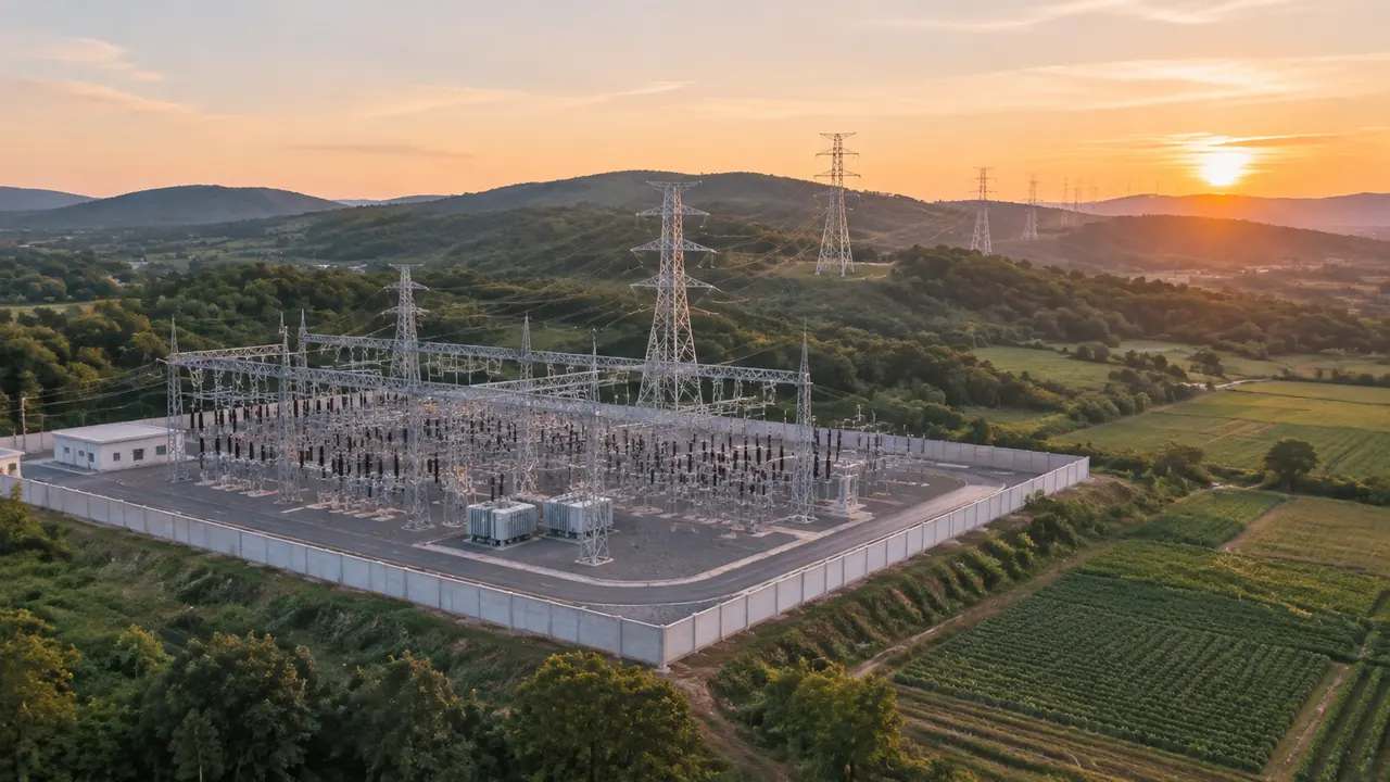
Farmsteads, sheds and village edges arrive as volumes with estimated heights and inferred types. On a line study they decide where a corridor is difficult politically, which is rarely the same as where it is difficult to build. Correct the few that carry the argument: a barn demolished last year, a new industrial unit, a house that has grown an extension. A stale building can support a case the ground no longer supports, and that kind of error is slow to unwind.
4.2 Buildings that are not there yet
Consented but unbuilt development will not appear, and neither will anything going up behind hoarding. If the review depends on future neighbours, say so and treat the gap as a known limitation rather than discovering it midway through the meeting. A massing block can stand in for a future building in a downstream tool, not in the generated scene. That distinction matters when the audience includes planners, because they will ask. Ask the planning team for consented schemes within a kilometre and list them in the note beside the images.
5 Limits of a layered corridor
5.1 No asset hierarchy
Layer control is coarse. You can hide all buildings or all vegetation, not the individual objects inside either, and there is no structure category to switch off, no conductor toggle and no way to isolate one tower for a close view. Reviews that need that belong in the design tool, where elements exist as objects with properties. The scene answers questions about the ground a line crosses, at the resolution of land cover rather than of components. Where a reviewer wants one structure against one building, that view is easier to build after import.
5.2 One date behind all three
All three layers come from the same capture, so they share one date and go out of step with the ground together. That is easier to explain than a mixed set of dates, and easier to forget once a corridor has been worked on for a year. Put the date in the caption of every image that leaves the room, and say it once at the opening rather than on each slide. Bodies such as IEEE publish the engineering material that sits on top of this context.
6 Running a layered review
6.1 A layer order that follows the questions
Start with terrain alone to agree the corridor, add buildings to discuss settlement, then turn vegetation on to discuss clearing. Each step closes an argument before the next one opens, and the audience follows a sequence instead of a set of toggles. Write that sequence into the agenda with the layer state for each step. Reviews that jump between combinations end with screenshots nobody can compare afterwards, which is a poor return on an hour of anyone's time. If the audience is new to the scene, spend a minute on the panel before the sequence begins.
6.2 Captioning what was hidden
A corridor with buildings hidden looks emptier than the place the team will visit, and that impression survives into the minutes. Label each image with the layers that were on, the viewpoint and the imagery date. The label costs a line and prevents the commonest misreading of a layered review, which is that the site has nothing on it. Where an image is going into a report, put the state in the caption rather than a footnote. A footnote sits below the fold in most reports, and the reader who needs it will not scroll to find it.
6.3 What travels with the export
The GLB carries the corridor as a whole: terrain, water, vegetation, existing buildings and any edits made before export. It does not carry towers, conductors, foundations or electrical data, and the layer switches are not saved into the file. Say which state each screenshot used, so a team opening the export can rebuild a comparable view. The platform overview lists what each layer contributes to a scene. Receiving tools will show everything the file contains, so a corridor that looks bare here can look busy once opened elsewhere.
Open the GenAnywhere app and set up a tower study
7 FAQ
FAQ-1 Are transmission towers a layer?
No. The layers cover buildings, terrain and vegetation, all generated from map and satellite data. Towers, conductors and foundations are electrical design assets, placed over the scene from a library or a line designer's file. They never become part of the generated site, and they cannot be toggled with the platform's layer controls. A tower review uses the layers to discuss ground, then places structures to show how a decision would read.
FAQ-2 Can I hide towers to see the ground?
There is no tower row to hide, because towers are not part of the site model. If structures were placed over the scene, their visibility is controlled by whichever tool holds them, not by the layer panel. To see bare ground, hide buildings and vegetation instead, which exposes terrain, water and slope. That view is the one to use when a siting argument is really about landform.
FAQ-3 Do the layers help with clearing widths?
Not in any measurable way. The vegetation layer shows where cover exists, not how wide a cleared strip would need to be, and nothing in the panel reports distance or area. Clearing width depends on conductor data, voltage, structure type and the rules the line is designed to, none of which the scene holds. Use the layer to show where clearing would fall, then take the width from the line design.
FAQ-4 What does the export contain?
A GLB with the corridor context: terrain, water, vegetation, existing buildings and any edits, ready for 3D, BIM, GIS and engine workflows. It contains no towers, conductors or electrical data, and the layer states used in a review are not stored in it. Test the file in the tool that will open it, and pass on the segment names used in the meeting. A short note on what the file excludes saves the receiving team from hunting for structures that were never there.
See how a corridor becomes a layered review
Content and technical notes
This article was prepared by the GenAnywhere team with AI-assisted drafting and human review.
Product features, formats, and availability change as the platform evolves; refer to the official GenAnywhere website for current details.
For technical questions or corrections, contact support@genanywhere.com.
Last reviewed: 2026-11-13.