
Pipeline models: what GenAnywhere includes in the build
A build holds the corridor a pipeline would cross, and the pipe itself stays in the engineering model.
In GenAnywhere, a build is the generated site you work in before export: terrain, water, vegetation and building masses across the extent you selected. For pipeline work that means the ground along a route, the streams and roadsides it passes, and the buildings near the corridor. Pipe, valves, pump stations and the alignment itself are not in the build. They are design geometry, added downstream against the site the build provides. Keep that division in mind from the moment the extent is drawn.
1 What a build holds
1.1 Terrain and water along the route
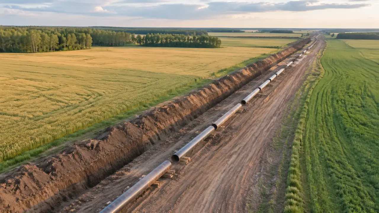
The terrain in a build comes from map and satellite data, so the corridor arrives with its slopes, field patterns and drainage lines already in place. Water bodies appear where the imagery shows open water, including streams, ponds, canals and the wider rivers a route has to cross. The surface is continuous, which means a bank reads as part of the ground rather than as a separate plane. That continuity is what makes a corridor walk useful in the opening hour of a project. Nobody has to explain which field is which when the scene shows it.
1.2 Buildings and vegetation beside it
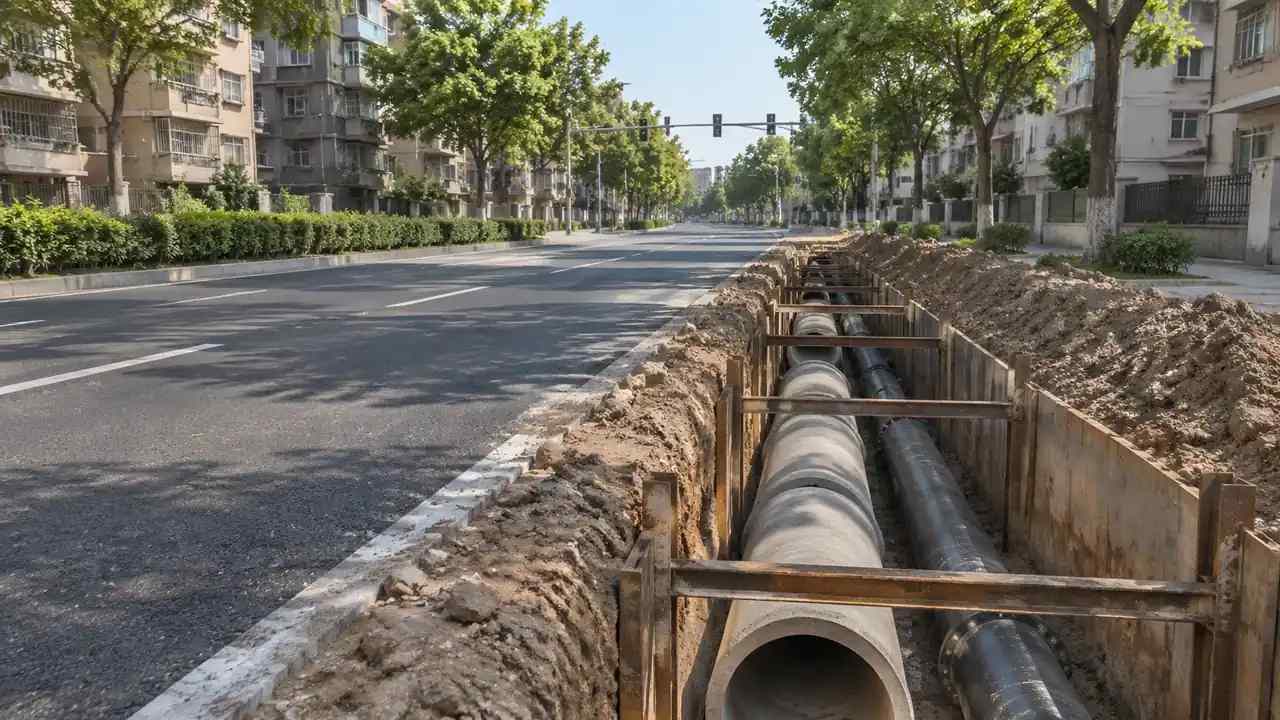
Buildings inside the extent are generated as masses with footprints, estimated heights and inferred types. Along a rural pipeline those are mostly farm buildings, sheds and the occasional house; near a town the mix changes and the masses crowd the corridor. Vegetation is read as coverage from the same imagery, which shows where a wood or a hedge line sits without giving individual trees. Both can be reviewed as separate layers, and both can be edited where the source data is out of date. Do that early, before anyone builds an argument on a missing shed.
2 What a build leaves to the design model
2.1 Pipe, valves and stations
The line pipe, valves, pig traps, pump or compressor stations and their equipment are designed, procured and modelled by the pipeline team. None of it is generated, and a build that looks complete as a landscape is empty as a pipeline. That is the intended division rather than a gap. The build answers where the ground is difficult; the design model answers what is buried, at what depth and with which fittings. Keep the two lists separate in the notes and the review stays calm.
2.2 Alignment and crossing design
The route alignment, the crossing method at a river, the depth of cover and the spacing of block valves are engineering decisions with calculations behind them. A build can show the river, the bank profile and the buildings nearby, which is the context those decisions need. It cannot show the crossing itself or say whether a horizontal directional drill is feasible. Pipeline guidance such as the material published by the American Petroleum Institute covers design and operating practice that sits well beyond a site scene. Use it to frame the questions the scene cannot answer.
3 Shaping a build
3.1 Extent and detours
A build is shaped by the extent you draw on the map, and that choice does more for the review than any later edit. A narrow corridor along the alignment keeps the detail high and the file light; a wider extent brings in the compounds, access routes and neighbours that a route discussion usually reaches. If the alignment has two variants, generate two builds. Comparing them side by side is more honest than stretching one scene to cover both. Name each variant by the feature that separates it.
3.2 Edits before the build is fixed
Buildings can be replaced, moved, rotated, re-typed and re-heighted, and those edits are the main way a build is corrected after generation. A shed demolished last year, a new barn, a house that the imagery missed: all can be fixed in the scene without touching the terrain. Terrain and water follow the source data and stay as they are. Note the edits as you make them, because the build is a snapshot and the next person will read it as fact. A build with three documented edits is easier to defend than one with none.
4 Checking a build before it travels
4.1 Walking the corridor
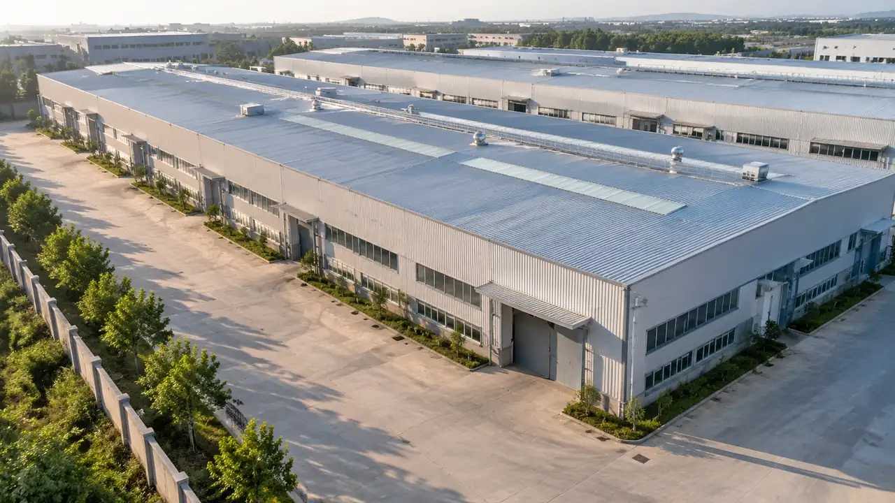
Preview the build and walk it at eye level. Eye level is where a corridor stops being a line on a plan and becomes a place with a slope, a fence and a view. Check the water crossings, the buildings close to the route and the points where the ground rises. Most of what a build gets wrong is visible in a two minute walk, and almost none of it is visible in a single overhead view. Walk it twice: once towards the crossing, once away from it.
4.2 Layers and comparison
Terrain, water, vegetation and buildings can be toggled as layers, which turns the build into a comparison tool. Hide vegetation to see the ground; hide buildings to see the corridor without the settlement around it. In a route workshop that toggling answers questions faster than a new render. Show the layer state you are using, so the audience knows what it is looking at and does not read an empty field as a cleared site. The same toggle trick works in a one to one meeting at a desk.
5 Passing the build to the pipeline team
5.1 Export and naming
When the build is right, export a GLB. The file carries the generated site into 3D, BIM, GIS and game engine workflows, where the alignment and the facilities are placed on top of it. Name the file by project, corridor and date, and keep the version that was reviewed. The platform overview lists what the generated scene includes, and forwarding that link saves a paragraph of explanation. Keep the reviewed version until the next one is agreed.
5.2 The note that travels with it
A short note makes a build usable: extent, imagery date, buildings changed, layers used and what is missing. The missing list is the important part, because a pipe is not in the file and everyone who opens it will look for one. Say which model holds the alignment and who owns it. Two paragraphs of context are worth more than a polished file with no explanation. If the receiving team has not opened a build before, offer a short walkthrough.
Open the GenAnywhere app and build a pipeline corridor
6 Before you start a build
6.1 Scope the ground that matters
Decide which part of the route the build has to answer for. A crossing, a compound, a stretch through a village and a long open run each need a different extent and a different level of detail. Building the whole route at the detail of a crossing is slow and produces a file that is awkward to open. Build the segments that carry decisions, and keep the rest for a map. Write the split down so the next build follows the same logic.
6.2 Agree where assets come from
Before the build starts, agree which model supplies the pipe, the stations, the access tracks and the construction equipment. That conversation takes five minutes and prevents the usual confusion when a build is opened by someone who was not in the kickoff. It also decides how the export will be used: as a background, as a review surface, or as the base for a route animation. A one page agreement at the start prevents a rebuild at the end.
6.3 Next step
Name the decision the build supports and the person who makes it. A route selection, a landowner conversation and a construction planning session all use the same corridor in different ways. If nobody can name the decision, the build is premature. Waiting costs nothing; a build nobody uses costs the credibility of the next one. Ask what would change if the build did not exist, and listen to the answer.
7 FAQ
FAQ-1 Is the pipeline in the build?
No. The build holds terrain, water, vegetation and building masses. Pipe, valves, stations and the alignment are design geometry from the engineering model. The build gives that geometry a place to sit and a landscape to be reviewed against. Say so at the start of any session where the build is shown to people who expect a pipeline. The same sentence works in a workshop, a call and a handover email.
FAQ-2 Can I change the terrain?
Terrain follows the source map and satellite data, and there is no sculpting tool in the build. Buildings can be edited, moved and re-typed, and layers can be turned on and off. If a design changes the ground, that change belongs in the design model downstream, where it can be measured. Keep the generated surface as existing condition. Terrain edits made by hand in another tool break that link, so keep them in the design file.
FAQ-3 Does the build include roads?
Roads are not generated as separate features. They appear in the terrain and imagery as part of the ground, which is enough to see where a route crosses one. Access tracks for construction are design work and are added downstream. If a review depends on a specific junction, check that it appears before the build is exported. Zoom to the junction rather than trusting the overview.
FAQ-4 How many builds does a project need?
As many as it has distinct questions. One build per crossing, per compound or per route variant is a workable habit, and each one stays small enough to open quickly. A single build covering everything tends to be too coarse where the decisions are. Name each build by the feature it answers, and the set becomes a library rather than a pile. A short index of builds, with extent and date, pays for itself.
See how a generated site moves into a GLB workflow
Content and technical notes
This article was prepared by the GenAnywhere team with AI-assisted drafting and human review.
Product features, formats, and availability change as the platform evolves; refer to the official GenAnywhere website for current details.
For technical questions or corrections, contact support@genanywhere.com.
Last reviewed: 2026-11-13.