
Loudoun data center pause: how do teams use GenAnywhere?
What changes when a county slows new filings, and what a site team can still do.
A pause on new data center applications does not stop the work that site teams already have. It shifts attention from new filings to the campuses under review, the land around them, and the questions the county keeps asking. GenAnywhere gives a team a shared 3D site picture for those conversations without waiting for a full design package.
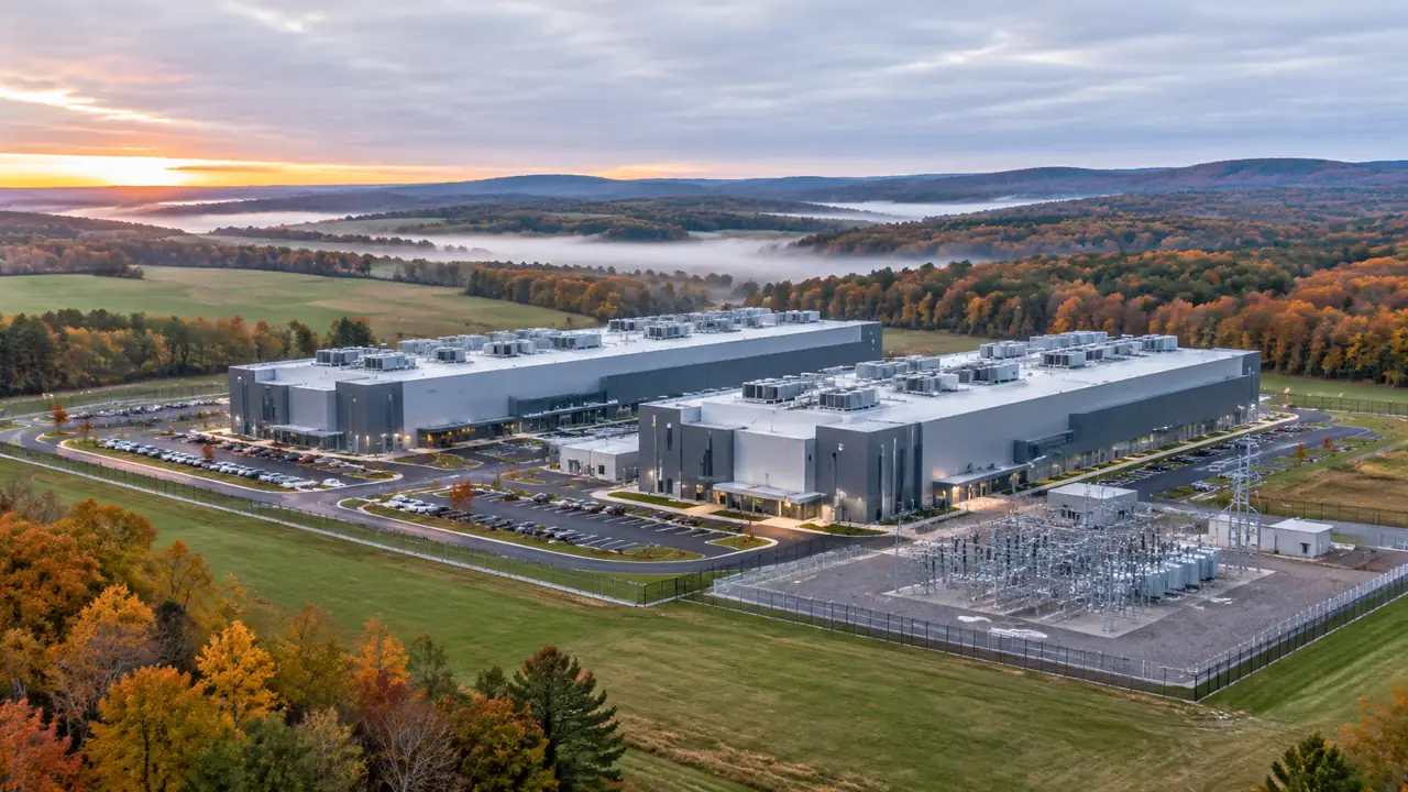
1 What a pause changes for site teams
A pause is procedural. It does not settle a technical question. Existing approvals, vested rights, and applications already in the queue usually follow their own rules. Site teams should map where each project sits in that process before they change course. The pause then becomes a planning window rather than a shutdown.
1.1 Separate approved work from new filings
List the projects in three groups: approved and permitted, under review, and not yet filed. Give each group its own owner and its own evidence file. A model of an approved campus may serve operations and screening, while a model of an unfiled parcel serves comparison purposes. Set a review date for each group and name the person who will answer questions. A simple status sheet is enough. The goal is to avoid treating a pending application as if it were already approved, or an approved campus as if it were still under debate.
1.2 Read the surrounding land pattern
Data centers do not sit alone. They share roads, substations, buffers, and drainage paths with farms, warehouses, and subdivisions. Trace those edges on a map before drawing a new campus. The pattern explains why some parcels attract objections and others do not. It also shows where a shared access road could serve more than one site.
2 How to screen a site without a full design
Early screening is about fit, not finish. A team needs to know whether a parcel can hold the building envelopes, parking, and buffers that the use requires. It also needs to see how the parcel meets the road and the neighboring land. A lightweight model is enough for that stage.
2.1 Compare parcels on the same map frame
Use one view, one scale, and one set of assumptions for every candidate parcel. If each site gets its own camera and its own massing rules, the comparison collapses into preference. Keep a short list beside the model for ownership, zoning status, and utilities, then attach it to the review record. The model shows geometry; the list shows status.
2.2 Test building placement against setbacks and roads
Draw the setback envelope before placing the building inside it. Check the truck route, the employee parking, and the buffer to the nearest home. Move the mass a few times and note which arrangement leaves room for future expansion. GenAnywhere lets a planner adjust building height and type and move blocks without rebuilding the surrounding terrain.
Keep a short note on why each placement was rejected. The rejected options often answer a reviewer's question faster than the preferred one. Store the note with the model so the reasoning survives a staff change.
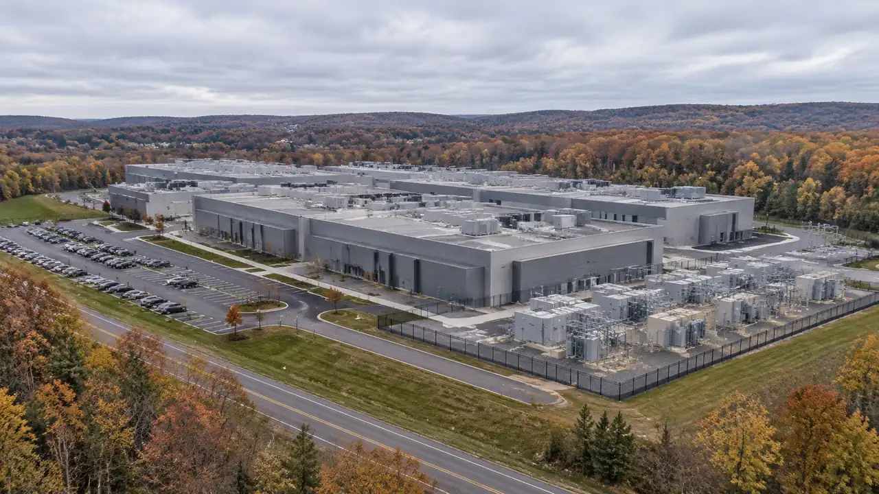
3 Where site context earns its keep
A county review often turns on visual questions: what will the neighbor see, where will the trucks turn, and how much of the tree line remains. A site model answers those questions in a way that a site plan alone cannot. It does not answer the engineering questions, and a team should say so early.
3.1 Build an editable campus from map data
Select the parcel and a band of surrounding land, then generate the scene. GenAnywhere identifies building footprints, estimates heights, infers types, and reads the vegetation around the site. Buildings, terrain, water, and trees arrive as separate layers. A team can replace a test building, reclassify a warehouse, or lower a mass to study the view from a nearby road. The scene is a working model, not a fixed illustration.
3.2 Read the drainage and utility edges
Look for the low ground, the ditches, and the utility corridors that cross the parcel. The model will not design stormwater systems or size power connections, but it will show where those systems are likely to run. Mark the likely corridors on the model and flag them for the engineers. Walk the low ground after a rain if the team can. The model shows the shape of the land, but a wet ditch tells you where water actually goes. Photograph the spots and add them to the review notes as field observations.
4 Questions the county review will ask
County staff tend to ask the same questions in the same order. The team that prepares those answers before the hearing spends less time correcting misunderstandings. U.S. Department of Energy material on data center efficiency and siting is one useful reference for framing the resource questions.
4.1 Identify what the model cannot answer
Power capacity, water supply, noise, and fiscal impact sit outside a site model. Say that on the opening slide, not the last. Reviewers trust a team that names its limits. The model covers footprint, height, access, and visual context, which is enough for a land-use conversation when the other studies are clearly listed.
4.2 Prepare a short constraints brief
Write one page with the parcel, the proposed envelope, the access point, and the known constraints. Attach the model view that shows each item. Keep the language plain and avoid internal shorthand. End the brief with the three questions the team most needs answered. A reviewer who knows what is still open can focus on those items. A brief that claims to answer everything usually hides the weak spots.
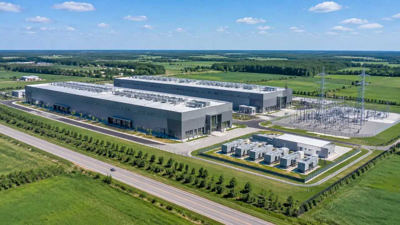
5 Handing context to engineers and counsel
The model is a coordination tool between disciplines. Engineers need the geometry, counsel needs the record, and the county needs a clear account of what was submitted. A clean handover serves all three without pretending the model is a permit set.
5.1 Export a clean scene
Name the layers, remove test variants, and keep one camera that matches the review view. GenAnywhere can export the scene as GLB for common 3D, BIM, GIS, and game-engine workflows. The engineering team can then place its own utility and drainage studies against the same geometry. Confirm the receiving team's format needs before the export so no one rebuilds the site.
5.2 Keep source and license notes
Record where the map and satellite context came from and when it was captured. Note the license terms for the exported model and any limits on reuse. The model is not a substitute for a current site visit or a utility record. Some source data carries limits on redistribution or commercial use. The export is a working file, not a data giveaway. Note the terms in the handover so the next team does not assume more than it has.
6 A practical way to use a pause
A pause rewards teams that organize. Speculation can wait. Use the time to compare approved and pending sites on common ground, to document assumptions, and to prepare for a later filing window. GenAnywhere can support that work from a browser, with an editable scene that the whole team can review. Open the app for a site comparison, and follow the workflow when the team needs a repeatable review sequence.
6.1 Use the time for comparison, not speculation
Do not invent demand numbers or assume a policy outcome. Compare what the team can see: parcel size, access, buffers, and surrounding uses. Rank the sites on those visible factors and label the rest as unknown. A defensible comparison is more valuable than a forecast that no one can support.
6.2 Document assumptions
Keep a running list of every assumption about height, use, parking, and access. Give each one a source and a date. When the pause lifts, the list becomes the basis for a new filing rather than a fresh start. It also shows the county that the team has done its homework.
6.3 Stay inside the public process
A model can inform a community meeting, but it cannot replace one. Publish the assumptions, invite corrections, and keep the record open. Do not present the model as an approved plan or as evidence of entitlement. Keep a public log of what the team asked and what the county answered. The log protects both sides when the record is reviewed later. It also shows the community that the process is active rather than stalled.
7 FAQ
FAQ-1 Can a paused project still use a site model?
Yes, if the work stays within the project's current status. A model can help an approved campus plan operations or help a pending application prepare clearer answers. It cannot create rights or substitute for a filing. Check with counsel on what may be shared publicly during the pause, and keep the model labeled as a study aid.
FAQ-2 How current is the map data behind the model?
The scene is built from satellite and map data available for the selected area at the time of generation. That data may lag a recent site change. A team should check the capture date and confirm conditions on the ground before relying on the model for a submission. Update the scene when newer source data becomes available.
FAQ-3 Does the model show power or water capacity?
No. It shows buildings, terrain, vegetation, and site geometry. Power, water, wastewater, and noise studies belong to the specialists who own those systems. Use the model to locate the likely corridors and to give those specialists a shared base. Treat capacity questions as a separate engineering and utility task, and keep the visual scene clearly labeled.
FAQ-4 What should a county reviewer receive?
A short brief, one consistent set of views, and a clear list of assumptions. Include the parcel boundary, the proposed envelope, the access point, and the surrounding context. State what the model does not cover. A reviewer who can trace the logic quickly is more likely to focus on the real issues rather than on presentation gaps.
Content and technical notes
This article was prepared by the GenAnywhere team with AI-assisted drafting and human review.
Product features, formats, and availability change as the platform evolves; refer to the official GenAnywhere website for current details.
For technical questions or corrections, contact support@genanywhere.com.
Last reviewed: 2026-11-19.