
Power grid edits: what GenAnywhere lets teams adjust
Buildings and layers around a substation site can be edited; the conductors, towers and network behind them cannot.
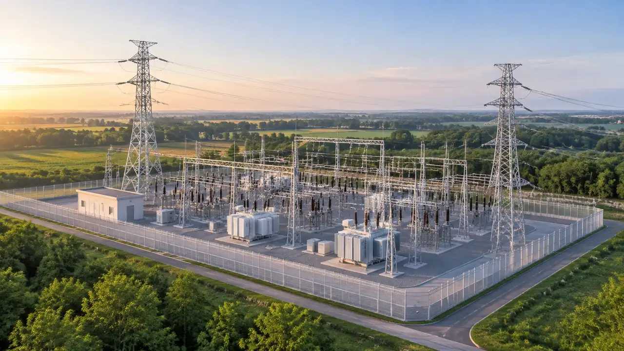
Edits in GenAnywhere cover buildings and layers. At a grid site that means the control building, the stores, the offices and the site boundary can be rearranged, and terrain, buildings and vegetation can be read separately. It does not mean towers, conductors or switchgear can be moved, because none of them are in the generated scene. The distinction decides what a grid review can settle.
1 The edits available
1.1 Buildings on and around the site
A building can be replaced, moved, rotated and adjusted in height or type. On a substation site the useful cases are modest: removing a store that would be demolished for a new bay, moving a workshop away from an access road, raising an office block to see how it sits against the switchyard. Those are massing questions, and massing is where early grid discussions spend most of their time. The edits are quick enough to try two options while the meeting is still running. Keep the number small, because a site with ten changes is harder to explain than one with two.
1.2 Terrain, buildings and vegetation as layers
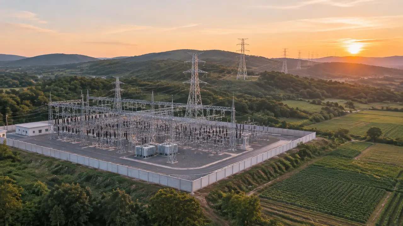
Terrain, buildings and vegetation can be previewed and managed as layers. Hiding buildings shows the ground a site occupies before anything was built on it, which is useful when the argument is about land take. Hiding vegetation shows the fence line and the access roads without the softening effect of trees. Moving between these states is fast, and it lets a reviewer answer one question at a time without asking for a new model. A layer state that is not mentioned in the caption is a trap for the next reader.
2 Where edits help a grid project
2.1 Site access and laydown
Most construction arguments at a substation are about access: how a low loader reaches the gate, where the crane pad goes, how much ground is available for laydown. The generated scene shows the approach roads, the buildings and the ground levels around the site, which is enough to test whether an arrangement is plausible. Moving a shed to open a route is a two minute edit. It will not tell you whether the route is legal or adequate, and it does show whether the idea is worth pursuing. The scene also shows whether a laydown area would sit on a slope, which is the kind of detail a plan tends to hide.
2.2 Corridor and vegetation context
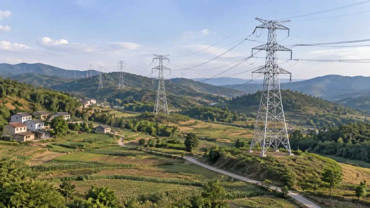
Where a line leaves a site, the surrounding land matters as much as the site itself. The vegetation layer shows tree cover and open ground along the corridor, which is the context a route discussion needs. If a screen of trees is doing visual work for the site, hiding that layer shows what the site looks like without it. That is a useful, if uncomfortable, view for a review that has been relying on the trees to justify a layout. Corridor discussions also benefit from a wider frame, since tree cover reads differently at a distance.
3 What edits do not reach
3.1 Towers, conductors and switchgear
Transmission towers, conductors, insulators, busbars, transformers and switchgear are equipment and design items. None of them are generated, so none of them can be edited in the scene. When a team asks whether a tower can be shifted, the answer is no, and the shift belongs to the line design in its own tool. The generated scene gives that design a ground surface and a surrounding landscape to be tested against, which is a supporting role rather than an editing one. Ask the line designer for the tower positions as a separate file, then place them against the exported ground.
3.2 Network behaviour
The scene has no electrical model. Load flow, fault levels, protection settings, earthing and reliability are all outside it, and rightly so, since they depend on network data that a site model never holds. A substation view is a picture of a place, not a simulation of a network. Organisations such as IEEE publish the technical work that those studies rest on. Keep the two in separate documents and the review will be clearer for it. A network diagram on the same slide as a site view invites a question that neither can answer alone.
4 Editing with a record
4.1 Before and after frames
Capture the site before any edit and again after the change. A pair of frames makes the edit legible in a way that a single image cannot, especially when the change is a removed building rather than an added one. Name the pair with the same stem and a suffix. Teams that keep the pairs in one folder can rebuild an argument months later, which is more than can be said for a folder of unlabelled screenshots. Store the pairs beside the export, so the record and the file travel together.
4.2 Correcting the site as built
Substations are extended in stages, and the imagery behind a scene may predate the current bay arrangement. Correct the buildings that are obviously wrong, and accept that the switchyard will not match. The switchyard is equipment, so its bays, gantries and transformers are not in the scene to begin with. Say that at the start, and the audience will not spend the session looking for a transformer that was never modelled. Where the bay arrangement differs from the scene, mark the difference on the plan rather than trying to model it.
5 Review and handoff
5.1 A sequence for a grid session
Open with the site in its landscape, then the site boundary, then the specific area under discussion. Each frame answers one question: where the site sits, how it is enclosed, what the edit does. A grid review often has a planning audience and an engineering audience in the same room, and the sequence is what keeps both oriented. Put the network diagrams on a separate slide, since they answer a different kind of question. Keep the frames in the order the audience will ask their questions, and the session will run itself.
5.2 Exporting for the design team
Preview the scene and export a GLB when the site context has to travel. The file carries ground, buildings and vegetation into 3D, BIM, GIS and game engine workflows, where line design and equipment can be placed beside it. Note the edits you made and the imagery date, because both affect how the file should be read. Test the import in the receiving tool, which for grid work is often a GIS application rather than a BIM one. Say which version of the site the file represents, since a grid site can change between two site visits.
6 Before you export
6.1 Scope
Decide whether the file covers the site, the corridor or both. A site file supports access and laydown arguments. A corridor file supports route and vegetation discussions. A combined file tends to be coarse at the site end, which is usually the end that matters most. Export two files if two decisions are on the table, and name each by the area it contains. A corridor file also needs a stated width, because the extent is not obvious from a name alone.
Open the GenAnywhere app and frame a grid site
6.2 Missing assets
Towers, conductors, gantries, transformers, switchgear and fencing are all design or equipment items. List them with an owner before the file leaves. That list is what stops a receiver from assuming the file is a full site model. It also makes clear which parts of the picture were generated and which were placed, which is the distinction that matters when the file is reused.
6.3 Purpose
State what the file is for: a land take discussion, an access check, a visual for a consultation, a base scene for a design review. Purpose decides the extent, the corrections and the assets the receiver prepares. An export without a purpose tends to be opened once and then filed. One line is enough, and the platform overview sets out what the file will contain. Purpose also decides whether the vegetation layer is left on, which changes the impression the file gives.
7 FAQ
FAQ-1 Can I edit power lines in GenAnywhere?
No. Conductors, towers and insulators are design and equipment items, and the platform does not generate them. Line changes happen in the software that holds the line design. The generated scene provides the land the line crosses, so the design can be tested against real ground and real surroundings. That is a different job from editing the line itself.
FAQ-2 What can I adjust at a substation site?
Buildings can be replaced, moved, rotated and adjusted in height or type. Terrain, buildings and vegetation can be shown or hidden as layers. Those controls cover the site as a place rather than the plant as equipment. Say that range at the start of the meeting so nobody arrives expecting a plant layout. Most early grid discussions are about access, land take and visual effect, which is where these edits help.
FAQ-3 Can I show pylons and transformers?
Not as generated content. They come from an asset library or a design model and are placed in the downstream tool, against the exported ground. Many teams use simple blocks for an early review and detailed models later. Say which one the audience is looking at, because a block and a detailed tower invite very different assumptions about what has been checked.
FAQ-4 Do my edits change the network model?
No. Editing a building changes the scene, not the electrical model or the design files. Nothing in the platform writes back to a network model, a protection study or a load flow case. Those remain with the engineers who maintain them. Keeping the scene as a one way context source is what makes it safe to use in a review.
See how a grid site context moves into a GLB workflow
Content and technical notes
This article was prepared by the GenAnywhere team with AI-assisted drafting and human review.
Product features, formats, and availability change as the platform evolves; refer to the official GenAnywhere website for current details.
For technical questions or corrections, contact support@genanywhere.com.
Last reviewed: 2026-11-13.