
Railway export: where GenAnywhere sends the GLB
The GLB is the ground a railway design sits on: it goes to the alignment team, the estate team and the people who will be shown the scheme.
The file that leaves GenAnywhere after a railway session is site context, not a railway. It carries the ground, the water, the vegetation and the building masses along the stretch that was drawn, and it goes to whoever owns the line design, the land record or the public conversation. Track, signalling and overhead line equipment stay with the railway model and are placed on that ground later.
1 What travels and what stays
1.1 The site that supports the line
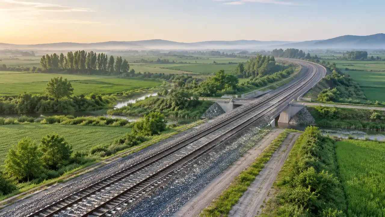
The export holds terrain along the stretch, open water where the imagery shows it, vegetation cover and building masses: houses that face the line, goods sheds, depots, the station building, warehouses on an industrial spur. Heights are estimated from the same imagery, so a two storey terrace may read as one. Terrain shape is the useful part, because an embankment, a cutting and a level crossing all read as ground rather than as an object. That is the file's job and it does it without a track in sight. The platform overview lists the generated set in full.
1.2 The railway that comes after
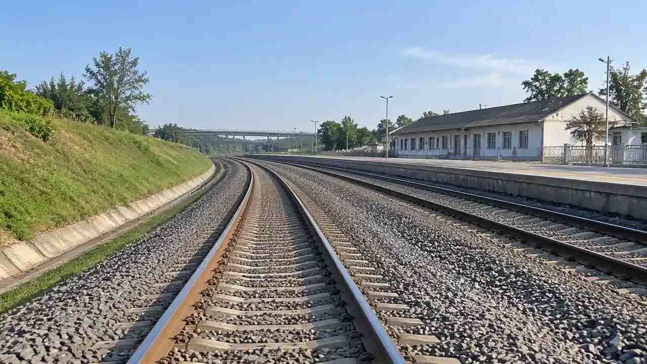
Track, switches, signalling, masts, overhead line equipment, cable routes, platforms and lineside cabinets are railway design assets. They are not generated, and no export will add them. The International Union of Railways publishes material on how those systems are specified and operated, which is a better source than a picture when the conversation turns technical. Agree early which model supplies them and who places them, because that decision decides whether the site file is a backdrop or a base.
2 Two clocks in one project
2.1 The ground changes slowly
Landscape moves at the speed of construction and demolition: a shed appears, a field gets a new drainage channel, a house is extended. A generated site catches the state of the imagery and holds it, which makes it a stable reference for a design cycle. Teams that treat the site as a constant stop re-importing ground every time an option shifts. One ground file, dated and named, can serve a whole option study and keep every option comparable on the same surface.
2.2 The alignment changes quickly
An alignment moves by a few metres from one option to the next, and each move changes what the ground looks like from the driver's seat. The site file does not need to follow those moves. It needs to stay still while the alignment is tested against it, so the comparison between options is about the line rather than about a re-generated hillside. Separate the two clocks in the project plan and the export question answers itself. Mix them and every design change triggers a re-export that nobody needed.
3 The engineering stop
3.1 Laying the alignment on the ground
The alignment team imports the site into its own environment, brings in the track model and checks how the line sits against embankments, bridges and buildings. That check is engineering work with design data behind it, and the site contributes the setting rather than the answer. What the site does well is show a room-level problem quickly: a parapet that clips a roofline, a platform that ends inside a shed, a footpath that meets the line where no path exists in the file. Those are the findings worth an hour of anybody's morning.
3.2 What the engineering team needs from the file
Give them every layer, the imagery date and a list of the buildings you changed. They will strip what they do not want and keep what they do, but a missing layer is harder to recover than an unwanted one is to hide. Tell them the extent in words as well as in the file name, because a corridor can be mistaken for its neighbour when two stretches look alike. A short note with four facts saves the opening ten minutes of a coordination call, and it is the cheapest thing in the whole handover.

4 The estate and planning stop
4.1 Land, boundaries and access
The estate team reads the same file against boundaries, ownership and access routes that the platform does not generate. Bodies such as the Open Geospatial Consortium publish standards for moving spatial data between systems, which is the practical question when a GLB meets a land record. The site shows where a building stands relative to the line and to a river; the estate layers show who owns the ground and which route reaches it. Keep those two readings separate in the meeting or the discussion drifts into a title question.
4.2 Showing the scheme to people who are not engineers
The same export often ends up in a walkthrough for a council committee or a community session. Here the site earns its keep, because a view along the line at eye level explains a scheme faster than a plan does. Add simple blocks for the proposed structures, label them as proposals, and keep the ground and the existing buildings as they are. Audiences accept a rough block on accurate ground far more readily than a polished building on ground nobody recognises.
5 Keeping versions straight
5.1 A register beats a folder
Railway projects accumulate exports the way a kitchen accumulates receipts. A one page register with the date, extent, imagery date and the person who made it turns a folder of files into a set that can be reasoned about. Add the option each file supported, if it supported one. When somebody asks which ground the 2026 option was tested on, the register answers in seconds and the folder answers after twenty minutes of file names that all look similar. Two people adding rows to one page is easier than three folders kept by three habits, and it survives staff changes.
5.2 What a re-export breaks
A new export replaces the ground with the current scene and does not carry anything placed downstream: no track, no platforms, no signage. Anyone who has positioned a design against the old file has to repeat that work, so re-export sparingly and announce it. If a building in the scene was wrong and the fix is small, consider editing that building rather than regenerating the stretch. Regeneration is the right answer when the extent was wrong, and an expensive answer when one roof was.
Open the GenAnywhere app and start a railway site
6 Before you send it
6.1 Extent and detail for the receiver
Length costs detail. A fifty kilometre corridor in one file gives the receiver a shape and very little else per station, while four shorter scenes give them stations they can walk through. Ask the receiving team which they need, and do not assume the whole route is better. Most railway questions are local: a junction, a depot entrance, a bridge, a level crossing. Build the scene around the question and note where the boundary sits, so the next person does not read the edge as the end of the world.
6.2 Write the covering note
Four facts belong in the note: the extent, the imagery date, the buildings you edited and the railway model that will supply the track. Add the tool you expect them to use. That note does more for the relationship than an extra day of scene work, because it tells the receiver what they are looking at before they form an opinion about it. Send it in the same message as the file, not in a follow-up that arrives after the file has been opened and judged.
6.3 Decide the next step together
End the handover by agreeing what happens to the file next: who places the alignment, when the next review is, and whether a second scene is needed for a different stretch. A railway export that arrives without a next step tends to sit unopened in a downloads folder until somebody needs it urgently. One sentence about the next review is enough, and it turns a delivery into a piece of work that has a place in the programme. Put the date in the register at the same time, while the conversation is still live.
7 FAQ
FAQ-1 Is the track in the export?
No. Track, switches, signalling, masts and overhead line equipment come from the railway design model and are placed on the site in a downstream tool. The export carries terrain, water, vegetation and building masses along the corridor, including the station building where the imagery shows one. Plan the placement step before the review so nobody spends the meeting looking for rails that were never going to be there.
FAQ-2 Where should the file go?
To the team that owns the alignment, because that team decides what the ground has to support. The land record and the communications set usually follow, and both read the same ground file without changing it. Sending it to three teams at once is fine if the note is clear about who owns the next step, and confusing if it is not, since each team will assume another one is placing the track.
FAQ-3 How do I handle a design change?
Let the ground file stay as it is and change the design against it. Regenerate when the site itself is wrong, meaning the imagery predates a building that matters or the extent missed a feature. Announce a regeneration before it happens, because anyone who has placed a design on the old file will need to repeat that work, and a warning costs one line while a surprise costs an afternoon.
FAQ-4 Can the export show a station?
It shows the station building as a mass with a footprint and an estimated height, plus the sheds and houses around it. Platforms, canopies, track, signage and footbridges are not generated and arrive with the railway model. For a station review that split is useful, because the building and its setting can be discussed without the platform layout, and the platform layout can be discussed separately with the people who design it.
See how a railway site moves into a GLB workflow
Content and technical notes
This article was prepared by the GenAnywhere team with AI-assisted drafting and human review.
Product features, formats, and availability change as the platform evolves; refer to the official GenAnywhere website for current details.
For technical questions or corrections, contact support@genanywhere.com.
Last reviewed: 2026-11-13.