
Terrain change: what GenAnywhere lets site teams compare
Grading, erosion, and water movement seen across two points in time
A site is not the same place it was three years ago. A field becomes a graded pad, a bank erodes, a drainage channel shifts, and a stockpile appears where a photograph showed open ground. Site teams need a way to see those changes and describe them without overstating what the evidence supports. GenAnywhere builds an editable 3D site model from a map selection, so a team can compare the ground it sees now with the conditions it expected.
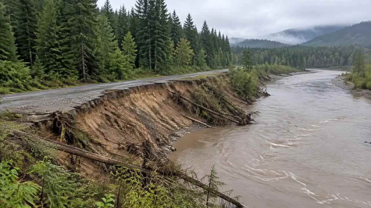
1 What a shifting site means for the review
1.1 Which changes matter most?
The changes that matter depend on the project. For a building site, grading and fill placement matter because they change the pad and the drainage. For a corridor, a shifted channel or a new embankment can change the alignment. For a waterfront site, bank erosion matters because it changes the relationship between the land and the water. A review should name the changes that affect the decision in front of the team, not catalog every difference between two images. A change that matters to one team can be irrelevant to another, so the review should start from the decision, not from the picture.
1.2 How does a team spot them?
Terrain change is easiest to see when the camera and the question stay fixed. Start with the features the project depends on: the pad, the access road, the drainage path, the bank, the tree line. Look at each one in the same view at both dates. A change that is obvious from above may disappear at eye level, and a change that matters at eye level may be invisible in an overview. Using more than one viewpoint is a simple way to avoid missing the change that actually affects the site.
2 Reading a site before and after
2.1 How do teams set up a fair comparison?
Keep the camera position, the viewing direction, and the layer settings the same for both scenes. If the new scene is shown from a higher angle or a different season, the comparison mixes the change in the ground with the change in the view. Record the source date of each scene. Then list what changed and what stayed the same. A fair comparison is less about the images and more about the discipline of holding everything else constant. Compare the same feature in both scenes, because a difference in color can come from season or light rather than from the ground.
2.2 What should they look for in the ground?
Look for new cut slopes, fresh fill, changed drainage lines, exposed soil, and new stockpiles. Look at the edges of the site, where construction often starts and where erosion often shows. Look at the relationship between the pad and the nearest low ground. These are visual cues, not measurements. They tell a team where to look more closely and which questions to bring to a surveyor or an engineer.
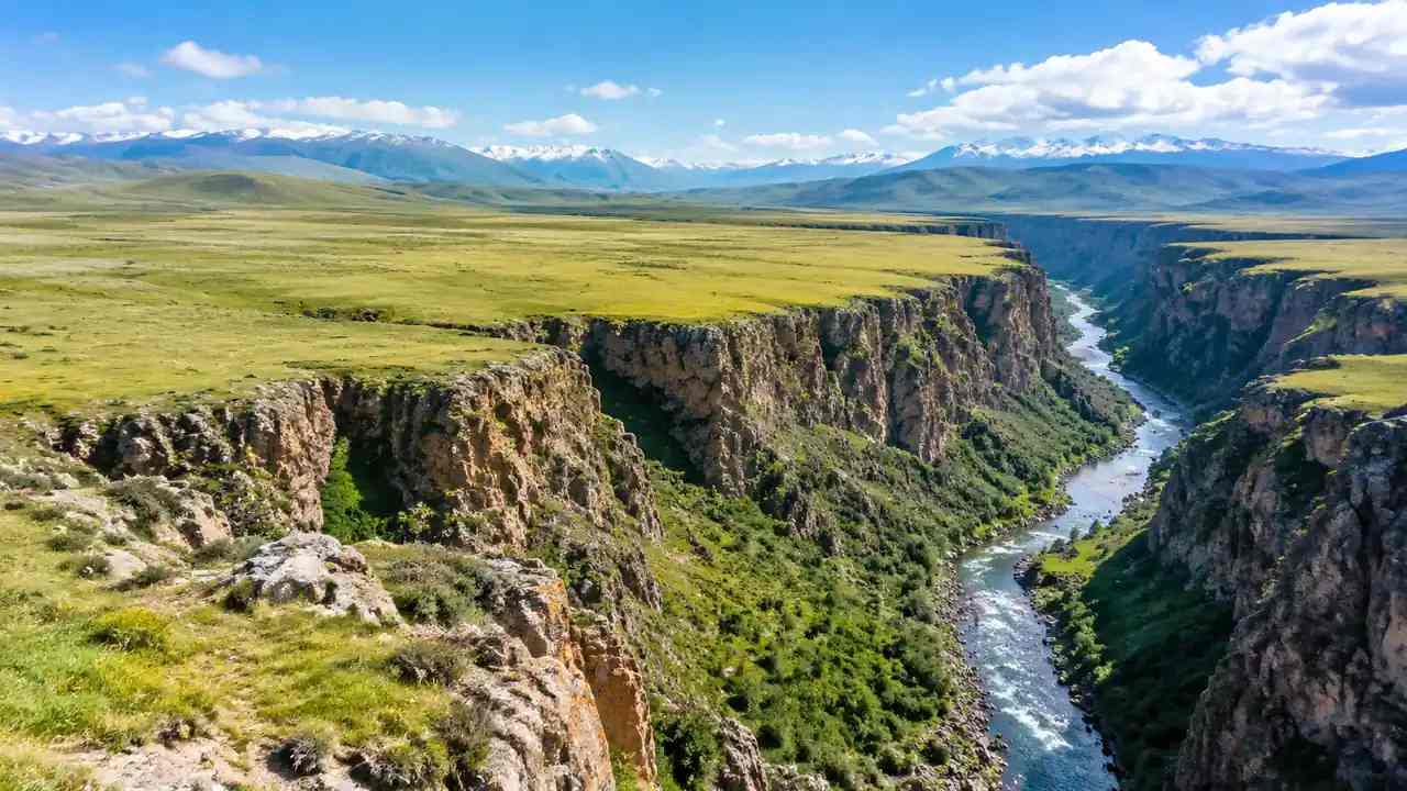
3 Reading water edges and banks
3.1 How do banks and channels move?
Water moves soil during high flows and leaves it somewhere else. A bank that looks stable in a dry season can retreat during a flood, and a channel that looks fixed can migrate across a floodplain over years. Comparing two scenes can show where the water edge has moved and where new sediment has appeared. It can also show where a road, a fence, or a building now sits closer to the water than it did before. Those observations are useful for planning a site visit.
3.2 What should teams not conclude?
A visual comparison does not measure erosion rates, flood risk, or channel stability. Those conclusions need hydrology, survey data, and repeated observations. The scene can show that a bank has changed, but it cannot say how fast it will change next year. Keep the language descriptive: the edge has moved, the soil is exposed, the channel appears wider. Let the technical studies turn those observations into a finding.
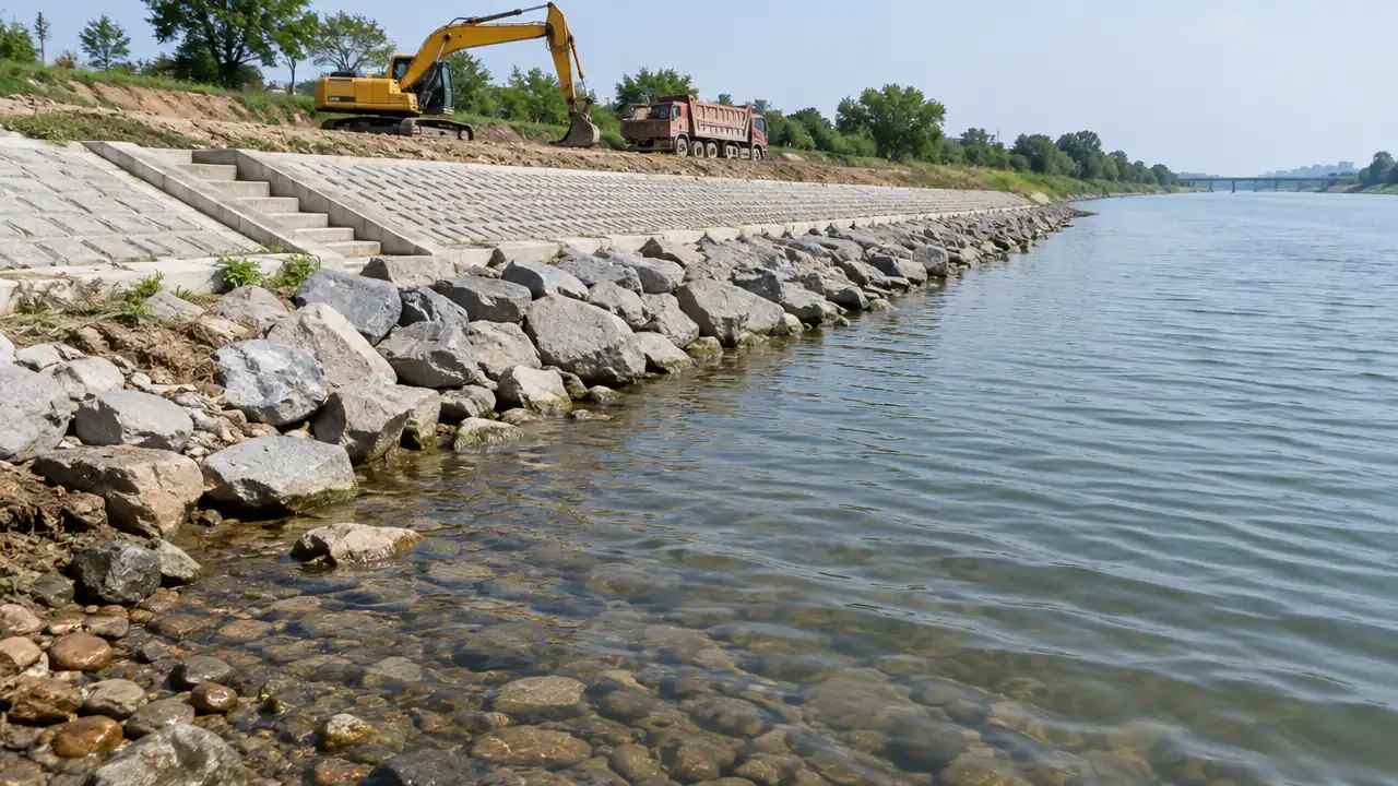
4 Keeping review notes usable
4.1 What should be recorded?
Record the two source dates, the views used, and the features compared. Note what changed, what did not, and what could not be seen. Add the questions that need a survey or a technical study. Keep the note short and specific. A reader should be able to understand the comparison without opening the scenes, and a reviewer should be able to repeat it with the settings you recorded. If the source imagery for one date is older than expected, say so, because the comparison may span more time than the note implies.
4.2 How do teams share findings?
Share the scenes with the note, not instead of it. A picture without a date and a viewpoint can be read as a general claim about the site. A short note that says what was compared and what remains uncertain keeps the conversation honest. When the finding goes to a client or a board, present it as an observation that supports a next step, such as a survey, a hydrology study, or a site visit.
5 Where GenAnywhere fits
5.1 What can teams build?
GenAnywhere generates a 3D scene from an area chosen on a map, then lets a team edit the buildings it finds. A structure can be replaced, moved, rotated, or changed in height and type, and terrain, water, and vegetation are generated and matched to the ground. Buildings, terrain, and planting can be viewed and managed as separate layers. For a change review, that means a team can rebuild the same area and compare the ground it sees with the layout it assumed. The scene can be rebuilt again when a newer source becomes available, which supports a later check without starting the review over.
5.2 What does export support?
After preview, the scene exports as a general GLB file for 3D, BIM, GIS, and game engine workflows, including the directions covered in the official tutorials. A team can share the scene with an engineer, a surveyor, or a communications lead without asking each of them to use the same authoring tool. The file is a review asset, not a survey product, and the receiving software decides how coordinates are handled. Test the handoff before a review depends on it.
6 Limits and next steps
6.1 When is imagery not enough?
When the question is about volume, rate, or cause, imagery is background. A stockpile change, a bank retreat, or a channel shift needs survey data and a technical interpretation. The USGS publishes earth science and mapping resources that help teams frame those questions. Use the scene to decide where the survey should look, then let the survey and the technical study carry the conclusion. That division keeps the review credible.
6.2 What belongs in a review file?
Two dated views, a short change list, the open questions, and the name of the reviewer. Add the assumptions about what was compared and what could not be seen. Note the studies that would resolve the uncertainty. Keep the file short enough that a project manager will read it before the next meeting. A review file that is easy to read is more likely to influence the decision than one that is complete but ignored. Name the person who will follow up on each open question, so the file does not end with a list and no owner.
6.3 How does a team start?
Pick one site where a change is suspected and build the current scene. Compare it with the conditions the team expected, using the same camera and the same layer settings. Write a one-page note on what differs and what needs a closer look. If the note changes the next step, the method is working. Then repeat it on the next site where the ground and the assumption may have parted ways. Keep the note with the scenes so the next reviewer can repeat the comparison with the same settings.
Start with a map selection in the browser app, then follow the site workflow to prepare the comparison.
7 FAQ
FAQ-1 Can the platform measure volume change?
No. The platform builds a visual scene from map and satellite data. It does not compute cut and fill volumes, erosion rates, or stockpile quantities. Those measurements need survey data and a technical method. The scene can show where the ground looks different and help a team decide where to measure. That is a useful opening step, but it is not a quantity takeoff, and it should not be presented as one.
FAQ-2 Does the model update by itself?
No. A scene is built from the map and satellite data available in the platform at the time it is created. It reflects the source conditions, not a live feed. To compare two periods, a team builds the scene again and checks the source date of the imagery. Any change in the ground after that source was captured will not appear. Record the date so readers know what the scene represents.
FAQ-3 How do teams compare two dates?
Build the same area twice and keep the camera, the direction, and the layer settings identical. Put the two views side by side and list the differences in plain language. Note which differences matter to the project and which are just seasonal. Record the source date of each scene and the name of the person who built it. The notes are what turn two pictures into a review finding.
FAQ-4 What does the export suit?
The GLB export is a general scene for review and visualization. It suits design discussions, site briefings, and handoffs to 3D, BIM, GIS, or game engine teams, including the tools covered in the official tutorials. It does not carry survey coordinates, change measurements, or regulatory boundaries. Confirm how the receiving software handles scale and orientation, and test the import before a workflow depends on it.
Content and technical notes
This article was prepared by the GenAnywhere team with AI-assisted drafting and human review.
Product features, formats, and availability change as the platform evolves; refer to the official GenAnywhere website for current details.
For technical questions or corrections, contact support@genanywhere.com.
Last reviewed: 2026-11-08.