
Wildfire terrain planning starts with a 3D baseline, GenAnywhere
A shared view of slope, access, and building clusters gives a recovery conversation somewhere solid to begin.
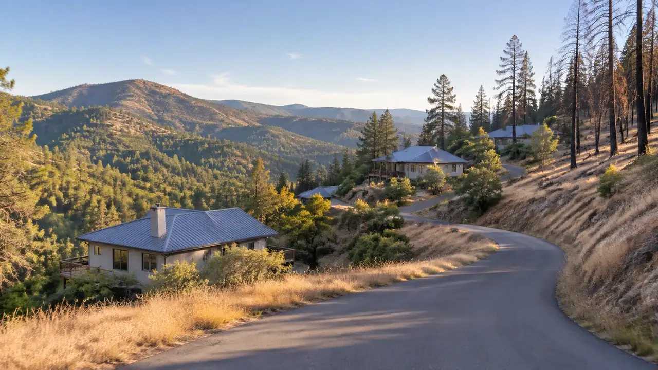
A wildfire changes the ground a community knows. Slopes that were hidden by trees become visible, roads lose their shade, and rebuild questions arrive before anyone has mapped the new baseline. A 3D terrain view gives those conversations a shared reference, as long as it is clear about what it does not measure.
1 What a terrain baseline contains
A baseline is a record of the ground as it stands, not a prediction. For wildfire recovery, it usually includes slope shape, ridgelines, drainages, roads, and the footprint of what remains.
1.1 Slope shape matters more than a single number
A steep parcel and a gentle one can sit side by side, and the transition between them often matters more than either slope alone. The shape of the ground governs where water runs, where a road can climb, and which side of a building faces uphill. A 3D view shows that shape in a way a contour map does not, especially for residents who are new to reading contours. Residents often describe a slope by the street it drains toward, and the 3D view lets that description sit beside the map.
1.2 Access and water in the same view
Access roads and water sources belong in the baseline because they shape what is possible during a rebuild. A view that shows the road network, the driveways, and the nearest water body alongside the terrain gives a community a realistic picture of constraints. It also helps a team avoid proposing a layout that looks fine on a flat plan but sits behind a locked gate. A driveway that looks generous on a plan can narrow at a culvert, and the view shows that pinch before a design depends on it.
2 Read the terrain around the structures
The built pattern is the part residents recognize. Reading it against the terrain turns a general conversation about wildfire into a specific one about streets and homes.
2.1 Identify the building clusters
With GenAnywhere, a team maps the affected area and generates an editable 3D site model from satellite and map data. Building footprints, estimated heights, inferred types, terrain, water, and vegetation arrive in layers, so clusters, isolated structures, and open ground can be read together. A planner can adjust a building volume to test a rebuild idea and preview the result before export. The scene is a working reference, not a damage assessment. A damaged structure and a standing one look alike at this scale, so the note matters.
2.2 Follow the roads in and out
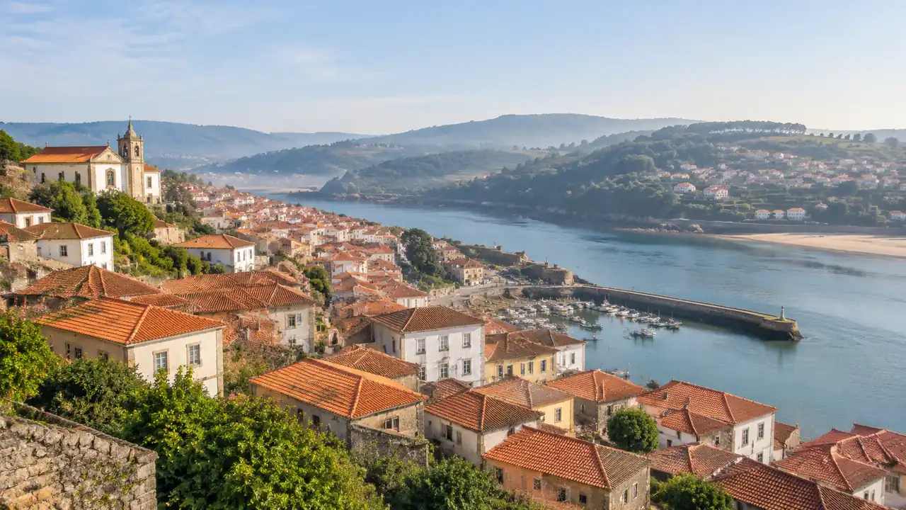
Evacuation and access questions turn on the road network. Check where the main road enters the area, where side streets dead-end, and where a slope or a drainage crossing narrows the route. A 3D view makes those pinch points easier to discuss with residents than a list of street names. Note them in the baseline so the next conversation starts from the same map. Mark the routes that serve more than one cluster, because those carry the most pressure after an event. A dead-end street with one exit deserves its own note, even when it serves just a handful of homes. Those details rarely appear in a regional map, and they are often the ones residents raise.
3 Support the rebuild conversation
Rebuild decisions are local, emotional, and often rushed. A terrain baseline cannot make them, but it can keep the discussion focused on the ground rather than on rumor.
3.1 Compare siting options on the same hillside
A family or a small community may want to compare a rebuilt structure in its old location against a nearby alternative. GenAnywhere lets a team move or rotate a building volume and adjust its height, then view the result against the same terrain. Comparing options from one camera position keeps the conversation honest about slope, access, and exposure to the uphill side. The scene shows spatial trade-offs, not a safety determination. Showing two options side by side is often more useful than arguing about one in the abstract.
3.2 Keep the limits visible
A wildfire review attracts strong opinions, and a polished image can be mistaken for an expert finding. Put a short limits line on every view: no fire behavior, no risk rating, no structural assessment. The line protects the team and respects the residents, who deserve to know which questions the scene can answer and which need a fire professional. Residents can accept a limit when it is stated plainly, and they tend to distrust a scene that claims more than it can show.
4 Where the scene stops
The boundary is especially important after a fire, when communities are looking for certainty. A terrain scene offers context, not assurance.
4.1 No fire behavior, no risk score
GenAnywhere does not model fire spread, ember transport, fuel loads, or structure ignitability, and it does not produce a risk score. Those questions require fire behavior analysis and site assessment by qualified professionals. A terrain scene can show the shape of the ground and the pattern of buildings. It cannot tell a resident whether a house would survive another fire.
4.2 Clear handoff to fire professionals
When a rebuild plan moves forward, the scene can travel with it. GenAnywhere exports a general GLB for 3D, BIM, GIS, and game engine workflows, including Unreal Engine, Unity, Blender, Revit, Rhino, SketchUp, ArcGIS Pro, GISBox, and Wings Engine. The export carries a permanent commercial license, with limits on resale of raw files and on AI training use. Fire and planning professionals can use the terrain context alongside their own assessment, without treating the export as a substitute.
5 Keep a baseline others can reuse
A baseline is more useful when the next team can pick it up without a briefing. Dates and notes do most of that work.
5.1 Date the imagery and note the season
Imagery captured before a fire shows a different landscape from imagery captured after. Label each view with the capture date and, where known, the season. Vegetation changes with the year, and a scene built in spring may look unlike the same ground in late summer. The label tells a reader which version of the place they are looking at. A note on cloud cover or recent clearing helps as well, since both change what the imagery shows.
5.2 Record what changed after the event
Note the structures that are gone, the roads that are closed, and the areas where clearance work has begun. The scene may not reflect those changes, so the note carries them. A short change log beside the baseline prevents a pre-fire image from being used to plan a post-fire rebuild, which is one of the easiest mistakes to make under pressure. Keep the change log short and dated, and put it next to the baseline rather than in a separate folder.
6 Bringing the terrain review together
The steps below keep a recovery conversation grounded and make the handoff to professionals clearer.
6.1 Frame the question around access
Write the question in one line, such as whether a rebuilt cluster can keep two usable ways out. Access frames the terrain review in terms residents understand, and it keeps the discussion away from claims the scene cannot support. Access also gives residents a concrete thing to check on their own street. The terrain workflow overview shows where a baseline fits the wider review.
6.2 Walk the ridge and the drainage
View the area from the ridge above and from the drainage below. Check how the slope meets the road, where the tree cover remains, and which structures sit on the uphill side. Those two views often reveal the pattern that a street-level image hides. If the two views disagree, note the disagreement and ask the fire authority which one matches the ground. A sketch or a photo from the ground can sit beside the view, which helps residents place themselves on the slope.
6.3 Involve the local fire authority
The U.S. Forest Service fire resources describe fuel, behavior, and management topics that sit well beyond a terrain scene. Local fire authorities and planning staff hold the knowledge that turns a baseline into a decision. Bring them in early, with the scene as a shared reference rather than as a finding.
Open the GenAnywhere workspace to build a terrain baseline for a recovery area.
See how the site workflow fits together before the rebuild discussion starts.
7 FAQ
FAQ-1 Can GenAnywhere assess wildfire risk?
No. The platform does not produce a risk score. It shows terrain, buildings, water, and vegetation so a team can discuss the physical setting. Wildfire risk assessment draws on fuel, weather, topography, and structure characteristics, and it belongs to qualified fire professionals. A terrain scene can support that work as context, not as a finding.
FAQ-2 Does the platform model fire spread?
No. There is no fire behavior model behind the scene, and the platform does not account for fuel loads, wind, ember transport, or suppression. Those analyses use specialist tools and field data. A 3D terrain view can show ridges, drainages, and access routes that a discussion needs, while fire behavior remains with the professionals who study it.
FAQ-3 What should a terrain baseline include?
Include slope shape, ridgelines, drainages, roads, driveways, water, and building clusters. Add the imagery date, the season where known, and a short log of changes after the event. Label estimated building heights as estimates. A baseline with those elements can be reused by a planning team, a fire authority, or a community group without a long briefing.
FAQ-4 Can the scene help a rebuild decision?
It can help a team compare siting options on the same terrain and discuss access, slope, and the uphill side of a structure. It does not decide whether a site is safe, buildable, or insurable. Those questions involve the local fire authority, planning staff, engineers, and insurers. Use the scene to frame the conversation and keep the decision with the people accountable for it.
Content and technical notes
This article was prepared by the GenAnywhere team with AI-assisted drafting and human review.
Product features, formats, and availability change as the platform evolves; refer to the official GenAnywhere website for current details.
For technical questions or corrections, contact support@genanywhere.com.
Last reviewed: 2026-11-09.