
Arena site planning: what GenAnywhere adds before tendering
A working checklist for testing access, massing, and event-day movement before design fees are committed.
An arena is shaped by the land around it as much as by the roof over it. Before tendering, a planning team needs to know how crowds arrive, how trucks reach the back of house, and how a large volume sits against nearby streets. A map-based 3D site model puts that context in one view early, so the brief asks sharper questions and bidders price real constraints. Arena site planning is mostly a process of narrowing questions, and the scene should support that.
1 Start with the land constraints that drive the design
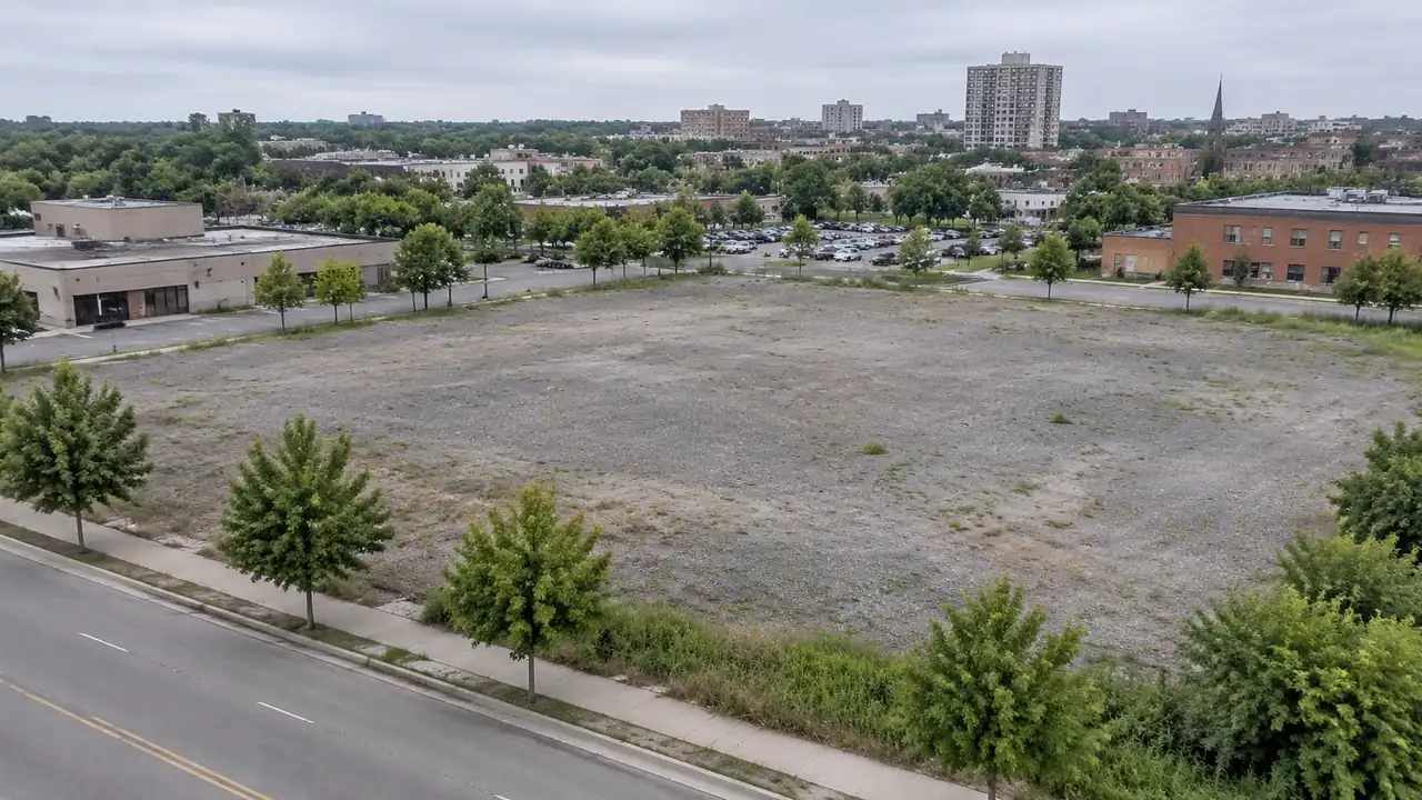
Most arena problems surface at the edges of the site. Access, servicing, and the distance to neighbors set limits that no architectural flourish can undo. Walking those edges in a model is faster than discovering them after the facade is fixed.
1.1 Map access roads and transit edges before anything else
Begin with the routes people will actually use. Street width, junction spacing, and the walk from a transit stop shape how a crowd of any size disperses. A model built from map data lets the team trace those routes in three dimensions rather than arguing over a flat plan. It also makes the difference between a five-minute walk and a fifteen-minute walk visible to everyone in the room. Keep the same arrival modes for every option so the comparison stays fair.
1.2 Check service yards and back-of-house routes
Arena operations depend on deliveries that never meet the public. Mark where trucks enter, where they wait, and how they leave without crossing a pedestrian route. If the yard is too tight for articulated vehicles, that finding belongs in the brief rather than in a contractor's variation. The same check applies to waste collection, catering, and emergency access. The service yard also has to work outside event days, when deliveries are smaller but less predictable. A layout that suits a concert load-in may waste space the rest of the month.
2 Test seating mass and roof scale in context
A seating bowl looks different when it sits beside low-rise streets. Context changes how the building reads, and it changes what neighbors will accept. The model is a way to see that before the design team commits to a shape.
2.1 Compare the bowl footprint with neighboring blocks
Set the proposed footprint into the surrounding block and look at the gaps. The distance to the sidewalk, the space left for queuing, and the relationship to the nearest homes all matter. Rough comparisons are enough at this stage because the goal is a conversation with architects, not a fixed design. What the team needs is a shared picture of what the site can hold. Mark the assumptions on the view so a later reviewer knows what was estimated.
2.2 Read roof height from the street
The roofline is what most residents see every day. Drop the camera to eye level and check how the arena presents itself from the main approach. A tall blank wall and a stepped edge create very different impressions, and the brief should say which one the client expects. Views from the opposite side of the street are worth capturing too, because that is where objections usually start. A consistent set of views also makes the client conversation easier.
3 Review event-day movement around the block
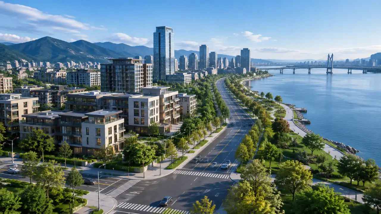
Event-day flow is a sequence, not a snapshot. A visitor moves from a car, a bus, or a platform to a gate, then into a concourse. Each transfer point is a place where the plan can fail quietly on a normal afternoon and loudly on a match night.
3.1 Trace pedestrian arrival from parking and transit
Follow a visitor from the parking deck or station to the gate and note where the path narrows or crosses a service road. The model shows pinch points without needing a traffic study, and it gives the transport consultant a clear starting map. Plot the same route for several arrival modes so the team can see which one the site favors. Walking the route in the scene also shows where a grade change or a fence forces a detour. Those small obstacles add up over a crowd.
3.2 Reserve queuing space at gates and security lines
Queues need somewhere to stand. Measure the apron in front of each gate and compare it with the number of entry lanes the operator expects. When the space is short, the fix may be a wider plaza or a different gate layout. Either choice is easier to discuss before the facade is drawn, and cheaper to change while the site plan is still open. Keep the queue area free of trees, signs, and other fixed objects.
4 Use a quick model to brief consultants
Planners rarely need a finished design to start a useful conversation. They need a shared picture that consultants can challenge. A site model built from map data gives them that, provided everyone understands what it represents.
4.1 Replace a flat plan with an editable scene
GenAnywhere builds a site from satellite and map data, including building outlines, estimated heights, terrain, and vegetation. Planners can replace a single building, move or rotate it, change its type, and preview the result in separate layers. For an arena brief, that means the surrounding context can be adjusted without redrawing the whole plan. The result is a discussion aid, not a measured survey or an engineering model. Each layer can be hidden so the group can focus on one question at a time.
4.2 Export GLB into design and visualization tools
When the layout is settled, the scene exports as a general GLB file that opens in common 3D, BIM, GIS, and game-engine workflows. Buildings, terrain, and vegetation stay in separate layers, so a visualization team can light the scene while a design team checks footprints. Anyone who needs the site in another tool can follow the workflow overview instead of rebuilding context by hand. Output formats vary by workflow, so check the target tool before promising a specific file. Keep a copy of the original scene, because the exported file is a snapshot rather than a live link.
5 Know what the model cannot settle
A site model shows position and mass. It does not carry the evidence that approvals require. Drawing that line early keeps the planning exercise honest and protects the team from overclaiming.
5.1 Structural and code questions stay with engineers
A site model does not show steel sizes, egress calculations, or fire strategy. Structural capacity, accessibility, and building code compliance belong to licensed engineers and the local authority. Treat the scene as a shared picture of the site and keep technical answers in documents that carry professional responsibility. Mixing the two invites confusion about who has signed off on what.
5.2 Traffic counts and field surveys need their own program
Map-derived context cannot replace a traffic count, a topographical survey, or a geotechnical investigation. Those studies establish the numbers that design and approval depend on. Professional bodies such as the Royal Town Planning Institute describe how planning evidence is expected to be assembled and reviewed. The model helps decide where to point those studies and how their findings might change the layout. The scene should point to those studies, not stand in for them.
6 Build a tendering pack that shows context
A tender is a comparison of proposals against the same brief. When each bidder imagines a different site, the prices are hard to compare. A shared scene removes some of that guesswork before questions are asked.
6.1 Align the brief with the scene
Attach views of access, servicing, and surrounding mass to the brief, and state which assumptions came from map data. Bidders can then price the real constraints instead of discovering them during mobilization. Keep the images plain and let the notes carry the interpretation, so nobody mistakes a planning sketch for a construction drawing.
6.2 Set a review sequence before design starts
Agree who reviews the model and in what order. Planning, operations, transport, and community liaison each look for different things, and a short sequence stops one group from reopening a decision another has closed. Two rounds usually expose the questions that need specialist study. Write the outcomes down, because a verbal agreement about a site constraint tends to fade. A short written record is enough; it does not need to be a formal minutes document.
6.3 Decide what stays out of scope
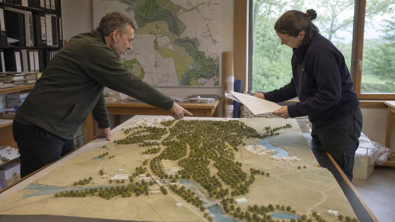
List what the site exercise does not cover. That list might include structural design, traffic modeling, acoustic assessment, and statutory approvals. Naming the gaps protects the program and tells bidders where their responsibilities begin. Teams can start the scene in GenAnywhere and keep the scope note beside it while the tender documents are assembled. That note gives the tender a boundary and gives the client something to compare bids against.
7 FAQ
FAQ-1 Is a map-based model enough to start an arena brief?
Yes, for early conversations about access, massing, and site constraints. It gives planners a shared picture before design fees are committed. It is not enough for approvals, structural design, or traffic assessment, because those need measured survey, field counts, and engineering judgment. Use it to frame the questions, then commission the specialist work that answers them.
FAQ-2 What data does the platform use?
GenAnywhere builds scenes from satellite and map data, including building outlines, estimated heights, land cover, and terrain. Vegetation and water are inferred rather than surveyed. Treat every layer as a planning aid and check anything that affects a decision against a current source. The export is a general GLB file, and supported outputs can change as the platform develops.
FAQ-3 Can several teams work from the same scene?
Yes. The point of the scene is to give planners, operators, and consultants one place to look. Each group can view the site in the context it needs and raise questions against the same geometry. Editing rights and file exchange depend on how the project is organized, so agree a naming and handoff routine before the early review meetings.
FAQ-4 Does this replace a site survey?
No. A map-based model is a starting context, not a survey product. Topographical levels, utilities, boundaries, and ground conditions still need field verification by qualified firms. The model helps you decide what to survey and how the findings might change the layout. It should not be used as a construction document or as the basis for an approval decision.
Content and technical notes
This article was prepared by the GenAnywhere team with AI-assisted drafting and human review.
Product features, formats, and availability change as the platform evolves; refer to the official GenAnywhere website for current details.
For technical questions or corrections, contact support@genanywhere.com.
Last reviewed: 2026-11-16.