
Oblique photography for existing conditions: where GenAnywhere fits
How a dated surface record and an editable base divide the work of documenting a site before design starts.
Existing conditions work has one job: establish what is there before anyone proposes what should be. Oblique photography does part of that job well, because it records surfaces on a known date. The rest of the job, which is arrangement and context, is often better served by a map-derived base. The split is worth agreeing before any flight.
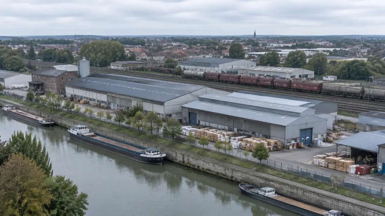
1 Define the record
1.1 What counts as existing conditions?
The buildings, the ground, the water, the vegetation and the boundaries, recorded at a stated date and to a stated level of detail.
It also includes the things that are easy to leave out: the retaining wall at the back of the yard, the service yard, the tree that overhangs the boundary, the fence that is not on the drawing.
A record is useful when it says what it covers and when. Everything else is a picture, and pictures get argued with.
1.2 What does a capture add?
It adds surface evidence. Materials, condition, openings, the state of a roof and the position of a fence are visible in a way that a drawing cannot reproduce.
It adds the awkward geometry that a map generalises. The lean-to, the steps, the narrow gap between buildings all survive in a mesh.
It adds a date. A capture taken before works start is a reference that can settle a later question about what was there. It also shows what has already gone, which is often the part nobody recorded. Professional bodies such as RICS publish guidance on measured surveys and the records they produce, which is useful background when a team is agreeing what counts as a record.
2 Plan the flight
2.1 What should the brief cover?
An area that includes a margin around the site. A capture that stops at the boundary leaves the neighbour blank, and the neighbour is often part of the question.
A level of detail expressed as what needs to be legible: a façade, a roof, a yard surface, a boundary.
A date and a set of conditions. A flight after rain, in low sun or during leaf cover will produce a different record from one taken in clear weather. A brief that names the decision is easier to price than one that asks for full coverage.
2.2 What conditions break a capture?
Water, glass, deep shadow and moving objects. Each produces holes, noise or reflections that a reviewer has to interpret.
Dense vegetation hides the ground. If the site is wooded, the capture will show canopy and guess at what lies beneath.
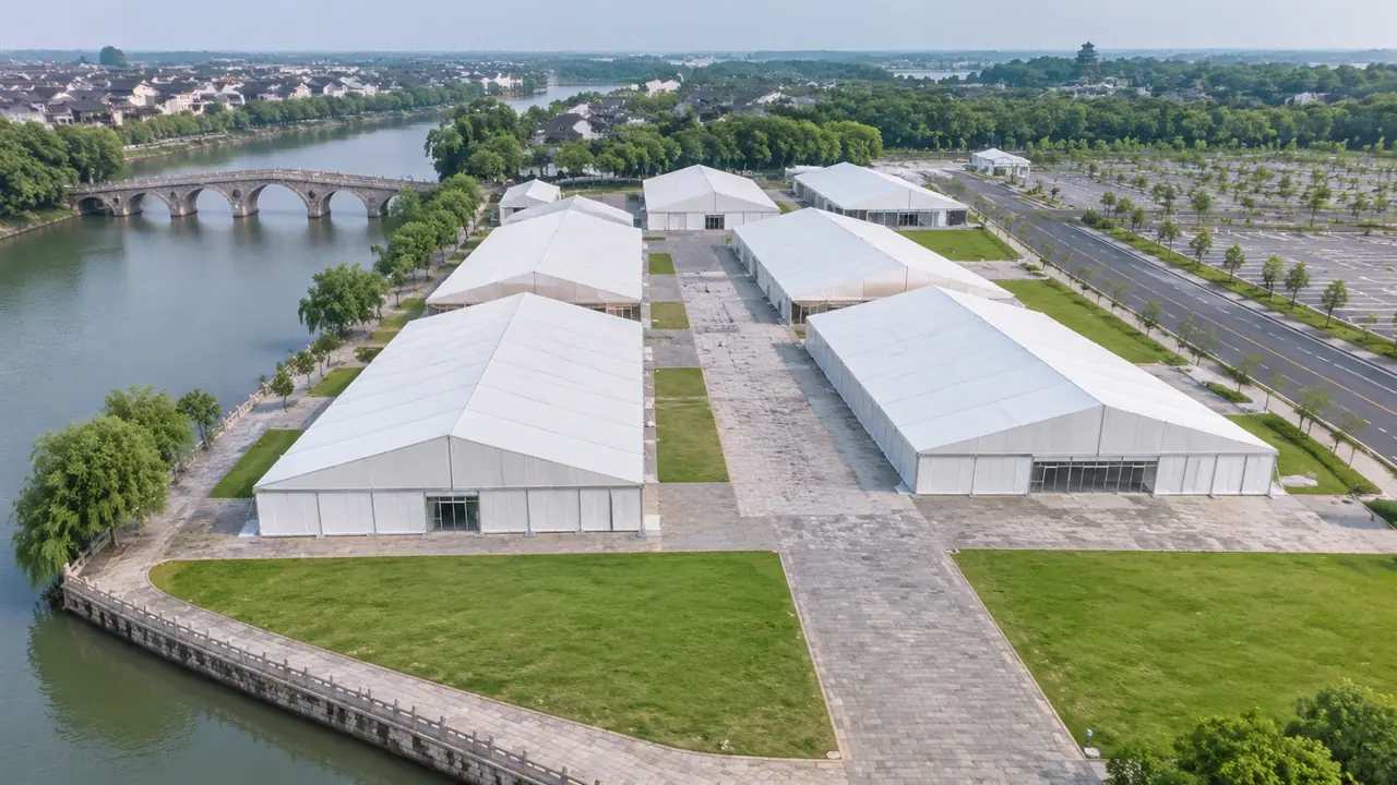
Wind moves foliage and can soften the mesh. A still day produces a cleaner record, and the brief should say so. Ask the operator to fly in the middle of the day where the site allows it, and to record the conditions in the delivery.
3 Use the record in design
3.1 How do designers read it?
Designers read it for constraint: what cannot move, what has to be worked around, what the site actually looks like from the street.
They read it for opportunity: the yard that could take an extension, the roof that could carry plant, the wall that could come down.
They read it for evidence: a client question about a crack, a boundary or a recent alteration is easier to answer with a dated surface record than with a memory. That is why designers keep the capture open beside the drawing rather than behind it.
3.2 What gets rebuilt?
Anything the design touches gets rebuilt in the design tool: new walls, regraded ground, new landscape.
Anything the design merely sees can remain as context. The opposite terrace, the riverbank and the wider street can stay approximate, because the design needs them to judge scale and view rather than to build against.
The capture is a reference, not the project file. Editing it in place destroys the evidence it was made to provide. A capture edited to suit a design stops being a record, and the next team cannot tell what changed.
4 Set the editable context
4.1 What does GenAnywhere supply?
GenAnywhere builds a site model from a drawn map area, using satellite and map data to identify footprints, estimate heights, infer types and read vegetation. Buildings, terrain, water and vegetation arrive as separate layers.
For existing conditions work, that gives the team an editable arrangement around the capture: the neighbouring blocks, the street pattern, the ground profile and the wider context.
The model exports as a general GLB for 3D, BIM, GIS and engine workflows, so the same context can travel into whichever tool the project uses. The result is a context that can be edited without touching the photographic record of the site itself.
Drawing an area takes a map selection rather than a flight. The model identifies footprints, estimates heights, infers building types and reads the surrounding vegetation, then separates buildings, terrain, water and vegetation so each can be edited. A designer can replace a building or move a block and keep the captured surface as the record it is. The layers can be hidden or shown in the same review, and the area can be redrawn when the project expands.
4.2 What does it not supply?
Surface condition. The base shows a plausible mass, not a façade, and it should not be used to argue about the state of a building.

Controlled positions. It is a working scene rather than a survey deliverable, and dimensions that govern construction should come from the survey.
Currency. Map data lags, and a base built before a demolition may still show the building. Say which of those limits applies before someone quotes the model in a report. The same base exports as a general GLB for the design tool, where the proposal is built.
5 Manage change
5.1 How often should the record be refreshed?
When the site changes in a way that affects the decision. A new roof, a demolition or a boundary change is a reason to refresh; a repainted shopfront usually is not.
When the project stage changes. A feasibility record may serve through concept and become insufficient at detailed design, where different features matter.
When a claim depends on it. If someone is about to assert that a condition existed on a date, check that the record still supports the assertion. A refresh is cheaper than a correction, and the note should make clear which record is current.
5.2 How do you retire an old record?
Keep it, dated, and stop presenting it as current. An old capture is evidence of its moment, and that is often valuable.
Mark it in the file name and in the scene. A record labelled with a date cannot easily be mistaken for today.
Remove it from the working pack once the decision it supported is closed. Old records in a live folder create confusion about which version the team is using. A dated folder and a line in the index are enough; the record does not need to be deleted to be retired.
6 Scope the programme
6.1 When is a capture overkill?
When the site is simple and well documented. A survey drawing may carry better dimensions than a new flight.
When the question is arrangement. A massing study on a clear site does not need texture. Where the site is already covered by a recent survey, a new flight often repeats work that has been done.
When the decision is reversible and cheap. A quick map-based look is enough for an early conversation about a site nobody has visited.
6.2 When is the base insufficient?
When condition is the argument. A façade, a boundary wall or a recent alteration needs the capture.
When the site is changing fast and the record has to be current. Where the site has changed since the map data was captured, the base may show a building that no longer stands.
When the detail is the point. A heritage setting or a construction sequence needs texture and confirmed geometry rather than a plausible volume. A base can be redrawn when the site changes, which is cheaper than repeating a flight for every revision.
6.3 When do you stop documenting?
Stop when the remaining unknowns cannot change the decision. More record does not make a settled question better.
Stop when the cost of another flight exceeds the value of the answer.
Stop when the next question belongs to another discipline. Pass the record on rather than stretching it. A good stopping point is when the record can answer the questions the next stage will ask.
Draw the area in the GenAnywhere app and keep the capture beside it as the dated surface record.
7 FAQ
FAQ-1 Can GenAnywhere create an existing conditions model?
It creates a site model from map data, which gives an editable arrangement of buildings, terrain, water and vegetation. Existing surface conditions come from a capture or a survey, and the two records are kept separate. The capture or survey supplies the surface, and the note should say which of the two was used for each claim.
FAQ-2 Does the model show the current state of a site?
It reflects the map and satellite data available when the area was drawn, so recent changes may be missing. A capture or a site visit is the way to confirm the current state before a decision depends on it. Where currency matters, a fresh flight or a visit is the reliable check, and the model should be redrawn from the same area.
FAQ-3 How do I keep the capture and the model aligned?
Agree a common origin and unit before combining them, then test two known dimensions. Keep the files separate and label which source governs which kind of question. Agree the unit as well as the origin, because a scene that assumes feet and arrives in metres will look wrong by a factor of three.
FAQ-4 What should the handover include?
The capture with its flight date, the base with its imagery date, the coverage drawing, the known failures and the name of the person who checked the alignment. A short note covering those five items is usually enough.
See how a map area becomes an editable site model in the GenAnywhere workflow.
Content and technical notes
This article was prepared by the GenAnywhere team with AI-assisted drafting and human review.
Product features, formats, and availability change as the platform evolves; refer to the official GenAnywhere website for current details.
For technical questions or corrections, contact support@genanywhere.com.
Last reviewed: 2026-11-06.