
Can a data center moratorium reshape how GenAnywhere reads a site?
A practical method for site teams working through a building pause, with three-dimensional context, stated limits, and fewer assumptions.
A data center moratorium does not change what a site looks like. It changes which questions matter, which parcels stay in play, and how much weight a team gives to power, water, access, and neighborhood context. A three-dimensional view can help teams read those sites, provided everyone agrees on what the model can settle and what it cannot.
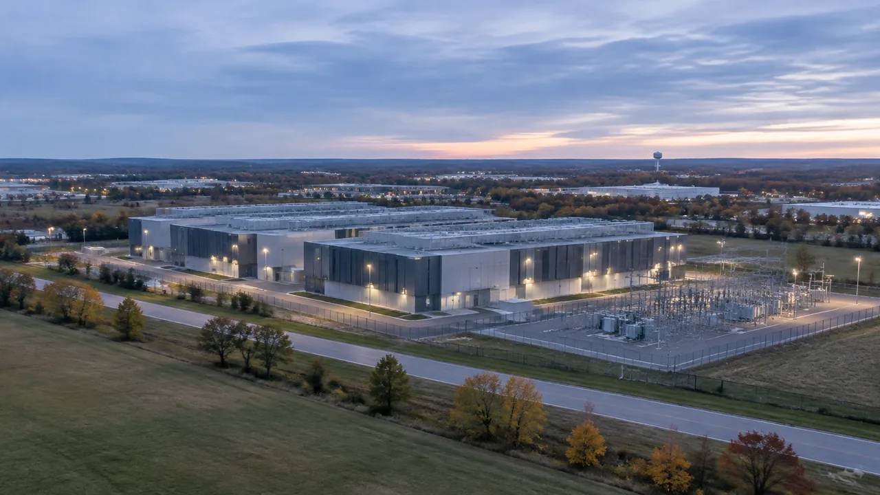
1 What a moratorium actually changes
A pause on new approvals moves the work upstream. Teams stop asking where a shell could go and start asking which existing sites, vacant parcels, or expansion edges remain worth a closer look. The site model still matters, but its job shifts from promotion to comparison.
1.1 Which site questions move to the front
When new capacity is paused, the practical question becomes fit rather than ambition. Does an existing industrial parcel have room for another hall? Is the ground flat enough to keep earthwork plausible? Do neighboring buildings and vegetation change how the site reads from the road or the property line? A three-dimensional view can frame those questions before a team spends money on drawings, and it keeps the discussion on physical context instead of wishful layouts.
1.2 Which questions stay outside the model
A site model is geometry and context, not a regulatory opinion. It cannot confirm that a pause applies to a parcel, that a utility has capacity, or that a community board will support a project. Those answers come from the authority having jurisdiction, the utility, and the public record. Teams that treat the model as a conversation starter rather than a finding tend to get more from it, and they avoid the trap of defending a rendering as if it were a decision.
2 Reading a paused market without guessing
A pause is a good moment to separate what a site is from what a team hopes it becomes. The useful work is to inventory the physical setting of a handful of candidate parcels, then compare them on the same terms. That comparison is easier when every option is viewed from a similar height and angle.
2.1 Start from what is already built
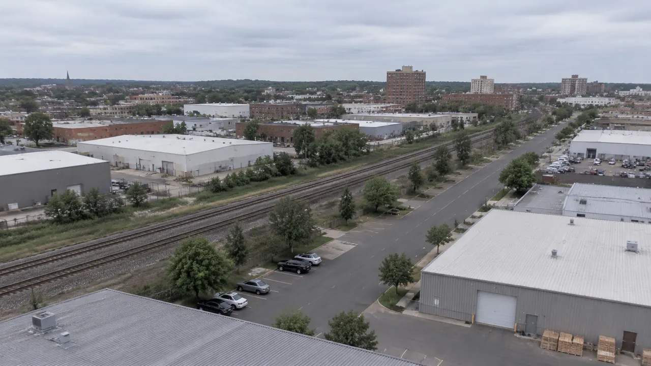
Existing industrial parks, logistics yards, and utility campuses usually carry the infrastructure that a new greenfield site lacks. Reading those places in 3D shows how buildings sit against access roads, where service areas run, and how much open ground remains. A team can then ask whether an addition fits inside the existing pattern or whether it would crowd the site. The answer changes the conversation about cost long before a design exists.
2.2 Compare expansion against replacement
Replacement is often overlooked during a pause, yet it can reframe a stalled project. If one outdated building sits on a generous parcel, swapping that volume for a larger one may be easier to discuss than opening a new site. GenAnywhere supports that kind of test. A team maps an area, generates an editable 3D site model from satellite and map data, and works with building footprints, estimated heights, inferred building types, terrain, water, and vegetation. Single buildings can be replaced, moved, rotated, or adjusted in height and type, and the scene can be previewed before export. For a paused market, that makes expansion and replacement comparable on the same ground.
3 Building a comparison teams can defend
Comparisons fall apart when each option is shown from a flattering angle. A defensible review uses a consistent view, a consistent date, and a short note about what the imagery does not show. The goal is not a polished image. It is a record that another person can follow.
3.1 Keep the same view for every option
Set a camera height and a viewing direction, then reuse them for each parcel. That simple discipline makes differences in terrain and building mass visible instead of dramatic. When one site looks better because it was framed from above and another looks cramped because it was framed from the street, the comparison is no longer about the sites. Consistent views also make it easier to spot a parcel that lacks road access or sits behind a ridge.
3.2 Record the assumptions next to the image
Every scene rests on assumptions about building use, height, and vegetation. Write them down in plain language beside the view. Note the date of the imagery, the area mapped, and any element that was adjusted to test a scenario. A reader who knows a hall was raised by ten meters to test a massing option will not mistake the image for a proposal. Short notes also help a team revisit a decision months later without guessing what changed.
4 Where the 3D site context earns its place
Three-dimensional context is most useful early, when a team is still deciding which sites deserve a full study. It is less useful as a stand-in for engineering, permitting, or utility work. Keeping that line clear protects the review and the people who rely on it.
4.1 Screening parcels before a full study
Screening is about removing obvious mismatches. A parcel that is mostly slope, cut off from a road, or crowded by neighboring structures can be set aside with a view and a note. A parcel that reads cleanly can move to the next stage with its questions listed. The filter saves attention for sites that can survive a closer look.
4.2 Handing a scene to the design team
When a site does move forward, the scene can travel with it. GenAnywhere keeps buildings, terrain, and vegetation in separate layers that can be previewed, edited, and managed, then exports a general GLB for 3D, BIM, GIS, and game engine workflows. Teams use it alongside tools such as Unreal Engine, Unity, Blender, Revit, Rhino, SketchUp, ArcGIS Pro, GISBox, and Wings Engine, depending on the handoff. The exported model carries a permanent commercial license, with the usual limits: the raw files cannot be resold or used to train AI models, third-party data rights need separate checks, and the receiving team confirms its own fit for purpose.
5 How to document a review others can follow
Documentation is what turns a viewing session into a record. It does not need to be long. A page of views, a list of sources, and a paragraph on limits will usually do more than a polished deck.
5.1 Separate observed context from inference
Some parts of a scene come from mapped imagery: roads, building footprints, water, and the general shape of the ground. Others are inferred, such as building height or use. Label the difference. A reader who knows that a height was estimated will treat it as a starting point rather than a fact, and the review keeps its credibility when the estimate is later refined.
5.2 Share a view, not a verdict
A review that ends with "site B is better" invites argument. A review that ends with "site B has fewer physical conflicts, given these assumptions" invites the right kind of scrutiny. The second version also leaves room for a planner, a utility engineer, or a community liaison to add what the model cannot see. That is how a site conversation stays useful after the meeting ends.
6 Bringing the site review together
A moratorium period rewards teams that work in sequence. The steps below keep a review short and make the handoff to the next stage easier to explain.
6.1 Agree on the question before the model
Write one sentence that states what the review must answer, such as whether three parcels can hold an additional hall without displacing existing operations. Everything else follows from that sentence: the area to map, the elements to keep, and the views to capture. The platform overview is a reasonable place to check which of those elements are supported before work starts. A team that builds a scene and looks for a question afterwards usually produces images nobody uses.
6.2 Check the site against three records
Use the model for physical context, then check the parcel against the zoning record, the utility's published information, and the local plan. None of those records lives inside a 3D scene, and each can change the answer. For data center work, national energy guidance from the U.S. Department of Energy is a useful reminder that power and cooling choices shape a project as much as the ground does.
6.3 Leave a short record of limits
End the review with a short list of what was not tested. Utility capacity, title, environmental review, and community support belong on that list when they were outside the work. A limits list is not an admission of weakness. It tells the next team where to start and keeps a screening exercise from being mistaken for a decision.
Open the GenAnywhere workspace to map a candidate parcel and preview it before export.
See how the site workflow fits together and where your team joins it.
7 FAQ
FAQ-1 Does a building pause make site modeling pointless?
No. A pause changes the purpose of the work rather than removing it. Teams still need to compare parcels, test expansion against replacement, and brief colleagues on physical constraints. A 3D site view helps those conversations stay concrete. What it cannot do is decide whether a project may proceed, since that answer belongs to the local approval process and the utility serving the site.
FAQ-2 Can GenAnywhere show available power capacity?
No. The platform builds a site scene from satellite and map data and does not read utility capacity, interconnection queues, or load figures. Those details come from the utility and from published planning documents. Teams often keep capacity notes beside the scene so the physical view and the service picture are reviewed together, but the capacity figure itself is never part of the model.
FAQ-3 What does a team receive when a scene is exported?
The export is a general GLB file that can move into 3D, BIM, GIS, or game engine workflows. Buildings, terrain, and vegetation stay organized in layers during editing and preview. The file carries a permanent commercial license, with limits on resale of raw files and on AI training use. Receiving teams still check scale, orientation, and data rights for their own workflow.
FAQ-4 Is the exported model a substitute for a field survey?
No. The scene is built from mapped imagery and is meant as initial site context. It does not replace a field survey, a boundary survey, or current condition records, and it should not be used as a construction or approval document. Where a project needs verified dimensions or utilities, a licensed professional should gather that information before the design advances.
Content and technical notes
This article was prepared by the GenAnywhere team with AI-assisted drafting and human review.
Product features, formats, and availability change as the platform evolves; refer to the official GenAnywhere website for current details.
For technical questions or corrections, contact support@genanywhere.com.
Last reviewed: 2026-11-09.