
Solar farm scale: what GenAnywhere covers in one view
A photovoltaic site fits a single scene comfortably, and the useful limit is set by the field pattern rather than by the acreage.
A solar farm is one of the easier sites to hold in one view, because the whole installation usually sits inside a few fields with a clear boundary. GenAnywhere generates that setting from map and satellite data: the ground, the ditches, the hedgerows and the sheds at the entrance. The panels themselves are design assets, so the view shows the land the array will occupy rather than the array.
1 What one view holds
1.1 The site and its boundary features
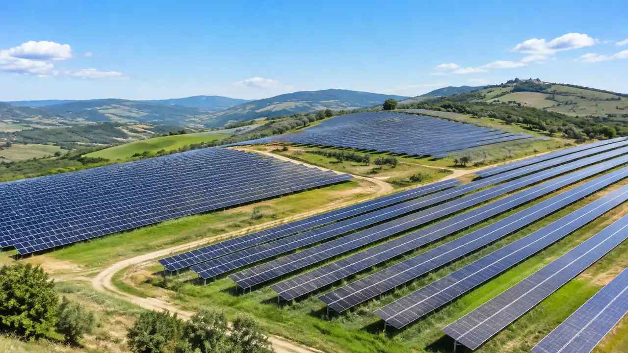
A single scene comfortably covers a site of several fields together with the lane that serves it and the farm buildings at the gate. The boundary is what makes the view useful: a hedgerow, a ditch, a fence line or a road edge gives the eye somewhere to stop and gives the review a natural edge. Choose the extent so the boundary features sit inside the frame rather than being cut by it, and check the corners of the view before you settle on it. An array whose edge sits just outside the picture invites questions about what was left out.
1.2 The surrounding land use
Consent arguments about solar sites are usually about neighbours, views and land use, and those need context beyond the fence. Include the village edge, the next field, the woodland block or the motorway, depending on what the argument is. A scene that shows the array in open countryside answers a different question from one that shows it behind a housing estate. Generating two extents takes a moment and is usually better than arguing about which context matters, because the argument is often settled by looking rather than by reasoning.
2 Ground that changes a layout
2.1 Slope and drainage
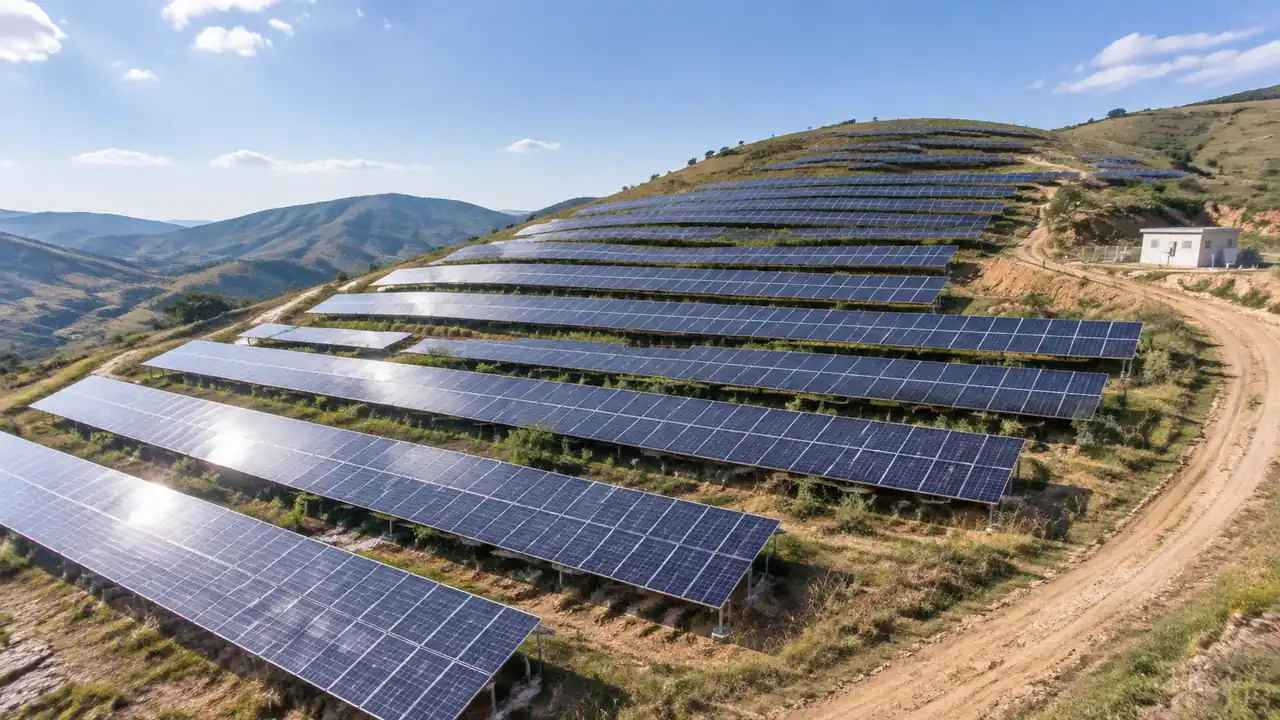
The terrain follows the mapped ground, so a field that falls gently towards a canal or a ditch shows that fall without anyone modelling it. That is enough to explain why rows would run one way rather than another, and why a wet corner might stay out of the array. It is not a survey, and the fall you see should be checked against measured levels before anyone designs a mounting system or sets a pile depth. The scene is for finding the question, not for answering the engineering, and a review that keeps those roles apart finishes sooner.
2.2 Hedgerows, trees and field divisions
Vegetation is generated as part of the scene and can be managed as its own layer. On a solar site that layer carries most of the visual information: hedges dividing the fields, a line of trees along the lane, scrub in a corner that nobody wants to clear. Turning vegetation off shows the bare ground and the shape of the site; turning it on shows what a passer-by would actually see. Both views belong in the same review, one after the other.
3 Panels as design assets
3.1 Rows, mounting and inverter stations
Panel rows, mounting structures, inverter cabinets and the substation compound are design assets. The platform does not generate them, and it does not need to: they come from the layout designer as geometry that can be placed on the ground the scene provides. Inverter stations and site buildings may appear as volumes if they already exist, which is useful when a review needs to show a new compound beside an old barn. Everything electrical arrives from the design side.
3.2 Debating a layout on an empty field
An empty field is a good place to argue about a layout, because nothing on the ground competes with the proposal. Reviewers can see how much of the field the array would take, where the access would run and how much setback the boundary allows, without a rendering of panels prejudging the answer. Some teams find the bare ground harder to read than a filled one, and that is worth knowing. A simple block layout beside the scene often serves better than a detailed array, especially when the audience includes people who read plans more comfortably than images.
4 Limits
4.1 No yield, shading or glare work
The scene does not estimate energy yield, model row-to-row shading, assess glare towards a road or check a mounting design against ground conditions. Those studies need solar geometry, equipment data and engineering judgement, and none of them can be read from imagery. A picture of a field with a layout on it is a context image. Saying that clearly matters when the audience includes lenders or planners who read a realistic view as evidence. Bodies such as IEEE publish technical material for the studies themselves.
4.2 Imagery date and land use change
Fields change: a hedge is removed, a drainage ditch is re-cut, a corner is planted. The imagery behind the scene carries a date, and the visible field pattern is the pattern of that date. Check it before the review and mention it where the scene is shown, particularly if the land was in a different use when captured. A site that was pasture in the imagery and is a construction site today will read as pasture, which is a small error with a large effect on trust.
5 Reviewing at two scales
5.1 Wide for the boundary, close for the field
Start with the site in its landscape, then move to the field under discussion, then to the gate or the compound. The wide view answers the neighbour question and the close view answers the layout question, and mixing them produces a conversation that never settles. Because a solar site is small in plan, the wide view can be quite generous without losing the array. Open with the wide shot while the audience still needs orientation, and keep it available afterwards.
5.2 Layer views for a landscape argument
Buildings, terrain and vegetation can be shown or hidden independently. Hiding vegetation reveals the ground and the field boundaries; hiding buildings strips out the farm sheds that may not matter to the argument. A landscape discussion usually wants vegetation on and buildings on, because both are what the neighbour sees. An engineering discussion about the ground wants vegetation off, and the difference between the two is often the whole of a disagreement. Decide which conversation you are in before choosing the state, and caption the image accordingly.
Open the GenAnywhere app and frame a solar site
6 Handover
6.1 Note the extent and the orientation
Record which fields the scene covers, which direction the camera faced and which layer state was used. For a solar site the orientation matters more than usual, because a view from the lane and a view from the ridge tell different stories about the same array. A short note with those three facts lets the next team reproduce the image without asking, which saves a meeting. The platform overview covers what the scene contains.
6.2 What the export carries
The GLB holds the site: terrain, water, vegetation, the buildings that were in the data and any edits made before export. It does not hold panel rows, cabling or the substation. Receiving teams add their layout and keep the ground as the reference surface, which is usually why they asked for the file. Check the file in the tool that will open it, and note the imagery date, since a field pattern that has changed will be faithfully wrong in the export.
6.3 Where the file goes next
Solar layouts usually move between a GIS environment, a CAD tool and a visualisation package, and the GLB is a common starting point for all three. Say which one opens the file next and what it is for: a landscape image, a layout comparison or a base for design geometry. That sentence decides how much detail the receiving team will add and whether they need the vegetation at all. A GIS team and a visualisation team will answer that differently, so the note should not be vague.
7 FAQ
FAQ-1 How much of a solar site fits in one view?
A site of several fields, its access lane and the farm buildings at the gate all fit comfortably, with enough surrounding land to explain the setting. Push wider and the field boundaries and hedgerows become hard to read, which matters because those features carry most of the argument. For a large estate, two or three scenes along the site are more useful than one very wide view.
FAQ-2 Do the panel rows appear in the model?
No. Panel rows, mounting structures and inverter stations are design assets rather than generated content. They come from the layout designer and are placed on the ground the scene provides, either in the same environment or downstream after export. If a review needs to discuss row spacing in detail, that discussion belongs with the layout drawings, not with the site model.
FAQ-3 Can the scene show the slope for mounting design?
It shows the shape of the ground as the data describes it, which is enough to explain why a field falls one way and where a wet corner sits. It is not a survey and should not be used to design a mounting system or set pile lengths. Take levels from a measured source and use the scene for the conversation about where the array should go.
FAQ-4 Is the scene useful for a planning argument?
It helps a planning argument by showing the site in its setting: the neighbours, the field pattern, the access and the skyline. It does not produce a visual impact assessment, a photomontage to a required standard or any consent evidence. Use it to brief the team and to test which view is worth studying properly, then commission the assessment that the application needs.
See how a solar site becomes a shared reference file
Content and technical notes
This article was prepared by the GenAnywhere team with AI-assisted drafting and human review.
Product features, formats, and availability change as the platform evolves; refer to the official GenAnywhere website for current details.
For technical questions or corrections, contact support@genanywhere.com.
Last reviewed: 2026-11-13.