
Can harbor digital twins start with GenAnywhere site context?
Building the ground layer for a port twin before sensors and systems arrive
A harbor digital twin usually begins with an ambitious scope: live vessel data, crane telemetry, yard status, and a control room that sees everything. All of that needs a place to sit. GenAnywhere can supply an early site context from map data, which gives the twin team a shared ground layer while the system architecture is still being argued.
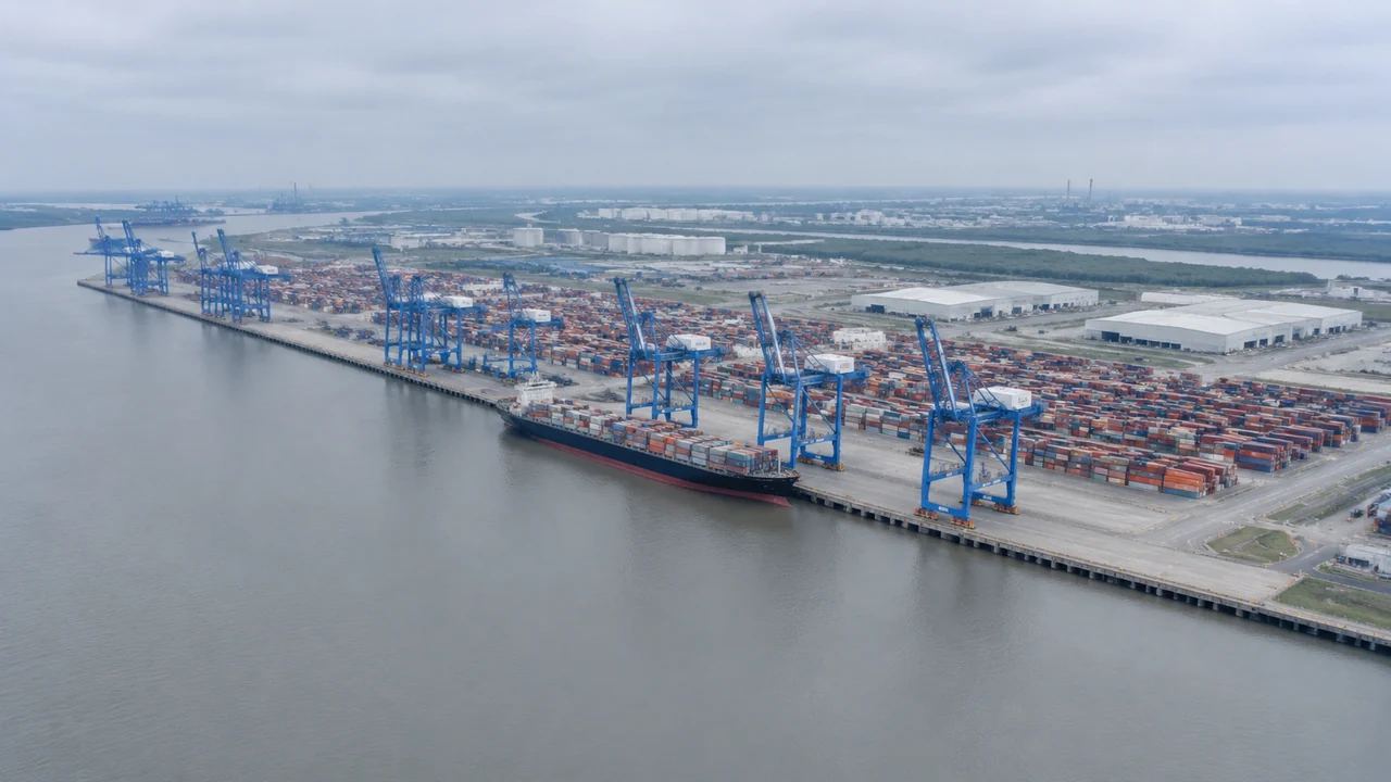
1 What a harbor twin needs at the start
1.1 Start with a site context layer
A digital twin is a model that stays connected to a real asset, and a port has a lot of asset to cover. Before live data can be meaningful, the team needs to agree on where the quay ends, where the yard begins, and how the roads connect. A shared site context settles those questions. Without it, every system arrives with its own idea of the port.
A port boundary is not a neat rectangle. It includes water, gates, rail spurs, and land the operator may lease rather than own. Drawing that boundary together is a useful exercise in itself. Keep the boundary visible in every view.
1.2 Why geometry comes before systems
Data without geometry is a table of numbers. Geometry without data is a model of a place. A twin needs both, and the model comes ahead of the systems because it defines the frame that everything else plugs into. Starting with site context also lets the team test whether the scope is realistic. A port is larger than most people expect once the yard and access roads are included. A rough geometric frame also gives the team a way to estimate the scale of the data work, because the number of assets becomes visible once the area is mapped.
2 What belongs in the initial scene
2.1 Map quay, yard, sheds, and access
The initial scene should show the quay line, the container yard, the sheds, and the main access roads. Those elements set the distances that operations care about. Add the gate area and the rail connection if the port has one. The goal is not a complete asset register.
It is a readable picture of the ground that the twin will describe. Leave the detail of the yard equipment out at this stage, since a readable ground plan is more useful than a crowded model that nobody can navigate. Mark the gate and the rail connection even if the scene is rough, because they anchor the operation and give the team a way to compare travel distances.
2.2 Include water and terrain
Water is part of the site, not a backdrop. The channel, the basin, and the berth pockets shape what vessels can do and where equipment can work. Terrain matters on the land side, especially where the yard meets a road or a rail corridor. A scene that shows both helps the team discuss dredging, drainage, and access in the same conversation.
Ask the harbor master which water areas matter operationally. That answer narrows the scene and keeps the focus on the berths that carry traffic. If the scene includes a channel, note where the depth data is missing.
3 Building the context from a map
3.1 What GenAnywhere can generate
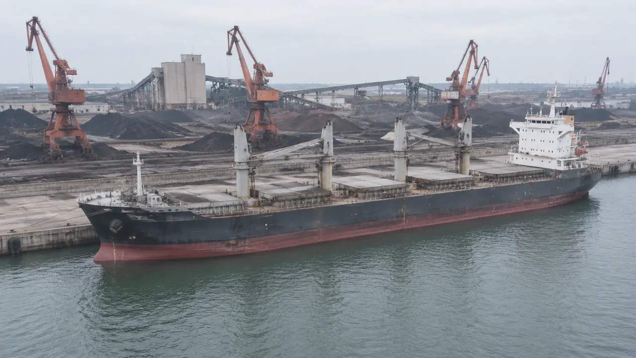
GenAnywhere generates an editable 3D site model from satellite and map data for an area the user selects. It identifies building footprints, estimates height, infers type, and reads surrounding vegetation. Buildings, terrain, water, and planting arrive as separate layers, and the scene can be edited before export as GLB. For a harbor, the scene can hold sheds, office buildings, roads, and the water edge while the team adds or removes simple volumes for planned changes.
3.2 What a twin still needs later
The generated scene is context, not an asset model. A working twin still needs a survey of the quay, crane positions, utility networks, and a data model that connects each asset to its records. It also needs governance for who updates what. The site context reduces the cost of starting, and it does not remove the need for those later layers. Say plainly that the scene is a starting point, because teams that understand the boundary use the context better and ask for the right additions.
4 Testing operational questions early
4.1 Test berth and yard relationships
A simple scene can test whether a proposed berth length leaves enough yard behind it. It can show how a new shed would cut a travel path or where a reefer block might sit. Those tests are approximate, and they are useful before a simulation is commissioned. The point is to rule out arrangements that cannot work, not to predict throughput. Keep the tests simple, since a few sections and a plan view often answer the layout question before a simulation is needed. Show the same berth from the water side and from the yard, since the two views often tell different stories.
4.2 Check road and rail access
Trucks and trains share the land side with staff and services. A scene can show how a gate queue would meet the public road or where a rail spur crosses a yard route. Those conflicts are easier to see in three dimensions than in a list of coordinates. Fix the obvious ones before the twin team spends time modeling the movement. Check the gate at peak arrival, because a queue that fits on a quiet day can block the public road on a busy one.
5 Keeping the context usable downstream
5.1 Keep layers and export formats clean
Keep buildings, terrain, water, and vegetation as separate layers so each can be replaced or refined. Export GLB when a downstream tool needs the geometry, and keep the layered source for edits. The Open Geospatial Consortium publishes standards that help when the twin must exchange data with other systems. A clean export is easier to ingest than a merged scene. A consistent coordinate reference matters when the scene is combined with other data, so ask the twin team which one it uses before the export. Keep a readme with the export that names the layers and the units.
5.2 Name and version the scene
Give the scene a name that includes the port, the area, and the date. Keep earlier versions when the site changes, and note what changed in each. A twin project can run for years, and the context will be updated many times. A simple naming rule prevents the team from opening the wrong file in a review. Write the rule down in the project notes, so new team members do not have to guess which file is current.
6 When site context is not enough
6.1 Watch for signals to invest in survey
Invest in a proper survey when the questions move from layout to asset condition. Invest in systems when the twin needs live status rather than a static picture. Those are different projects with different budgets. Recognizing the shift early keeps the context work from being stretched beyond what it can support. The transition from layout to condition is a budget decision, and it deserves a clear trigger rather than a gradual drift.
6.2 Document the assumptions and gaps
Record the source imagery, the date, the areas that were edited, and the assumptions behind each volume. Note which parts of the scene are approximate and which came from a survey. A downstream team needs that distinction more than it needs a polished model. The record also makes it easier to replace a layer when better data arrives. Keep the log short enough to update, because a long template tends to be filled in once and abandoned.
6.3 Hand the package to the twin team
Hand over the layered scene, the GLB export, the assumption log, and a short list of known gaps. Include the camera positions used in early reviews so the team can reproduce the views. A compact package lets the twin team start with the geometry and spend its budget on the systems that make the twin useful. Name the person who will receive the package, and confirm that the files open before the handoff meeting. A short walkthrough of the scene is often more useful than a long document.
Generate a site model from a map
7 FAQ
FAQ-1 Can a digital twin start from a generated site model?
It can start from a generated site context, which gives the team a shared ground layer for early decisions. A working twin still needs survey data, asset records, and live systems. The generated scene is the beginning of the geometry, not the whole twin. Treat it as the frame that later data plugs into.
FAQ-2 Does GenAnywhere connect to port operating systems?
No. The platform generates a site scene and exports GLB for use in other tools. It does not connect to terminal operating systems, crane controls, or sensor networks. Those integrations belong to the twin architecture and the vendors involved. Keep the context layer separate from the live systems. That separation makes each easier to update and to test.
FAQ-3 What port features can the scene show?
A generated scene can show buildings, sheds, roads, terrain, water, and vegetation at a general level. A user can add or edit simple volumes to represent planned changes. It does not model cranes, containers, or vessel movements in detail. Use it for site layout and early comparison, then add asset detail in the twin environment.
FAQ-4 Is the exported model suitable for engineering work?
No. Engineering work needs survey data, design models, and calculations prepared to project standards. A GLB scene is a visualization and context aid. It can support conversations and early layout tests, and it should not be treated as an engineering deliverable. Ask the project engineers what they need for each stage.
See how the site workflow fits together
Content and technical notes
This article was prepared by the GenAnywhere team with AI-assisted drafting and human review.
Product features, formats, and availability change as the platform evolves; refer to the official GenAnywhere website for current details.
For technical questions or corrections, contact support@genanywhere.com.
Last reviewed: 2026-11-14.