
Water scenes: which project reviews fit GenAnywhere
If the question starts with where or how it looks, a generated water scene fits. If it starts with how much or how fast, it does not.
Most questions about a riverfront, a reservoir edge or a plant basin fall into two groups. One asks where something should go and how it will look from a place people know. The other asks how the water behaves. GenAnywhere serves the group: it generates terrain, water, buildings and vegetation as editable geometry, and it runs no analysis of level, flow or quality.
1 The test in one question
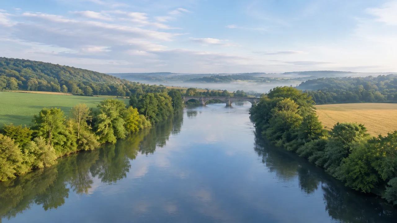
1.1 Where and how it looks
If a review has to settle a position, an appearance or a relationship between things, a site scene can carry it. Those questions need the ground, the bank, the buildings and a camera in the right place, and they need the answer to be visible to people who do not read drawings. A water scene gives a group one view of the same bend, the same wall and the same row of sheds. That is a modest contribution and a reliable one. The scene does not need to be clever. It needs to be the same scene for everybody in the room.
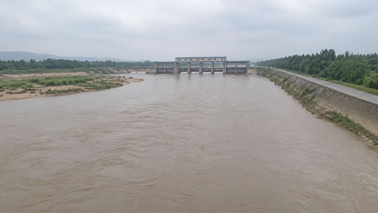
1.2 How much and how fast
If a review has to settle a volume, a rate, a level over time or a concentration, the scene cannot help. It holds a surface at one mapped position and nothing about behaviour. Depths, discharges, drawdown and loading rates come from survey, hydrology and specialist software, with a qualified analyst behind them. Recognising which group a question belongs to takes a sentence, and it decides whether the meeting needs a model or a study. Getting that wrong wastes an afternoon, in either direction.
2 Reviews that fit
2.1 Sitting a scheme on a bank
A depot, a pumping station or a new quay apron all begin with the same argument: is this the right place. The scene shows the bank, the water width, the buildings behind and the access that already exists, so a group can argue about position before a section is drawn. Heights are estimated and the ground is coarse, which is fine for a siting question. Two candidate positions in one image are easier to discuss than two plans described aloud. When the argument moves to levels, the scene has done its job. Move to the survey rather than stretching the picture to answer a question it was never built for.
2.2 Comparing two options from one viewpoint
Two schemes drawn on plans look similar. Two schemes seen from the footpath opposite, at the same camera height, do not. Fix the position, the lens and the layer state, then capture each option. This is the cheapest comparison a project can make, and it usually settles which option deserves the survey work. Keep the images in one set with their settings written down, so a later meeting can return to the same view without rebuilding it. A comparison that cannot be repeated is a comparison nobody can check.
3 Reviews that fit partly
3.1 Briefing a specialist study
A hydraulic, water quality or navigation study needs a study area, and someone has to define it. A generated scene helps a team agree the extent, name the cross sections that matter and point at the places where the bank changes character. Those decisions then travel into the study as a map and a short list. The scene is a briefing tool here, not an input to the analysis, and the two roles should be kept apart. Say which one the file is serving when it is sent.
3.2 Choosing viewpoints before survey
A landscape or visual impact assessment usually needs a set of viewpoints agreed before anyone visits the site. A scene lets a team walk around the water, look from the opposite bank and discard positions that show nothing. The chosen points then go to the survey as coordinates with a note about why each one matters. That step is quicker in the scene than on a map, and it gives the field team a reason for each visit. Ten minutes of walking the bank can replace a week of guessing which corner matters.
4 Reviews that do not fit
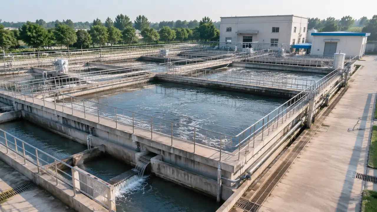
4.1 Flood, drainage, quality and sediment
None of these can be answered from geometry alone. Flood extents need hydraulics, drainage needs a network model, quality and sediment need sampling and transport work. Bodies such as USGS Water Resources publish methods material that shows how much data those studies consume. A scene may be used as a backdrop for a result, and the result belongs to the study. Put that sentence in the deck before a picture of water suggests otherwise. Once an audience believes the study exists, correcting them costs more than the slide would have.
4.2 Navigation, dredging and outfall design
Channel depth, under-keel allowance, dredge volumes, mooring loads and outfall diffuser design all sit outside the scene. So does anything to do with how a vessel behaves alongside. The generated water shows a width and an outline, and a berth requires a design with survey behind it. Reviews that mix the two produce confident statements about a channel nobody has sounded, which is the kind of error that costs a season. Keep a vessel, a dredger and a diffuser in the design package, where the survey sits beside them.
5 Setting up a review that fits
5.1 Choose the extent from the question
Frame the length of bank the decision covers, not the length that looks impressive. A whole estuary turns the argument into a map exercise, while four hundred metres of frontage keeps the wall, the access and the neighbouring building in one view. If the setting matters, capture a second wide view rather than stretching the detailed one. Two frames at different extents answer more than one frame chosen to cover everything. Write the extent on the agenda, so nobody spends the opening minutes asking where the scheme is.
5.2 Agree the layer states
Buildings, terrain and vegetation can each be shown or hidden, and water travels with the terrain. Decide before the session which states the review will use, and caption every image with the state it shows. A water scene with vegetation hidden reads as a hard edge, which is useful for a wall discussion and misleading for a screening one. Two states, named in advance, beat a camera operator improvising under pressure.
Open the GenAnywhere app and frame a stretch of water
6 After the review
6.1 A note about the water
Write down which water body the scene contains, how wide it appears, and the imagery date if you can establish it. Add one line saying that no level, flow or quality assumption is included. That note is what stops a still image from being read as a hydraulic result six months later. It takes two minutes and it protects both the scene and the people who rely on the real study. Keep the note with the file rather than in the meeting record.
6.2 Export and receivers
Preview the scene and export a GLB when the discussion needs to travel, and check how the water arrives in the receiving application before you send it. Some tools keep the surface as a separate object, others merge it with the ground, and a team planning to toggle it needs to know which. Name the file for the site, the extent and the date. The platform overview covers what the export contains, and it is worth reading before promising a file to a team outside the project.
6.3 When to stop and commission survey
There is a point where more views add nothing. It arrives when every question left in the room depends on a measurement: a level, a depth, a boundary, a rate. At that point, order the survey or the study and keep the scene as a briefing aid. Continuing to orbit a generated bank produces pictures of a decision that has already been made. Say so in the meeting, and put the survey request in the minutes.
7 FAQ
FAQ-1 Can GenAnywhere show a river or a reservoir?
Yes, where the source map and satellite data record open water. Rivers, canals, reservoirs, lakes and coastal edges arrive as part of the generated surface, with banks that follow the terrain. Narrow ditches, seasonal pools and recently dredged areas may be absent, so check the specific body before building an argument on it. If the missing water matters, say so at the start rather than during the presentation.
FAQ-2 Is it suitable for a flood study?
No. The scene holds geometry and says nothing about flow, depth over time or drainage. Flood work needs hydraulic modelling, current survey and a qualified analyst, and the results should be presented from that work. A generated scene can sit beside the study as context, showing where the bank and the buildings are. It cannot be the study, and it should not be captioned as though it were.
FAQ-3 Which reviews fit well?
Siting, orientation and appearance: where a building or an access should sit on a bank, how an option reads from the far shore, which viewpoints a study should cover. Those reviews turn on relationships that a group can see at once in a shared view. They also improve when a non-specialist audience can follow the argument, which is what a scene does well. Anything numerical belongs elsewhere.
FAQ-4 What does the export contain?
The site as geometry: terrain, the water surface as part of that terrain, buildings, vegetation and any edits made before export. It does not contain a hydraulic model, a survey deliverable or design geometry for a quay, an outfall or a berth. Check the file in the receiving tool, note whether the water arrived separately, and send the note with the file. Receivers who know the limits use it better.
See how a water scene moves into a project workflow
Content and technical notes
This article was prepared by the GenAnywhere team with AI-assisted drafting and human review.
Product features, formats, and availability change as the platform evolves; refer to the official GenAnywhere website for current details.
For technical questions or corrections, contact support@genanywhere.com.
Last reviewed: 2026-11-13.