
Overpass scale: what GenAnywhere covers in one view
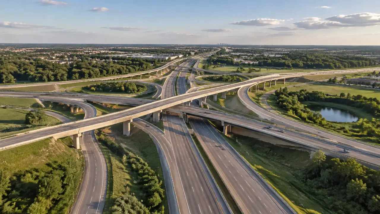
The generated scene carries the ground a crossing sits on; deck, piers and span come from design, and extent decides what fits.
GenAnywhere covers the ground an overpass crosses: terrain, buildings, vegetation and water inside the framed extent, all editable after generation. The deck, piers and girders are design geometry and are not part of that content. Scale is the variable a team controls, and it decides how much of the setting survives in one view.
1 What a single view contains
1.1 Extent comes before detail
The choice of extent shapes everything that follows. A frame of two or three kilometres shows how a viaduct sits between two towns; a frame of three hundred metres shows the ground under one span and the buildings beside it. Both frames are honest, and neither is complete on its own. Take the extent from the question in the room: route context asks for the wide frame, while an access or land argument asks for the close one. Record the extent beside the screenshot so a later reader knows which scale they are looking at. Two screenshots at different extents often settle a disagreement that one carefully chosen frame would prolong.
1.2 Heights and types around the crossing
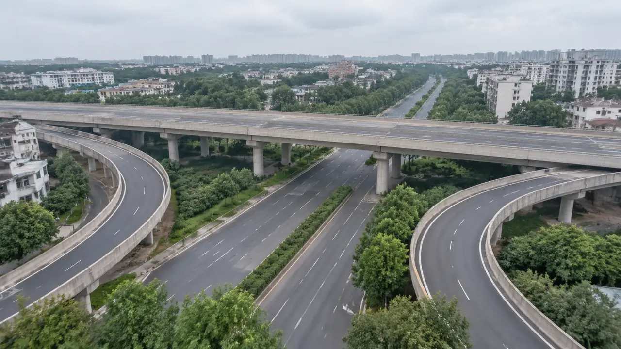
Buildings are placed from mapped footprints, with heights estimated and types inferred from the imagery behind the scene. That suits a row of warehouses beside an approach ramp and struggles with a single small structure in open ground. Expect to correct a few: a workshop read as a warehouse, a gatehouse read as an office. Each correction takes a minute and makes the view more useful than the raw generation. The terrain below the span is generated too, so a slope, a cutting or a watercourse reads in the scene even when the bridge does not. The correction is cheap, and the alternative is a review that quietly trusts a guess.
2 Reading scale against the deck
2.1 Where detail thins out
At wide extents, individual buildings reduce to blocks and small structures stop appearing at all. That is how a site model behaves when the frame grows, not a fault waiting to be fixed. Keep two frames instead: one for context, one for the area under discussion. Switching between them mid-review is faster than arguing about which single frame should have been chosen. If a small building carries the argument, frame it closely, because at two kilometres it will not survive. Wide frames are for orientation, and orientation is a legitimate job in its own right.
2.2 Judging the crossing in its setting
An overpass is read against what it crosses. The scene shows the ground profile and the buildings on both sides, so a group can see whether an approach ramp cuts through a yard or lands beside it. Views from the road below and from the buildings beside it answer different questions, and both are cheap to produce. Neither view is a clearance check, and nobody should treat it as one. What the scene supplies is the setting where those questions get asked, which is usually enough to settle the opening argument. A model that is honest about scale is easier to defend than one that pretends to cover everything at once.
3 Edits that help the review
3.1 Buildings beside and under the deck
Buildings can be replaced, moved, rotated and adjusted in height or type. Under a viaduct that flexibility earns its keep: a shed can be removed to test an access route, a block raised to test a sightline, a warehouse lowered to see how the span reads above it. Two versions can be compared in a single session, which is the point of having the controls at all. The scene will not say which option costs less to build, and it does not try. Label every screenshot, because teams that skip the label spend the next meeting working out which option they are looking at.
3.2 Layer views for ground and vegetation
Terrain, buildings and vegetation can be previewed and managed as layers. Hiding vegetation exposes the ground profile under the deck; hiding buildings shows the land before development arrived. Reviewers move between layers without rebuilding the scene, which keeps a short workshop short. State which layers are visible when a view is shared, since an empty frame can be misread as an empty site. Layers are a reading aid rather than a claim about what exists on the ground. The platform overview describes the same split between generated content and design assets.
4 Limits
4.1 No deck, pier or span geometry
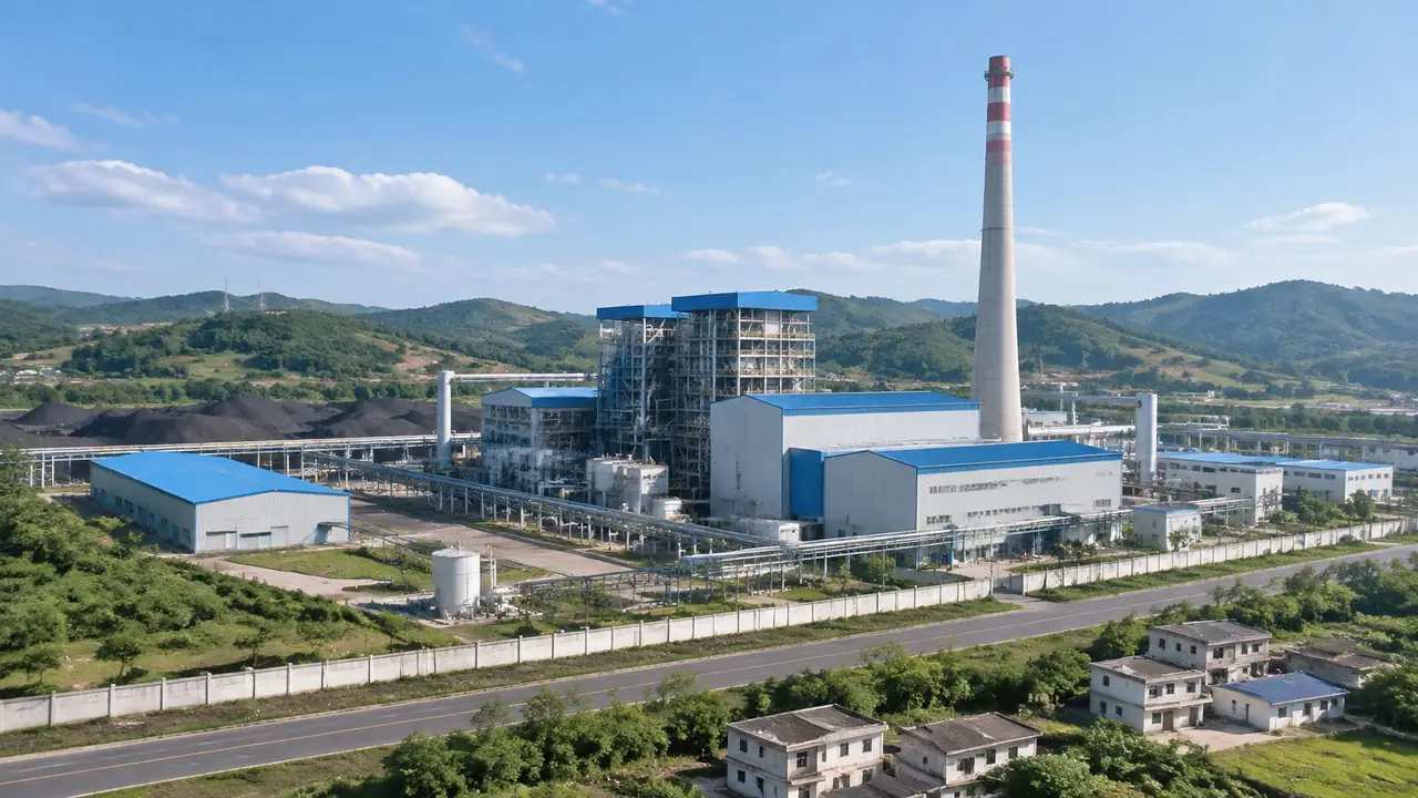
The generated scene holds no deck, no piers, no girders and no parapets. A viaduct in the view is an alignment waiting for design geometry, not an object the platform builds. That explains the blank space where a reviewer expects a structure, and it is worth saying out loud before anyone asks. Bring the bridge model from the design team, place it on the generated ground, and the view becomes a composite with two sources that should stay labelled wherever it is used. Naming the source on the slide keeps that composite readable to anyone who joins late.
4.2 No clearance or structural check
Nothing in the scene measures vertical clearance, span, pier spacing or load capacity. Those are engineering questions answered by calculation and by standards. buildingSMART publishes exchange work that usually carries those answers between tools. Present the scene as context and leave the checks with the engineers. Standards work better than screenshots for that job, and they carry the reasoning with them. A convincing picture has never kept a bridge from being mis-dimensioned, and treating it as a check invites the error that a phrase like "it looks right" tends to hide.
5 Running the review
5.1 A sequence that holds
Open wide to place the crossing, narrow to the span under discussion, then show the option you want to argue for. Three frames carry most sessions. Each frame gets a caption with its extent, so the sequence stays readable a week later. Starting with the option invites detail arguments before the constraint is understood. If a question arrives that the scene cannot answer, write it down and move to the next frame instead of improvising an answer on the spot. A caption is cheaper than a repeated explanation.
5.2 Handoff to the next team
Preview the scene and export a GLB when the discussion moves on. The export carries ground, buildings and vegetation into 3D, BIM, GIS and game engine workflows, where design geometry can be placed beside it. Test the file in the receiving tool before a meeting depends on it. Note which buildings were edited and which were left as generated. The receiving team needs that note more than it needs a paragraph about the software that produced the file.
Open the GenAnywhere app and frame an overpass corridor
6 Before you export
6.1 Scope
Decide how much ground the file covers. A corridor along the whole route serves route context and serves a single junction badly. Match the extent to the receiver's question, and keep the wide version as a second file if both are needed. Two clearly named files beat one that tries to answer everything. Put the extent in the file name, since the frame is the thing a new reader has to understand after opening it. A file name is the one label that travels with an export.
6.2 Missing assets
Bridges, gantries, signs, lighting columns and guardrails are design or equipment items. List them in the handover so the receiver knows what will arrive later and from where. The list also separates context from illustration, which is the distinction most likely to blur once a picture looks finished. A short list written before the export prevents the question that always comes otherwise: why is there no bridge in the bridge file?
6.3 Purpose
Say what the file is for: a massing comparison, a visual check, a game engine scene, a GIS overlay. Purpose decides what the receiver prepares and which parts of the scene matter. An export sent without one tends to be opened once and then forgotten. If the purpose changes, export again rather than stretching the old file past what it was built for. A single line of intent is enough, and it saves a round of emails later. Purpose is the cheapest form of documentation a team can write.
7 FAQ
FAQ-1 Does GenAnywhere generate the bridge itself?
No. The scene covers terrain, buildings, vegetation and water around the crossing. Deck, piers, girders and parapets come from a design model and are placed in a downstream tool. The platform gives the crossing its setting, which is what an early review actually argues about. Describe the bridge as a design asset on every slide where it appears, and keep the structural claims with the people who can support them.
FAQ-2 What extent should I use for an interchange?
Start with a frame wide enough to show both approach roads and the nearest buildings, then add a closer frame for the span under discussion. Two frames at different scales usually answer more than one very wide frame. Extent is a judgement about the question, not a setting with a correct value. Write the extent on each screenshot and the audience will follow the change of scale without a prompt.
FAQ-3 Can I check clearance in the scene?
No. Vertical clearance, span and pier spacing are engineering values and the scene holds none of them. It shows the ground and the buildings, which is what a group needs in order to agree on placement and access. Keep the clearance question with the design model and the standards that govern it. Mixing the two is how a site picture ends up being quoted in a discussion it cannot support.
FAQ-4 What do I get at the end?
A previewable 3D scene and an exported GLB of ground, buildings and vegetation for 3D, BIM, GIS or game engine workflows. Edits you made travel with it. The bridge and the roadside equipment do not, because they were never generated. Test the export in the receiving application, note the edits, and list the assets still to be added before the file leaves your hands.
See how a generated crossing site moves into a GLB workflow
Content and technical notes
This article was prepared by the GenAnywhere team with AI-assisted drafting and human review.
Product features, formats, and availability change as the platform evolves; refer to the official GenAnywhere website for current details.
For technical questions or corrections, contact support@genanywhere.com.
Last reviewed: 2026-11-13.