
Metro station reviews: how GenAnywhere sets the scene
The station sits in a generated neighbourhood of streets, buildings, terrain and vegetation, ready for a context review.
GenAnywhere builds a 3D site from map and satellite data, and around a metro station that site is the neighbourhood the station serves: streets, buildings, ground levels and the open space between them. The station structure itself may appear as a building mass where the map data shows one, but the generated content is the setting rather than the station design. That makes the scene useful for the questions asked before a design is fixed, and honest about the ones it cannot answer.
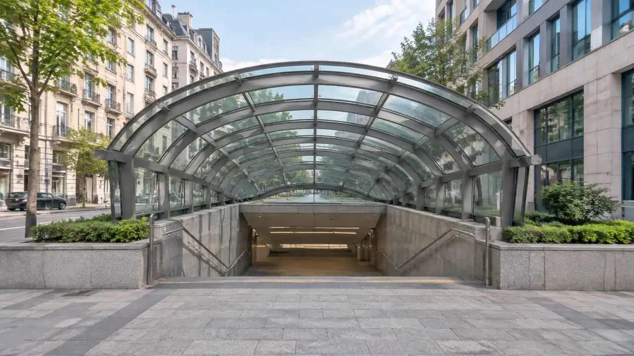
1 What the scene gives a station review
1.1 Surrounding buildings and streets
The scene carries the buildings around the station, with footprints from map data and estimated heights. Streets appear as part of the ground surface, along with the blocks they run between. That combination answers the opening question in most station reviews: how the station sits in the neighbourhood and what it is next to. A quick pass through the buildings the audience knows turns a generic scene into one they trust, and that trust matters more than detail in a context review. It is a context view rather than a street design, and it is strongest when the audience needs orientation rather than dimensions. The platform overview lists the content the scene generates.
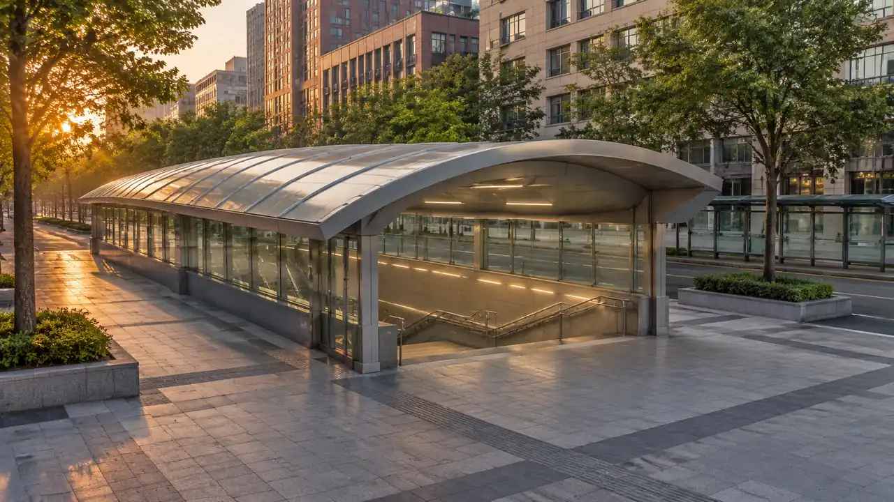
1.2 Entrances and ground levels
A station entrance that exists in the imagery usually appears as a building mass, and the ground around it shows the levels the map data describes. Steps, ramps and escalator wells are not modelled as separate elements, so the entrance reads as a volume rather than a route. For a review about visibility and frontage that is often enough. If the entrance has moved since the imagery, correct the mass and say so. For a review about accessibility or crowd movement, the scene is the setting and the design model is the subject.
2 Reading the station in context
2.1 Heights and massing of neighbours
Neighbouring heights are estimated, so a tall block may read slightly short and a low one slightly tall. What survives is the relationship: which buildings dominate, which sit back, and how the station frontage fits between them. Correct the buildings you know, especially the ones that frame the entrance, and the scene becomes a reliable instrument for a massing conversation. Leave them uncorrected and the audience may argue about a height that was never right. A height that is off by a floor can change the argument about daylight, so flag it rather than defend it.
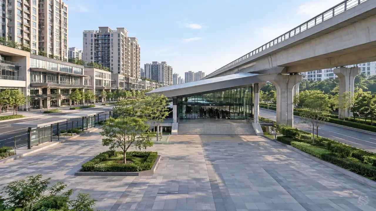
2.2 Vegetation and open ground
Vegetation is generated as part of the scene and can be shown or hidden as a layer. Around a station, trees often define the approach and the waiting areas better than any line on a plan, so keep them visible when the discussion is about the street. Hide them when the discussion is about the ground or the building edge. Open ground, forecourts and plazas read from the terrain and the absence of buildings rather than from a separate object. Trees also hide mistakes, which is a reason to look at the scene with them hidden at least once.
3 Edits
3.1 Replacing a neighbouring block
A neighbouring building can be replaced, moved, rotated and adjusted in height or type. That lets a review test a redevelopment next to the station, a taller block that changes the entrance light, or a demolished building that opens a view. The edit is quick, so two options can be compared in one session. Label the options, because a station review often returns to the same corner months later with a different audience. If the proposal is a mass, name it in the scene notes so nobody mistakes it for existing fabric.
3.2 Layers
Buildings, terrain and vegetation can be previewed and managed as layers. Hiding buildings exposes the street pattern and the ground levels; hiding vegetation clarifies the built edge. Reviewers move between views without rebuilding the scene, which keeps a workshop on the question. Say which layers are active when a screenshot is shared, because a stripped view can look like a different site to someone who joins the discussion late. The layer view is also a fast way to check whether the street pattern reads at all.
4 Limits
4.1 No structural, passenger or fire analysis
The scene does not model structure, passenger flows, evacuation, fire safety or ventilation. Those studies need design data, simulation tools and qualified specialists, and they belong in their own process. Organisations such as UITP publish material on how that work is usually organised. A 3D view can help a group see how an entrance sits in the street, but it cannot tell them whether the station works. Keep that boundary explicit, especially when the audience includes engineers who will read a polished image as a claim. The scene can show where a study area sits; it cannot run the study.
4.2 Imagery date
Cities change around stations, sometimes quickly. A new block, a widened pavement or a closed entrance can postdate the imagery, and each one changes how the site reads. Check the date for the area and mention it when the scene is shown. If the changes matter, correct the buildings you know and note the rest. A dated scene is useful context; an undated one invites conclusions the data cannot support. If the imagery predates a nearby development, say so before the frontage is discussed.
5 Running the review
5.1 A sequence
Start with the station in its neighbourhood, then the street frontage, then the entrance under discussion. The wide view answers how the station relates to the surrounding blocks; the closer views answer how the entrance meets the street. That order gives the audience a map before it gives them a detail. It also keeps the conversation away from station internals that the scene was never meant to show. If the audience is local, they will correct the scene as you go, which is useful.
5.2 Handoff
Preview the scene and export a GLB when the review moves to another team. The file carries the neighbourhood context into 3D, BIM, GIS and game engine workflows, where the station design can be placed and compared. Test the file in the receiving tool before a meeting depends on it, because import behaviour differs. Note the extent and the edits, so the next team starts from the same view. A short note is enough to start the conversation.
Open the GenAnywhere app and frame a station neighbourhood
6 Before you export
6.1 Scope
Decide how much of the neighbourhood the review covers. A station and its immediate blocks show frontage and access clearly; a wider area shows catchment relationships but thins the detail. Choose the extent that supports the decision and name it in the handover. If two questions need two extents, export two scenes rather than stretching one. Name the area the way the project team does, not by coordinates alone.
6.2 Missing detail
Station structures, platforms, escalators, signage and street furniture are not in the generated scene. List them in the note and say where the geometry comes from. The list also tells the audience which parts of the picture are context and which are design. That distinction matters when a realistic image is used to support a decision about a station that has not been built. A named owner for each missing element keeps the list honest.
6.3 Next step
Say who receives the scene and what they will do with it. A planning team may want the neighbourhood and the frontage; an engineering team may want the ground under its station model. Naming the next step keeps the export purposeful. If nobody can say what happens next, the review needs a question answered before it needs another file. That answer usually shows whether a second export is needed.
7 FAQ
FAQ-1 Does GenAnywhere model the metro station?
It can include the station building as a mass where the map data shows a footprint, with an estimated height and an inferred type. It does not model platforms, tunnels, escalators, structure or station systems. For a context review, the mass is often enough to show how the station sits in the street. For a design review, the station model comes from the design team. The two can sit in the same scene when the tools allow it.
FAQ-2 Can I show a new entrance?
You can place or adjust a building mass to represent a new entrance volume and see how it reads from the street. The mass will not show stairs, escalators, canopies or signage. Describe it as a volume in the meeting rather than presenting it as a design. That keeps the conversation on the question the scene can answer, which is how the entrance sits in its setting, and avoids a detail argument the scene cannot settle.
FAQ-3 Can the scene support passenger or fire studies?
No. Passenger flow, evacuation, fire safety, ventilation and structural behaviour all need specialist analysis with design data. The scene gives those studies a setting and gives the audience orientation. It does not produce the answers. Keep the analysis in the appropriate tools and with the qualified team, and use the model to explain where the study sits in the street.
FAQ-4 What do I get at the end?
A previewable 3D scene and an exported GLB carrying the neighbourhood context for 3D, BIM, GIS or game engine workflows. The file includes terrain, buildings and vegetation, plus any edits you made. It does not include station systems or street furniture. Test it in the receiving tool, confirm the extent, note which buildings were corrected, and keep the scene for the next round.
See how a station neighbourhood moves into a GLB workflow
Content and technical notes
This article was prepared by the GenAnywhere team with AI-assisted drafting and human review.
Product features, formats, and availability change as the platform evolves; refer to the official GenAnywhere website for current details.
For technical questions or corrections, contact support@genanywhere.com.
Last reviewed: 2026-11-13.