
Oblique photography for site models: where GenAnywhere fits
What an angled aerial capture records, and which part of the base a map-derived model can carry.
Oblique photography records surfaces from several angles and turns them into a textured model of what was there on the day of the flight. A map-derived site model answers a different question: it gives a team an editable arrangement of buildings, ground and water drawn from map data. The two are useful together, provided nobody expects one to do the other's job.
1 Separate the capture from the base
1.1 What does an angled capture produce?
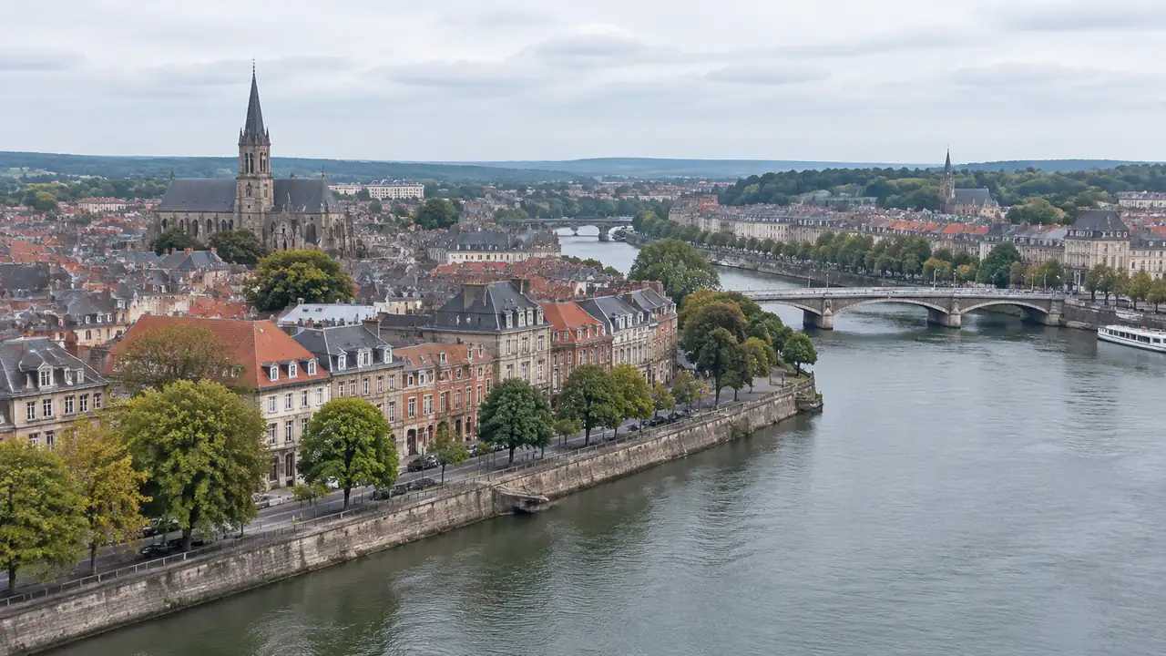
It produces a visual record with texture. Several cameras pointing at different angles capture façades as well as roofs, and photogrammetry turns the images into a mesh that can be viewed and measured.
That texture is the point. A rendered map model shows a grey block where a building stands; an oblique capture shows the brick, the shopfront and the fire escape, which is why it is used for existing conditions.
A photograph and a mesh differ in what they let you do, even when they show the same wall. The output is a record of a moment, not a design tool. Editing it means working with a mesh that carries no separate idea of a wall, a roof or a tree. The texture does carry colour and wear, which is why a condition survey can quote the record rather than describe it from memory.
1.2 What does a map-derived model produce?
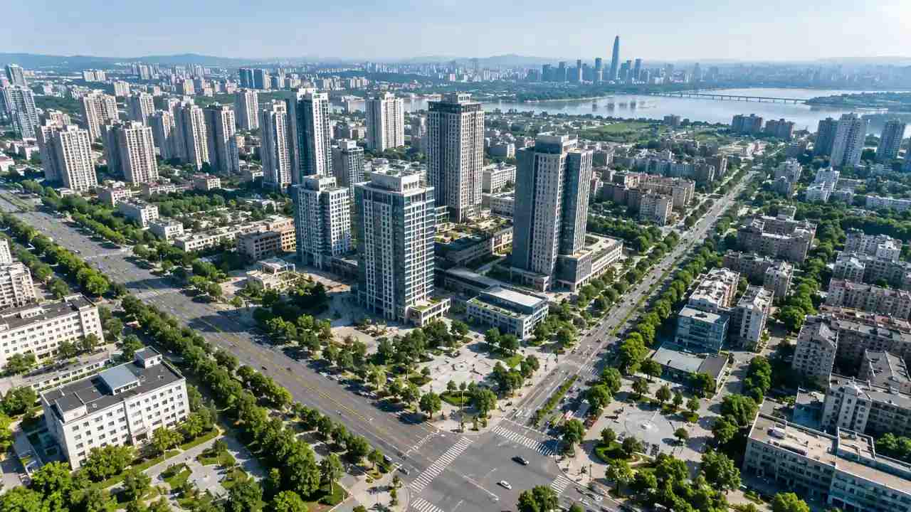
GenAnywhere builds a site model from a drawn map area, using satellite and map data. It identifies footprints, estimates heights, infers building types and reads vegetation, then presents buildings, terrain, water and vegetation on separate layers.
The value is structure. A planner can hide the trees, replace a building, move a block or change a height without touching a mesh, and the scene stays readable as an argument about arrangement.
What it lacks is surface truth. The model shows a plausible mass, not the state of a façade or the position of a fence. It does not inherit the holes of a flight, because it was never photographed; it simply says less about the surface.
2 Use each for its strength
2.1 Where does the capture lead?
Use the capture when the question is about what is there: a condition survey, a heritage record, a check on a recently completed scheme or a construction sequence.
Use it when texture matters to the decision. A proposal beside a listed façade needs the façade, not a grey box, and the capture supplies it.
Use it when the site is complex and irregular. Photogrammetry records the awkward parts that a map generalises, including the lean-to, the retaining wall and the yard. A capture planned around a boundary question should be framed around the boundary, not around the main building.
2.2 Where does the editable base lead?
Use the map-derived model when the question is about what could be there. A blockout, a density test, a route study or a massing comparison needs volumes that can move.
Use it when the team needs layers. A transport officer wants the ground, a designer wants the mass, and a councillor wants the view from the street; one scene can serve all three if the layers stay separate.
Use it when the area is larger than a single capture. A district review often covers ground that no one has flown, and the map base fills the gap with a consistent level of detail. That is a different kind of knowledge from a photograph, and it is the reason the two files stay apart.
3 Combine them without confusion
3.1 How do you align the two?
Agree a common origin and unit before anything is merged. A capture delivered in a local grid and a model built in a different frame will look close and sit wrong.
Check two or three known dimensions: a door width, a pavement width and the gap between two buildings. If the two sources disagree, decide which one governs the decision and note the choice. Where they differ by more than the decision can tolerate, treat the scene as unverified until the cause is found.
Keep the capture and the model as separate files. Merging them into one scene hides which geometry came from where, and the distinction matters when a reviewer asks how a dimension was obtained.
3.2 What should be labelled?
Label the capture with its flight date and the model with its imagery date. A scene that mixes two dates without a note invites the room to assume both are current.
Label the parts that are proposed. A new volume in a scene built from a capture should be visually distinct from what was photographed, or the review will treat the proposal as existing.
Label the level of detail. A capture at façade level and a model at block level should not be compared as if they carried the same information.
4 Review the combined base
4.1 Which checks belong to the capture?
Check the date and the coverage. A capture that stops at the site boundary leaves the neighbour's yard blank, and the blank is where the argument often sits. Check the date against the drawing revision as well as the calendar, because a scheme can be drawn from a record that was already old.
Check the known failure surfaces: water, glass, moving vehicles and dense vegetation. These are the places where photogrammetry produces holes or noise, and they are usually visible as soon as the scene is opened.
Check the georeferencing. A capture that sits a metre off will make every comparison with a drawing look wrong, even when the capture itself is sound.
4.2 Which checks belong to the model?
Check the layer structure. If buildings, terrain and vegetation have been merged, the scene has lost the property that makes it useful for review.
Check the edits. A replaced building or a changed height is a deliberate departure from the imagery, and the note should say which. Write the departure down when it is made, while the reason is still fresh.
Check the scale on import. The GLB is a general export, and the receiving tool may apply its own units; confirm one known dimension before the team relies on the scene. The Khronos glTF specification describes the container, which helps when two viewers disagree about the same file.
5 Hand the base to the team
5.1 What belongs in the handover note?
The source and date of the capture, the source and date of the model, the software used to combine them and the person who checked the alignment.
The decisions the scene supports and the ones it does not. A combined base can show arrangement and texture; it cannot settle a boundary dispute or a planning determination.
The list of known gaps: the yards that were not flown, the surfaces that failed, the areas where the model and capture disagree. A short contents list at the front helps a reader who receives the pack months later.
5.2 What gets replaced downstream?
Anything the design touches gets rebuilt in the design tool: the new buildings, the regraded ground, the landscape.
Anything the design merely sees can stay as context. The opposite terrace and the riverbank can remain approximate, because the design needs them for scale and view alone.
Keep the combined base as a reference, not as the project file. A reference that is edited in place stops being evidence of what was there. The note should travel with the scene rather than in a separate message, because messages get lost.
6 Keep the scope honest
6.1 When is an oblique capture not needed?
When the question is a massing test on a clear site. A map-derived base gives the arrangement without the cost of a flight.
When the site is flat, simple and already documented. A survey drawing may carry more reliable dimensions than a fresh capture.
When the decision is about policy rather than place. A textured model adds nothing to a policy question that has no spatial form.
6.2 When is a map model not enough?
When the decision depends on a surface. A façade condition, a boundary wall or a recent alteration needs the capture.
When the site is changing quickly. A map base may lag, and a flight can record the current state. Where the site changes weekly, no static record stays current, and the note should say how often it is refreshed.
When the detail is the argument. A heritage setting or a construction sequence needs texture and confirmed geometry.
6.3 When do you stop adding detail?
Stop when the question has an answer the team can state in one sentence. More texture does not make a massing judgement more correct.
Stop when the file becomes slow enough to discourage use. A scene that takes minutes to open will be opened once.
Stop when the next question needs a different scale. A district review and a doorway detail rarely belong in the same file.
Draw the area in the GenAnywhere app and keep the capture and the model as separate references.
7 FAQ
FAQ-1 Does GenAnywhere process angled aerial images?
No. It builds a site model from map data and exports a general GLB. Angled imagery is processed in photogrammetry software, and the resulting mesh stays a separate source. The platform is the editable base beside that record. A processed mesh remains a reference the team interprets, and the base supplies the arrangement around it.
FAQ-2 Which source should set the dimensions?
The source that carries the responsibility for the decision. A measured survey or a controlled capture usually governs; a map-derived model provides context. State the choice in the note and check two known dimensions before use. Where the two disagree, write the choice down, because the next reader will not know which one was trusted.
FAQ-3 Can the two be merged into one file?
Yes, as a reference scene, provided the parts stay identifiable. Keep the capture and the model on separate layers or in separate files, and label what is proposed. A merged file without provenance is hard to defend. The practical test is whether a reviewer can still tell which surface came from the flight and which from the map.
FAQ-4 What if the capture is out of date?
Use it as a record of its date, not as current conditions. Check the site, a recent photograph or a new flight if the change matters, and update the note. The model can still provide the surrounding arrangement.
See how a map area becomes an editable site model in the GenAnywhere workflow.
Content and technical notes
This article was prepared by the GenAnywhere team with AI-assisted drafting and human review.
Product features, formats, and availability change as the platform evolves; refer to the official GenAnywhere website for current details.
For technical questions or corrections, contact support@genanywhere.com.
Last reviewed: 2026-11-06.