
High-speed rail siting: what GenAnywhere can test early
Before alignment studies begin, a generated site model can frame the corridor question.
High-speed rail siting starts with a corridor between two places, not with a track drawing. The early work is to understand what lies along that corridor: terrain, towns, rivers, roads, and the buildings people already use. A generated 3D site model can help a team look at that ground quickly, while the questions are still broad.
1 What corridor siting asks before engineering
1.1 Read the land between two stations
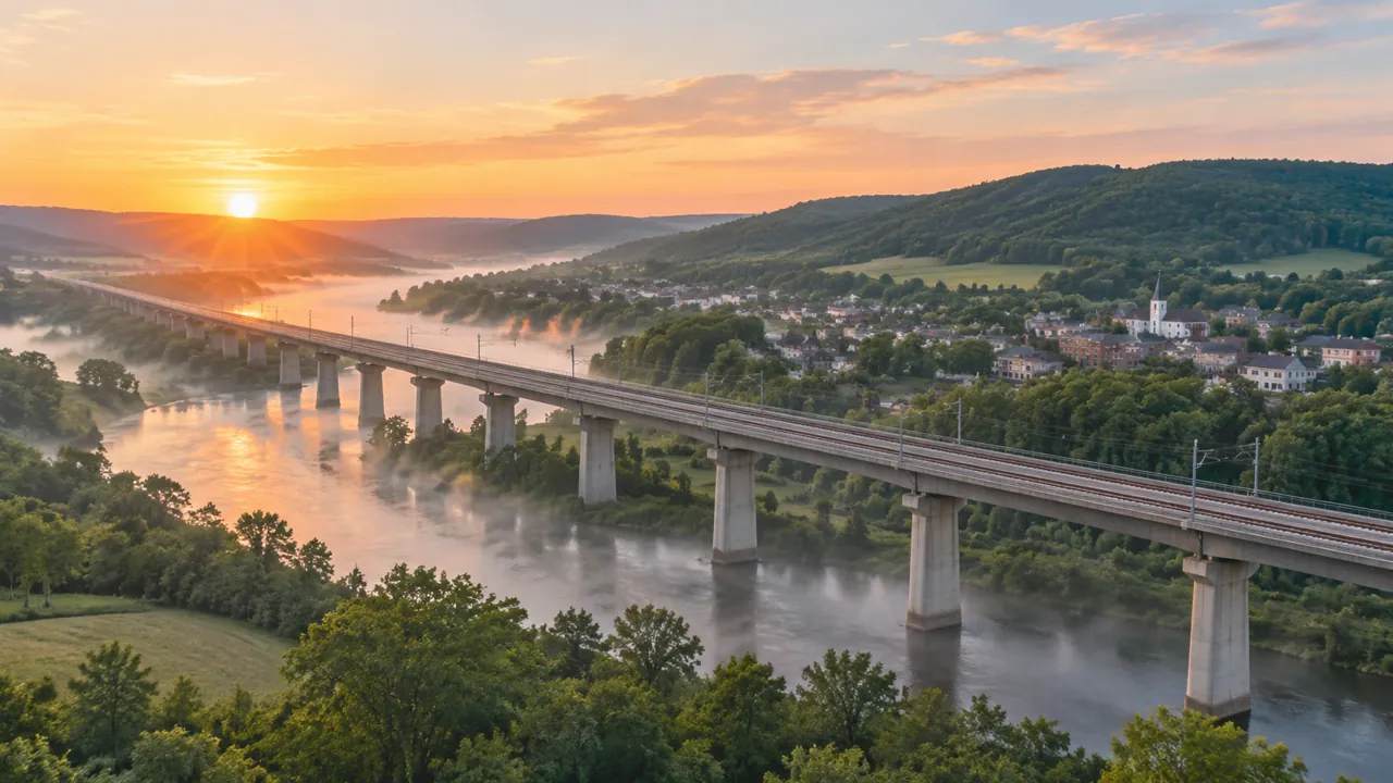
A rail corridor is a long, narrow argument with the landscape. It wants gentle grades, wide curves, and ground that drains. It also needs to reach stations where people already are, which pulls the line toward towns and away from empty ground.
Those two demands rarely agree. A route that follows a river valley may be easy to build and far from riders. A route through a town center may serve riders well and require tunnels, retaining walls, or property purchases. Early siting names that trade-off in plain terms before anyone commits to a line on a map.
Station locations deserve the same treatment. A station is not a dot. It is a catchment, an access road, a parking question, and a piece of land that may already have owners. The corridor and the station belong in the same study, even when they are drawn separately.
1.2 Separate fatal flaws from design choices
Some corridor problems end a route. A rail line through a contaminated site, a reservoir, or a dense historic block may cost more than the project can bear. Other problems are design choices: a curve radius, a bridge type, a retaining wall, a platform arrangement.
Early siting should sort the two. Fatal flaws need evidence and a decision to move the line. Design choices need options and a comparison. Mixing them produces meetings where nobody can tell whether a concern is a reason to stop or a detail to solve.
A useful test is to ask what would have to be true for the route to work. If the answer requires demolishing a hospital or crossing a runway, the route has a fatal flaw. If the answer requires a longer bridge or a deeper cut, the route has a cost question.
2 How a generated site shows the corridor
2.1 Select the area and inspect the terrain
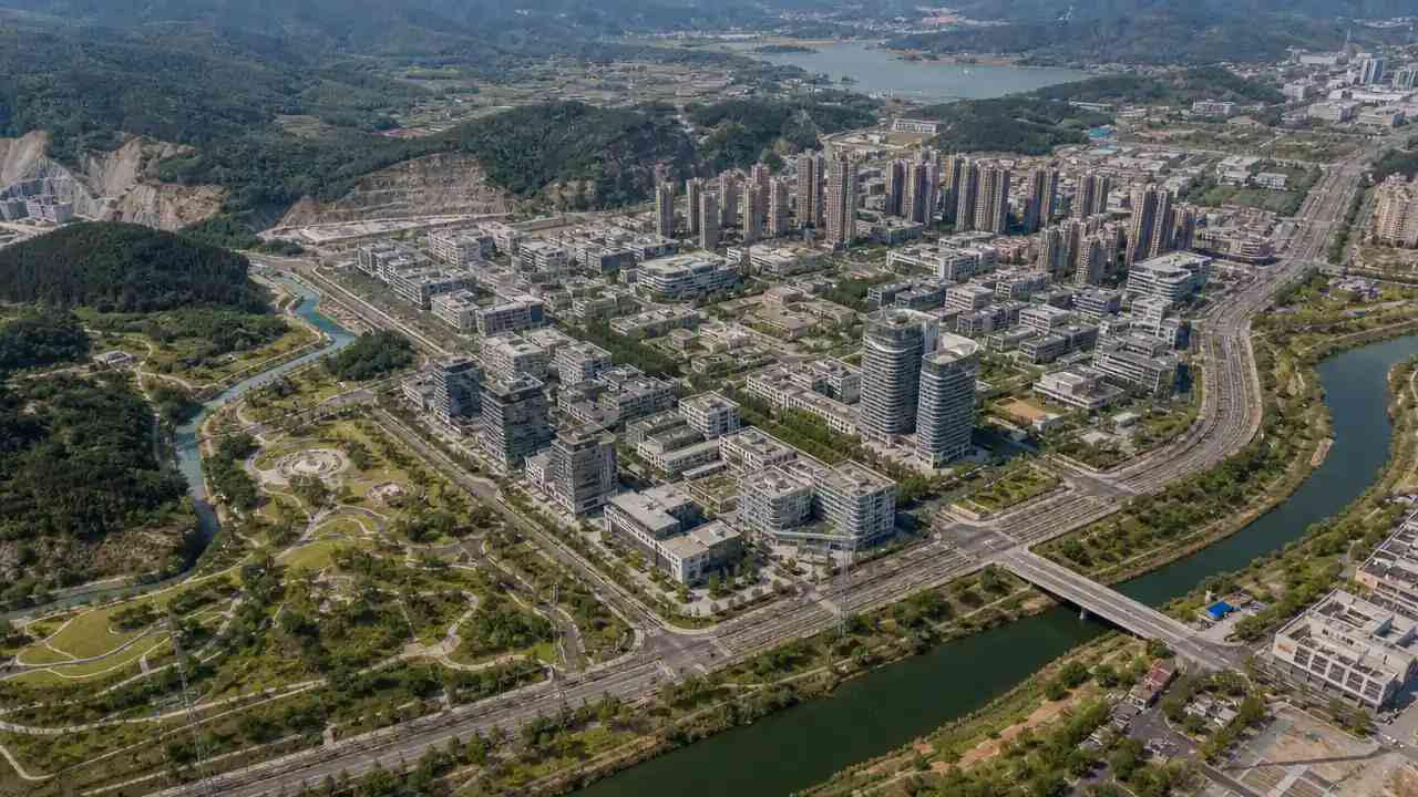
GenAnywhere begins with a map. You select an area around a candidate corridor, and the platform generates an editable 3D site model from satellite and map data. It identifies building footprints, estimates heights, infers building types, and analyzes surrounding vegetation. Terrain, water, and vegetation are matched automatically, so the model shows the ground as it stands rather than a flat plane.
For high-speed rail siting, that context matters more than a clean base map. A corridor that looks open on a plan may run along a ridge, through a stand of mature trees, or beside a row of houses that sit above the alignment. The model lets a team see those conditions from the angle a passenger or a neighbor would.
2.2 Sketch the alignment against real surroundings
The platform does not design rail alignments. It generates the site, and you carry the corridor into a design tool. What the model provides is a shared base: the same terrain, the same buildings, and the same vegetation for every option under discussion.
That shared base changes the conversation. Instead of comparing two drawings made from different assumptions, a team can place each alignment on the same ground and look from the same viewpoints. The differences that remain are the ones worth arguing about.
Buildings sit on their own layer, apart from terrain and vegetation. You can replace a single building, move or rotate it, adjust its height or type, and preview the result before exporting. A station concept can grow or shrink against the same neighborhood. A maintenance yard can move to a parcel that already looks industrial.
Keep the equipment limits in view. The platform generates terrain, water, vegetation, and building volumes. Track, catenary, signaling, and rolling stock are not generated. They come from design models and are added in a downstream tool.
3 What the model can settle, and what it cannot
3.1 Test visibility, access, and edge conditions
Three questions come up in almost every early corridor meeting. What will people see from their homes and workplaces? Where will access roads and station drop-offs land? How does the line meet the edge of a town, a river, or a protected area?
A site model can inform all three. Views from a second-floor window, the gap between two buildings, and the width of a riverbank are geometry, and geometry is what the model holds. It will not tell you whether a view is acceptable to the people who own it, but it can show them what the choice looks like.
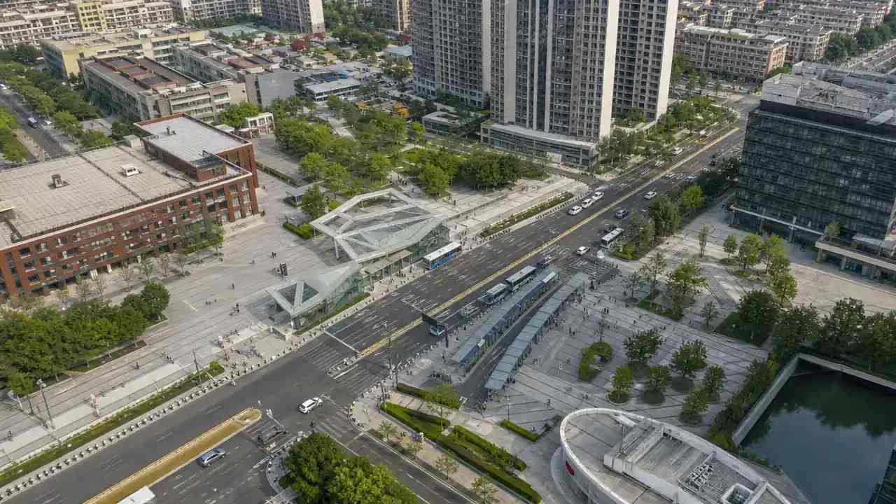
Access works the same way. A station on a highway edge may be easy to reach by car and hard to reach on foot. The model shows the surrounding street pattern and the walking distance to nearby blocks. It does not count turning movements or predict traffic.
3.2 Leave geotech, noise, and ridership to specialists
Some corridor questions need instruments and models the platform does not contain. Ground conditions require borings and a geotechnical report. Noise and vibration require source levels, propagation modeling, and a qualified analyst. Ridership requires travel surveys and demand forecasting.
Treat the site model as the frame that tells each specialist where to look. It can show the embankment that will carry the noise, the block where vibration may reach a foundation, and the station area whose access needs a count. It is not their report and cannot stand in for one.
4 Running an early options screen
4.1 Build a common base for comparison
Fair comparison needs a common ground. Build one model of the shared context, then place each corridor option on the same terrain with the same camera positions. Two or three options give enough range for an early screen. More than that and the audience starts comparing renderings instead of places.
Give each option the same treatment. Use the same station footprint, the same maintenance yard depth, and the same set of viewpoints. Record one view from a residential street, one from the town edge, and one from the river or highway crossing.
4.2 Write down what each option assumes
Every option rests on assumptions. A bridge may assume a certain span. A station may assume a parcel can be assembled. A tunnel may assume ground conditions that nobody has tested.
Keep those assumptions next to the model, in plain language. When a meeting turns to a favorite option, the list of assumptions is what keeps the discussion honest. It also gives the next study a place to start.
5 Working with agencies and the public
5.1 Prepare visuals that match the current scheme
Public meetings inherit whatever drawing was sent to the printer. If the scheme changed after that, the meeting is already off balance. A site model helps keep the picture current, so the massing under discussion matches the massing on screen.
Bodies such as the Federal Railroad Administration publish guidance on project development and environmental review. The details vary by project and jurisdiction, and a planning team should read the current rules rather than rely on a summary.
5.2 Keep a record of what is still unknown
Honesty about gaps does more for a project than confident drawings. Keep a short list of unknowns: ground conditions, property ownership, utility locations, and the results of specialist studies. Update it after each meeting.
That list protects the team. When a resident asks whether the line will be noisy, the answer can point to the study that will address it, rather than to a picture that cannot.
6 What to carry into the next stage
6.1 Check the model against the ground
Every generated model carries assumptions. Heights are estimated, building types are inferred, and the imagery may predate a recent renovation or a new subdivision. Walk the corridor and the station areas, and correct what the model got wrong before it becomes a public drawing.
Ask owners of adjacent parcels about planned changes. A lot shown as vacant may already have a permit filed. A field shown as pasture may be under contract for housing. The model is a snapshot, and the ground is the record.
6.2 Export the geometry and hand it on
The output is a general GLB, previewed in the platform and exported for 3D, BIM, GIS, or game-engine work. Tutorials cover Unreal Engine, Unity, Blender, Revit, Rhino, SketchUp, ArcGIS Pro, GISBox, and Wings Engine, so the file can move into tools the design team already runs.
GenAnywhere is not the right tool for alignment design, structural engineering, or environmental analysis. Use it to understand the ground and compare options, then hand the site to the people who will design the line.
6.3 Decide whether the platform fits the question
A generated site model earns its place when the question is about context: what is around the corridor, how a station sits, what a bridge approach would touch. It adds little when the question is about ridership, cost, or ground conditions.
Ask that question before the next meeting. If the answer is context, build the model, walk the ground, and bring the result. If the answer is something else, commission the study and keep the model for the picture.
7 FAQ
FAQ-1 What can GenAnywhere model along a rail corridor?
GenAnywhere generates an editable 3D site model of the area you select, including terrain, water, vegetation, and building volumes with estimated heights and inferred types. That gives a rail team the surrounding ground, the towns and roads the corridor would touch, and a common base for comparing options. It does not generate track, catenary, stations, or rolling stock. Those come from design tools.
FAQ-2 Does the platform replace survey work or alignment design?
No. The model is built from satellite and map data, with estimated heights and inferred building types, and it is not a survey product. Corridor alignment, structural design, and geotechnical work belong to licensed professionals using their own instruments and standards. Use the model for early context and option comparison, then commission the formal work before any submission.
FAQ-3 How current is the imagery behind a generated site?
The model reflects the satellite and map data available for the area when it was generated. A recent subdivision, a demolished building, or a changed road may be missing. Treat the result as a snapshot, walk the corridor before relying on it, and regenerate closer to a public meeting if the area is changing quickly.
FAQ-4 Can the exported file go into GIS and BIM software?
The export is a general GLB, and the tutorials cover Revit, Rhino, SketchUp, ArcGIS Pro, GISBox, Blender, Unreal Engine, and Unity. Import behavior varies by tool, and a large corridor may need splitting into smaller areas. The file carries geometry and materials, not engineering data or coordinates prepared for survey use.
Content and technical notes
This article was prepared by the GenAnywhere team with AI-assisted drafting and human review.
Product features, formats, and availability change as the platform evolves; refer to the official GenAnywhere website for current details.
For technical questions or corrections, contact support@genanywhere.com.
Last reviewed: 2026-11-22.