
Housing bonds: how site context enters local programs, GenAnywhere
What staff need to see before a candidate site reaches a board packet
Housing bond programs usually begin with a list of sites and a set of questions about each one. How big is the parcel, what surrounds it, and what would it take to make it buildable? Staff and their consultants need a common way to look at those questions before a program moves from inventory to discussion. GenAnywhere builds an editable 3D site model from a map selection, which gives a local team a shared view of the ground without a design contract.
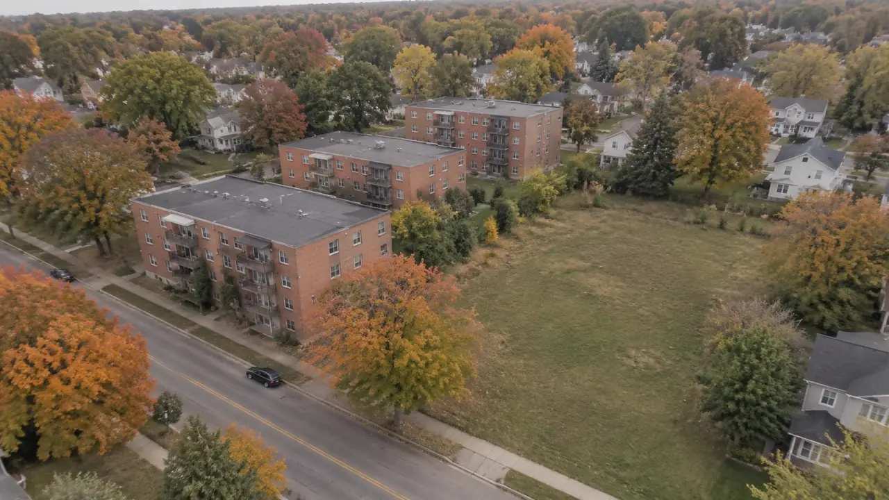
1 Where site context enters a program
1.1 What does a site inventory need?
Housing bonds fund a process that begins with sites, so the inventory is where the work becomes visible. An inventory works when each entry answers the same questions in the same order. Parcel size, street frontage, slope, drainage, surrounding uses, and access to utilities belong on every page. So does the source of the information and the date it was collected. A consistent format lets a board compare a scattered set of sites without asking staff to explain each one from memory. It also makes gaps visible, which is useful when a program has more candidate sites than it can study in a single cycle.
1.2 How does terrain affect a candidate site?
A parcel that looks flat on a map can carry a slope that changes the building envelope, the parking layout, and the stormwater plan. A site at the bottom of a hill may collect water from a larger area; a site on a ridge may need retaining walls at the building edge. These are early questions, not design conclusions. Seeing the ground in 3D helps staff describe the constraint in plain language and decide whether a site deserves a closer study. That keeps the inventory moving without pretending the answer is known.
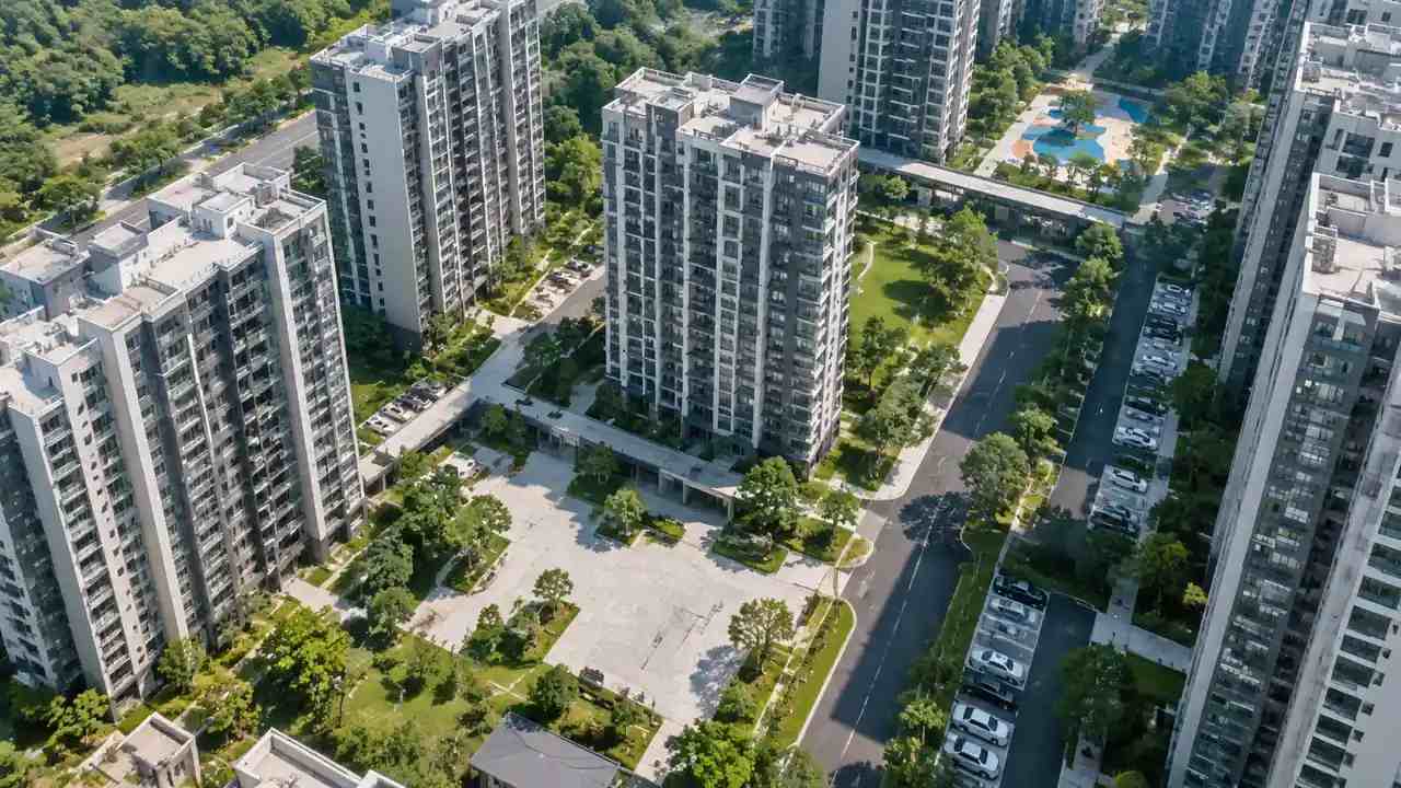
2 Reading a neighborhood edge
2.1 What do access and utilities show?
A site can be affordable and still be hard to serve. The distance to a sewer main, the width of the street, and the presence of a sidewalk all affect how a future building would connect to the neighborhood. A 3D view of the block shows where the street network meets the parcel and where a driveway would have to go. It does not confirm capacity or cost. Those answers come from the utility and public works departments, but the scene helps staff ask for the right information.
2.2 How do teams compare scattered sites?
Use one view set and one question list for every site, even when the parcels are in different parts of a city. A site near a transit stop and a site at the edge of a subdivision will look different, and that difference is the point. Keep the assumptions about building type and height the same, then note where the land cannot support them. The comparison should show trade-offs, not rank sites by appearance. A written note per site keeps the pictures honest.

3 Communicating with residents and boards
3.1 How does a 3D view help a public meeting?
A rendering can answer the question residents ask most often: what will it look like from here? A view from the sidewalk, a view from a nearby window, and a view from the street corner give people something concrete to discuss. The Department of Housing and Urban Development publishes guidance on community planning and engagement that can help staff frame those conversations. The scene does not settle a design, but it lets a meeting move past the question of what a massing might look like and into the questions that matter more.
3.2 What should the material avoid claiming?
Avoid suggesting that a site is approved, eligible, or funded. Those are program and policy decisions, and a 3D scene cannot make them. Label the images as site context, not as a proposal. If a building shape is shown, say that it is an assumption used for comparison. That language protects the program from a misunderstanding and keeps the public conversation focused on what the land can support, which is the part the scene can actually show.
4 Keeping the record clear
4.1 What should staff document?
Record the parcel, the source of the boundary, the imagery date, and the assumptions used in the scene. Note the slope, the visible drainage path, the access options, and the surrounding uses. Add the questions that need a utility, a survey, or a legal review. A short record per site is enough. The goal is a file that a new staff member can read in a few minutes and understand why a site is on the list, what is known, and what is still open.
4.2 How should limits be stated?
Say plainly that the scene is built from map and satellite data and does not show legal boundaries, buried utilities, or soil conditions. Say that building heights and types are estimates. Say that the model is a communication aid, not a site plan. A short limits note at the top of a briefing page prevents most of the confusion that follows a polished image. It also gives staff a defensible answer when someone asks whether the picture is real.
5 Where GenAnywhere fits
5.1 What can staff build?
GenAnywhere generates a 3D scene from an area chosen on a map, then lets a team edit the buildings it finds. A structure can be replaced, moved, rotated, or changed in height and type, and terrain, water, and vegetation are generated and matched to the ground. Buildings, terrain, and planting can be viewed and managed as separate layers. For a housing program, that supports early tests of massing, access, and site coverage without a design contract or a survey.
5.2 What does export support?
After preview, the scene exports as a general GLB file for 3D, BIM, GIS, and game engine workflows, including the directions covered in the official tutorials. Staff can share the scene with a consultant, an architect, or a communications team without asking each of them to learn the same authoring tool. The file is a review asset, not a survey product, and the receiving software decides how coordinates are handled. Test the handoff before a public meeting depends on it.
6 Limits and next steps
6.1 When is a model not enough?
When the question is about ownership, zoning, environmental review, or funding, a 3D scene is not the tool. Those answers come from records, legal review, and the program's own rules. The scene can show what the land looks like and how a building might sit on it. It cannot decide whether a site should be acquired or whether a project meets a policy goal. Keeping that line clear is part of using the tool responsibly.
6.2 What belongs in a briefing packet?
One page per site, a fixed set of views, a short constraint list, and a note on the questions still open. Include the assumptions about building type and height, and state the limits of the scene. Add the contact for each open question so a board member knows where to follow up. The packet should let a reader compare sites without a guided tour and should make the uncertainty as visible as the opportunity.
6.3 How does a program start?
Choose two sites from the inventory and build both before the next staff session. Keep the scenes rough and the questions specific. The aim is to test whether the format helps the group compare sites, not to produce a finished exhibit. If the two scenes make the trade-offs clearer, extend the method to the rest of the list. If they do not, change the questions before adding more sites.
Start with a map selection in the browser app, then follow the site workflow to prepare the inventory review.
7 FAQ
FAQ-1 Does the platform decide site eligibility?
No. Eligibility is a program and policy decision that depends on rules, funding, and local approvals. The platform builds a visual scene of a site and its surroundings. It does not evaluate applications, rank sites against program criteria, or produce a determination. Staff can use the scene to describe a site in a briefing, but the decision stays with the program and its governing board. Treat the model as communication material, not as a review finding.
FAQ-2 Can a model show infrastructure capacity?
It can show where streets, buildings, and visible utility corridors sit around a site, which helps staff ask the right questions. It cannot show pipe size, sewer capacity, water pressure, or the condition of a line. Those answers come from the utility departments and their records. Use the scene to locate the connection points and to frame a request for capacity information, then keep the utility data separate from the visual model.
FAQ-3 How do staff compare scattered sites?
Use the same views, the same assumptions, and the same question list for every site. Build each site as a separate area and name the files so the location and date are clear. Compare in rounds: an opening pass can remove sites with an obvious constraint, and a second pass can look closely at the survivors. The method matters more than the number of scenes, especially when the inventory is long and staff time is limited.
FAQ-4 Can a model be used in a public meeting?
Yes, with clear labels. A scene can show residents how a building mass might sit on a site and how access would work from the street. It should be presented as an illustration of site context, not as an approved plan. Say which parts are assumptions and which parts come from mapped data. That framing lets the conversation focus on scale, access, and fit, which are the questions a community can actually help answer.
Content and technical notes
This article was prepared by the GenAnywhere team with AI-assisted drafting and human review.
Product features, formats, and availability change as the platform evolves; refer to the official GenAnywhere website for current details.
For technical questions or corrections, contact support@genanywhere.com.
Last reviewed: 2026-11-08.