
Solar siting reviews: how GenAnywhere sets the scene
A siting review needs one shared picture of the land, its edges and its neighbours. The platform generates that setting; the array stays a design asset.
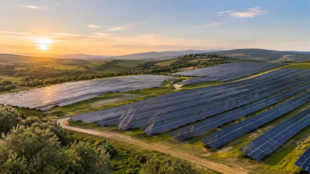
A siting review is a meeting with a decision at the end of it: which field, which boundary, which access, which view to study properly. GenAnywhere sets the scene for that meeting. It generates the land the array would sit on, with its slopes, ditches, hedgerows and neighbouring buildings, so the discussion has one shared picture instead of four different recollections of a site visit.
1 The scene a siting review starts from
1.1 What the review actually decides
Siting reviews tend to reopen the same four questions. Which part of the holding is workable, where the boundary sits relative to a hedge or a drain, how construction traffic reaches the site, and what a neighbour would see from an upstairs window. None of those are energy questions, which is why a generated site can carry them. Write the four on the agenda before the session, and the scene becomes the place where each one is pointed at rather than described. A meeting that names its questions spends less time on vocabulary.
1.2 What the platform puts on the table
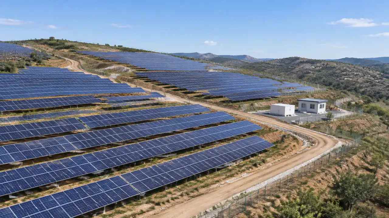
The platform contributes the setting, not the array. Terrain, water, vegetation and building masses are generated from map and satellite data, with heights estimated and types inferred, and each element can be switched as a layer. Modules, racks, trackers, inverter skids and the substation compound come from the design side as assets placed in a downstream tool. That division suits a siting review, because the site outlives several array layouts. The land stays the same while the proposal on it changes, and comparisons stay fair.
2 Preparing the scene before the session
2.1 Framing an extent per audience
Frame the extent for the audience in the room. A community group wants the village edge, the lane and the intervening fields, while a planner will ask for the site inside its administrative setting and the layout engineer will want the field boundaries at detail. Three extents from one map take minutes and remove the usual complaint that a picture was chosen to flatter the scheme. Name the files after the audience rather than after the date, and open with the one the meeting was called for. Keep the extents in a single folder, because a review that hunts for files loses its thread.
2.2 Correcting against the site visit
Correct the scene against the site visit before anyone presents it. A gate that has moved, a hedge cut back last winter, a barn taken down and a new track across a field are the changes a local audience spots immediately, and each costs minutes to fix. Keep a list of corrections beside the file. That list is also a record of how far the scene departs from its imagery, which matters when the same scene is reused for the next consultation round. A correction made deliberately is easier to defend than one made from memory in the room.
3 Two views, two arguments
3.1 The bare ground view
With vegetation hidden, the ground carries the argument: slope, drainage lines, the shape of the field pattern and the position of the access. This is the view for engineering and construction questions, because it shows where the land falls away and which corner would need the most work. Take a capture in this state before the session starts, since toggling layers while someone is talking loses the room. The bare-ground view also makes a setback argument concrete, because a margin against a drain reads differently without a hedge in front of it.
3.2 The neighbour view
With vegetation on and the camera at eye level, the same site answers the neighbour question. A tree belt that screens a barn, a gap where an array would show above a hedge, a roofline that lines up with a ridge: those are visible from the ground and invisible from above. Put the camera where the objector would stand, and the discussion changes tone. Two ground views, one from the lane and one from the nearest upper window, cover most of what a siting review argues about.

4 What the scene settles
4.1 Decisions a group can make from it
The scene settles more than people expect. Which fields are separable, where a fence could run without cutting a drain, how much of the site a setback removes, and whether construction traffic can reach the far corner without crossing a neighbour's land. Those are decisions, and a group that can see them tends to agree faster than one working from a plan with a north arrow. Record each decision against the view that produced it, so the next round starts from the agreement. Two of those decisions usually survive contact with the engineers, and the log is what tells you which two.
4.2 Limits to state out loud
Then state the limits before someone states them for you. No yield estimate, no row-to-row shading, no glare assessment, no ecology survey, no noise study and no grid capacity. Land cover products, such as those published by the USGS, describe a site at a scale a scene cannot improve on, and specialist studies remain the reference for the topics they cover. A picture of a field with an outline on it is a context image. Saying so early protects the review from being read as evidence.
5 Running the session
5.1 A fixed sequence
Run the session in a fixed order: the site in its landscape, the field under discussion, the access, then the neighbour view. Each step answers one question and the audience follows without being told where to look. Keep camera positions consistent between options, because a changed viewpoint flatters whichever option got the better angle. If the meeting has an hour, that sequence fits in forty minutes and leaves twenty for the questions that always arrive late. Write it on the agenda so nobody adds a slide mid-session.
5.2 A decision log
Keep a decision log with three columns: question, answer, owner. A siting review produces a dozen small agreements and two or three open items, and the open items are what the next meeting is for. Note which view each decision came from, since a decision made from the ridge and one made from the lane are not the same decision. Screenshots named after the question they answered survive longer than screenshots named after a date. A log of one page is enough, and it is the part people reopen.
6 After the review
6.1 Export to the layout designer
Export the scene once the siting is agreed. The GLB carries terrain, water, vegetation and building masses, and the layout designer adds modules and racking on top of that ground. Check the import in the receiving tool, because up axis and scale habits differ between applications. The platform overview describes what the file holds. A short note on the extent and the imagery date travels with it, and the designer knows what the ground is and what it is not. If the designer asks for a stripped scene, take a screenshot instead of a second export.
6.2 Working files between meetings
If the siting is not settled, export anyway and mark the file as a working version. A base that three people can open in their own tool keeps the conversation going between meetings, which is where most siting progress happens. Give it a version number and a line on the corrections it contains. Files that circulate without a version get edited in three directions and then compared as though they were the same thing. A number in the name prevents that confusion at almost no cost.
6.3 Knowing when to stop
A siting review that reaches the edge of what a scene can show has done its job: the field is chosen, the access is plausible, the neighbour view is identified. The next spend belongs with ecology, drainage, glare and grid work, each with its own specialist. Asking for those answers inside the scene wastes a meeting and delays the studies. Write the handover list at the end of the review, name an owner for each item, and close the session on that list rather than on another camera move. A review that ends with a list is easier to schedule than one that ends with an impression.
Open the GenAnywhere app and frame a solar site for review
7 FAQ
FAQ-1 Does the scene show the solar panels?
No. Panel rows, racking and inverter stations are design assets and are placed downstream on the generated ground. What the scene shows is the land, the field boundaries, the access and the neighbours, which is what a siting argument turns on. Panels can be added later as blocks or as a full layout, and either way the ground beneath them stays the reference. The review works before the layout is drawn.
FAQ-2 How many extents should I prepare?
Two or three, matched to the audiences in the room. A community view, a planning view and a field-level view usually cover a siting review, and generating them takes minutes. More than three is a sign the questions have not been agreed. Name each file after its audience and note the layer state, so nobody compares a stripped view with a complete one and reads a difference into it.
FAQ-3 Can this support a planning application?
It can illustrate the site and help a team decide which view deserves proper study. It does not produce a visual impact assessment, a photomontage to a required standard, an ecology survey or any consent evidence. Those come from qualified consultants working to the rules that apply locally. Keep the scene on the briefing side of that line, and the application documents can still use it as context.
FAQ-4 What should the review produce?
A short set of decisions, a list of open items with owners, and a dated scene that matches the version the room saw. If the meeting also produces a field choice, that is a good outcome. If it produces just a longer list of views to render, the agenda was too broad. Close on the decisions and the owners, and the next session starts where this one stopped.
See how a solar site becomes a shared review file
Content and technical notes
This article was prepared by the GenAnywhere team with AI-assisted drafting and human review.
Product features, formats, and availability change as the platform evolves; refer to the official GenAnywhere website for current details.
For technical questions or corrections, contact support@genanywhere.com.
Last reviewed: 2026-11-13.