
Infrastructure pipeline: what site screening changes, GenAnywhere
Turning a long list of candidate sites into a shorter, better-argued list
A project pipeline is a list of possibilities, and most of them will not survive contact with the ground. Site screening is the step that finds the constraints early, before a team spends a design budget on a location that cannot work. GenAnywhere builds an editable 3D site model from a map selection, which gives a screening team a shared view of terrain, buildings, and water across many candidate sites.
1 What site screening does in a pipeline
1.1 Which constraints stop a project early?
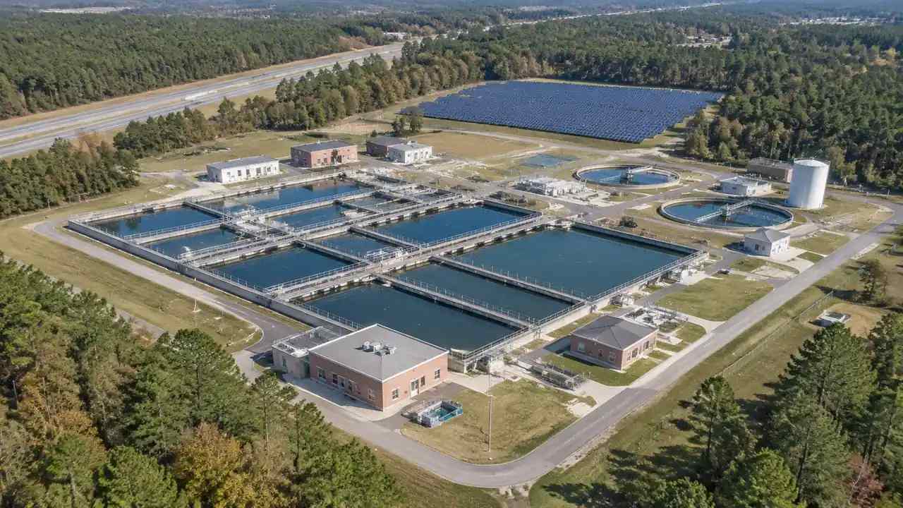
The constraints that kill a project are usually visible before any design work. A site that sits in a floodway, a parcel split by a rail line, or a location with no feasible access road will struggle no matter how good the program looks on paper. Screening is about finding those conditions fast enough to matter. A consistent visual check across candidates lets a team remove the obvious conflicts and spend its time on the sites that still have a real question to answer.
1.2 How does terrain enter the screen?
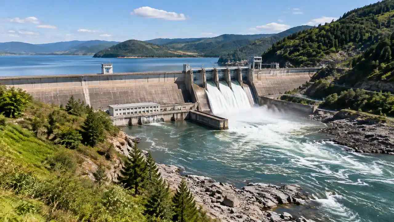
Terrain affects the shape of a project before any equipment is chosen. A slope decides where a pad can sit, how a corridor runs, and how much earthwork a site implies. A low spot decides where water collects. A ridge decides what a community will see. None of those observations is a design, and that is the point at this stage. The screen records what the land does, so the next stage can decide what to do about it with a clearer brief.
2 Screening many sites with the same method
2.1 What should every screen include?
Infrastructure pipeline reviews often span years, so the screening method has to survive staff changes. Every site needs the same set of views and the same list of questions. Show the parcel in its surroundings, the access options, the drainage direction, and the nearest sensitive use. Note the source date of the imagery and the assumptions behind any building shown. Keep the notes short. A screen that takes an hour per site and produces a comparable record is more useful than a detailed study of three sites that leaves the rest of the list untouched. The record should also say who did the screen and when, because a pipeline often passes through several hands before a decision.
2.2 How do teams rank without overclaiming?
Ranking should follow the evidence, not the rendering. Score the things the team can actually see and verify: access, terrain fit, visible constraints, and the number of open questions. Do not score cost, schedule, or approval odds, because the scene cannot support those judgments. Present the ranking as a working order for further study, not as a decision. That framing keeps the pipeline honest and makes it easier to revisit a site when new information arrives. It also keeps the team from defending a ranking that was never meant to be final.
3 Working across corridors and utilities
3.1 How do linear projects differ?
A road, a transmission line, or a pipeline is a corridor, not a parcel. The screen has to follow the route and check what it crosses: a river, a rail line, a built-up area, a slope that will not hold a cut. A 3D scene can be built in segments, with each segment showing the ground and the structures along it. That lets a team compare route options without pretending that a single overview image can carry the whole corridor. Segment notes are easier to review and easier to update.
3.2 What about existing infrastructure?
Visible infrastructure belongs in the scene: buildings, roads, bridges, and the general shape of a utility corridor. Buried lines and capacity data do not. The Federal Highway Administration publishes planning guidance that helps teams frame corridor and access questions. In the screen, mark what is visible and list what must be confirmed with the utility owner. That separation keeps the visual record useful and prevents a rendering from being read as a utility map.
4 Handing a screened site to design
4.1 What should the handoff contain?
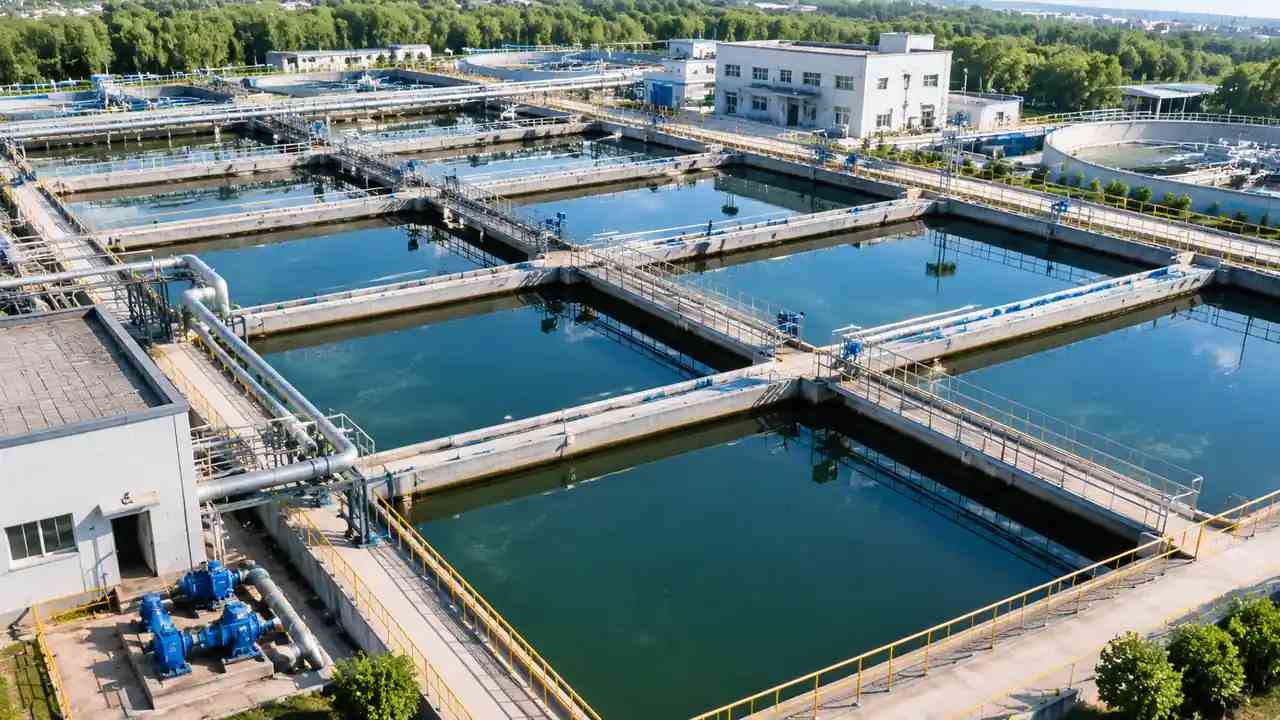
The design team needs the scene, the views, and the notes that explain what was checked. Include the assumptions, the open questions, and the name of the person who built each scene. Point out the areas where the terrain looks difficult and the places where access is unclear. A handoff that carries uncertainty is more useful than one that presents a clean picture, because the design team can plan its site visit around the real unknowns. If the scene was built for a different purpose, say so, because the assumptions may not match the new question.
4.2 How do teams keep the model honest?
Label the scene as a screening view built from map and satellite data. Do not add detail that the source cannot support, and do not let a polished render imply a level of study that has not happened. When a decision depends on a boundary, a utility, or a soil condition, name the study that will answer it. A short limits note at the top of the handoff does more for trust than a longer disclaimer at the end.
5 Where GenAnywhere fits
5.1 What can teams build?
GenAnywhere generates a 3D scene from an area chosen on a map, then lets a team edit the buildings it finds. A structure can be replaced, moved, rotated, or changed in height and type, and terrain, water, and vegetation are generated and matched to the ground. Buildings, terrain, and planting can be viewed and managed as separate layers. For a pipeline screen, that means a team can test a pad, a corridor segment, or a building footprint without a design model. The scene can be rebuilt when the source imagery changes, which helps when a site has been graded since the last review.
5.2 What does export support?
After preview, the scene exports as a general GLB file for 3D, BIM, GIS, and game engine workflows, including the directions covered in the official tutorials. A screening team can hand the scene to a designer, a GIS analyst, or a communications lead without asking each of them to use the same authoring tool. The file is a review asset, not a survey product, and the receiving software decides how coordinates are handled. Test the handoff before the pipeline depends on it.
6 Limits and next steps
6.1 When is screening the wrong tool?
When the question is about cost, schedule, environmental impact, or funding, a visual screen is not the answer. Those questions need a feasibility study, an environmental review, and a financial analysis. The screen can show the ground that those studies will examine, which helps a team scope them. It cannot substitute for them. A pipeline that treats a screen as a decision will make worse choices than one that treats it as a filter.
6.2 What belongs in a screening note?
One page per site: the location, the views, the visible constraints, the access options, and the questions still open. Add the source date, the assumptions, and the name of the reviewer. State the recommendation as a next step, not a verdict. For example, a note can say that a site deserves a survey, a utility check, or a conversation with the landowner. That language keeps the pipeline moving without overstating what the screen has shown. Add a date for the next review, so the note does not become a permanent opinion about a site that is still changing.
6.3 How does a team start?
Take the next five sites on the list and screen them with the same views and the same questions. Keep the effort proportional: a rough scene and a one-page note are enough at this stage. Compare the notes at the end of the round and see which sites still have a real question. Then decide whether to expand the method or adjust the questions. The goal is a repeatable filter, not a one-time exhibit.
Start with a map selection in the browser app, then follow the site workflow to prepare the screening round.
7 FAQ
FAQ-1 Does screening replace a feasibility study?
No. Screening removes sites with obvious conflicts and organizes the questions for the ones that remain. A feasibility study looks at cost, schedule, environmental impact, and funding in depth. The screen can make that study more focused by showing where the ground is difficult and where access is unclear. Treat the screen as the step before the study, and let the study carry the weight of the decision.
FAQ-2 Can the platform show utility lines?
It can show visible infrastructure such as roads, buildings, bridges, and the general shape of a corridor. It does not show buried lines, pipe sizes, or capacity. Those details come from the utility owner and from records that are not part of a surface scene. Use the model to locate the areas where a utility question matters, then confirm the answer with the responsible department before the design advances.
FAQ-3 How many sites can a team compare?
There is no fixed number, but the method works well when each round is small enough to review in one session. Five to ten sites per round is a practical range for many teams. Beyond that, the notes become hard to compare and the views start to blur together. If the list is longer, run several rounds and carry forward just the sites that still have an open question.
FAQ-4 What does the export suit?
The GLB export is a general scene for review and visualization. It suits design discussions, corridor reviews, and handoffs to 3D, BIM, GIS, or game engine teams, including the tools covered in the official tutorials. It does not carry survey coordinates, legal boundaries, or utility records. Confirm how the receiving software handles scale and orientation, and test the import before a production workflow depends on it.
Content and technical notes
This article was prepared by the GenAnywhere team with AI-assisted drafting and human review.
Product features, formats, and availability change as the platform evolves; refer to the official GenAnywhere website for current details.
For technical questions or corrections, contact support@genanywhere.com.
Last reviewed: 2026-11-08.